15 Best Blue Ridge Parkway Hikes in Virginia
A drive along the Blue Ridge Parkway – in particular the 215-mile stretch across Virginia – rewards with scenic views, but also wonderful hiking trails.
From easy leg stretcher nature walks to challenging summit hikes, there is a hike for everyone eager to revel in mountains, lakes, waterfalls and wildflowers.
Best Blue Ridge Parkway Hikes
Here are 15 incredible Blue Ridge Parkway hikes in Virginia to add to your list of must-do hikes in the Old Dominion (from north to south).
#1: Humpback Rocks (milepost 5.8)
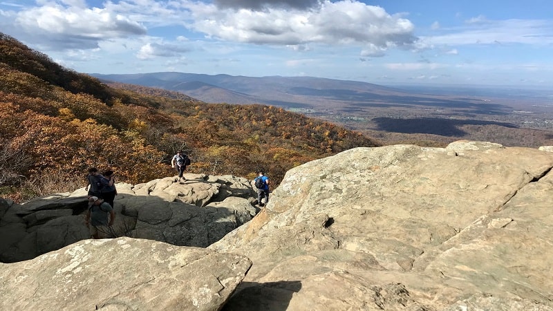
Whether you hike Humpback Rocks as a 4.3-mile loop or a 2.0-mile out-and-back hike, you’ll be stunned by 360-degree views at the jagged summit.
The ascent is not for the faint of heart. Thankfully, a handful of benches and a wooden staircase ease the trek to the very top where vistas are plentiful.
On the way down, re-trace your steps or follow a leafy stretch of white-blazed Appalachian Trail to return to the Humpback Gap Overlook parking area.
#2: Jack Albright Loop (milepost 5.8)
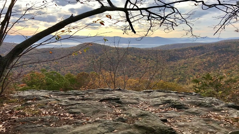
The 3.8-mile hike on the Jack Albright Loop (also known as Dobie Mountain) shares a parking lot with the Humpback Rocks hike. Plan to arrive early.
The Glass Hollow Overlook at the 1.0-mile mark (counter-clockwise route) is not to be missed for overwhelmingly beautiful panoramas of the Rockfish Valley.
Keep your eyes open for remains of a 1960’s plane crash – a Beechcraft Bonanza. What’s left of the wreckage is up an unmarked spur trail at the 2.5-mile mark.
#3: Dripping Rock South (milepost 9.6)
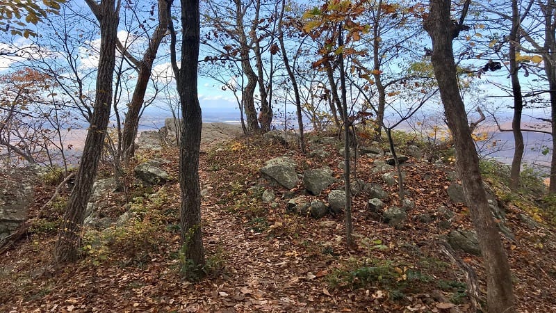
The short and sweet Dripping Rock South hike originates across the Blue Ridge Parkway from the Dripping Rock parking area (more a pull-out than a parking lot).
The 2.8-mile out-and-back hike guides you along a forested southbound section of the Appalachian Trail. Along the way, you’ll be wowed by two scenic overlooks.
The first overlook appears at the 0.5-mile mark, while the second overlook arrives at the 1.4-mile mark and serves as the turn-around point for this hike.
#4: White Rock Falls (milepost 18.5)
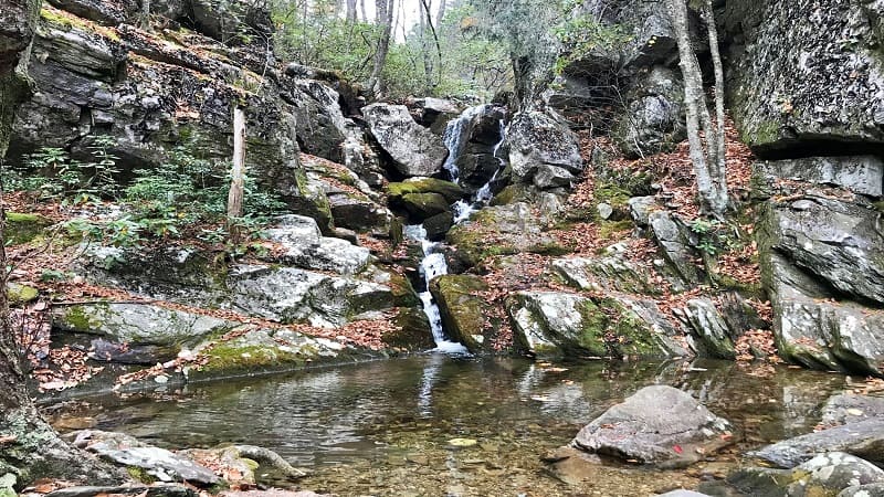
There’s a lot to love about this 4.4-mile loop hike to and beyond White Rock Falls, including creek crossings, rock scrambles, a waterfall and scenic overlooks.
Get up close to the 30-foot-tall tumbling falls, then take your shoes off to revel in the refreshing waterfall basin. Ahh, delightful.
Less than 0.5-mile past the falls, settle in at a rocky overlook with panoramic views. At the 2.7-mile mark, the Slacks Overlook boasts vistas and a picnic table.
#5: Bluff Mountain (milepost 51.7)
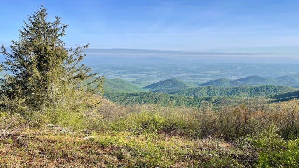
The hike to the top of Bluff Mountain on a southbound stretch of the Appalachian Trail is straightforward. Hike two miles up, then two miles back.
On the way up, you’ll see a spur trail after just 0.4 miles. Turn right for a short walk to Punch Bowl Shelter. In spring, enjoy all the colorful wildflowers.
This hike begins across from the parking area for the Punch Bowl Mountain Overlook. Savor the scenic west-facing vistas across the Blue Ridge Mountains.
#6: Apple Orchard Mountain (milepost 74.7)
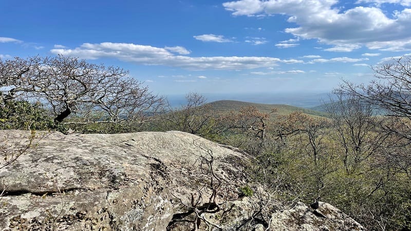
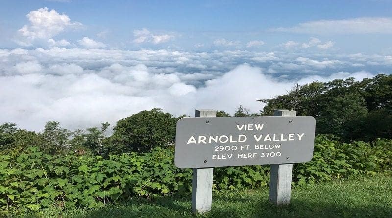
The hike to Apple Orchard Mountain starts at the Thunder Ridge Overlook, a stone viewing deck with gorgeous 180-degree vistas across the Arnold Valley.
From here, it’s an easy, forested hike along a southbound stretch of the Appalachian Trail. At the 1.4-mile mark, you’ll reach a short spur trail.
Turn left for the Thunder Hill Shelter. It’s a fairly basic lean-to shelter with a wooden picnic table and a stone fire pit, as well as a bear box.
#7: Apple Orchard Falls (milepost 78.4)
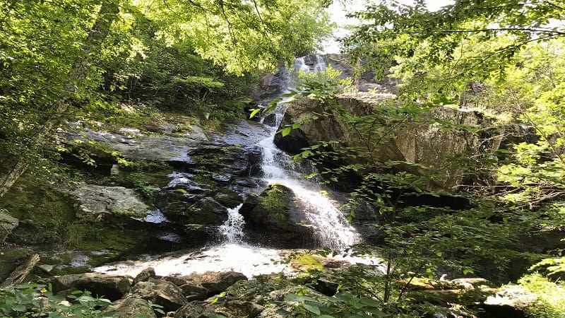
The 2.9-mile out-and-back hike to 200-foot-tall Apple Orchard Falls begins at the Sunset Field Overlook. Before you begin, savor mountain panoramas.
As you take your first steps, you’ll quickly become enveloped by the rich, green canopy of the forest. Cross streams, even wooden bridges, on the way to the falls.
At the 1.1-mile mark, you’ll spy an inviting waterfall. Break to re-hydrate, but press on, for this is not the waterfall you’ve worked so hard to reach. Soon.
#8: Fallingwater Cascades (milepost 83.1)
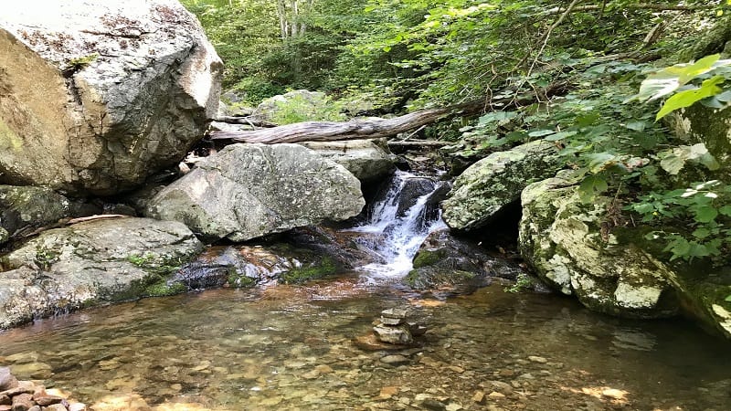
The 1.2-mile out-and-back hike to Fallingwater Cascades begins just across the Blue Ridge Parkway from the small parking area.
This easy hike along a forested trail to a gently cascading waterfall is a nice break from an afternoon drive along the parkway. Take off your shoes for a splash.
The waterfall is small, but it offers a refreshing respite on a summer day. This hike can also be done as a loop hike if you continue the trail just past the falls.
#9: Flat Top (milepost 83.1)
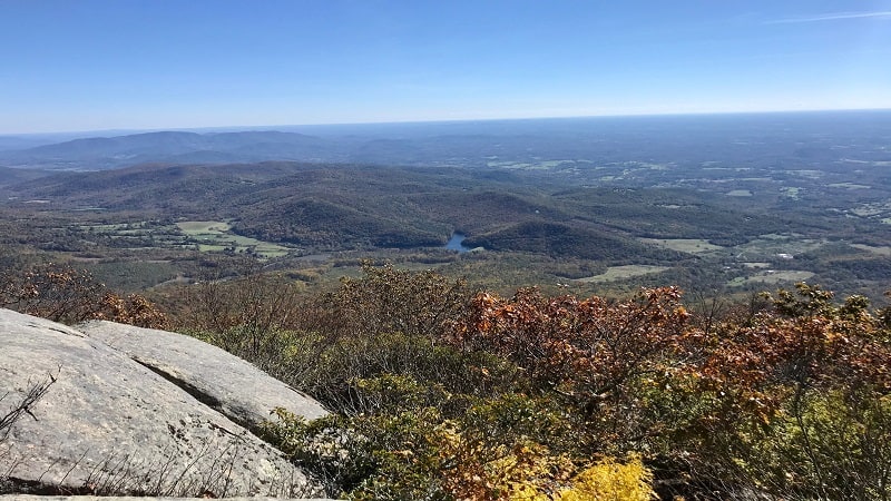
This strenuous 5.7-mile out-and-back hike to Flat Top sees an elevation gain of nearly 1,800 feet, but it’s a small price to pay for such beautiful views.
On the way up, break at the false summit at the 2.1-mile mark. This rocky outcrop wows with scenic vistas. Skip Cross Rock. The spur is steep and it’s very meh.
There’s not one single viewpoint at the very top, so hop around to different rocky outcrops to savor the panoramic views in various directions.
#10: Harkening Hill (milepost 85.6)
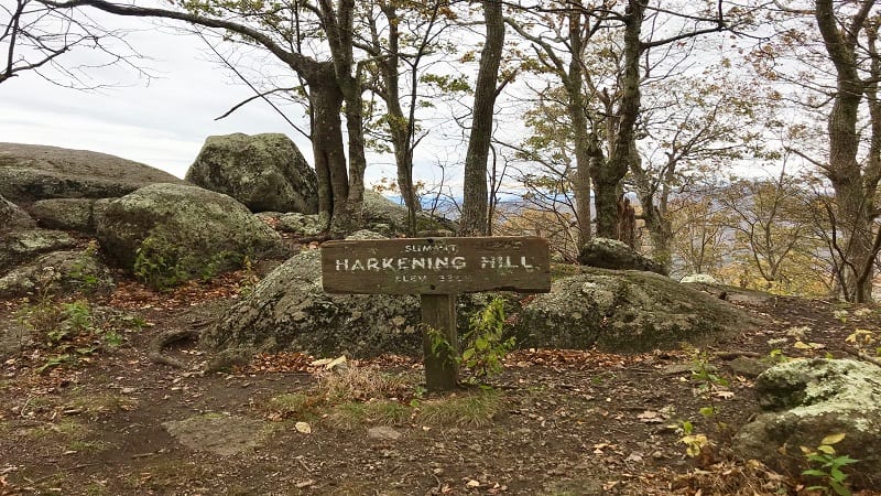
Harkening Hill stands in the shadow of Sharp Top, the most popular of the three Peaks of Otter hikes, but the views from the top are no less breathtaking.
You can complete this hike as a 2.8-mile out-and-back hike or a 3.2-mile loop hike, traipsing along leafy and serene stretches of trail.
A short spur trail before the summit leads you to Balance Rock. It was unique and worthy of mention on a sign. A second “balance rock” wows past the summit.
#11: Johnson Farm (milepost 85.6)
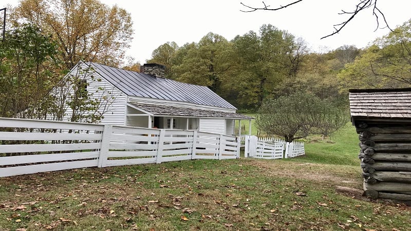
This easy hike can be done on its own or coupled with Harkening Hill. Begin to the right of the Peaks of Otter Visitor Center, across the byway from the lodge.
The main attraction is Johnson Farm, a family farmhouse that was built in 1854. It’s since been restored and includes a weaving shed and apple house.
You’ll also pass by what was once Hotel Mons, a popular mountain resort complex that closed in the 1930s. Today, there is nothing more than a large clearing.
#12: Sharp Top (milepost 85.6)
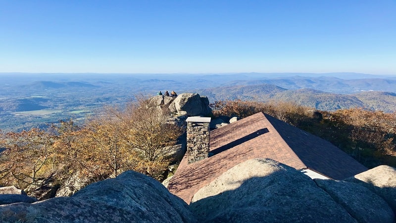
The 3.3-mile out-and-back hike wows with 360-degree panoramas from Sharp Top. There are stone walkways, stairs and terraces at the summit.
There’s even a stone shelter that was once a restaurant in the 1950s and 1960s at the top of what was once thought to be Virginia’s highest peak.
On the way down, make time for the short spur trail to check out Buzzard’s Roost. Climb the massive rock for spectacular views across the Blue Ridge Mountains.
#13: Abbott Lake Trail (milepost 85.6)
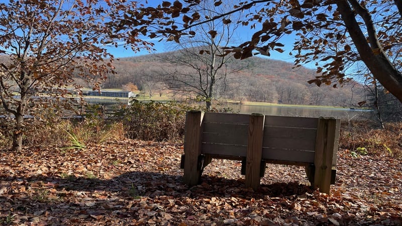
The Abbott Lake Trail is an easy 1.0-mile paved walking loop that encircles Abbott Lake, a 24-acre man-made lake that’s steps from the Blue Ridge Parkway.
This leg stretcher hike rewards with views of Sharp Top and Flat Top as you walk around the pristine lake that’s behind the Peaks of Otter Lodge.
There are lots of benches around the lake too, when you just want to settle in and take in the views, which are especially scenic in the fall.
#14: Black Ridge Trail (milepost 169)
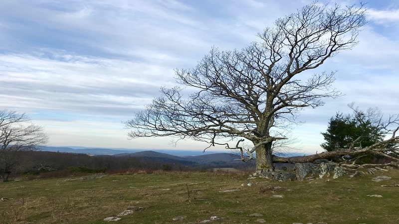
The Black Ridge Trail near Floyd sets off just behind the Rocky Knob Visitor Center at milepost 169 on the Blue Ridge Parkway. This is a scenic 3.0-mile loop hike.
This hike begins as hikes do. Walk through shady forest and cross over creeks. At the .5-mile mark, keep your eyes open for the smiling rock monster.
It’s simply a smile made of rocks on the left side of the trail. I’m sure it’s frowned up – like rock cairns – but this smiling “creature” made me smile, too.
#15: Fisher Peak Loop Trail (milepost 213.0)
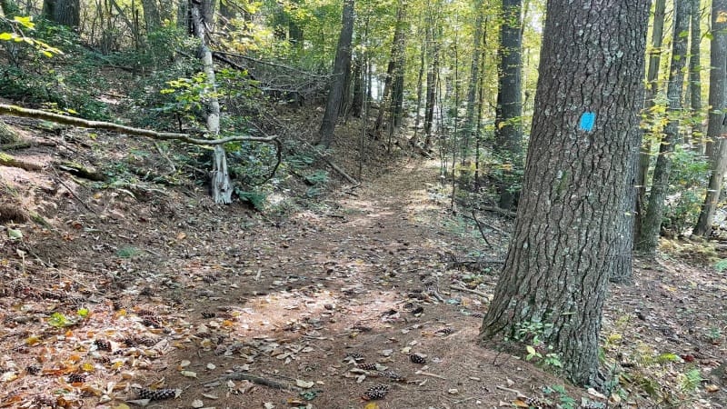
Two hiking trails at the Blue Ridge Music Center in Galax create a 3.1-mile lollipop hike. These trails are the Fisher Peak Loop Trail and High Meadow Trail.
The two trails are just south of the Blue Ridge Music Center and are best accessed from a parking lot on State Route 612 (Foothills Road).
You can also access the forested hiking trails from the Blue Ridge Music Center, but only when it is open from May through October.
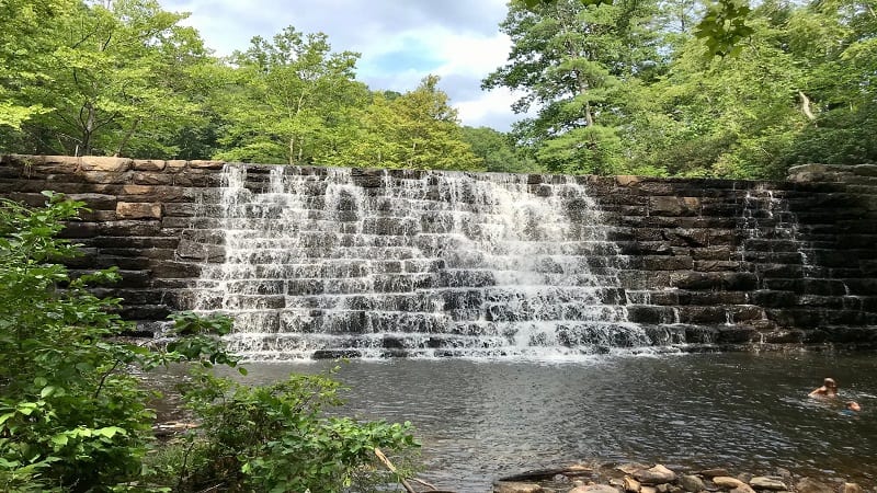
Of course, there are more hiking trails to enjoy across Virginia’s 215-mile section of the Blue Ridge Parkway, even scenic pull-offs like Otter Lake at milepost 63.1.
I’m hoping to tackle more of the trails further south on this scenic byway. For now, enjoy and happy hiking on these Blue Ridge Parkway hiking trails.

Erin Gifford has completed more than 300 hikes in Virginia. She is also the author of three hiking guidebooks from Falcon Guides. Need help finding a hike? Check out the Trail Finder feature or send Erin an email at [email protected].

