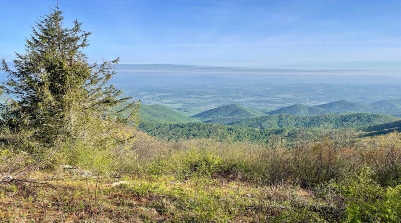
Bluff Mountain: An Appalachian Trail Hike With Spectacular Views Across Lexington, Virginia
On my quest to research summit hikes in Virginia for my third book, Virginia Summits: Hiking 40 Stunning Peaks, I recently found myself at Bluff Mountain.
The Bluff Mountain hike along a southbound stretch of the white-blazed Appalachian Trail is an easy 30-minute drive from Lexington, Virginia.
* Before I go on, watch a short video I made when I hiked Bluff Mountain. *
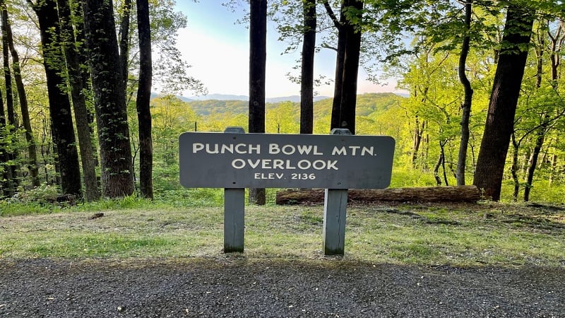
The hike is straightforward, steadily ascending two miles until you reach the top of Bluff Mountain (elevation 3,330 feet). As a bonus, there’s a trail shelter.
The trailhead is located on the Blue Ridge Parkway, but make note, there is no AT&T cell service in the parking area at the Punch Bowl Mountain Overlook.
| Trail Stats | |
|---|---|
| Length | 4.3 miles |
| Difficulty | Moderate |
| Trail Type | Out-and-Back |
| Elevation Gain | 1,414 feet |
| Duration | 2.5-3.5 hours |
| Terrain | Mostly dirt & rock trails |
| Dog-Friendly | Yes |
| Fee | Free |
| Driving Directions | Click Here |
Appalachian Trail
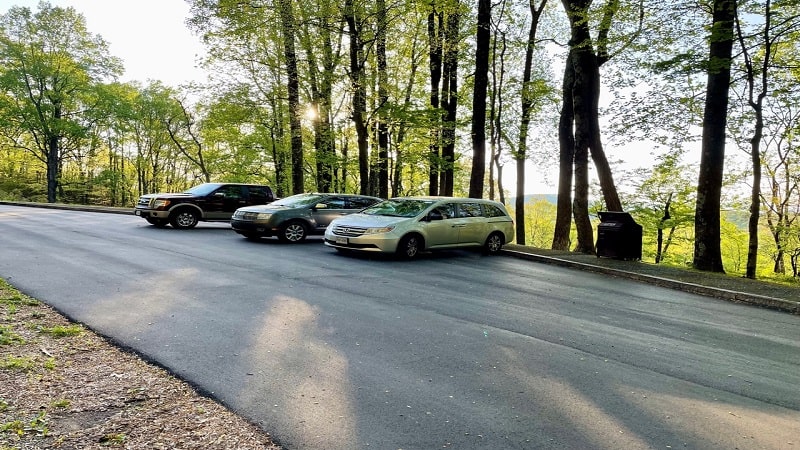
The parking lot at milepost 51.7 is more a pull-off than a parking lot. There are no actual lined spaces, though a half-dozen cars can safely park here.
From the Punch Bowl Mountain Overlook, the east-facing vistas across the George Washington National Forest are mostly obscured by the large trees.
Cross the Blue Ridge Parkway to pick up the southbound stretch of the Appalachian Trail. The trailhead is just north of the parking area.
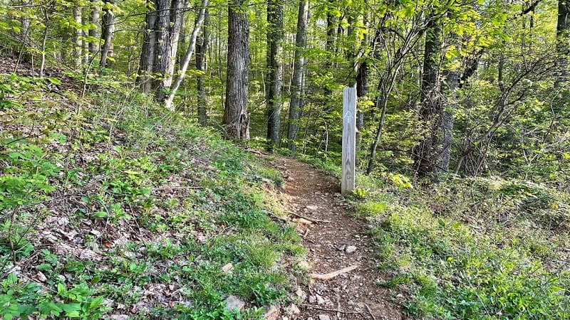
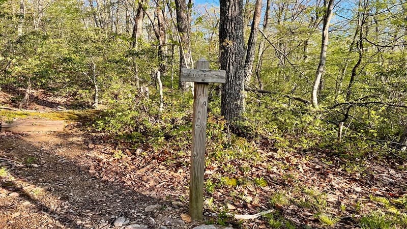
Within the first few steps you’ll see a trail sign indicating that the Punch Bowl Shelter is just 0.4 miles up the trail (emphasis on up the trail).
Honestly, while this is a climb all the way to the top, it’s not ruthless. It’s very manageable and quite beautiful, especially with spring wildflowers in bloom.
Punch Bowl Shelter
If you want to check out the hikers’ shelter, turn right onto the spur trail at the 0.4-mile mark. It’s 0.2 miles to the Punch Bowl Shelter.
The shelter is a typical lean-to shelter that’s common on the Appalachian Trail. I arrived at 7:30 am and was surprised to not to see a single thru-hiker.
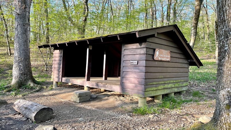
I may have been there too early in the season, per WhereAreTheHikers.com. The site says the hikers are just getting to the area in early-May.
At the Punch Bowl Shelter, there’s a picnic table, a privy and a fire pit, as well as plenty of space for tents. It’s a fairly basic set-up you’ll see at an AT shelter.
Bluff Mountain
From the shelter, re-trace your steps, then continue climbing the Appalachian Trail. You’ll literally climb at the 1.1-mile mark when you reach a dozen steps.

As you proceed, you’ll reach a half-dozen switchbacks at the 2.0-mile mark. You’re getting close now. Then, at the 2.3-mile mark, you are at the summit.
Interestingly, you’ll see the remains of what was once a fire tower used by the U.S. Forest Service. All that’s left is some of the foundation and a few steps.
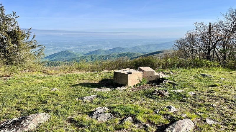
The foundation and steps serve as little more than places to sit today. From here, take in the scenic west-facing vistas across the Blue Ridge Mountains.
At the summit, keep your eyes peeled. Something I missed was a historical marker of tribute to Ottie Cline Powell.
It’s said that four-year-old Powell was found dead here in 1892, after wandering away from Tower Hill Schoolhouse to collect firewood.
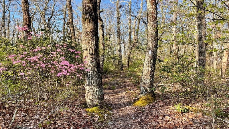
From the top of Bluff Mountain, re-trace your steps to the trailhead. Your hike is complete at the 4.3-mile mark with an elevation gain of 1,400+ feet.
Wrap-Up Notes
From the parking area, this hike took me nearly 2.5 hours, including time spent exploring the Punch Bowl Shelter and reveling in far-reaching vistas.
There are more than a few fantastic hikes near Lexington, Virginia, including more summit hikes, like Mount Pleasant and Cole Mountain in Buena Vista.
The latter two hikes are popular as backpacking routes, especially Mount Pleasant, which wows with dramatic colors at sunset. Highly recommend.

Erin Gifford has completed more than 300 hikes in Virginia. She is also the author of three hiking guidebooks from Falcon Guides. Need help finding a hike? Check out the Trail Finder feature or send Erin an email at [email protected].

