Sharp Top Trail: Hike What Was Once Thought to Be Virginia’s Tallest Mountain
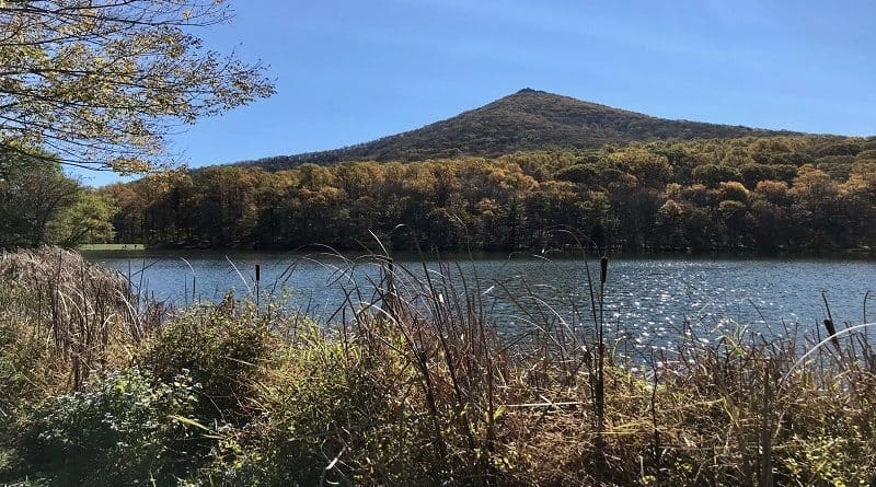
Sharp Top is one of three mountains in Bedford, Virginia called the Peaks of Otter. A 3.3-mile out-and-back hike on the Sharp Top Trail leads to summit views.
At 3,875 feet tall, Sharp Top is not the tallest of the mountain peaks, but it is the most popular of the three. The other two are Flat Top and Harkening Hill.
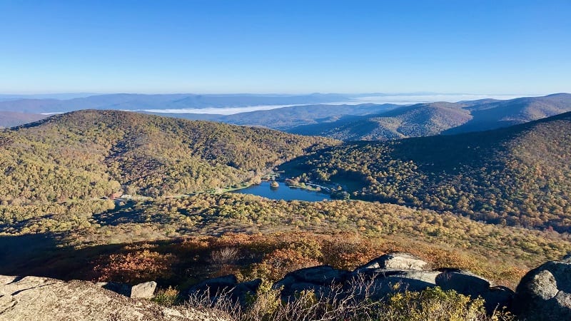
Located in Virginia’s Jefferson National Forest, the rocky Sharp Top Trail is steps from the Blue Ridge Parkway.
The 360-degree views contribute to its popularity, but it helps that there are two ways to the top: a full round trip hike and a shuttle paired with a 0.25-mile hike.
On weekends and in peak season, the parking lot can overflow. Even the Peaks of Otter visitor center lot across the Blue Ridge Parkway can fill up.
Given its popularity, I suggest tackling this hike on a weekday or early on a weekend. Sharp Top is also a favorite for a sunrise hike.
| Trail Stats | |
|---|---|
| Length | 3.3 miles |
| Difficulty | Strenuous |
| Trail Type | Out-and-Back |
| Elevation Gain | 1,253 feet |
| Duration | 2.5-3.5 hours |
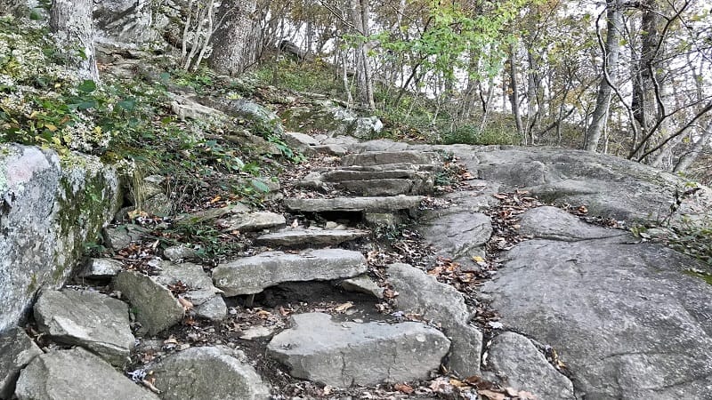
| Terrain | Dirt & rock trails, stone steps |
| Dog-Friendly | Yes |
| Fee | Free |
| Driving Directions | Click Here |
Sharp Top Hike
When you arrive at the parking area for Sharp Top, you’ll note that it’s not very big. There’s room for maybe two dozen cars.
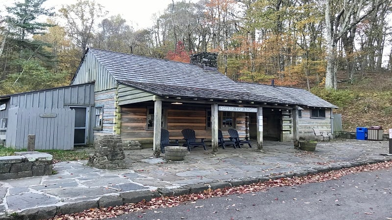
The Sharp Top Trail begins at the back of the parking area. The trailhead is next to the Sharp Top Store, a small camp store that sells snacks, supplies and souvenirs.
Sharp Top Trail Shuttle
The Sharp Top Store also sells walk-up Sharp Top shuttle tickets. The shuttle bus delivers visitors to within 0.25-mile of the summit.

The shuttle runs from 8:30 am to 5 pm and departs from the Peaks of Otter Lodge, on the northeast side of Abbott Lake, within Peaks of Otter Recreation Area.
Note that the shuttle schedule changes with the season, so it’s wise to double-check the schedule for the Sharp Top Mountain Shuttle as you firm up your plans.
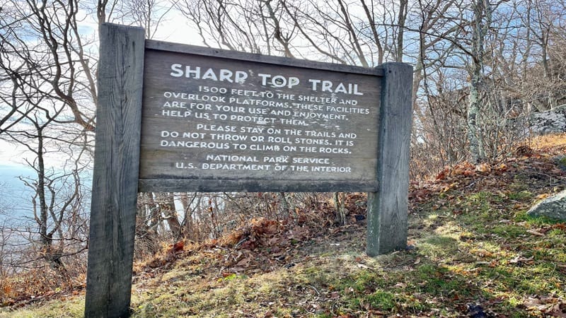
Near the top, a short spur trail ascends the final 1,500 feet to the views. Visitors can buy one-way ($12/adult, $6/child) or round-trip ($15/adult, $7/child) tickets.
For the full Sharp Top hike (3.3 miles, out-and-back), the trail begins with a dozen stone steps. Then, a path on the left leads to the Peaks of Otter campground.
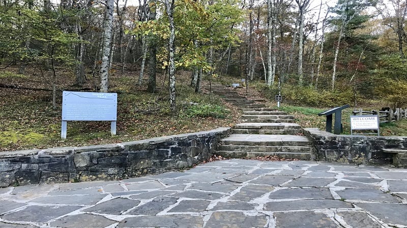
Continue on (yes, more steps). At the 0.2-mark, the hiking trail crosses over a stretch of road used to shuttle visitors near the top of Sharp Top Mountain.
Sharp Top Mountain Hike
As the trail proceeds, you’ll quickly catch on to a pattern. Some stone steps, then a stretch of hiking trail, then more stone steps. Repeat, repeat.
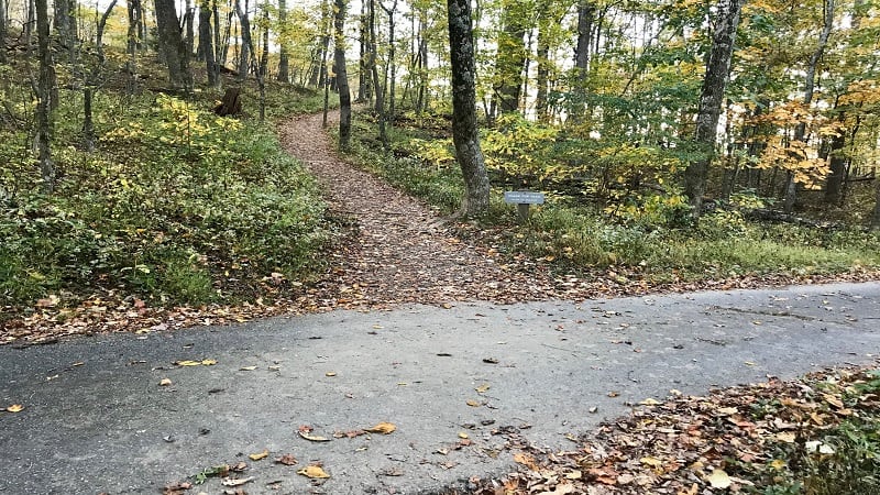
At the 0.75-mile mark, it may appear to get technical given the presence of hand rails, but it really was no problem.
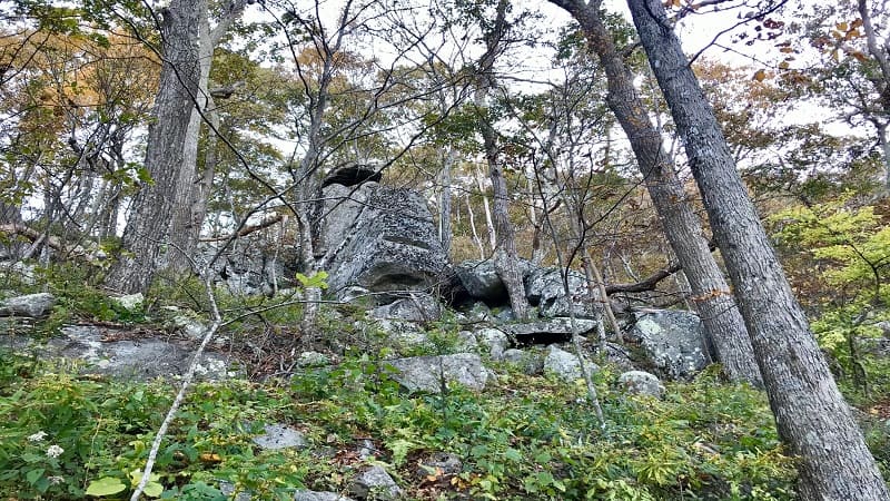
Then, keep your eyes open for a change of scenery. As in, gigantic boulders near the 1-mile mark. They really were pretty cool. Look to your left at this point.
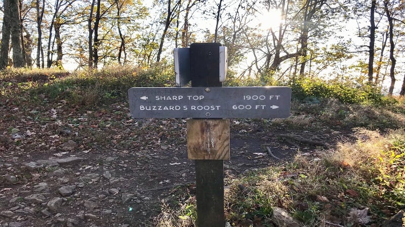
At the 1.2-mark, you’ll reach a trail sign. A decision to make, too. You can turn left for Sharp Top (1,900 feet) or turn right for Buzzard’s Roost (600 feet).
I turned left for Sharp Top, but hit Buzzard’s Roost on the way down. The trail would get more crowded shortly, so I thought it best to start with Sharp Top.
Near the 1.5-mile mark, you’ll see short spur trails on both sides of Sharp Top Trail. These are the paths leading up from the Sharp Top Mountain bus stop.
Virginia’s Tallest Mountain (Once)
You have arrived at Sharp Top at the 1.6-mile mark. Even better, you are welcomed by a large Sharp Top Mountain sign.
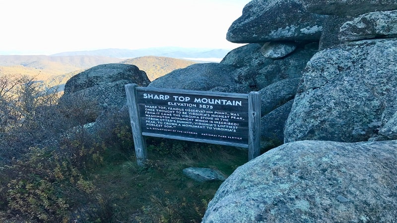
Sharp Top was once thought to be the highest peak in Virginia. We now know that this is actually Mount Rogers, which stands at 5,729 feet tall.
Still, it’s stone from Sharp Top that has a place inside the Washington Monument in Washington, DC. The stone was even inscribed to honor George Washington.
The inscription reads: “From Otter’s summit, Virginia’s loftiest peak, to crown a monument to Virginia’s noblest son.”
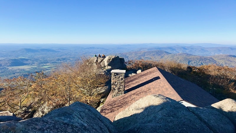
As you explore the summit, you’ll realize it’s not a traditional mountain summit. It’s not rugged and jagged, with outcroppings to sit on for scenic views.
Views From the Top
At the top of the mountain, there are stone staircases and walkways. There’s even a stone shelter, though it’s no longer used as a shelter (no camping allowed).
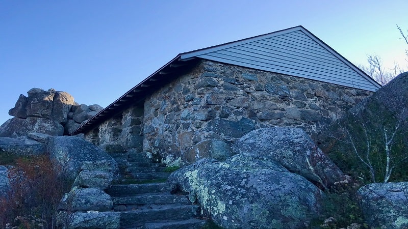
I chatted with a park ranger at the visitors center and learned that this shelter was a restaurant in the 1950s and 1960s. Guests arrived by mule-drawn carriages.
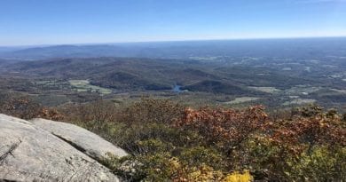
Once I savored the amazing views across the Blue Ridge Mountains, I re-traced my steps, then continued on the spur trail to check out Buzzard’s Roost.
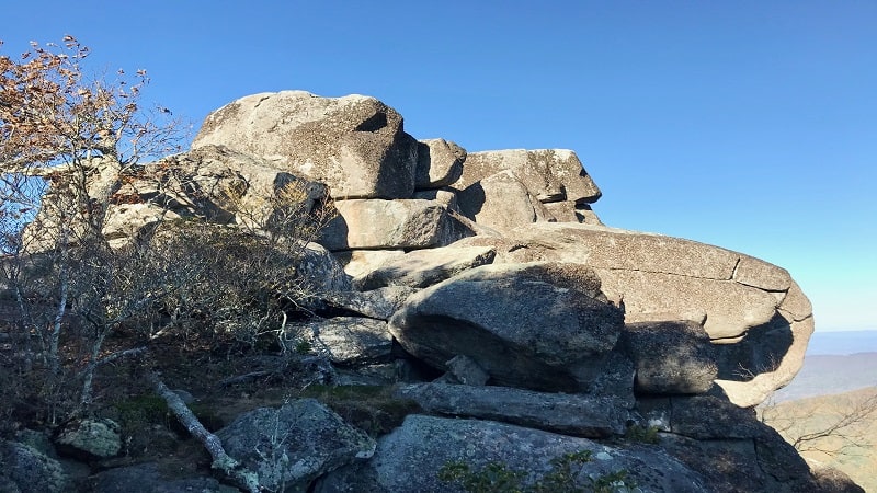
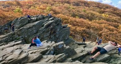
The views are not as good as those from Sharp Top, but still quite nice. Carefully climb the massive rock or take a short spur path on the right for views.
From here, I re-traced my steps back to the parking area. By now, many more people were ascending the trail. I was glad I got an early start on this hike.
Hike Options
The shuttle is nice for those either not interested or not able to hike to the top. Most everyone can enjoy spectacular views from the summit of Sharp Top.
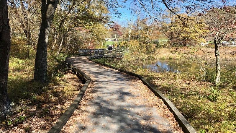
For a short paved walk, look next door to Peaks of Otter Lodge. It’s an easy 0.9-mile walk around Abbott Lake on the Abbott Lake Trail.
The Peaks of Otter hike to Harkening Hill also begins across the Blue Ridge Parkway. I’ve outlined three hiking options that range from 2.8 to 3.6 miles.
Wrap-Up Notes
Sharp Top is located at milepost 85.6 on the Blue Ridge Parkway. The Sharp Top Trail is located on the south side, while the visitor center is on the north side.
From the parking area, this hike took me nearly two hours, including time spent at Sharp Top and Buzzard’s Roost.
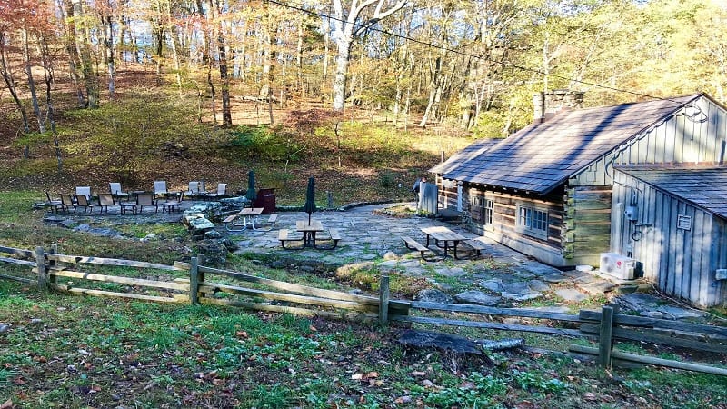
The actual Sharp Top Mountain address is 7861 Sheep Creek Road in Bedford. For post-hike snacks and drinks, pop in the Sharp Top Store at the trailhead.
For a sit-down meal, look next door to the Peaks of Otter Lodge. Their Lake View Restaurant serves up breakfast, lunch and dinner in-season.
If you want to see what the Sharp Top hike looks like before you go, take a look at this short video I created when I hiked the Sharp Top Trail.
Eager for more steps on area hiking trails? Check out my reviews of all of the Peaks of Otter hikes, including Flat Top and Harkening Hill.

Erin Gifford has completed more than 300 hikes in Virginia. She is also the author of three hiking guidebooks from Falcon Guides. Need help finding a hike? Check out the Trail Finder feature or send Erin an email at [email protected].

