Fallingwater Cascades Trail: An Easy Hike to a Small Waterfall Near Bedford, Virginia
The 1.2-mile out-and-back hike on the Fallingwater Cascades Trail is an easy hike at milepost 83 on the Blue Ridge Parkway in Bedford, Virginia.
It’s a delightful hike in the woods that leads to a small, cascading waterfall. It’s truly refreshing on a warm summer day spent outside exploring nature.
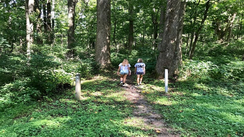
This short hike shares a parking area with the 4.7-mile round trip hike on the Flat Top Trail that wows with views across the Shenandoah Valley.
My advice is to arrive early in the day if you want to hike to Fallingwater Cascades. It’s not a long trail, but it’s perfect for savoring the quiet of the forest.
| Trail Stats | |
|---|---|
| Length | 1.2 miles |
| Difficulty | Easy |
| Trail Type | Out-and-Back |
| Elevation Gain | 426 feet |
| Duration | 1 hour |
| Terrain | Mostly dirt & gravel trails |
| Dog-Friendly | Yes |
| Fee | Free |
| Driving Directions | Click Here |
Fallingwater Parking Area
A dozen cars can tuck comfortably into spaces at the Fallingwater Cascades parking area. Another two or three cars can park on the grassy median.
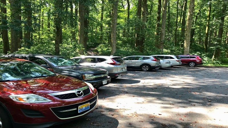
The starting point for this hike is directly across the Blue Ridge Parkway from the parking lot. It’s also a short drive from the Peaks of Otter visitor center.
This is your last chance for cell service. Once you step foot onto the trail, all service disappears, at least for AT&T customers, like me.
Fallingwater Cascades Trail
Once you pass the trail marker, you will be delighted by a surprisingly open and airy dirt trail. Most waterfall hikes are dark as you descend deep into the forest.
This hike was shaded, but more bright and cheery as you continue on the wooded trail. Along the way, revel in the mountain laurel in warm weather months.
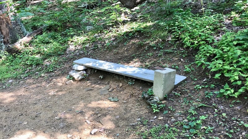
At the 0.15-mile mark, you will see a wooden bench (kind of) built into the hillside. You’ll be happy to see this rustic place to sit on the return hike up the hill.
In a few more steps, the trail becomes more rocks and gravel. Simple wooden steps appear by the 0.3-mile mark to make the descent easier on one’s knees.
At the 0.5-mile mark, there’s another bench offering the first views of refreshingly beautiful Falling Water Cascades.
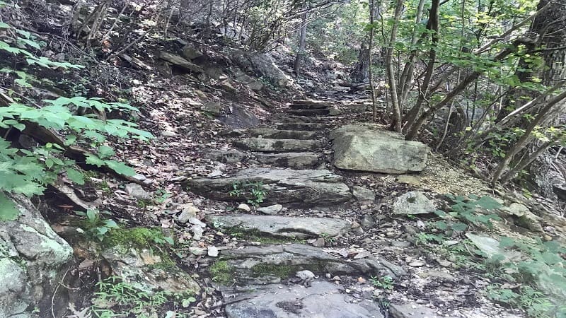
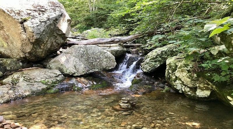
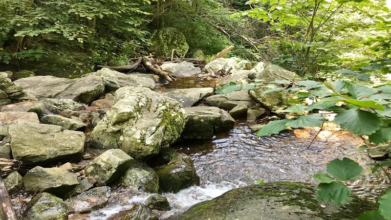
By the 0.6-mile mark you are at the waterfall, following a set of stone steps built into the hill. It’s a small waterfall, but it does offer a refreshing respite.
This is a great place to splash in brisk water. There are several delightful pools just right for taking off your shoes for a cool down.
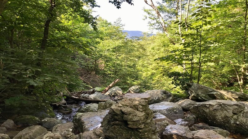
Stepping stones at the waterfall allow you to cross over Fallingwater Creek to continue on the trail if you choose to do so to make this a loop trail hike.
Alternatively, you can re-trace your steps to return to the parking lot after a satisfying waterfall break.
If you’re up for a second waterfall hike, the trailhead for the 2.8-mile out-and-back Apple Orchard Falls Trail is less than than 10 minutes away at milepost 78.
Look for the parking lot on the right and a sign for the Sunset Fields Overlook.
Wrap-Up Notes
This hike took us (me + two 13 y.o. girls) 40 minutes to complete, though we opted for the shorter out-and-back route rather than the loop hike.
We were on our way to Apple Orchard Falls and wanted to stop to check out this waterfall on the way.
For eats and sips, the closest town is Bedford, which is 20 minutes away. Here you’ll find a historic town in the heart of Virginia’s Blue Ridge Mountains.
If you have more time, stroll around Abbott Lake or hike to the top of Apple Orchard Mountain, even take the Sharp Top Trail up Sharp Top Mountain.
There are plenty of area hikes, including the scenic Peaks of Otter hikes. You can even find more trails if you want to go hiking in Roanoke, Virginia.

Erin Gifford has completed more than 300 hikes in Virginia. She is also the author of three hiking guidebooks from Falcon Guides. Need help finding a hike? Check out the Trail Finder feature or send Erin an email at [email protected].

