Peaks of Otter: Iconic Blue Ridge Parkway Hikes in Bedford County, Virginia
The Peaks of Otter are three scenic mountain peaks near Bedford, Virginia. This popular trifecta of hikes includes Sharp Top, Flat Top and Harkening Hill.
The hiking trails are located at or near the Peaks of Otter Visitor Center at Blue Ridge Parkway milepost 85.6. Here you’ll also find restrooms and maps.
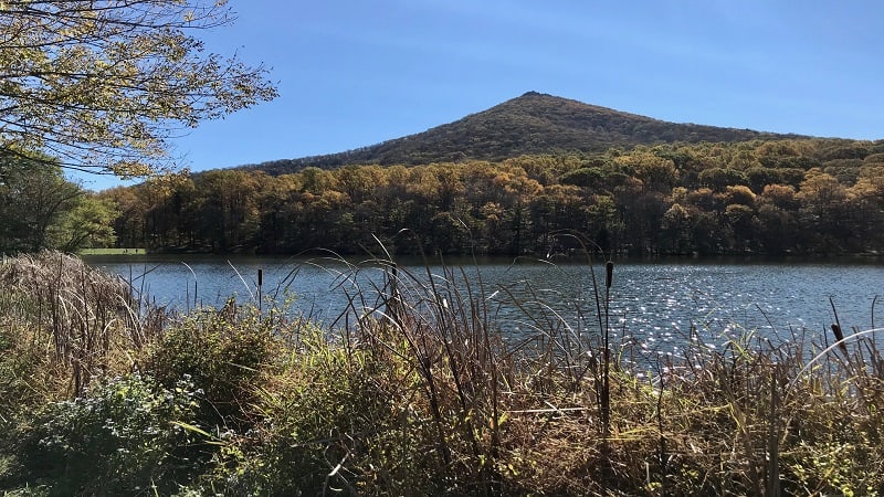
In addition to trails to the three peaks, there are several other easy trails, including the Johnson Farm Trail, Abbott Lake Trail and Elk Run Loop.
I’ve hiked all three peaks, so I’ve got what you need to know about the Peaks of Otter hikes, starting with the most popular, Sharp Top Mountain.
Sharp Top Mountain
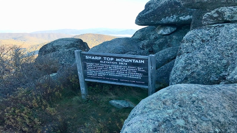
Sharp Top stands proud at 3,875 feet tall, and was once thought to be the tallest mountain in Virginia. We now know that this honor belongs to Mount Rogers.
Uniquely, stone from Sharp Top was placed inside the Washington Monument in Washington, DC. The stone was inscribed to honor George Washington.
The trailhead for the Sharp Top hike is across the Blue Ridge Parkway from the visitor center. You’ll see the Sharp Top parking area and a seasonal camp store.
There are two ways to reach the top of Sharp Top. The first way is to hike both directions, up and down, to check off this 3.3-mile round trip hike.
This is a moderately strenuous trail. Even with lots of stone steps to help manage the ascent, there are some steep sections to navigate on the Sharp Top Trail.
In my opinion, steps are better than switchbacks. On the way up, you’ll pass the Peaks of Otter Campground and a rock outcrop called Buzzard’s Roost.
You can also take the seasonal shuttle bus service, which delivers visitors within 0.25-mile of the summit. You’ll need to hike the last 1,500 feet to the top.
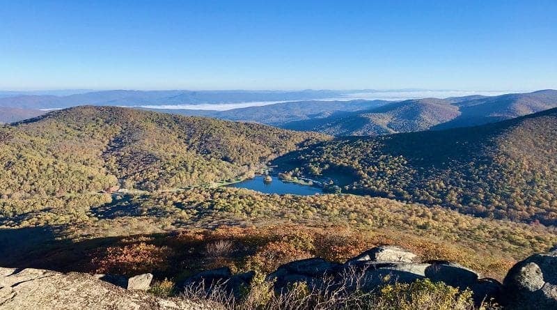
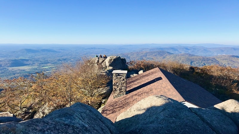
At the summit of Sharp Top Mountain, there are stone staircases, walkways, terraces and a one-time stone shelter. The views from the top are breathtaking.
Harkening Hill
The hike to the top of Harkening Hill (3,372 feet tall) can be done three different ways. The most direct route begins just behind the visitors center.
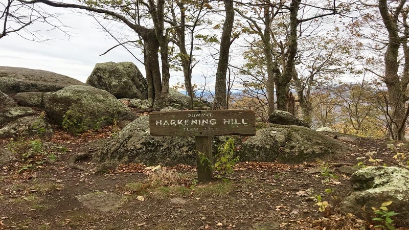
Taking the Harkening Hill Trail, it’s a 2.8-mile out-and-back hike to revel in summit views. However, I recommend the two loop hikes that include Harkening Hill.
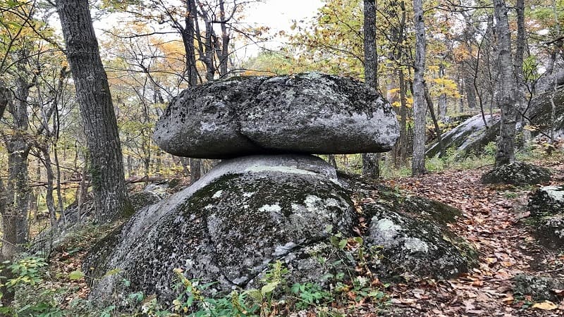
The first loop hike is 3.2 miles and leads to Harkening Hill views, as well as Balance Rock, a large boulder perched on a small rock that’s just steps off the trail.
The second loop hike is 3.6 miles in length and includes Harkening Hill, Balance Rock and Johnson Farm, a historic farm that dates to 1854.
At Johnson Farm, there is a restored farmhouse, a weaving shed and an apple house. Living history demonstrations take place on a seasonal basis.
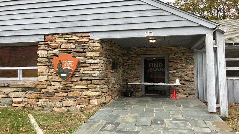
All three Harkening Hill hikes begin and end at the Peaks of Otter Visitor Center, which is operated by the National Park Service.
From the visitor center, you can also hike the 0.8-mile Elk Run Loop, which features signage throughout the hike on the ecology of the forest.
Flat Top Mountain
The Flat Top hike can be done in two ways, starting from the south at Abbott Lake or from the north at a parking lot at milepost 83.1 on the Blue Ridge Parkway.
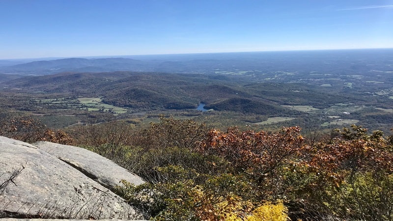
From the Blue Ridge Parkway, it’s a 5.7-mile out-and-back hike. On the way up, a spur trail leads to Cross Rock, an interesting rock formation.
From Abbott Lake, it’s 4.7 miles round trip from the start of the Flat Top Trail. Both routes afford spectacular mountain views from rocky outcrops.
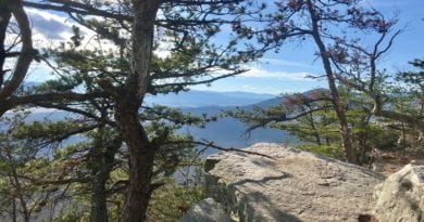
It’s worth noting that there is no actual peak or summit at the top of Flat Top. As the name implies, it’s flat. A sign at the top lets you know that you have arrived.
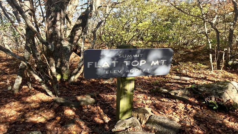
There are multiple lookout points from atop Flat Top. Since you can approach Flat Top from two directions, be sure to re-trace your steps to your starting point.
Why is it Called Peaks of Otter?
Before you set off to tackle the Peaks of Otter hikes, you may want to know why they are called the Peaks of Otter. I was curious, too.
On my first visit, I asked the park ranger this question. Unfortunately, there is no clear answer. One theory ties back to European settlers that arrived in the 1700s.
Some think that brothers Charles and Robert Ewing named the Peaks after their surname as pronounced in Scottish Gaelic and translated as “Clan Ewing of Otter.”
Another theory relates to the anglicizing of “Otari,” a Cherokee word that means “high places.” The Peaks may have also been named after the nearby Otter River.
We may never know, but we do know that the Peaks of Otter have become widely known for far-reaching views that are well-worth the drive.
Bonus Hikes
If you are planning to spend a few days in the area, allow me to suggest three bonus trails, including two waterfall hikes near the Peaks of Otter.
Fallingwater Cascades
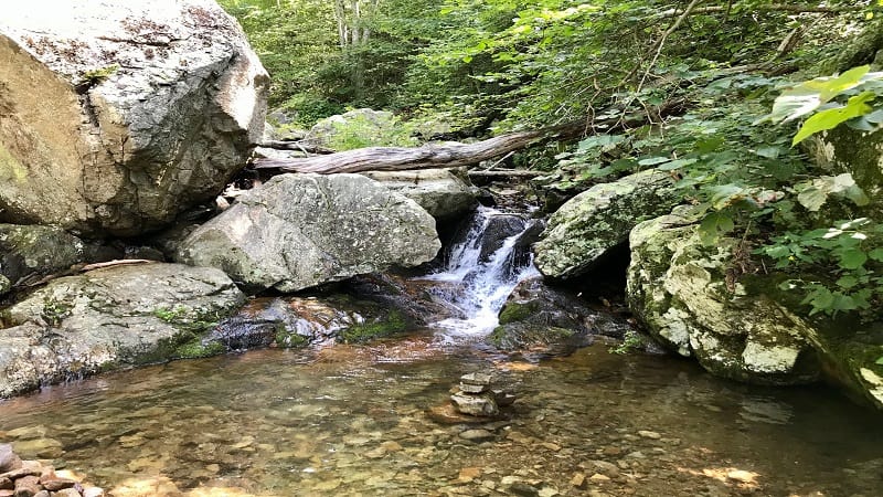
The Fallingwater Cascades Trail at milepost 83.1 shares a parking area with Flat Top. This easy 1.2-mile out-and-back hike is a favorite with children.
The forested trail leads to a gently cascading waterfall. It’s a nice break from an afternoon drive along the parkway. Remove your shoes for a splash.
The waterfall is small, but it offers a refreshing respite on a warm summer day. This hike can also be done as a loop hike if you continue the trail just past the falls.
Abbott Lake Trail
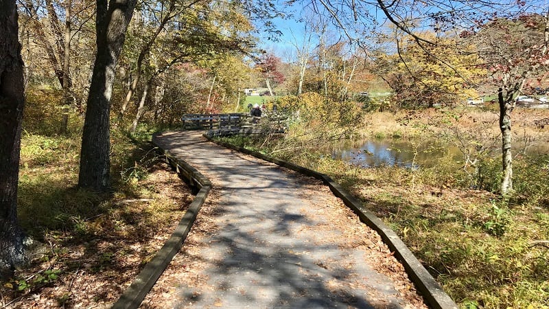
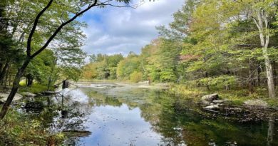
For an easy, scenic loop hike, look to the paved 1.0-mile loop around 24-acre Abbott Lake, which sits behind the Peaks of Otter Lodge.
This fully-accessible trail leads visitors through wooded forest and open field as you circumnavigate the pristine lake and savor views of Sharp Top.
On this kid-friendly trail, you’ll enjoy a leisurely stroll across stretches of boardwalk and out onto a couple of wooden overlooks around Abbott Lake.
Apple Orchard Falls
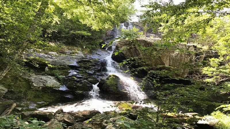
Further along the Blue Ridge Parkway at milepost 78 is the trailhead for the hike to 200-foot-tall Apple Orchard Falls. This hike begins at the Sunset Field Overlook.
With the first few steps of this 2.9-mile out-and-back hike, you’ll be taken in by the lush forest. You’ll cross streams and wooden bridges on the way to the falls.
At the 1.1-mile mark, you’ll notice an inviting waterfall. This is a great place for a snack or a sip of water, but Apple Orchard Falls is a few more steps up the trail.

Erin Gifford has completed more than 300 hikes in Virginia. She is also the author of three hiking guidebooks from Falcon Guides. Need help finding a hike? Check out the Trail Finder feature or send Erin an email at [email protected].

