5 Must-Do Appalachian Trail Roller Coaster Hikes in Northern Virginia (+ 3 Bonus Hikes)
The Roller Coaster is a 13.5-mile stretch of the Appalachian Trail that runs from Route 7 (Snickers Gap) to Route 50 (Ashby Gap) in Northern Virginia.
This section of the Appalachian Trail earned its nickname thanks to its ups and downs. Some say this is among the hardest sections of the Appalachian Trail.
This hilly and scenic trail segment runs north to south from Bluemont in Loudoun County to Sky Meadows State Park in Fauquier County.
Appalachian Trail Roller Coaster
You can hike the Roller Coaster section as a point to point hike, from one end to the other end. You can also break it up into more manageable day hikes.
Here are five fun Roller Coaster hikes for various levels of day hikers that include scenic vistas, small ridges, rocky terrain, trail shelters, even small waterfalls.
I also included three bonus hikes at Sky Meadows State Park, which are just south of the Roller Coaster, and well worth your time if you’re looking for more steps.
#1: Bears Den Overlook
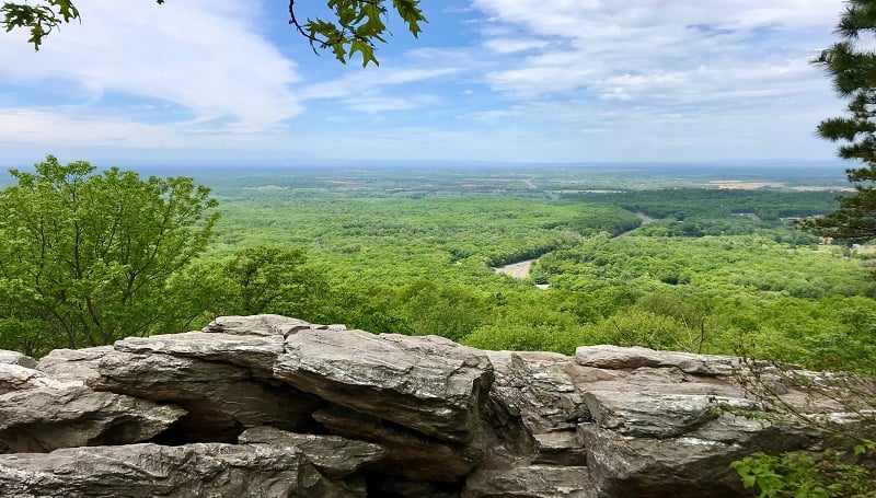
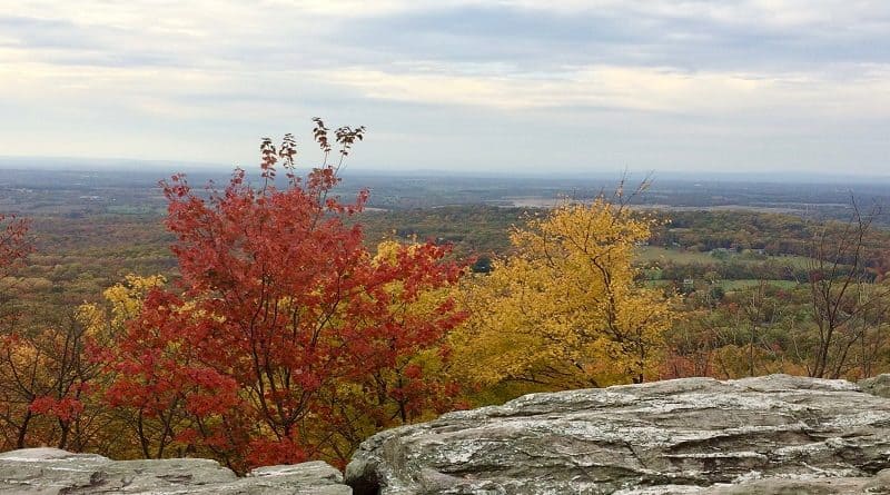
The popular Bears Den hike guides visitors along a scenic stretch of the white-blazed Appalachian Trail. A large rocky overlook ensures far-reaching views for all.
The hike begins from a parking lot on Route 7. The Bears Den lot sits in Snickers Gap, on the opposite side of Route 7 from the Raven Rocks hike.
While the lot is large, it can fill up very quickly. This is the start of the Roller Coaster, and from the lot your first steps are on a blue-blazed side trail.
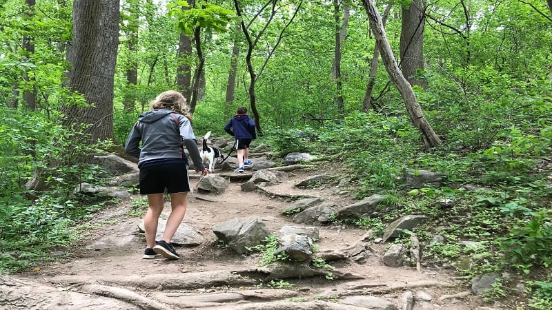
At the 0.3-mile mark, you reach the Appalachian Trail. From here, it’s a short walk to the scenic Bears Den Overlook that’s known spectacularly colorful sunsets.
The Bears Den hike is just 1.9 miles, but this easy out-and-back hike in Bluemont is well-worth your time. It’s also among the most kid-friendly hikes in Virginia.
At Bears Den, there is the Bears Den hostel, a primitive campground, a lodge for groups and a small store for the short-term resupply needs of hikers.
#2: Sam Moore Shelter Hike
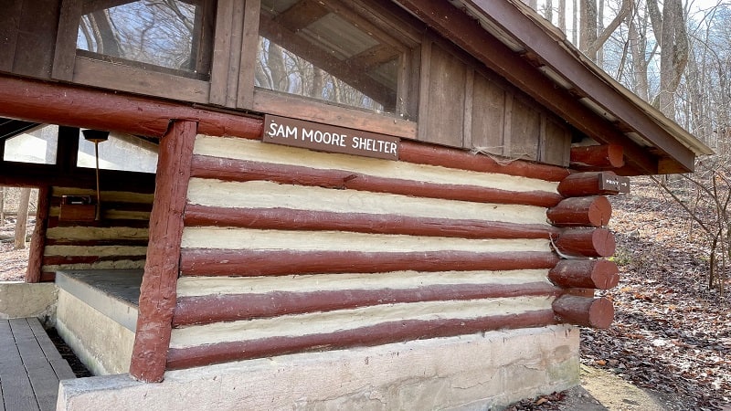
The Sam Moore Shelter hike shares a trailhead with the Bears Den hike, but once you pass the scenic overlook, get ready for ups and downs, ups and downs.
The Bears Den Overlook turns up at the 0.7-mile mark, and you’d be wise to take a break and enjoy the views before continuing on to the hikers shelter.
The views across the Shenandoah Valley and Blue Ridge Mountains are gorgeous. This is also a popular spot for late-day sunset-seekers.
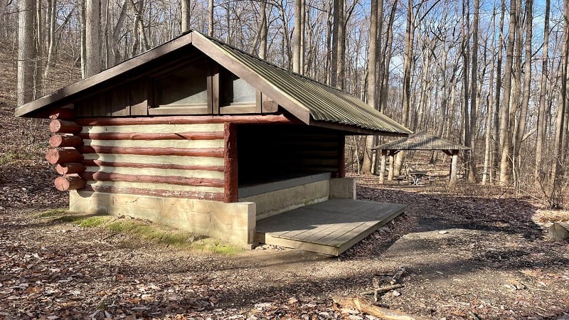
Get ready for more than 2,000 feet of elevation gain on this Roller Coaster hike to see the Sam Moore Shelter. It’s a very good workout. It’s tough, but not vicious.
Along this section of trail to the Sam Moore Shelter, you’ll encounter a small cascading waterfall, an easy water crossing and a primitive camp site.
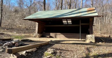
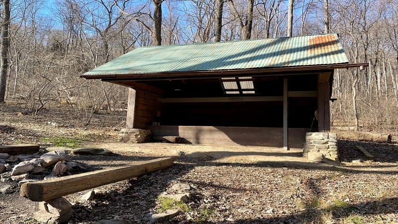
At the hikers shelter, you’ll see a covered picnic table and a small fire ring. This out-and-back hike clocks in at 7.7 miles.
#3: Hollow Brook Hike
This Appalachian Trail hike goes by several names (confusing, I know). On AllTrails, this moderate 3.5-mile out-and-back hike is referenced as Buzzard Hill.
On HikingUpward, this hike goes by Hollow Brook (sometimes, Hollow Brook Trail). These are both the exact same hike. It’s one I think you will really enjoy, too.
This undulating, wooded hike begins east of a parking area on Morgans Mill Road. Note that Morgans Mill Road is all gravel and is a fairly bumpy ride.
There are two sections of the Appalachian Trail that set off from this parking area. The Buzzard Hill hike runs on a northbound section (same side of road as parking).
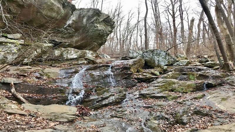
You will reach an easy water crossing in Reservoir Hollow at the 0.7-mile mark. A short spur trail on the right leads to a fun rock scramble and a small waterfall.
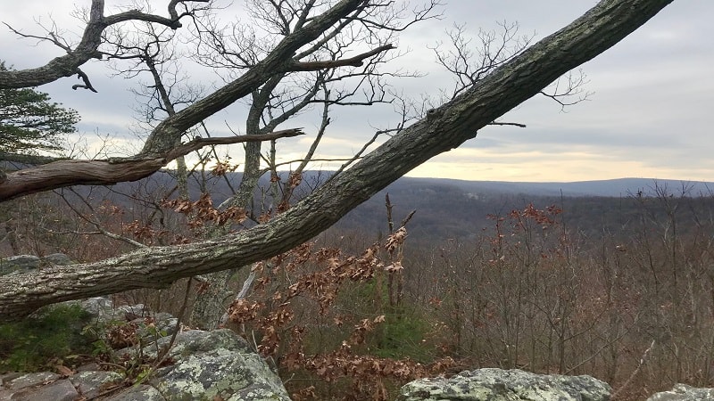
Arrive at west-facing views from atop Buzzard Hill (elevation 1,266 feet) at the 1.7-mile mark. Steps from the overlook, there is a camp site and stone fire ring.
#4: Rod Hollow Shelter Hike
From the parking area on Morgans Mill Road (see Hollow Brook hike above), you can also access a southbound section of the white-blazed Appalachian Trail.
This hike goes by several names, including the Ashby Hollow hike. However, I call this the Rod Hollow Shelter hike since that’s where this hike leads.
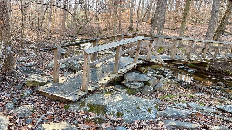
Expect plenty of ups and downs on this rocky hike, including a big descent as you begin this hike. Then, a wooden bridge over gently flowing Ashby Hollow
Along this fairly strenuous 7.8-mile out-and-back hike, you will encounter a couple of water crossings and a few small camp sites.
If you’re looking for solitude and serenity, as well as a good workout thanks to an nearly 2,200 feet of ascent, the Rod Hollow Shelter Hike is for you.
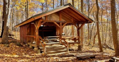
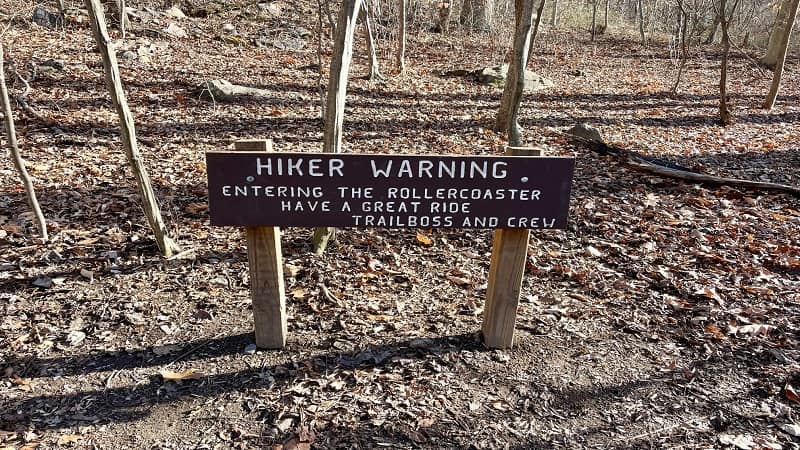
As a bonus, you’ll see the infamous “Hiker Warning” sign as you close in on the Rod Hollow Shelter. At the shelter, there is a covered picnic table and tent pads.
#5: Myron Glaser Cabin Hike
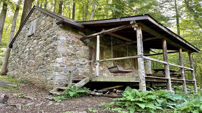
Myron Glaser Cabin is one of several dozen primitive Potomac Appalachian Trail Club (PATC) cabins for rent in Virginia, Maryland, West Virginia and Pennsylvania.
Most hike-in cabins, like Range View Cabin, can be rented by anyone. However, some cabins, like Myron Glaser Cabin, are for PATC members only.
Myron Glaser Cabin sits along the Appalachian Trail and can be rented for $40/night on weekdays and $55/night on weekends.
This 4.5-mile out-and-back hike begins from a small parking area off Blue Ridge Mountain Road, near Route 50. Note that the “Trailhead Parking” sign is very small.
You will begin by descending along a 0.1-mile stretch of blue-blazed trail until you reach the Appalachian Trail. Turn right to hike all the way to Myron Glaser Cabin.
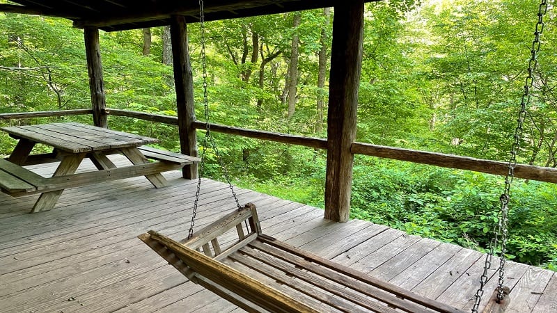
Cross two small streams before reaching a short spur trail to the primitive stone cabin at the 2.0-mile mark. There is a picnic table and wooden bench swing.
Hikes South of Route 50
At Route 50, you will leave Loudoun County and enter Fauquier County near Ashby Gap. You will also arrive at Sky Meadows State Park in Delaplane.
For those eager to continue southbound along the Appalachian Trail, here are a few great hikes at Sky Meadows that begin just south of Route 50 in Virginia.
#1: Old Trail Loop
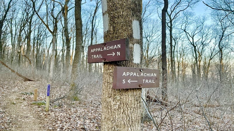
For this 5.1-mile loop hike, you can begin at Ashby Gap (on the north side of Route 50), but I found would suggest a start that does not require a major road crossing.
Park just outside the state park on Liberty Hill Lane. There is a small lot with room for six or seven cars. A bright-yellow boundary blaze marks the start of the hike.
This quiet, wooded hike includes both the white-blazed Appalachian Trail and purple-blazed Old Trail, a hiking trail that was a part of the AT from 1983 to 2004.
In 2004, the Appalachian Trail was re-routed to its current route through Sky Meadows State Park. Old Trail became a part of the state park trail system.
#2: Piedmont Overlook
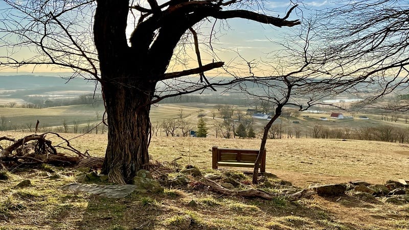
This 5.5-mile loop hike begins just west of the main parking area for Sky Meadows State Park. Start on green-blazed Boston Mill Road, which is left of the Park Office.
You’ll connect with the red-blazed Piedmont Overlook Trail. It’s a steady ascent, but you’ll be rewarded with views from Lower and Upper Piedmont Overlooks.
On the back side of the loop, you will take in views from Whitehouse Overlook, then connect with a southbound section of the Appalachian Trail.
Near the end of the hike, turn right at the sign that reads “Spur to George’s Overlook” for southeasterly views. Also, stop for the Snowden Manor Ruins Site.
#3: North Ridge-South Ridge Loop
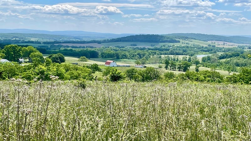
Let me start by noting that this Sky Meadows hiking trail does not touch the Appalachian Trail, but it is one of my favorite trails at this vista-filled state park.
The views on this 3.5-mile loop hike are first-rate. Plan to hike clockwise. I hiked counter-clockwise, but feel the clockwise views would have been superior.
Start from the main parking area for Sky Meadows State Park. Start on green-blazed Boston Mill Road, which is left of the Park Office.
Plan to ascend the yellow-blazed South Ridge Trail, then descend on the blue-blazed North Ridge Trail. On the way up, stop at the Snowden Manor Ruins Site.

Erin Gifford has completed more than 300 hikes in Virginia. She is also the author of three hiking guidebooks from Falcon Guides. Need help finding a hike? Check out the Trail Finder feature or send Erin an email at [email protected].

