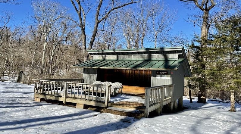
Appalachian Trail: Hike to the Jim & Molly Denton Shelter in Linden
It was a perfect day for a wooded hike along the Appalachian Trail on Wednesday. The sky was wildly blue, the snow was glistening in the sun, temps were in the 60’s.
It was such a tease though, too. The weather felt more like mid-April than late-February. Sadly, typical February weather is set to return, but April will be here soon.

This hike to the Jim & Molly Denton Shelter by way of Trumbo Hollow guides you along a quiet stretch of the Appalachian Trail. You may not even see another person.
I think you’ll find it’s a day well spent. Even better, you may be able to get in a game or two of horseshoes at the trail-side hiker shelter. Or, take a very, very cold shower.
| Trail Stats | |
|---|---|
| Length | 6.4 miles |
| Difficulty | Moderate |
| Trail Type | Out-and-Back |
| Elevation Gain | 1,398 feet |
| Duration | 3.5-4.5 hours |
| Terrain | Mostly dirt trails |
| Dog-Friendly | Yes |
| Fee | Free |
| Driving Directions | Click Here |
Arriving at the Trailhead
On State Route 55 (John Marshall Highway), the parking area is to the left of the trailhead. This area is large enough to accommodate maybe 6-10 vehicles.

The parking area is also on the left side of the road. Across State Route 55, there is another parking area of similar size. Be careful crossing the road to the trailhead.
State Route 55 is just two lanes, but cars can fly right past you. Keep your head on a swivel, friends.
The First Steps
Pass the green and white Appalachian Trail sign. You’ll then be walking alongside Goose Creek. Cross over wooden planks, which guide you over a wetland area.
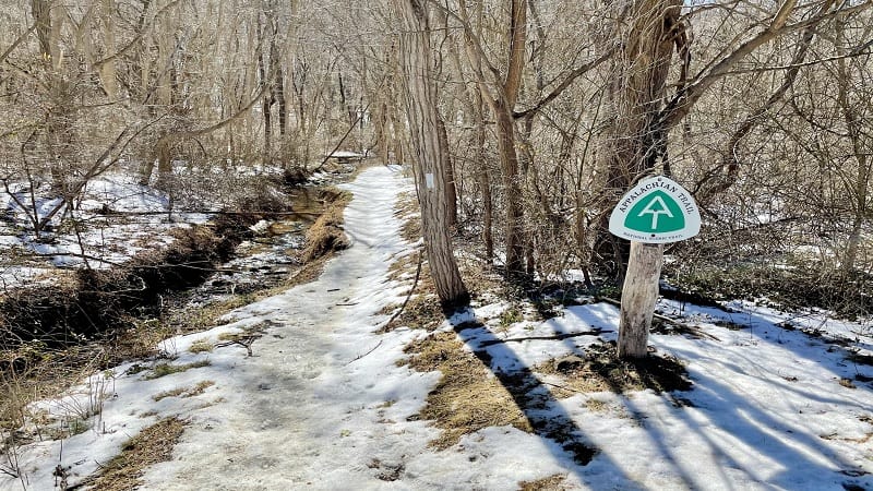
Given the snow, it was hard to see what was under the wooden planks. Beyond snow, of course. At the .1-mile mark, you will cross over a railroad crossing.
From here, the ascent begins along this white-blazed trail. I was beyond thrilled to have brought my microspikes. On this warm day, the melting snow was slippery.
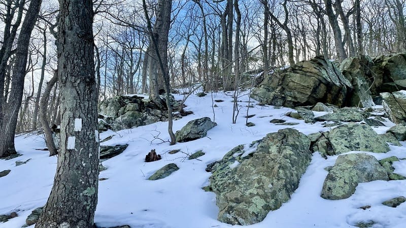
Several switchbacks in the trail lead you past very large rock formations. At the 1.2-mile mark, you will reach Trumbo Hollow, a wide-open grassy meadow.
In a few more steps, you’ll arrive at a wooden bench with both east- and west-facing views. After climbing more than 600 feet, this is a nice spot for a water break.
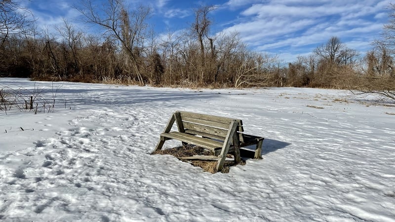
Once you proceed, you will re-enter the woods and descend until you reach Fiery Run Road (State Route 638). Walk left up the road until you see the AT sign.
Continue descending until you reach the low point at the 2.2-mile mark. You’ll reach an easy water crossing over stones set into gently-flowing Manassas Run.

You will ascend again along the wooded Appalachian Trail. By this point, you will not hear any cars motoring along nearby roads. It’s very peaceful and serene.
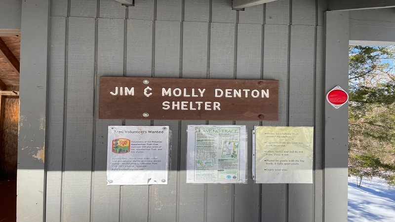
At the 3.2-mile mark, you will reach the Jim & Molly Denton Shelter. Look for a short spur trail that guides hikers to the shelter (which is kind of like an oasis).
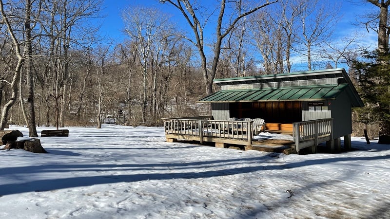
If you miss the first spur trail, there’s another one only a few steps further down the AT. It’s easy to see the shelter through the trees, especially in fall and winter.
I haven’t seen or stopped for many shelters along the Appalachian Trail, but my guess is that this is one of the nicest shelters along the nearly 2,200-mile hiking trail.
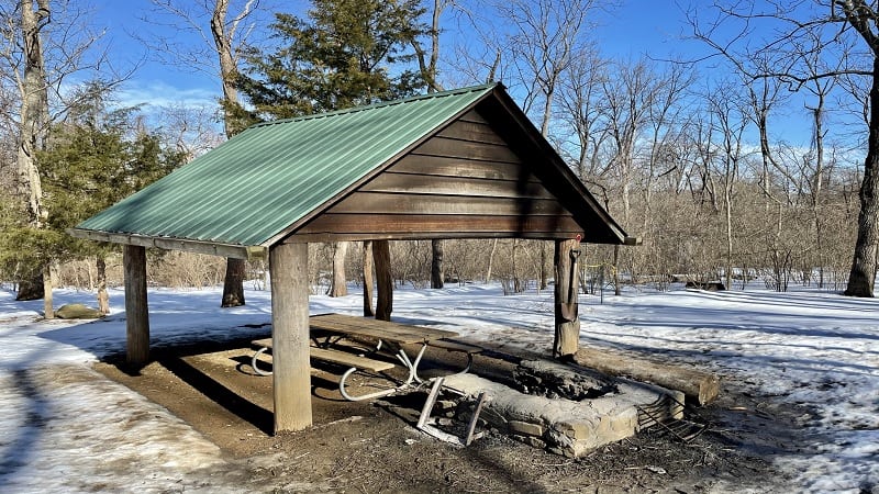
The three-walled shelter is pristine. There are bunks on either side to throw down your sleeping pad and sleeping bag. There’s even a broom and hand sanitizer.
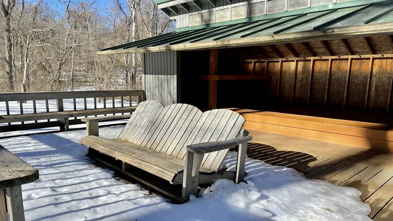
The shelter’s wooden deck wows with an Adirondack bench that’s wide enough for three people. There’s also a covered picnic table pavilion and a stone fire pit.

To the right of the shelter is an outdoor privy. On the left side of the shelter is a water source, a shower and maybe a spring. There’s even a game pit to play horseshoes.
There’s a lot of green space too to pitch a tent. This shelter was created by the Potomac Appalachian Trail Club (PATC) and was named for two active members.
From here, re-trace your steps to return to the parking area. Your hike is complete.
Wrap-Up Notes
This hike took a friend and I just over three hours to complete, including time spent lazing the unseasonably warm day away on the deck of the shelter
For more steps, consider the hike to the Manassas Gap Shelter. It’s a 4.9-mile hike that sets off north on the Appalachian Trail from the opposite side of State Route 55.
For a post-hike reward, it’s a four-minute drive to The Apple House in Linden. Here you’ll find warm apple butter cinnamon donuts and hand-dipped ice cream scoops.
Wander the gift shop for all kinds of Virginia-made products, like jellies, jams, hams, barbecue sauces and relishes. There are several PokeStops here, too.

Erin Gifford has completed more than 300 hikes in Virginia. She is also the author of three hiking guidebooks from Falcon Guides. Need help finding a hike? Check out the Trail Finder feature or send Erin an email at [email protected].

