Sugar Hollow Reservoir: Two Scenic Moormans River Trails (+ The Blue Hole) Near Charlottesville
The Sugar Hollow Reservoir near Charlottesville is known as the starting point for the hike to the Blue Hole, a much-loved swimming hole in Virginia.
It’s not easy to find the Blue Hole. There is no Sugar Hollow Trail and no Blue Hole hike listed in AllTrails. Seriously, how do people find this elusive Blue Hole?
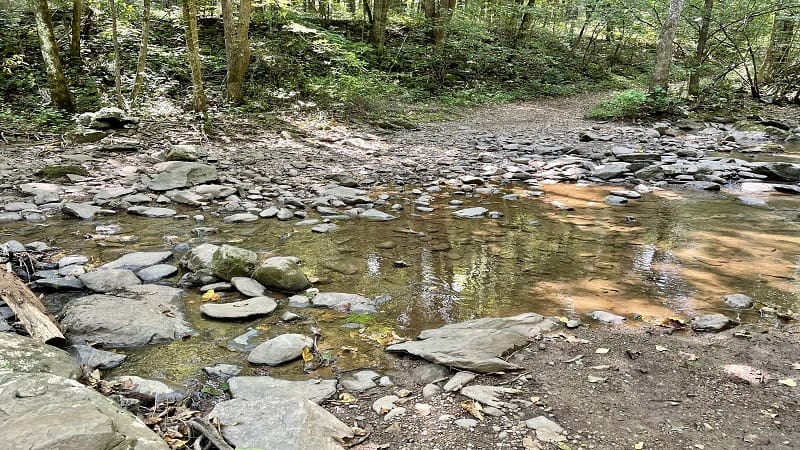
So, when a Sugar Hollow hike popped up on MeetUp, I jumped on the opportunity. I woke up early, hit the trail, then found out this was not the hike to Blue Hole.
There are two hikes that set off from the Sugar Hollow parking area. In this post, I’ll share which is which and how to get to the Blue Hole (eventually I did make it).
Sugar Hollow Parking Area
I usually rely on AllTrails for directions. In this case, it’s not possible, but on Google Maps and Apple Maps you can map to “Sugar Hollow Trail to Blue Hole.”
The address is 6796 Sugar Hollow Road in Crozet. I was instructed by the hike leader to map to Stinson Vineyards (4744 Sugar Hollow Road).
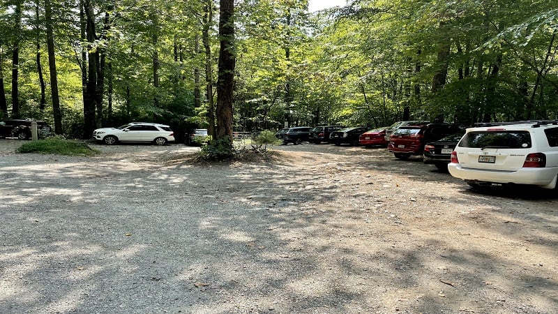
The leader noted to simply drive past the winery. That worked too. The parking area at 6796 Sugar Hollow Road is five miles past Stinson Vineyards.
The parking area is not large. There’s room for maybe two dozen cars on a gravel surface, but this lot can get crazy with cars parking every which way to get a spot.
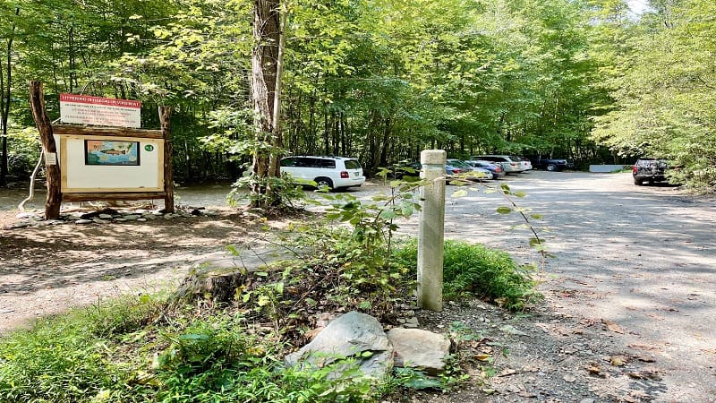
The lot is at the very end of Sugar Hollow Road. You can’t miss it. The road just ends at the gravel parking area in Albemarle County.
As a quick side note, I was alerted by a reader that Google Maps and Apple Maps may not map to this address the same way. Just drive all the way to the end.
On your way, you’ll see peeks of the 47-acre Sugar Hollow Reservoir on the Moormans River. The reservoir is only for fishing. No swimming or boats.
Hike #1: Sugar Hollow to Blue Hole
I did the two Sugar Hollow hikes on the same day. The parking area near the dam is 2.5 hours from my home, so I wanted to tackle both while in the area.
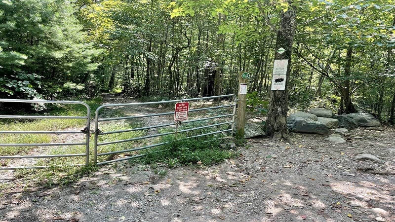
There is no signage for either hike. There is no sign with a trail name and certainly no sign indicating which way to go for the Blue Hole. Eek.
Both hikes begin at a gate, but to get to Blue Hole, start at the silver gate on the east side of the parking area. This is the side closest to the entrance.
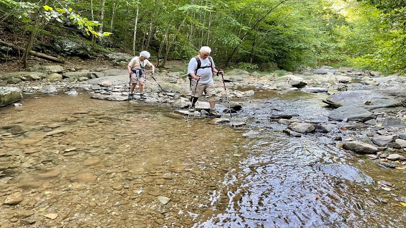
From here, walk around the gate then cross over the North Fork Moormans River at the .1-mile mark. Plenty of rocks make the few river crossings a piece of cake.
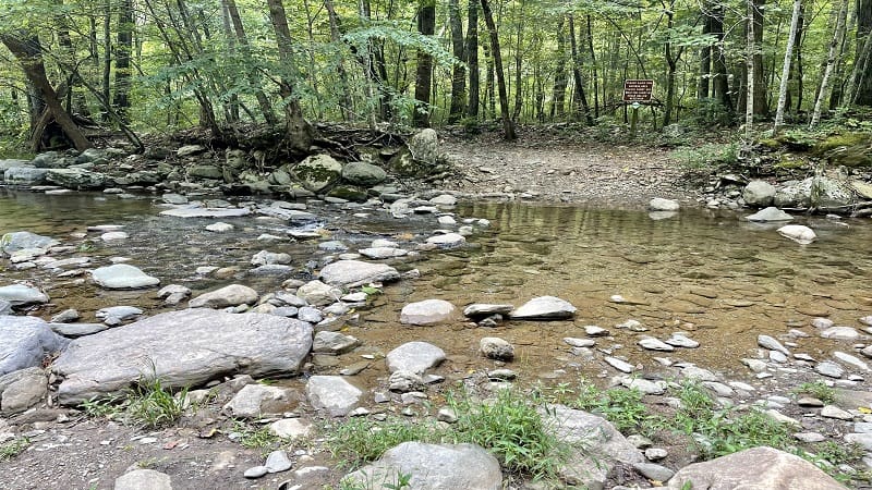
As far as I can tell (at least from AllTrails) you are walking along a horse trail called South Fork Moormans River Road. It’s simply a wide, forested trail.
You’ll cross over the South Fork Moormans River at the .8-mile mark. Slowly, you’ll make your way along this trail until you reach the Blue Hole at the 1.5-mile mark.
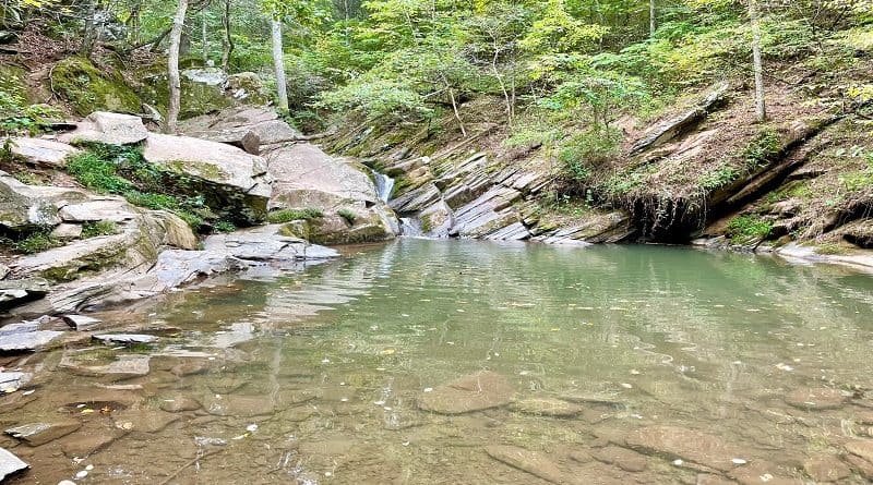
It’s not blue like you might expect, but it is a rather large swimming hole. The Blue Hole turns up on the right. From the trail, you’ll look down at the hole.
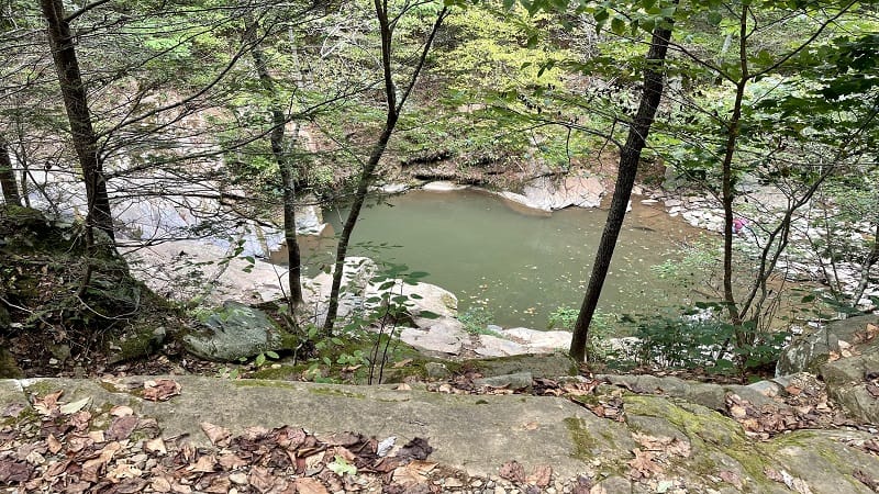
It’s easy to scramble down to the water to jump on in. A small cascading waterfall fills the basin and is especially cooling in summer.
On the way to the Blue Hole, you may notice another swimming hole at the 1.4-mile mark. It’s smaller but equally refreshing. It can be less crowded, too.
Once you’ve gotten your fill at the Blue Hole, re-trace your steps to the parking lot to complete the 3.0-mile out-and-back hike with an elevation gain of 404 feet.
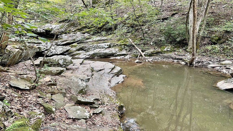
Note that if you continued along this trail, you would reach the Turk Branch Trail. This trail meanders along another two miles until it reaches Skyline Drive.
Hike #2: Sugar Hollow to Big Branch Falls
The second hike that originates from the Sugar Hollow parking area guides hikers north along the North Fork Moormans River Trail.
The trailhead is located on the west side of the parking area at a red gate. Simply walk around the gate to begin ascending along this hiking trail.
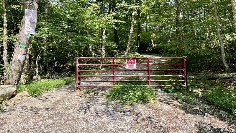
This 4.6-mile out-and-back hike leads to Big Branch Falls. There are a few easy river crossings on this trail on the eastern edge of Shenandoah National Park.
This Sugar Hollow hike begins simply enough as a shady hike in the woods. At the .4-mile mark, you will reach a trail kiosk on the Moormans River.
Continue on and you will arrive at your first water crossing at the .7-mile mark. The crossing is wide but there are plenty of stones that make it easy to cross.
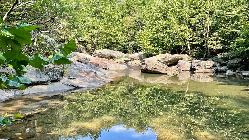
At the .8-mile mark, you’ll reach your second opportunity to cross over the North Fork of the Moormans River. This crossing is especially scenic.
You’ll cross one more time at the 1.5-mile mark. Then you will see a small cascading waterfall with nice views at the 2.2-mile mark.
In a few more steps, you will bear left and step off the trail onto a blue-blazed spur trail for Big Branch Falls. There’s a falls and a watering hole.
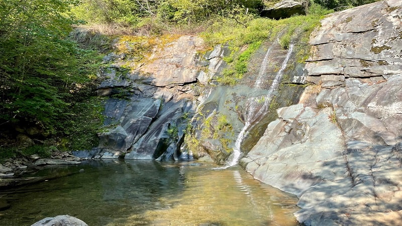
There are lots of large rocks to settle down on to take in the views or to set your gear down to enjoy a splash in the swimming hole at the 2.3-mile mark.
From here, re-trace your steps along the North Fork Mormans Trail for a 4.6-mile out-and-back hike with a 498 foot elevation gain.
Wrap-Up Notes
These two Sugar Hollow hikes are both fantastic in their own ways. The hike to Blue Hole is 3.0 miles and the swimming hole is the main attraction.
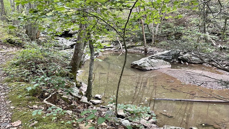
It’s a pretty basic, forested hike to reach the swimming hole, though you will cross over the South Fork Moormans River once on your way to Blue Hole.
The Sugar Hollow hike on the North Fork Moormans River Trail is 4.6-miles, but closely follows the water, so there is more to see on the way to Big Branch Falls.
Of the two hikes, I thought the hike to Big Branch Falls was more scenic. While the Blue Hole is a cool draw, I would choose Big Branch Falls if I could only do one.
While Sugar Hollow Reservoir is open, it’s too bad there is no hiking around the the reservoir or the dam. Oh well, at least there is good fishing.
Got another hike in you? I’ve got a lot more Shenandoah National Park hikes, as well as some of the best hikes near Charlottesville, like Humpback Rocks.

Erin Gifford has completed more than 300 hikes in Virginia. She is also the author of three hiking guidebooks from Falcon Guides. Need help finding a hike? Check out the Trail Finder feature or send Erin an email at [email protected].

