Blackrock Summit: An Easy Hike to Big Views at Shenandoah National Park
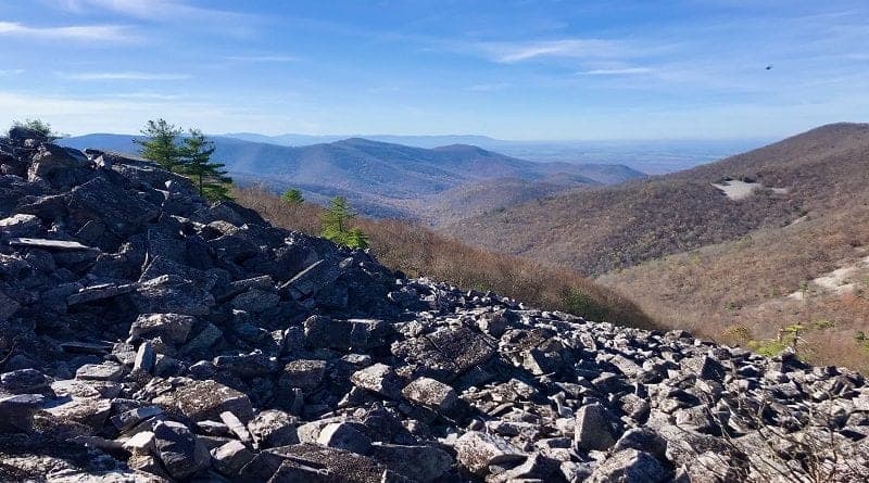
The 1.8-mile Blackrock Summit loop hike is easy to love. It’s also a plain easy hike and one that wows with a massive field of black rocks and panoramic views.
Located in the South District of Shenandoah National Park, Blackrock Summit is one of several hikes that are a few short miles apart on Skyline Drive.
On the day I hiked to Blackrock Summit, I started with Turk Mountain (2.5 miles), then checked off Calvary & Chimney Rocks (3.2 miles).
Blackrock Summit was my final hike, and if you have time, I highly recommend add-ons that include Trayfoot Mountain or Furnace Mountain.
| Trail Stats | |
|---|---|
| Length | 1.8 miles |
| Difficulty | Easy |
| Trail Type | Loop |
| Elevation Gain | 361 feet |
| Duration | 1-1.5 hours |
| Terrain | Mostly dirt trails |
| Dog-Friendly | Yes |
| Fee | $30 per vehicle (good for seven days) |
| Driving Directions | Click Here |
Blackrock Summit Hike
The Blackrock Summit parking area at milepost 84.4 is large and can fit more than a dozen cars. That’s good since this is a popular destination in the park.
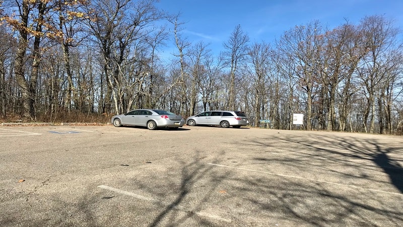
The informational sign in the lot suggests two hikes, including a short and sweet 1.0-mile round trip hike to huge boulders and great views at Blackrock Summit.
The second hike adds steps on the Trayfoot Mountain Trail. This ups the elevation and mileage, but not by much. This alternative loop option tops out at 1.8 miles.
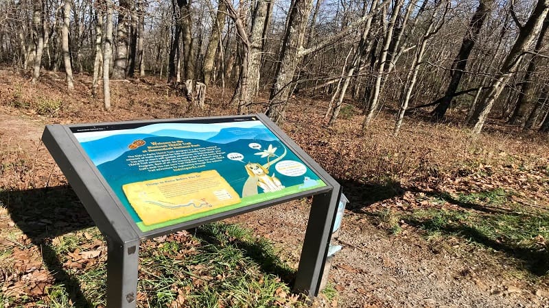
This is a great hike for kids. If you are hiking with small children, look to the left of the kiosk for the TRACK Trails display from Kids in Parks.
Blackrock Summit is one of three easy hikes in Shenandoah National Park with an adventure component. The other two are Limberlost Trail and Fox Hollow Trail.
Print out the self-guided brochure ahead of time. For this hike, kids will choose trail names, examine animal habitats and write a poem about the hike.
The adventure brochure includes a trail map for the 1.0-mile loop hike, which follows the Appalachian Trail and Blackrock Hut Road-Trayfoot Mountain Trail.
Appalachian Trail
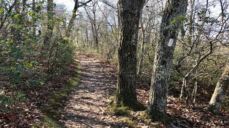
From the trailhead, you will pick up the southbound Appalachian Trail almost immediately. Turn left to begin a mild ascent along the trail.
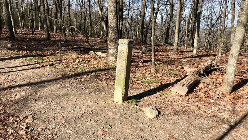
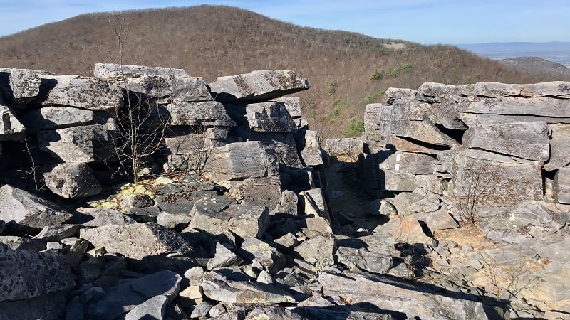
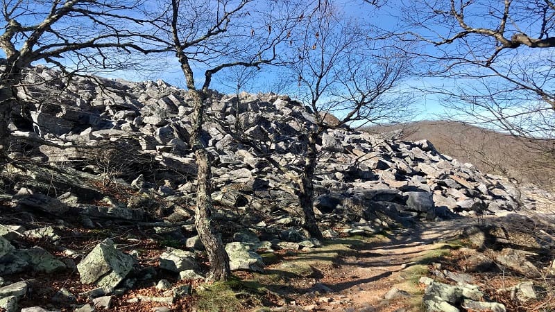
Near the 0.2-mile mark, stay to the right for the white-blazed AT. A rocky talus slope (a massive sloping field of large rocks) appears at the 0.5-mile mark.
You have arrived at Blackrock Summit. A mostly flat path hugs the mountain, enabling you to savor the views without a rock scramble.
Treat yourself to wide-reaching views across the Shenandoah Valley and Massanutten Mountain. On a clear day, the scenic vistas are sensational.
For the 1.0-mile hike, continue along the Appalachian Trail until you reach the Blackfoot Hut Road-Trayfoot Mountain Trail. Turn left to return to your car.
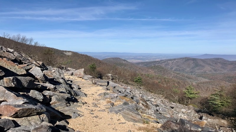
For the 1.8-mile hike, turn right at the trail marker near the 0.6-mile mark onto a short spur trail through a boulder field that leads to the Trayfoot Mountain Trail.
Trayfoot Mountain Trail
I think you’ll agree that the views, which now include Trayfoot Mountain, are even more spectacular than those at Blackrock Summit.
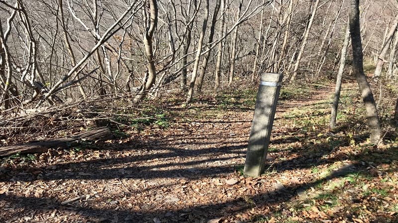
At the 0.8-mile mark, turn left onto the Trayfoot Mountain Trail. Heads up as there are a couple of massive downed trees (but also ways to get around them).
When this trail meets the AT at the 1.2-mile mark, it becomes the Blackfoot Hut Road-Trayfoot Mountain Trail. Continue on this trail to return to the parking lot.
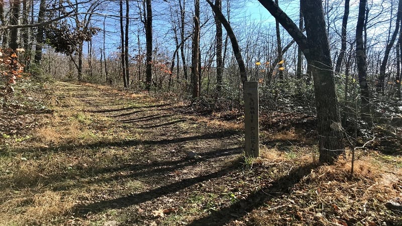
For a second pass across the summit of Blackrock, turn left onto the Appalachian Trail for big rocks and booming views in another 0.1-mile.
From here, re-trace your steps the short distance along the AT to the beginning of the trail. Hopefully you snapped lots of gram-worthy photos on this hike.
Wrap-Up Notes
The 1.8-mile loop hike took me just over 45 minutes to complete, including time spent ogling the glorious mountain and valley vistas.
In my opinion, the Blackrock Summit hike is one of the best short hikes at Shenandoah National Park. Maybe even the best short hike.
For this hike, the closest entrance is the Rockfish Gap entrance near Waynesboro. This is where the Blue Ridge Parkway meets Skyline Drive.
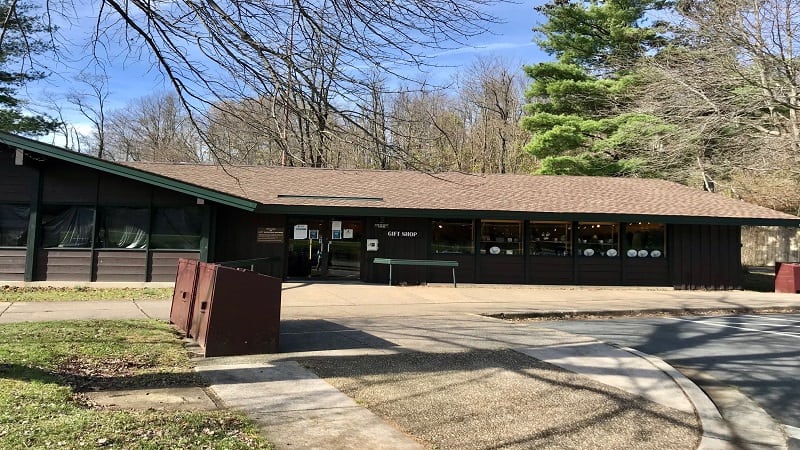
Loft Mountain Wayside is five miles north on Skyline Drive. This a good place to stop for drinks, snacks, a gift shop and restrooms. Also, a picnic table or two.

Erin Gifford has completed more than 300 hikes in Virginia. She is also the author of three hiking guidebooks from Falcon Guides. Need help finding a hike? Check out the Trail Finder feature or send Erin an email at [email protected].

