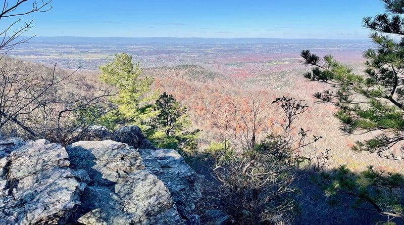
Riprap Trail: A Stunning Shenandoah Loop Hike
Hike the Riprap Trail, the Appalachian Trail and the Wildcat Ridge Trail for a rewarding 9.8-mile circuit hike at Shenandoah National Park.
This hike is strenuous, with 2,073 feet of elevation gain, but this hike has a lot to offer, including water crossings, scenic views, even a nice swimming hole.
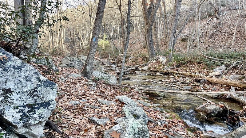
There’s also a small waterfall, as well as several streams, including Cold Spring Hollow and Riprap Hollow. The vistas from Chimney Rock are fantastic.
For this hike, start at the Riprap Trail parking area, then hike clockwise. This is the opposite direction from the park’s recommendation, but trust me on this one.
| Trail Stats | |
|---|---|
| Length | 9.8 miles |
| Difficulty | Strenuous |
| Trail Type | Loop |
| Elevation Gain | 2,073 feet |
| Duration | 4.5-6 hours |
| Terrain | Mostly rock & dirt trails |
| Dog-Friendly | Yes |
| Fee | $30 per vehicle (good for seven days) |
| Driving Directions | Click Here |
Riprap Loop: Suggested Route
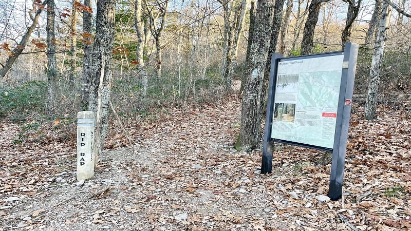
From the Riprap Trail parking area at milepost 90 you’ll see a large trail kiosk. The suggested route for the Riprap Loop guides hikers on a counter-clockwise hike.
A clockwise loop with a start at the Riprap parking area is better for two reasons. One, you’ll get the ho-hum part of the hike out of the way early.
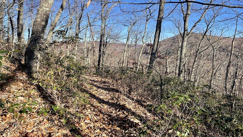
The most boring part of the hike is the 2.7-mile section on the Appalachian Trail. It’s relatively flat, but there is absolutely nothing to see.
This section runs parallel to Skyline Drive from the Riprap Trail parking area to the Wildcat Ridge parking area.
Two, you can descend the steep (and not especially scenic) Wildcat Ridge Trail rather than ascend as you would on a counter-clockwise hike.
Of course, there is an ascent on the clockwise loop that comes later on the Riprap Trail, but the views are superior, especially in late-fall and winter.
Appalachian Trail
From the Riprap Trail parking area, your first few steps are on a blue-blazed spur trail that leads to the white-blazed Appalachian Trail.
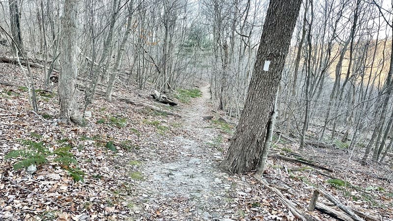
At the trail marker, turn left for the southbound Appalachian Trail. From here, it’s a 2.7-mile hike to reach the Wildcat Ridge Trail.
I enjoyed some nice views through the trees since all the leaves had fallen, but otherwise there would have been nothing to see. Just leafy forest.
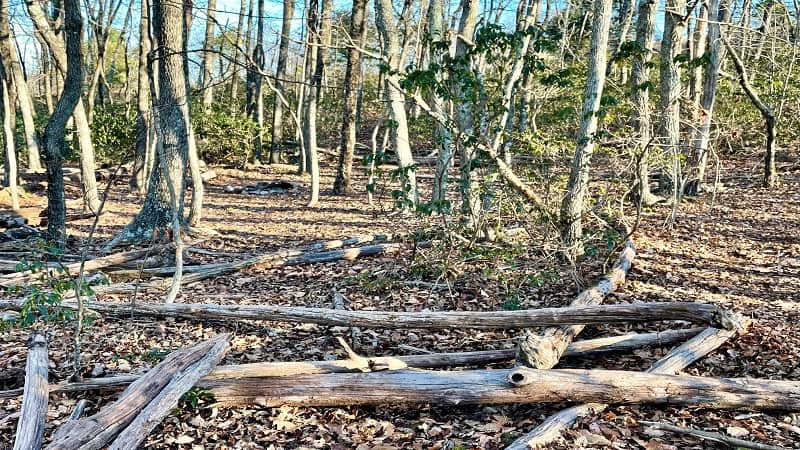
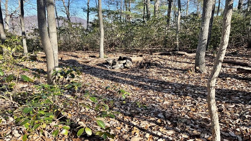
At the 2.2-mile mark, there is a primitive camp site with a stone fire ring just to the left of the hiking trail.
You’ll pass under the Riprap Overlook on Skyline Drive, but there are no views. At least not for hikers. I couldn’t even see the overlook from the trail.
Wildcat Ridge Trail
You’ll reach the concrete trail marker for the Wildcat Ridge Trail at the 2.7-mile mark. Turn right here onto this blue-blazed hiking trail.
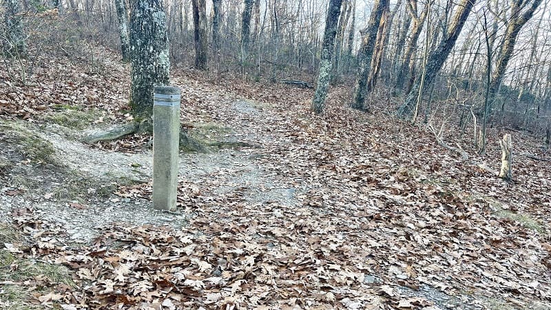
This trail is very steep and is covered with lots of leaves (at least it was in late-November). The Wildcat Ridge Trail is better known for its stream crossings.
You won’t reach the first stream crossing until the 4.8-mile mark on this loop hike. The first crossing is okay, but the next few are more impressive.
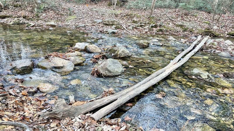
The crossing at Riprap Creek wows hikers with two narrow logs that are used to cross over the water (one foot for each log).
Riprap Trail
At the 5.3-mile mark – just past the Riprap Creek crossing – you’ll reach the blue-blazed Riprap Trail. Turn right at this junction and the ascent begins.
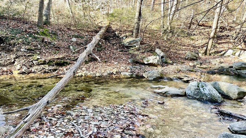
For the next mile, the hike follows Riprap Creek closely through Riprap Hollow. There are more crossings too, including a tricky one at the 6.0-mile mark.
This particular crossing requires you to shimmy across a diagonally-placed log or hopscotch across a few ill-placed exposed rocks. I paused for a few minutes.
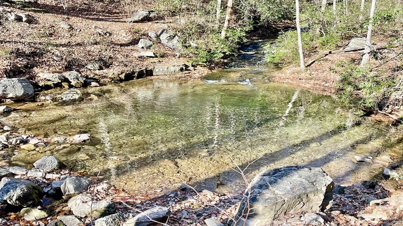
Eventually I opted for the rocks after a near failed attempt to cross on the log. Then, a good-size swimming hole appears, as if out of thin air. Beautiful.
At the 6.4-mile mark, you’ll have your last moments with Riprap Creek as you savor gorgeous cascades and a small falls over square-shaped rocks.
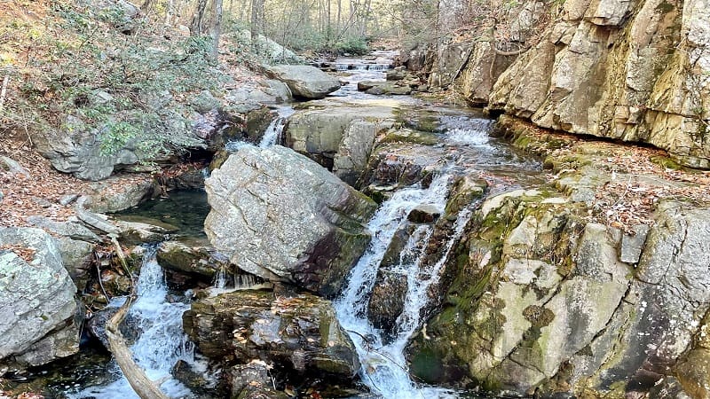
For the next mile or so, it’s a constant uphill climb. It may feel like you’ll never reach Chimney Rock. But then, a sweet reward.
At the 7.7-mile mark, you’ll reach the first of several wide-open views from the trail that wow with spectacular mountain vistas.
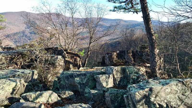
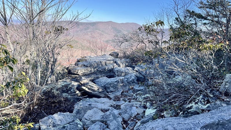
You arrive at Chimney Rock at the 8.1-mile mark. Take in the mountain views and lots of nice rocky viewpoints.
As you continue on you’ll pass a primitive camp site with a stone fire ring on the left. Then, Calvary Rocks appears at the 8.3-mile mark.
It’s like a curious wonderland of gigantic rocks. You can even scramble to the top of some of the rocks and rock walls for wide-open vistas.
In a few more steps, you’ll reach rock formations with lots of great views. This is the final overlook for this hike, so savor the amazing views.
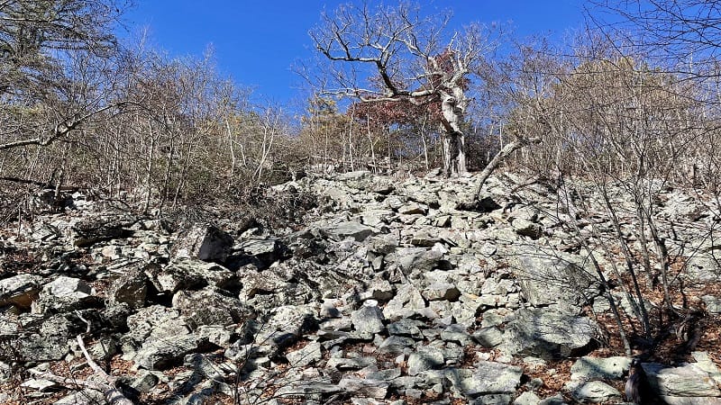
Continue on and you’ll pass through a talus slope (essentially, a huge rock slide). There are lots and lots of rocks, as well as a clear path to pass through.
You’re now just over a mile to the end of the loop trail. Thankfully, this section of the hike is either flat or downhill, too.
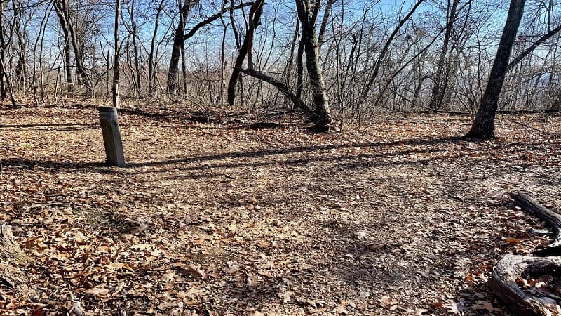
At the 9.3-mile mark, you’ll reach a concrete trail marker. Turn right for the southbound Appalachian Trail. You’re really in the home stretch now.
Turn left at the trail marker at the 9.8-mile mark to return to the parking area. You are done. Celebrate your success.
Wrap-Up Notes
From the Riprap parking lot, this loop hike took me just over four hours, including time spent ogling mountain views and crossing gentle streams.
It’s one of the best circuit hikes in the park, and one that will leave you feeling accomplished, especially if you have a cold start on a day in the mid-20s.
However, you warm up quickly thanks to the elevation gain. Be sure to wear proper base layers as not to get cold once you start sweating.
It’s a short 35-minute drive to Waynesboro for burgers and barbecue. You’ve earned it after tackling this tiring circuit hike in the Shenandoah Valley.
Eager for more? Check out my favorite hikes near Staunton and hikes near Waynesboro, as well as top Skyline Drive hikes at Shenandoah National Park.

Erin Gifford has completed more than 300 hikes in Virginia. She is also the author of three hiking guidebooks from Falcon Guides. Need help finding a hike? Check out the Trail Finder feature or send Erin an email at [email protected].

