Hike to Great Falls Overlook from Riverbend Park
There are more than 10 miles of walking trails at Riverbend Park in Great Falls, Virginia, yet the most popular trail leads visitors out of the park.
This 3.9-mile out-and-back hike gently guides park-goers along the Potomac River before depositing them next door at Great Falls Park.
The dramatic, tumbling falls at Great Falls Park have long been a natural spectacle worthy of packing a picnic lunch and making the drive for the day.
Of course, there are plenty of trails at Great Falls Park, but starting at Riverbend Park allows hikers scenic up-river views.
| Trail Stats | |
|---|---|
| Length | 3.9 miles |
| Difficulty | Easy |
| Trail Type | Out-and-Back |
| Elevation Gain | 82 feet |
| Duration | 1.5-2.5 hours |
| Terrain | Mostly dirt & rock trails, some easy rock scramble |
| Dog-Friendly | Yes |
| Fee | Free |
| Driving Directions | Click Here |
Arriving at the Trailhead
Getting to the trailhead can be a challenge, particularly on fair-weather weekends. There are two fairly large parking areas within Riverbend Park, but they can fill up very quickly.
If both are full, you will need to park across the street from the park within a neighborhood (it’s legal).
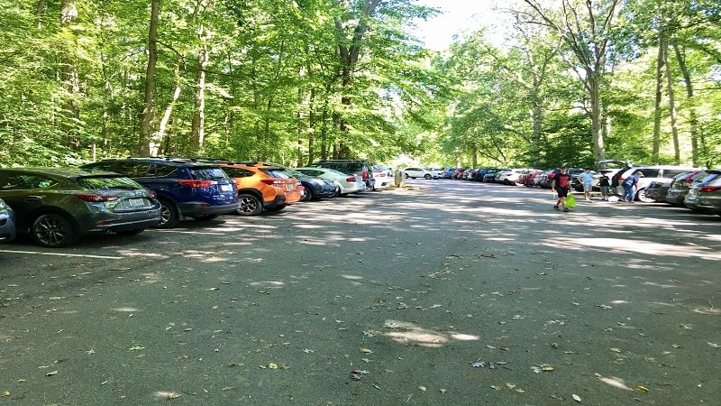
From the neighborhood, it’s a 15-minute walk – about .75-mile – to the trailhead, which is at the back of the south parking area (the one closest to the river).
Alternatively, if you wish to wait for a spot, park staff allow vehicles in the park on a one out, one in basis.
The First Steps
The wide hiking trail is easy to find at the back of the parking area. If you see blue blazes and the river is on your left, then you’ve found the hiking trail.
Continue walking along this mostly dirt trail and savor the views. These first steps are along the Potomac Heritage National Scenic Trail.
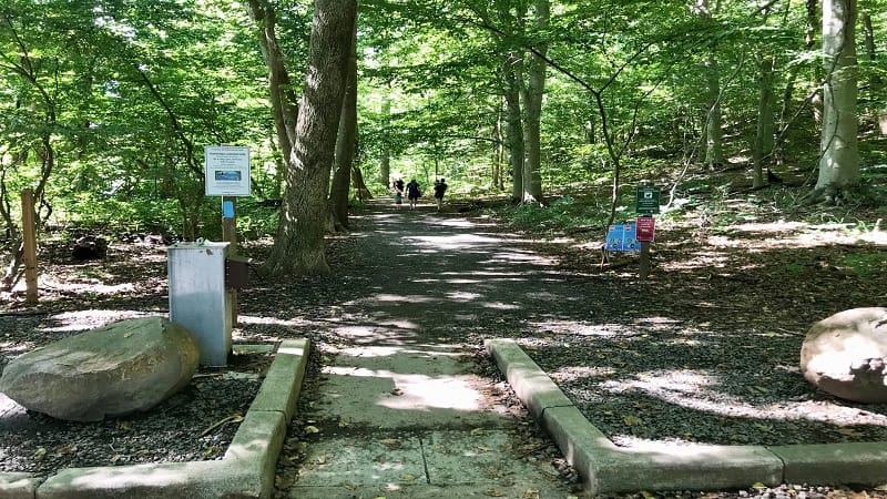
This is one section of a national scenic trail network that incorporates more than 710 miles of existing and planned trails in Maryland, Virginia, Pennsylvania and Washington, DC.
As you walk, the trail will change names once or twice (depending on which way you go), but as long as you follow along the river, you’ll manage just fine.
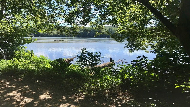
At the .25-mile mark, you’ll see a relaxing bench on the right-hand side of the trail with calming river views. You’ll see another bench at the .3-mile mark on the left-hand side.
These are delightful spots to stop to take a break and enjoy the scenery on sunny days. In a few steps more, you’ll see a trail lead up the hill to the right.
This is the 2-mile Follow the Hollows loop trail that leads to the visitor center. You’ll see a couple of picnic tables on the left, but continue straight on the Potomac Heritage Trail.
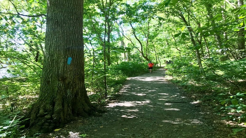
Near the .5-mile mark, look for a small rock scramble, then the trail narrows until nearly the end of the hike. At the .75-mile mark you’ll cross a wooden bridge.
Then, your ears may perk up after a few steps more. It’s here that you begin to hear the sounds of the rushing waters.
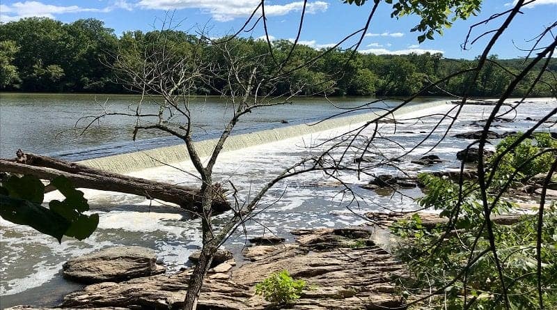
Walk out onto some rocks just off the trail before you reach the gorgeous waterfalls of the Washington Aqueduct Dam, which is just up-river from Great Falls.
Once you navigate another small rock scramble, you’ll want to clamber out onto the rocks for better views.

Near the .95-mile mark, you will exit Riverbend Park (a Fairfax County-managed park) and enter Great Falls Park (a National Park Service-managed park).
The terrain immediately changes as the trail is now extremely rocky. It’s almost as if the rocks are meant to deter you from continuing on, but press on, friends.
At this point, the trail is adjacent to the riverbank, so you can walk right up to toss stones in or let your dog get in a refreshing swim.
Interestingly, the trail name also changes from the Potomac Heritage Trail to the North River Trail. It’s going to change again in .1-mile, so don’t blink or you will miss the change.
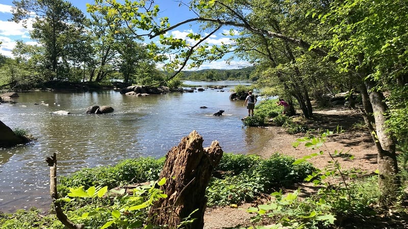
In a few more steps, the trail splits in two. You may wonder which trail to choose, but it doesn’t matter. The trail on the right dead-ends at the far parking lot for Great Falls Park.
From here, a short spur trail leads you to the trail you did not choose (well, the one that we didn’t choose). It’s the Patowmack Canal Trail and it leads you to the Great Falls overlooks.
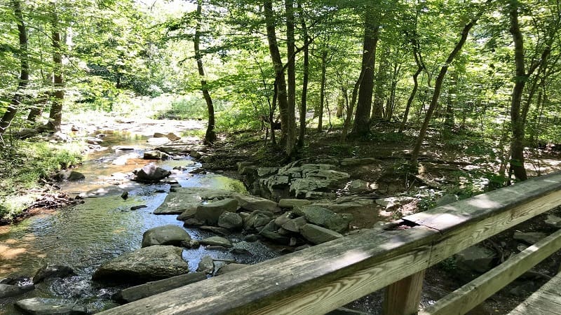
As you get closer to Great Falls, you’ll walk alongside a burbling stream, then at the 1.45-mile mark a wooden bridge guides you over this relaxing water feature.
At the 1.65-mile mark, you reach the Great Falls Visitor Center (which unfortunately is closed at this time).
From here, continue on to the three dramatic overlooks. All three are worth exploring, offering different views of the falls.
I started with the third overlook, which has two viewing platforms and a very cool flood pole indicating high water marks from years past.
Often – especially on weekends – you will see colorful kayaks and adventurous kayakers navigating the rapids down below.
I personally found the most exciting overlook for kayaker-watching to be the first overlook. Here you can watch them paddle very narrow waterways.
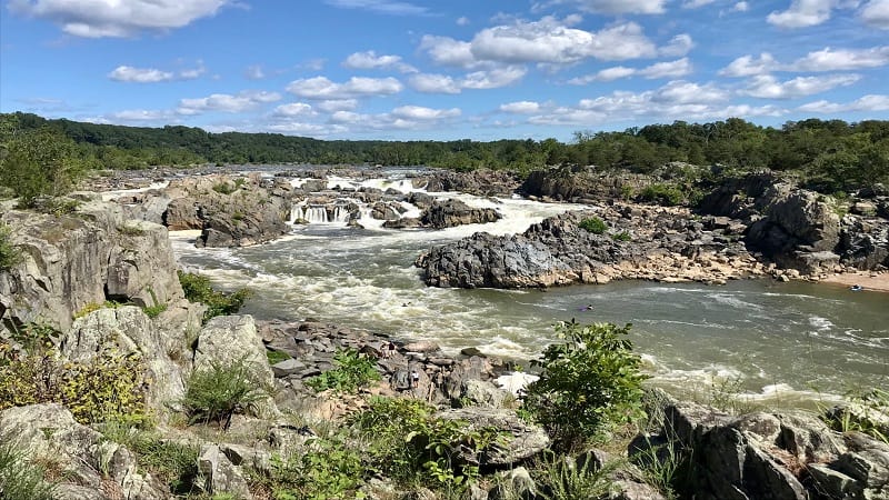
From the third overlook, you’ll re-trace your steps to Riverbend Park.
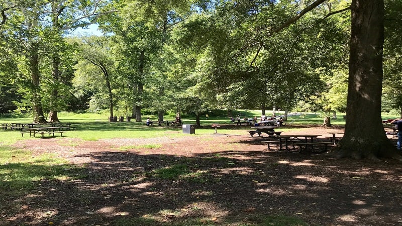
If you arrive at lunch, there is a large green space and plenty of picnic tables adjacent to the overlooks. On weekends, you may find a food truck, too.
Hike Options
For a longer hike, walk past the third overlook at Great Falls Park to pick up the River Trail. From here, you can continue hiking alongside the Potomac River.
This will create a two-mile mini loop with plenty of forest and water views before returning to Riverbend Park.

For a shorter hike, savor the waterfall views at the Washington Aqueduct Dam, then re-trace your steps to the parking lot for a refreshing 1.8-mile out-and-back hike.
Wrap-Up Notes
From the parking area, this hike took us 1 hour, 35 minutes to complete. There is plenty to explore at both parks and lots of picnic tables, so no need to rush.
It’s worth noting that if you decide to do this hike in reverse, starting at Great Falls Park, the Great Falls entrance fee is $20 per vehicle.
On busy days, the park may also shut down the entrance when the lot is full. There are restrooms adjacent to the visitor center at both parks.
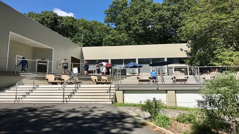
At Riverbend Park, look for comfy Adirondack chairs on the second story that may beckon you to come to sit for a spell. At this park, you’ll also find kayak and canoe rentals.
One last side note, while we did this hike the day after a rain, we did not find any part of this trail to be especially muddy or impassable despite being at river level.
Certainly there were puddles and muddy patches, but it was easy to walk around each one.
Eager to take on more Northern Virginia hikes? I’ve got you covered. Just visit the right sidebar for hikes by region, including all-level hikes in Northern Virginia.

Erin Gifford has completed more than 300 hikes in Virginia. She is also the author of three hiking guidebooks from Falcon Guides. Need help finding a hike? Check out the Trail Finder feature or send Erin an email at [email protected].

