Bottom Creek Gorge Preserve: Hike to One of Virginia’s Tallest Waterfalls
Bottom Creek Gorge Preserve is a 1,657-acre nature preserve in Montgomery County that has four hiking trails and Virginia’s second highest waterfall.
I cobbled together three of the trails to create a scenic 4.0-mile hike that includes an overlook for Bent Mountain Falls, a flowing creek and a pond.
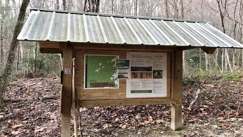
The three main hiking trails each have two names. The trails are Blue (DuVal Trail), Red (Johnston Trail) and Yellow (Knight Trail).
There is also a 0.6-mile Black Trail that’s known simply as the Entrance Road. It’s a wide, dirt and rock trail that leads to all three of the primary trailheads.
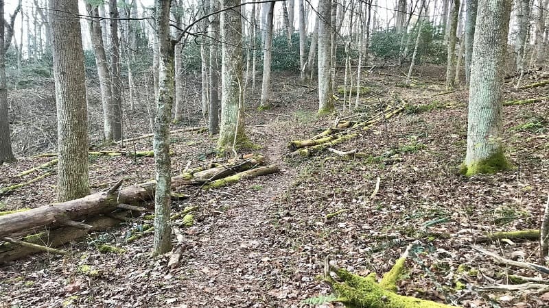
Given the longest trail is just 1.5-miles (one-way), you could plausibly hike every trail at this nature preserve in one hiking trip, if you like.
| Trail Stats | |
|---|---|
| Length | 4.0 miles |
| Difficulty | Easy |
| Trail Type | Lollipop |
| Elevation Gain | 843 feet |
| Duration | 2-3 hours |
| Terrain | dirt and rock trails, some gravel trail |
| Dog-Friendly | No |
| Fee | Free |
| Driving Directions | Click Here |
Bottom Creek Gorge Preserve
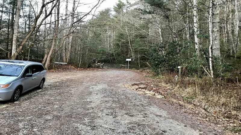
When you first arrive, you’ll quickly realize there is no parking lot. The gravelly road dead-ends at the trail kiosk. It’s easy to park parallel on the road sides.
From here, walk around the iron gate to the trail kiosk. Note that no dogs, and presumably no horses, are allowed at the nature preserve.
Bottom Creek Gorge Preserve is one of multiple parks, natural areas, gorges, caves and preserves across the country that are protected by The Nature Conservancy.
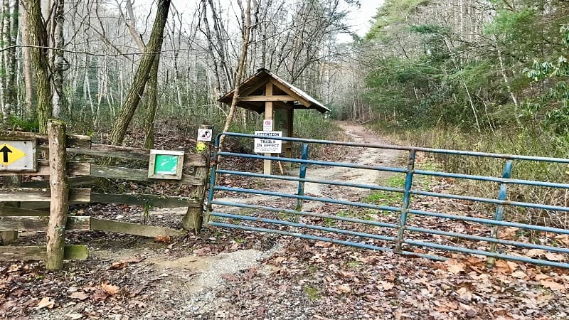
From the large trail kiosk, walk along the dirt and gravel path (Black Trail). Cross over a small bridge at the 0.1-mile mark.
At the 0.5-mile mark, you’ll see another large trail kiosk on the left. Continue past this sign until you reach a fork at the 0.6-mile mark. Turn left for the Yellow Trail.
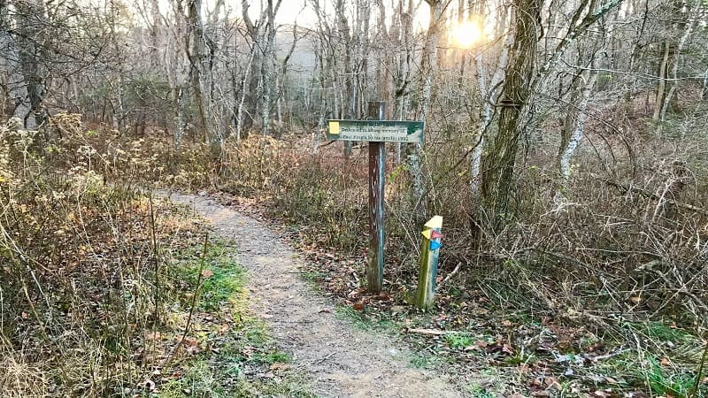
From here, the trail is much more narrow. You’ll see lots of downed trees, some with large holes in them, purportedly from woodpeckers.
The Kettles
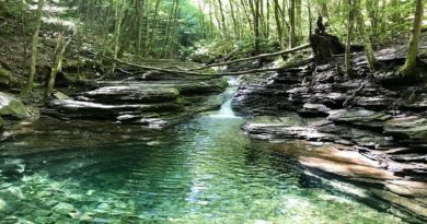
As you come around your corner, you’ll walk alongside a serene pond at the 0.7-mile mark. Continue on to hear the sounds of rushing waters down below.
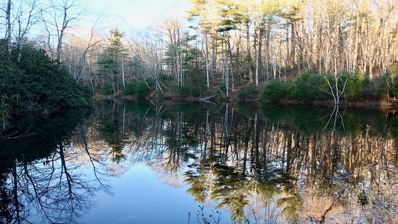
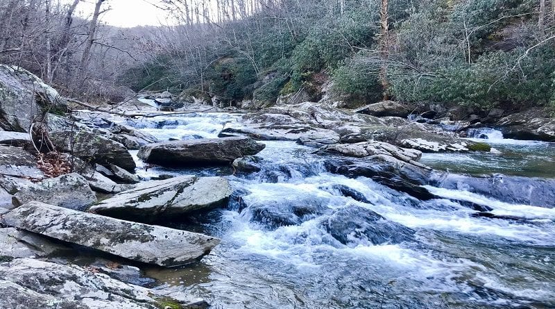
You’re hearing Bottom Creek, a headwater stream of the South Fork of the Roanoke River. It forms a stair-step series of waterfalls known as “The Kettles.”
In fall, when all the leaves have dropped from the trees, you can see all the way down to the rushing waters of Bottom Creek. It’s quite lovely and dramatic.
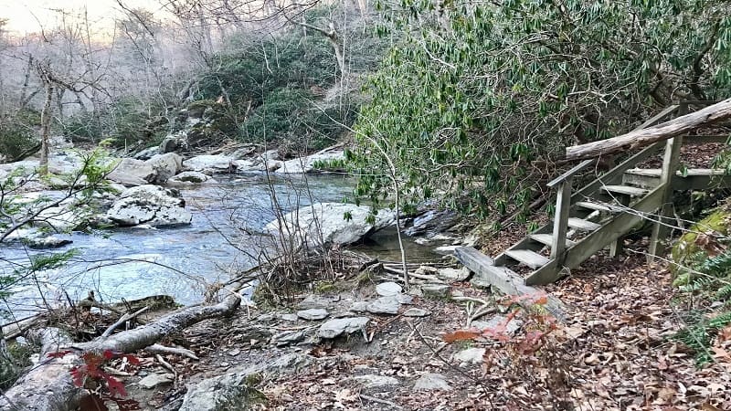
At the 1.6-mile mark, a short spur trail on your left will take you down to water’s edge. You’ll find nice flat rocks to settle down on for a snack by the water.
Continue on until the 2.1-mile mark. Here you’ll veer left to pick up the Red Trail bound for the Malcolm and Jimmie Black Overlook, which overlooks a waterfall.
Bent Mountain Falls
This waterfall overlook was named for Malcolm and Jimmie Black in 2010 for their volunteer contributions to The Nature Conservancy. Both retired at age 90.
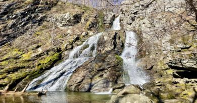
From the overlook, you can see 200-foot-tall Bent Mountain Falls. You can’t get close to the falls, but it’s a nice view of one of the tallest waterfalls in Virginia.
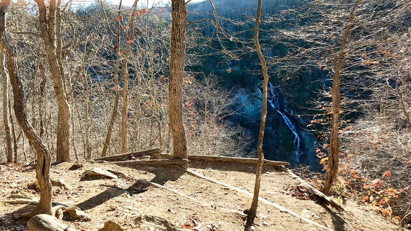
The falls are east of the overlook. I was there at 8:30 in the morning and was looking directly into the sun. So you may have better views in the afternoon.
From here, re-trace your steps. Walk past the Blue Trail, then turn left onto the Red Trail where it meets the Yellow Trail (at the 2.7-mile mark).
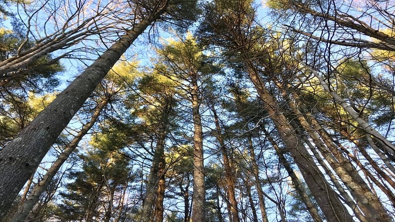
At the 3.5-mile mark, you’ll re-connect with the Black Trail. Turn left and walk the last 0.5-mile to your vehicle.
Wrap-Up Notes
From my car, this hike took me 1 hour, 40 minutes to complete, including time spent at water’s edge and at the waterfall overlook.
I was at Bottom Creek Gorge Preserve early on a Thursday morning. I did not see a soul on that 28 degree morning in November. Brrr.
Eager for more easy-going hikes? Here’s where else to go if you’re keen on more hikes in Montgomery County and near Blacksburg.

Erin Gifford has completed more than 300 hikes in Virginia. She is also the author of three hiking guidebooks from Falcon Guides. Need help finding a hike? Check out the Trail Finder feature or send Erin an email at [email protected].

