Rappahannock River Heritage Trail: A Kid-Friendly Riverside Hike in Fredericksburg, Virginia
A couple of weeks ago, I was driving north on I-95 and decided to stop in Fredericksburg for a short hike on the Rappahannock River Heritage Trail.
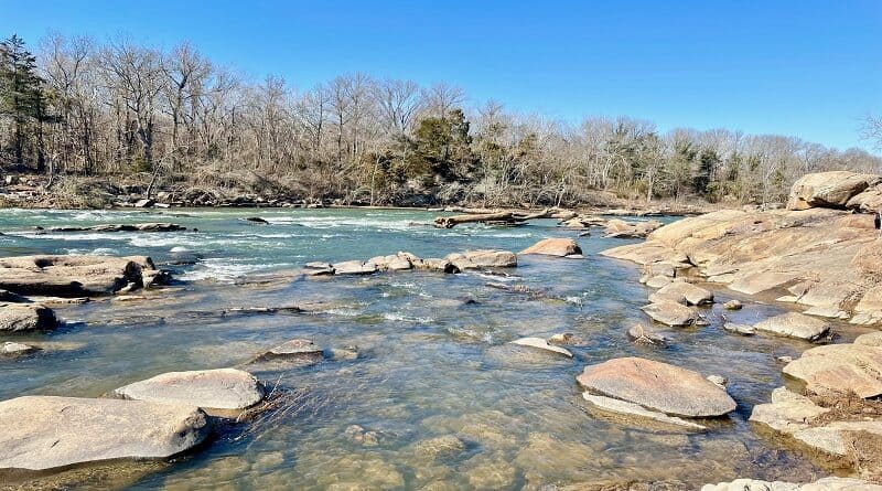
This 1.8-mile paved trail runs along the flowing Rappahannock River and Old Mill Park. This sunny walk also includes steps on the kid-friendly StoryWalk.
* Before I go on, watch a short video I made when I hiked the Heritage Trail. *
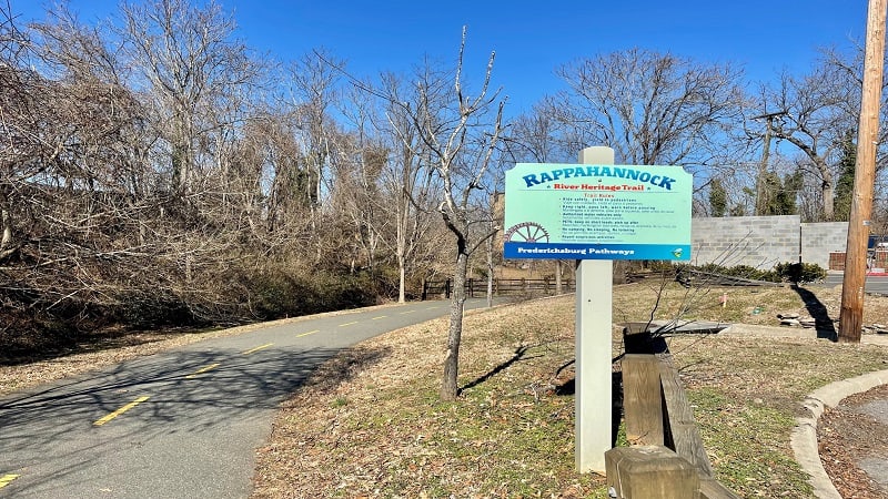
You can walk this trail to the end, then turn around and walk back. Or better, you can connect with the Canal Path to create a 3.4-mile loop hike.
This urban hike encircles the north section of Fredericksburg. It’s quite relaxing and even includes historic sites and placards along the route.
| Trail Stats | |
|---|---|
| Length | 3.4 miles |
| Difficulty | Easy |
| Trail Type | Loop |
| Elevation Gain | 95 feet |
| Duration | 1.5-2 hours |
| Terrain | Paved trails |
| Dog-Friendly | Yes |
| Fee | Free |
| Driving Directions | Click Here |
Canal Path
A good place to start this hike is the parking lot on Fall Hill Avenue at Mary Washington Blvd. It’s just east of a small traffic circle.
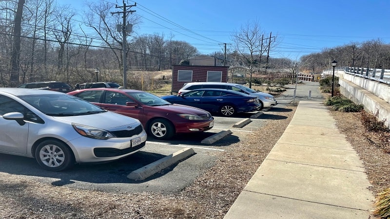
Here you’re essentially at the intersection of the Canal Path and Heritage Trail, so you can start on either walking path. I chose to begin on the Canal Path.
From the parking area, cross over the canal by way of a pedestrian footbridge, then turn left onto the Canal Path.
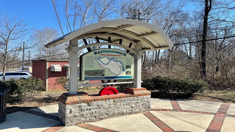
The Canal Path is a wide, flat path. The Rappahannock Canal is on your left and a residential neighborhood is on the other side of the canal.
Every so often a footbridge turns up to enable locals and visitors to cross over the canal. All of the bridges have names, like the Gordon W. Shelton Bridge.
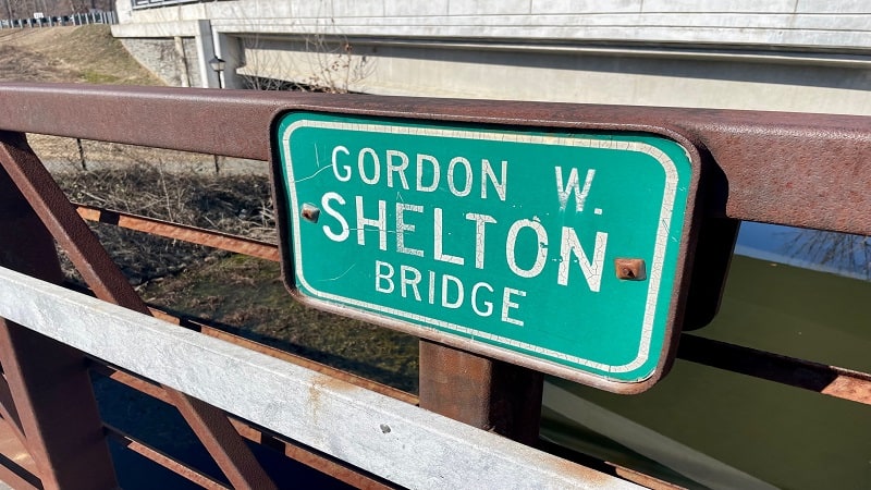
The bridges are named for long-time (even lifelong) residents who made the community a better place while they lived in Fredericksburg.
In addition to footbridges, you’ll see historical placards and benches every now and then. At the .6-mile mark you’ll pass Snowden Pond on the right.
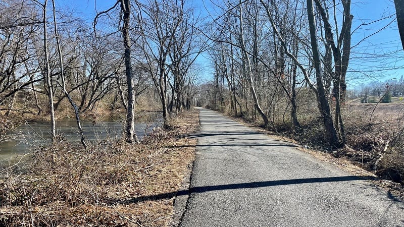
Keep your eyes open for wildlife and waterfowl as you pass Snowden Pond. You’ll then cross Emancipation Hwy on the Canal Path by way of an underpass.
On the right you’ll now see Gayle’s Pond and Cossey Botanical Park. I spied a Great Blue Heron preparing for flight as I passed the park’s fishing pond.
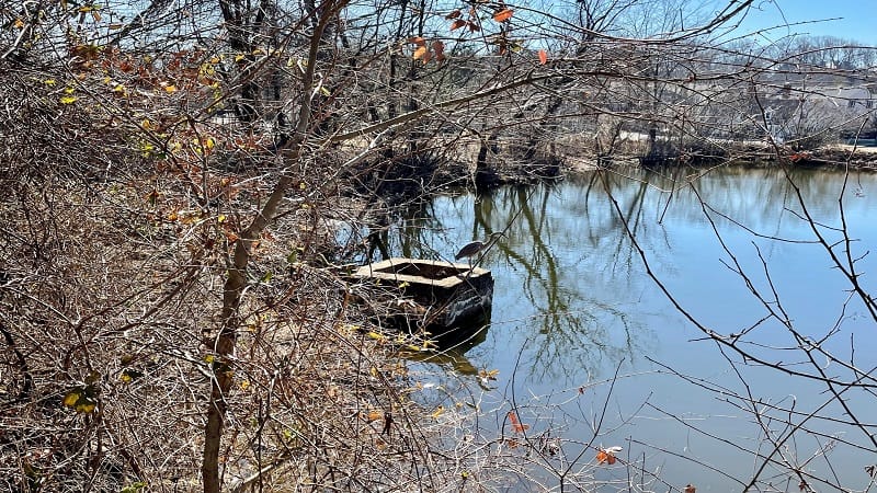
In a few more steps, you’ll cross Washington Avenue, then Canal Street. Both are small two-lane roads with well-marked crosswalks.
Where Canal Street meets Prince Edward Street you’ll see a large steel sculpture called Dancing Milkweed IV.
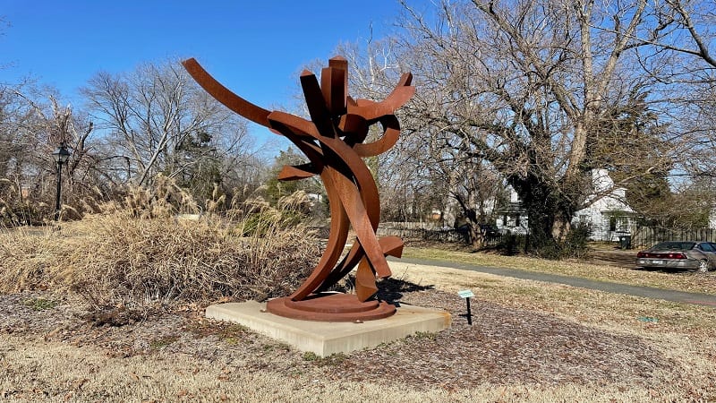
There are multiple public art sculptures on display across Fredericksburg. This one is part of a series focused on the release of seed forms in nature.
You’ll then cross a footbridge over the canal. At the 1.6-mile mark, the canal comes to an end near Princess Anne Street. There are also two picnic tables.
Rappahannock River Heritage Trail
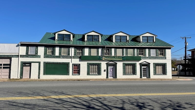
At Princess Anne Street, the Canal Path turns into the Rappahannock River Heritage Trail (Heritage Trail, for short). You’ll also see Woolen Mills.
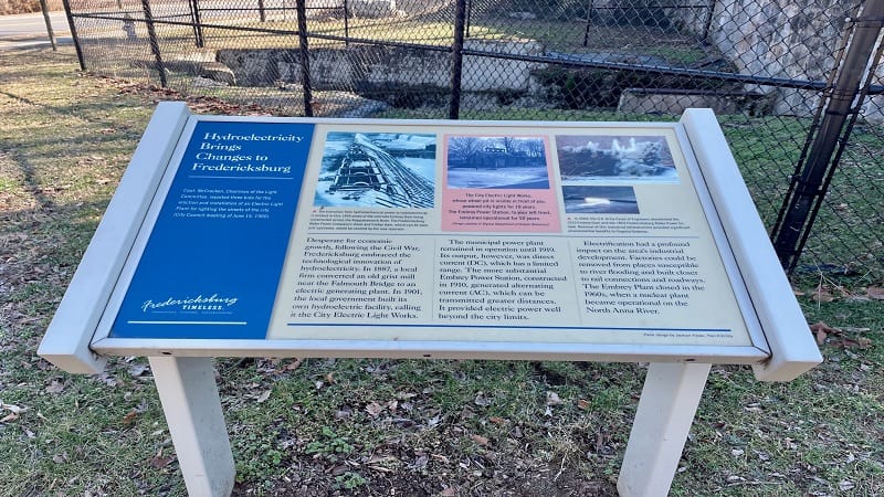
This historic mill dates back to the Civil War. You’ll also see several historical placards, including one on hydroelectricity at an old hydroelectric plant.
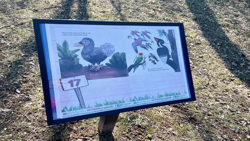
At Caroline Street, turn left onto a sidewalk that runs alongside the two-lane road. On your left, you will see 20 colorful story pages on placard signs.
This StoryWalk engages children with the story from a picture book called Bear Came Along about a bear going to overnight camp for the first time.
At the 2.0-mile mark, cross over Caroline Street at Old Mill Park. At the 2.2-mile mark, you’ll see the second of two sculptures on this walking loop.
This sculpture is called Re: Aman and is said to evoke the floodplains of the Rappahannock River. “Aman” is a Siouan word that means place or country.

Continue on to walk through an underpass and you will reach an open area to walk down to the river at the 2.7-mile mark.
A placard discusses how the power of the flowing Rappahannock River was harnessed over time for hydroelectric plants and water-powered grist mills.
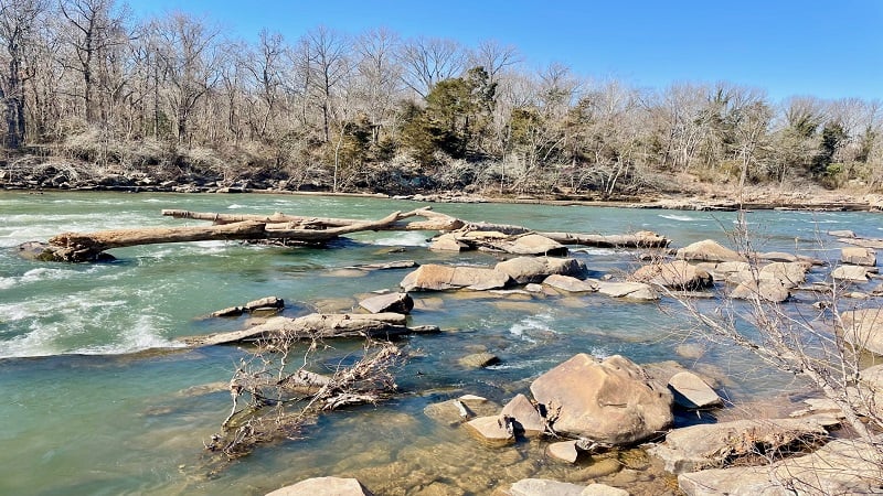
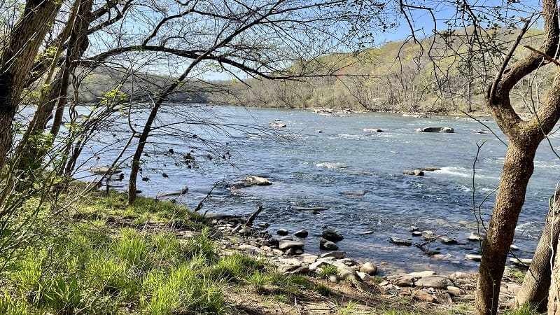
At the 2.9-mile mark, you’ll reach a set of wooden steps that leads down to the river banks for rock hopping and reveling in the scenic views.
Continue walking along the river from various elevations. You’ll begin to walk away from the river at the 3.2-mile mark for the final steps of this hike.
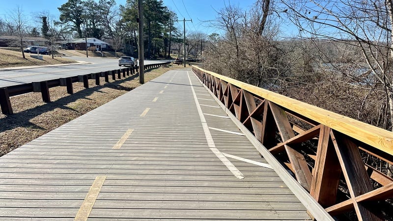
At the 3.4-mile mark, cross over Fall Hill Avenue and you will find yourself at the parking area. Of note, there is a porta-potty in the parking area.
Wrap-Up Notes
From the parking lot, this hike took me 75 minutes, including time spent walking down to the river banks to enjoy the far-reaching views.
If you’re up for a second hike, you don’t even need to leave the parking area. You can pick up the Fredericksburg Quarry Trails from this location.
From here, walk northwest along the Rappahannock River by way of the Scout Trail and Beach Trail. Note that these trails are used by mountain bikers, too.
For lunch, historic Fredericksburg, Virginia is a 10-minute drive from the parking lot. There are several restaurants, as well as shops and historic sites.
I recommend Foode on Princess Anne Street. Order the fried chicken sandwich. Seriously, so good. This alone is worth a visit to Fredericksburg.

Erin Gifford has completed more than 300 hikes in Virginia. She is also the author of three hiking guidebooks from Falcon Guides. Need help finding a hike? Check out the Trail Finder feature or send Erin an email at [email protected].

