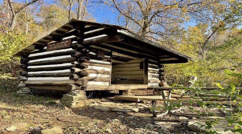
Appalachian Trail: Hike to the Manassas Gap Shelter in Linden, Virginia
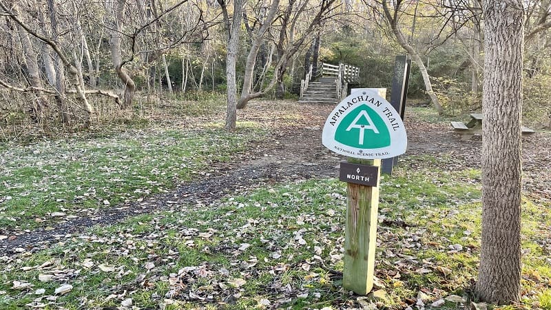
In Linden, Virginia, a short stretch of the white-blazed Appalachian Trail leads to the Manassas Gap Shelter, one of 62 Appalachian Trail shelters in Virginia.
I had no idea that the Manassas Gap Shelter was the next shelter north from the Jim & Molly Denton Shelter. I hiked to that shelter only a few months earlier.
Maintained by the Potomac Appalachian Trail Club (PATC), the Manassas Gap Shelter is more rustic, but it was very clean and would make a nice overnight stop.
This 4.9-mile out-and-back hike has an overall elevation gain of 1,102 feet. Your heart will be pumping, so bring trail snacks to enjoy at the shelter picnic table.
| Trail Stats | |
|---|---|
| Length | 4.9 miles |
| Difficulty | Moderate |
| Trail Type | Out-and-Back |
| Elevation Gain | 1,102 feet |
| Duration | 2.5-3 hours |
| Terrain | Mostly dirt & rock trails |
| Dog-Friendly | Yes |
| Fee | Free |
| Driving Directions | Click Here |
Manassas Gap Hike
This hike begins from a parking area on Tuckers Lane. There is a picnic table and a trail kiosk with an AT trail map (Snickers Gap to Chester Gap).
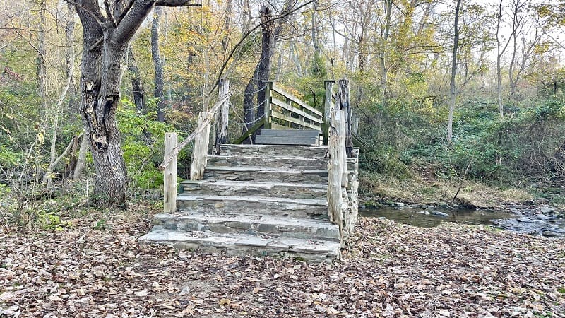
The parking area is large. There is enough room for 12-15 vehicles. Your first steps on this 4.9-mile hike are across a wooden footbridge over a refreshing stream.
You’ll note a lot of noise from cars and trucks motoring along Route 66. By the 1.0-mile mark you won’t be able to hear any cars or trucks at all.
At the .7-mile mark, a blue-blazed spur trail sets off to the right. A sign marked “View” is nailed to a tree about 15-20 feet down the wooded path.
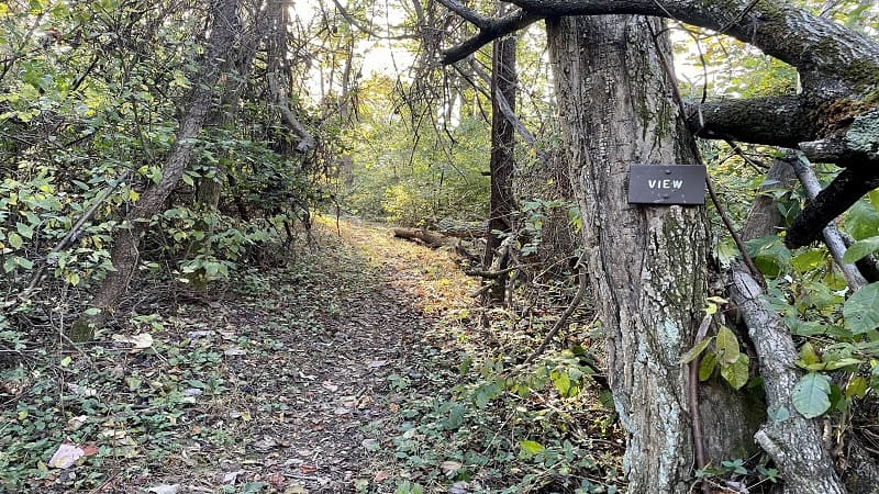
I made note that AllTrails reviewers said to bypass this spur trail. There is no view. However, I wanted to check it out for myself. Thankfully, it was a short side trail.
It’s .1 miles to a wooden bench. There may have been a view many years ago, but I don’t think that even in winter (with no leaves) that there would be much to see.
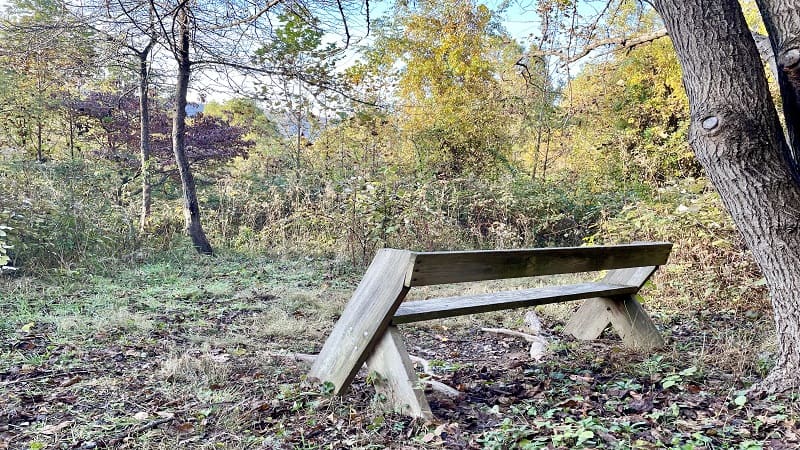
Still, it was a very short detour, and after an uphill climb for .7 miles, many may find this wooden bench to be a welcome sight.
Re-trace your steps from the bench, then turn right to continue ascending along the Appalachian Trail to the Manassas Gap Shelter.
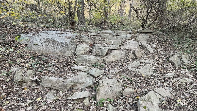
You will enter the G. R. Thompson Wildlife Management Area at the 1.9-mile mark. There is no bold signage and nothing really changes on the trail.
The only indication is the yellow marks on several trees. You’ll also notice an overview sheet with rules as they relate to the Appalachian Trail.
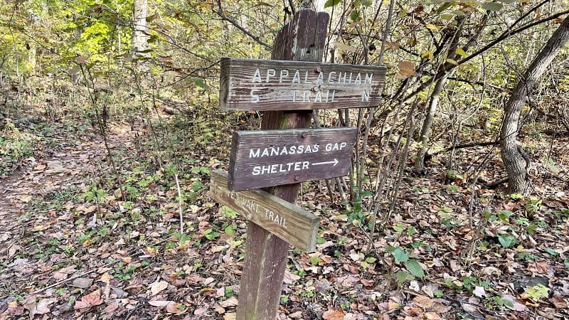
You will see a sign at the 2.4-mile mark when the AT intersects with the Ted Lake Trail. Stay right for the northbound Appalachian Trail.
In a few more steps, a second sign directs you to turn right onto a blue-blazed spur trail that leads to the Manassas Gap Shelter.
Manassas Gap Shelter
You will reach the Manassas Gap Shelter at the 2.5-mile mark. You’ll first note a couple of primitive camping sites and a bear pole (for hanging food up high).
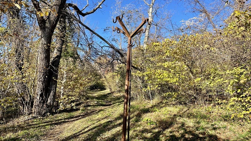
There is not a lot of green space – certainly not like at the Jim & Molly Denton Shelter – but there is a picnic table and a large fire pit (with a camping shovel).
Side trails lead to an outdoor privy and a spring. The slanted roof shelter (a “lean-to”) has pegs inside and outside for hanging backpacks.
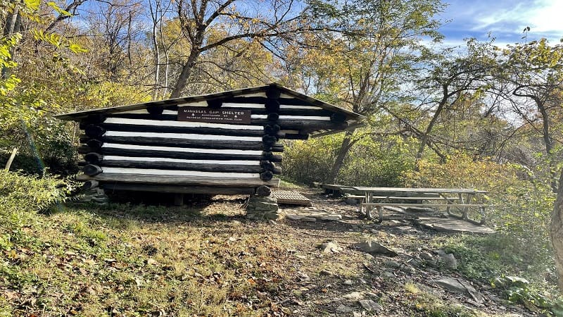
Inside this backcountry shelter, a log book allows visitors to write a few words about their travels, including where they are from and their trail names.
There are no real views to take in from the Manassas Gap Shelter, but it’s a nice spot to take a break for lunch or to re-hydrate.
From here, simply re-trace your steps to the parking lot. Your hike is complete at the 4.9-mile mark.
Appalachian Trail (Linden, Virginia)
There are two hikes that set off on the Appalachian Trail in Linden, Virginia. The southbound hike is 6.4-miles and leads to the Jim & Molly Denton Shelter.
This hike begins just across John Marshall Highway. From the Manassas Gap parking area, turn left on Tuckers Lane, which dead-ends at trailhead parking.
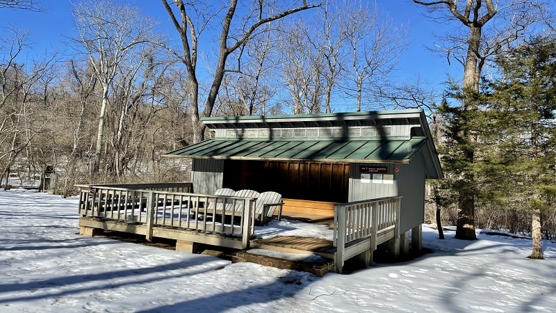
This Appalachian Trail shelter is very nice. The three-walled shelter has a wooden deck with an Adirondack bench, as well as a covered picnic table pavilion.

There’s also a stone fire pit, an outdoor privy and a game pit to play horseshoes. Lots of green space surrounds the shelter for those who want to pitch a tent.
This 6.4-mile hike departs from a parking area on the south side of two-lane John Marshall Highway. Some also call this the Trumbo Hollow hike.
Wrap-Up Notes
From the parking area, this hike took me two hours, including time spent taking a break at the picnic table and flipping through the trail log book.

If you have time for a second hike, consider Shenandoah River State Park. It’s a short 25-minute drive from the parking area.
Set on the South Fork of the Shenandoah River, there are many hiking trails with water views, as well as vistas from Culler’s Overlook.

Erin Gifford has completed more than 300 hikes in Virginia. She is also the author of three hiking guidebooks from Falcon Guides. Need help finding a hike? Check out the Trail Finder feature or send Erin an email at [email protected].

