Falls Ridge Preserve: A Waterfall Hike with Caves, Cascades + Cliffs
NOTE: As of 1/27/22, Falls Ridge Preserve is closed until further notice. The trails are being repaired following an extended period of visitation.
Meantime, I encourage you to check out a few of my other favorite hikes if you’re still game to go hiking near Roanoke, Virginia.
A recent 3.1-mile hike at the 655-acre Falls Ridge Preserve in Shawsville was not what I expected, but it was a really good workout. And quite geological, too.
Falls Ridge Preserve is one of multiple parks, natural areas, gorges and natural preserves across the country that are protected by The Nature Conservancy.
Some, like Falls Ridge Preserve, are open to the public while others, like Walnut Hill Preserve, are closed to the visitors. Both are in Montgomery County, Virginia.
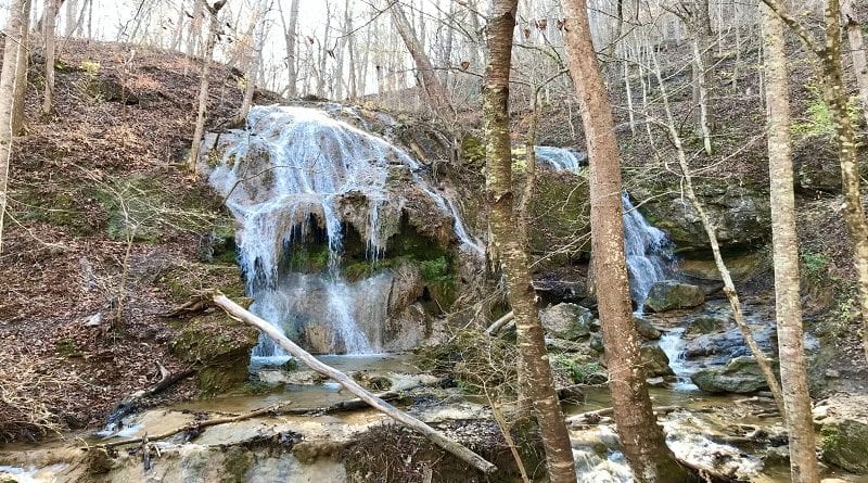
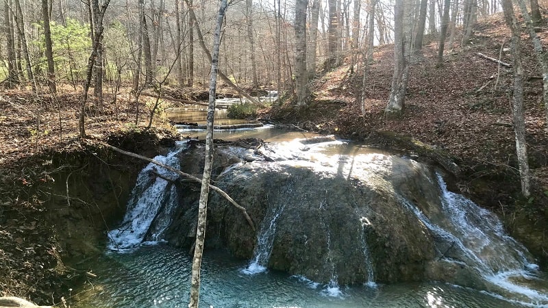
Falls Ridge Preserve has two hiking trails, as well as an 80-foot-tall spring-fed waterfall, cascading waters, travertine cliffs, caves and a loop around Mill Knob.
| Trail Stats | |
|---|---|
| Length | 3.1 miles |
| Difficulty | Moderate |
| Trail Type | Lollipop |
| Elevation Gain | 689 feet |
| Duration | 2-3 hours |
| Terrain | Mostly dirt trails |
| Dog-Friendly | No |
| Fee | Free |
| Driving Directions | Click Here |
Falls Ridge Preserve
Before you arrive, you will face a few quick challenges. The first is traversing a very narrow bridge that crosses the North Fork of the Roanoke River.
There is even a warning sign. As in, cross this bridge at your own risk. If your vehicle is too wide and you scratch it all to heck, it’s all on you.
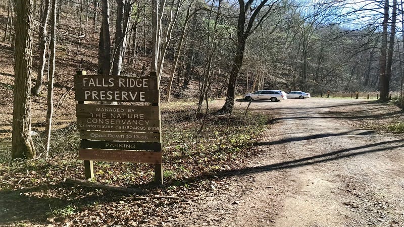
I was hesitant to cross, but had no problems getting my Honda Odyssey minivan over the bridge – without a scrape or a scratch to boot.
Once you cross over, there’s a railroad crossing with nary a warning, so who knows whether this section of track is still in use. There were no safety signs or signals.
Once you’re safely across, you’ve got to make a sharp left turn, then descend on a narrow, bumpy, gravelly road that leads you back to the parking lot.
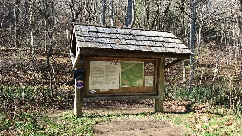
Park your vehicle and you’re steps away from the trailhead. You’ll find it at the very back of the parking lot, adjacent to a large trail kiosk.
Hiking Trails
From the trail kiosk, you’ll note that there are two trails: Red (Chamberlain) and Silver (Bradley). It’s unclear why there are two names for each hiking trail.
It’s safe to say that one is named for Mr. William P. Bradley who bought Falls Ridge Preserve in 1968 and deeded it to The Nature Conservancy in 1974.
I still don’t know the origin of Chamberlain, but I do know that this 3.1-mile hike includes steps on both trails. Honestly, I didn’t even realize this until just now.
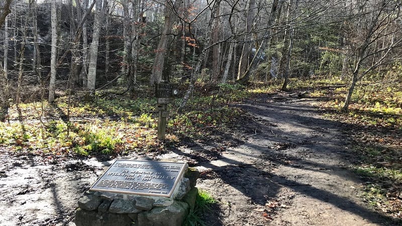
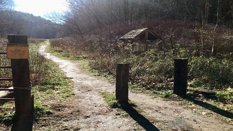
The hike begins with a .2-mile walk on a dirt trail through an open field. This is on the Chamberlain Trail. The forest is to the right, a babbling stream is to the left.
At the .2-mile mark, you’ll reach a fork in the trail. You’ll also quickly spy the tumbling waterfall, up a dozen or so wooden steps along the Bradley Trail.
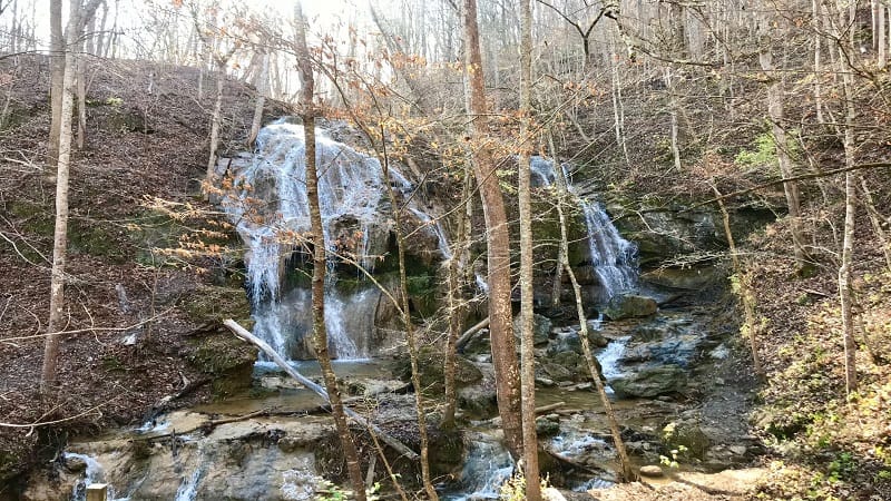
Continue right for the waterfall. It’s nice to have an early payoff on a hike. As you get closer, you’ll notice a wooden platform to better see the dramatic falls.
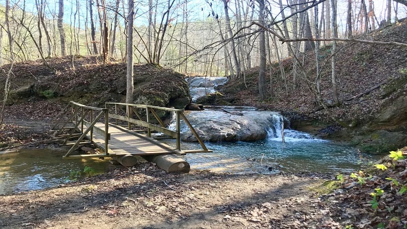
Once you savor the views, get back on the trail. You will ascend and cross over the top of the falls, then walk alongside the cascades. There’s even an overlook.
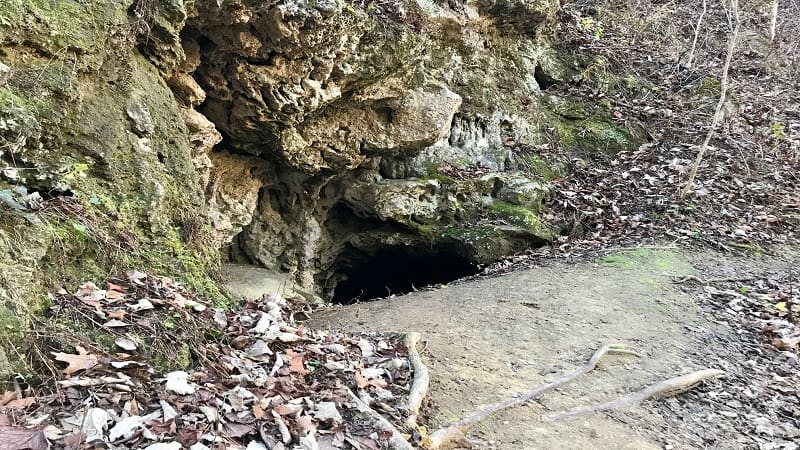
You’ll soon descend some wooden steps. Look for the creepy dark cave on your left on the way down, just past the .5-mile mark.
In a few more steps, you’ll reach a fork in the trail. Veer right at the wooden trail sign for the Chamberlain Trail.
From here, the trail gets pretty steep, ascending 350 feet in less than .5-mile. Continue climbing, but after the 1.0-mile mark, it’s more of a mild incline.
Before you ascend the hill, you’ll see the remains of an old kiln. This was built in 1939 to produce burnt lime from calcium carbonate blasted from the cliffs.
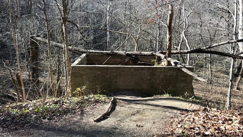
At the 1.4-mile mark, the trail splits. You can go either way since it’s a loop trail. I opted to go right to continue uphill so the return hike would be all downhill.
The next .6-mile of the hike is a loop around Mill Knob. There are no overlooks, but in fall and winter, you can enjoy 360-degree views when all the leaves have fallen.
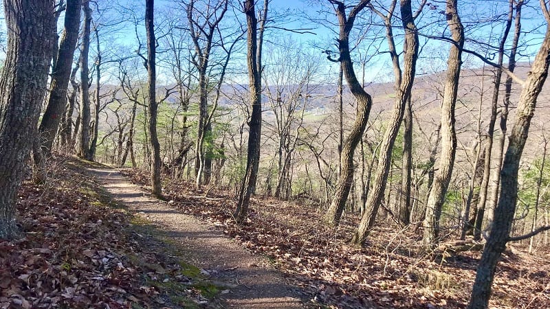
Continue on this forested hike. Close the loop at the 2.0-mile mark, then descend along the woodland trail.
At the 2.8-mile mark, turn right to stay on the Chamberlain Trail, though there is no signage. On your left, you’ll see a massive travertine (limestone) rock formation.
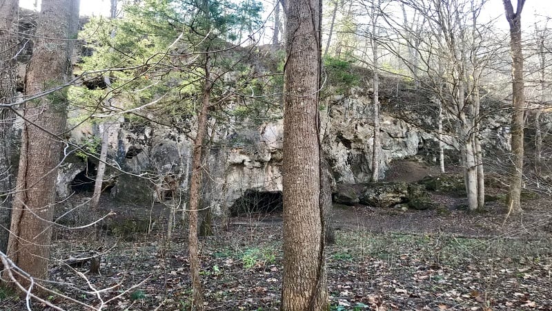
In a few more steps, you’ll reach a wooden bridge to cross. You’ll then spy the waterfall on your left once more.
Stay to your right and you will complete the hike at the 3.1-mile mark.
Hike Options
For a shorter waterfall hike, begin on the Bradley Trail to see the waterfall. Walk up over the falls, then descend the stairs, passing the dark cave on the way down.
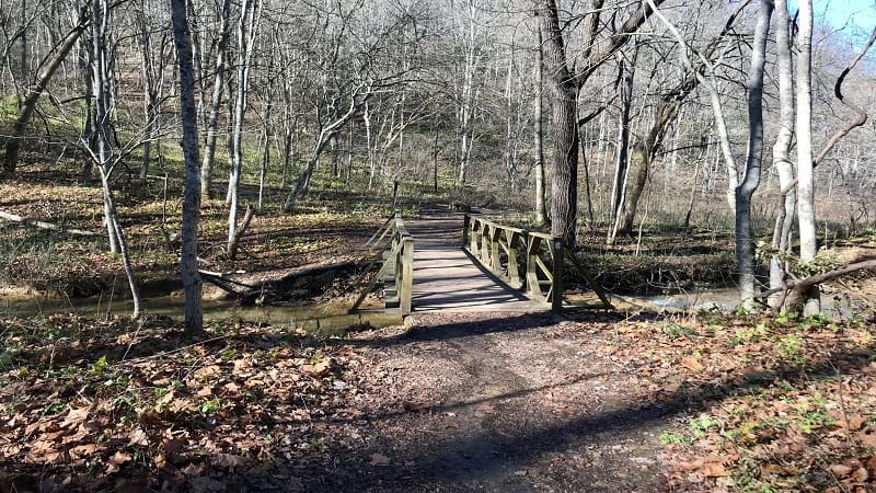
When you see the Chamberlain Trail sign, veer left (instead of right) to form a loop and return to the parking lot. This makes for an easy .8-mile hike.
Wrap-Up Notes
This hike took me nearly 90 minutes, including time spent ogling the falls and cascades. Note that dogs are not allowed at the nature preserve.
For post-hike eats and sips, it’s a 20-minute drive to Christiansburg. You’ll find sit-down restaurants and fast food joints, as well as gas stations and grocery stores.

Erin Gifford has completed more than 300 hikes in Virginia. She is also the author of three hiking guidebooks from Falcon Guides. Need help finding a hike? Check out the Trail Finder feature or send Erin an email at [email protected].

