Harkening Hill: 3 Scenic Hiking Routes in Bedford
Of the three Peaks of Otter in Bedford, Virginia, Harkening Hill is the smallest (at an elevation of 3,372 feet) and most underrated of the three mountain peaks.
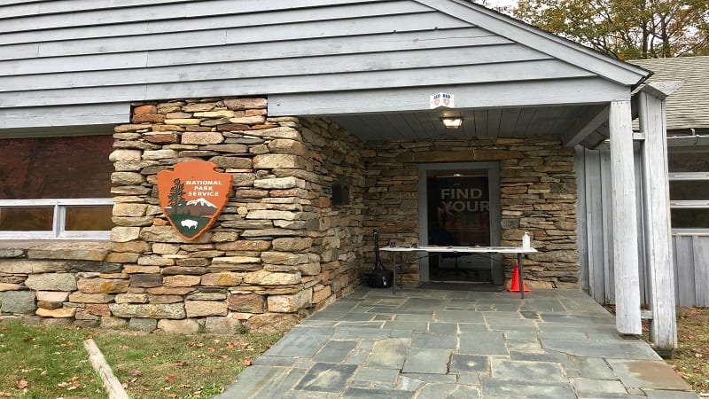
Just off the Blue Ridge Parkway at milepost 85.6, the Harkening Hill trailhead begins (or ends) just behind the Peaks of Otter visitor center.
Harkening Hill is also in the shadow of Sharp Top, the most popular of the three mountain peaks, which stands tall at 3,875 feet just across the parkway.
I hiked all three Peaks of Otter in the same weekend (including Flat Top, which shares a parking lot with the refreshing Fallingwater Cascades Trail).
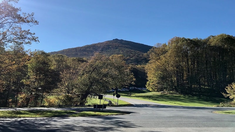
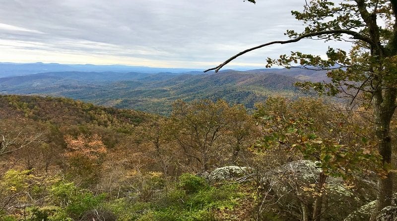
I was awed by the wide-reaching views from Harkening Hill, and thankful for the quiet and serenity of this lightly-trafficked, leafy trail.
There are three ways to reach Harkening Hill in Jefferson National Forest. All three hikes are moderate and wow with sweeping views from the summit. Here are the options.
#1: Harkening Hill Hike. This 2.8-mile out-and-back hike begins and ends at the trailhead behind the visitor center.
#2: Harkening Hill Loop Hike. This 3.2-mile loop hike begins just east of the visitor center – across from Peaks of Otter Lodge – and ends behind the visitor center.
#3: Harkening Hill + Johnson Farm Loop Hike. This 3.6-mile hike begins at the Johnson Farm Loop sign east of the visitor center and ends behind the visitor center.
Note that the trailhead for options #2 and #3 is an easy 0.3-mile walk from the visitor center. There’s a short spur trail that begins at the east end of the parking lot.
#1: Harkening Hill Hike
From the Peaks of Otter visitor center, walk behind the building, just past the outdoor amphitheater. Here you will see a trail sign on the left for the Harkening Hill Loop Trail.

You don’t need to do this as a loop. In fact, it’s a slightly shorter hike if you tackle this one as an out-and-back hike.
From the trailhead, it’s a gradual ascent through the leafy forest to Harkening Hill. You’ll encounter some modest switchbacks along the way, but nothing terrible.
The elevation gain over 1.4 miles is less than 800 feet, so it’s very manageable. Near the 1.1-mile mark, keep your eyes open for a cool balance rock on the left.
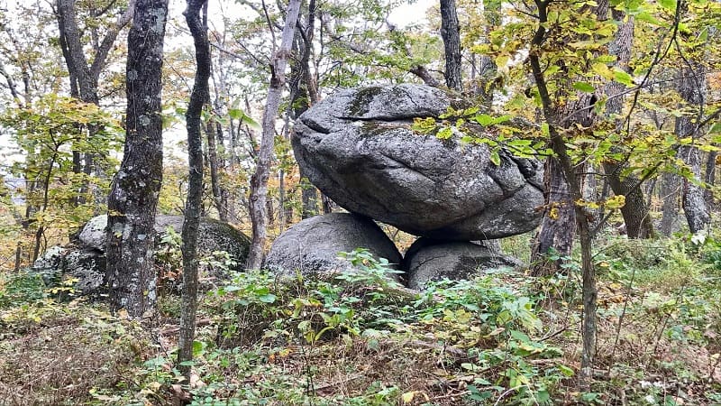
This is not the balance rock, though I believe it also deserves acclaim and its own trail sign just like the Balance Rock (in caps). More on that in a few more paragraphs.
At the 1.4-mile mark, you’ll see Harkening Hill on the left. There is a beautiful rock outcropping to sit on and enjoy the sweeping northwest views.
I hiked on a damp Friday afternoon, so I was the only person at the summit. It was completely awe-inspiring.

Before you re-trace your steps to the visitor center, walk past Harkening Hill along the trail. In 700 feet, you’ll reach a spur trail. Turn right for the Balance Rock.
In another 300 feet, you will reach Balance Rock. It’s a large boulder balanced on a small rock. Not all spur trails are worth the detour, but I’d say this one was.
Once you’ve snapped photos at Balance Rock, re-trace your steps on the spur trail, then turn left to hike back to the visitor center.
#2: Harkening Hill Loop Hike
From the east end of the parking area for the Peaks of Otter visitor center, follow an easy .3-mile walking path until you reach the directional trail sign for Harkening Hill.
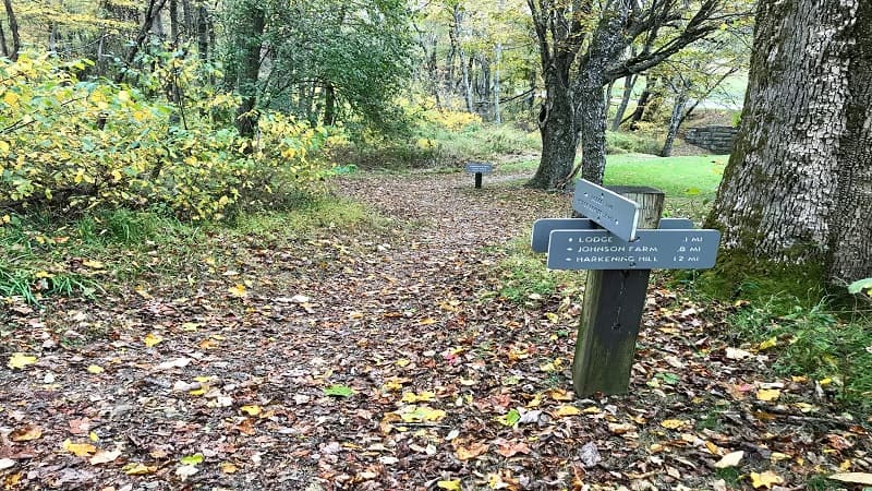
At the sign, turn left to begin the modest ascent up the trail. Near the .5-mile mark, you will reach a fork in the trail. Turn left for Harkening Hill and Balance Rock.
Honestly, this was the first time I’d even heard of Balance Rock. I was intrigued, and hopeful that Balance Rock lived up to being worthy of mention on a trail sign.
At the .7-mile mark, you’ll see a trail sign. Turn left here. In a few more steps, a fire road veers off to the left, but just continue straight along this trail.
You’ll reach a clearing at the .9-mile mark. There are no trail markers. I just followed the matted grass and was able to find my way to the resumption of the trail.
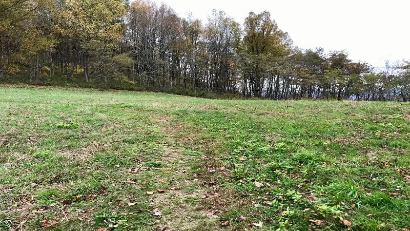
At the 1.3-mile mark, you’ll see a trail sign to turn left onto a spur trail for Balance Rock. It’s all downhill for 300 feet until you reach the engaging rock formation.
Harkening Hill comes into view at the 1.6-mile mark. Enjoy the panoramic views from the rock outcropping and snap a photo of the summit sign.
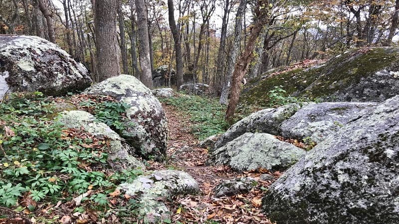
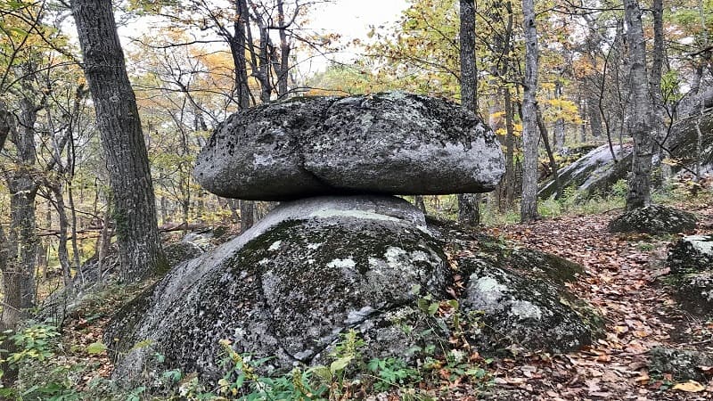
Continue on past Harkening Hill. You’ll see some cool boulders along the way, then the second balance rock appears on the left at the 2.1-mile mark.
The trail descends and you’ll encounter some mild switchbacks before exiting the trail at the 3.2-mile mark at the back of the visitor center’s outdoor amphitheater.
#3: Harkening Hill + Johnson Farm Loop Hike
From the east end of the parking area for the Peaks of Otter visitor center, follow the easy .3-mile walking path until you reach the directional trail sign for Harkening Hill.
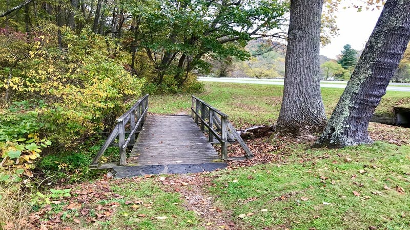
This next step is critical. Walk past this first sign that indicates a left turn to Johnson Farm. Do all you can to pretend this sign does not exist.
There is a second trail sign a few steps further for the Johnson Farm Loop Trail. This is where to begin if you want to add on Harkening Hill without re-tracing your steps.
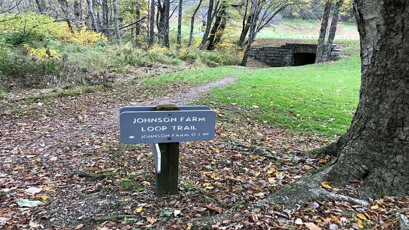
Honestly, I was very confused when I reached these two trail signs. I ended up ascending the first trail and doing the Johnson Farm Loop, without Harkening Hill.
I then hiked the Harkening Hill Loop. So, two separate hikes, instead of one that included both Johnson Farm and Harkening Hill. I want you to avoid this situation.
So, begin the hike at the Johnson Farm Loop Trail. In a few steps you will reach a clearing. On this site once stood the Hotel Mons, a popular mountain resort.
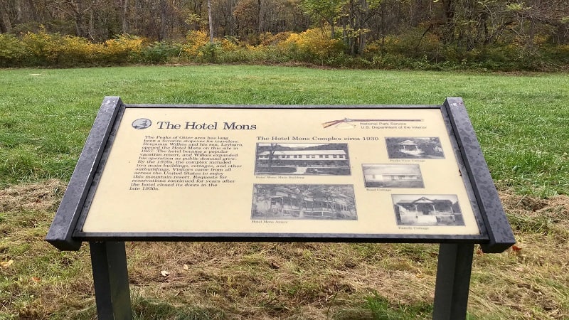
The Hotel Mons opened in 1857. By the 1920’s, the resort complex grew to include two main buildings, several cottages and various other outbuildings.
A placard at this site displays various photos of the complex circa 1930. The resort closed in the late-1930’s, but received reservation requests for years to come.
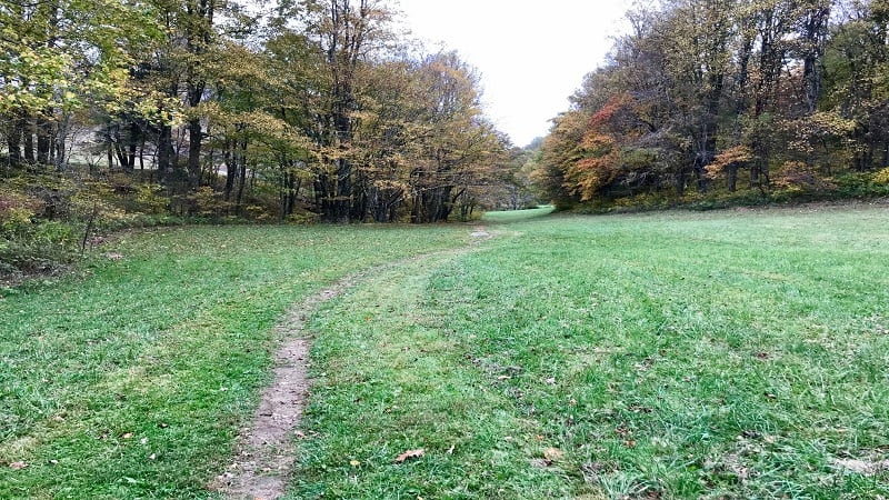
Once you exit the clearing where the hotel was stood, you will enter the forest and continue on for .6-mile. At this point, turn left to continue on to Johnson Farm.
In a few more steps, you will reach Johnson Farm, a settlement that at one time included 22 families, a church and a school, as well as the Hotel Mons.
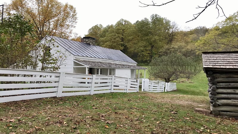
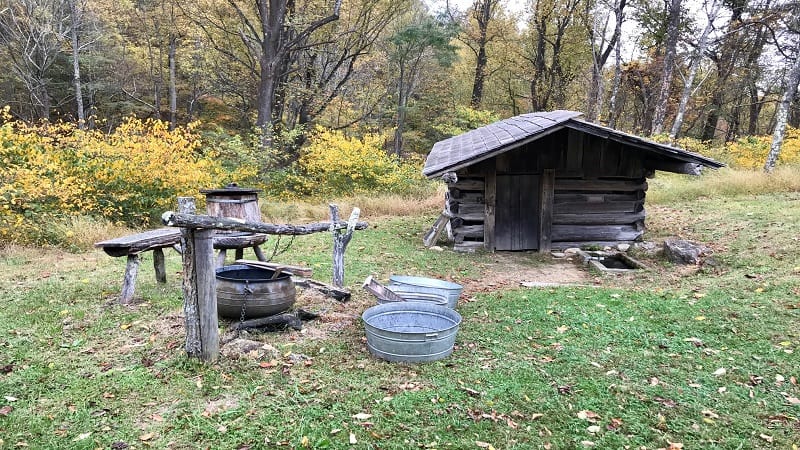
Built in 1854, the farm was occupied by members of the Johnson family until the early-1940’s. The restored farm includes a farmhouse, weaving shed and apple house.
Continue on the trail that picks up just past the Johnson Farm. At the 1-mile mark, you’ll see a fork in the trail and a trail sign. Turn right for Harkening Hill.
At the 1.2-mile mark, you’ll see a trail sign. Turn left here. In a few more steps, a fire road veers off to the left, but just continue straight along this trail.
You’ll reach a clearing at the 1.4-mile mark. There are no trail markers. I just followed the matted grass and was able to find my way to the resumption of the trail.
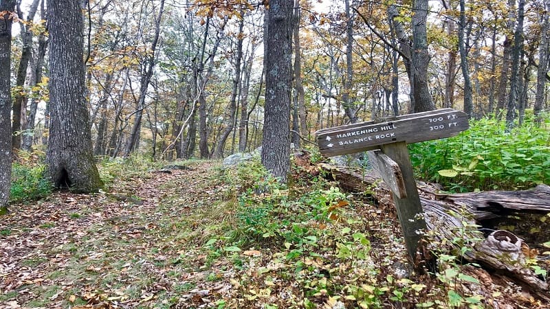
At the 1.9-mile mark, you’ll see a trail sign to turn left onto a spur trail for Balance Rock. It’s a mild descent for 300 feet until you reach the curious rock formation. Re-trace your steps to the main trail, then turn left.
Harkening Hill comes into view on the right at the 2.2-mile mark. Enjoy the panoramic views from the rock outcropping and snap a photo of the summit sign.
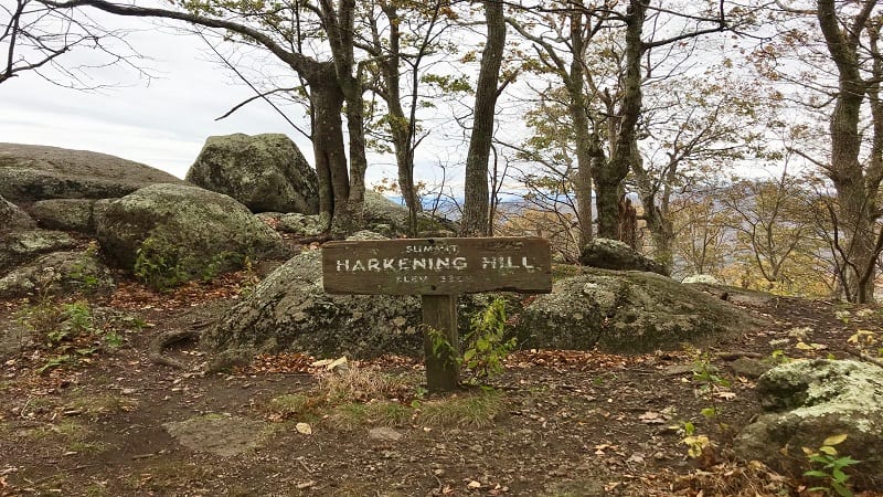
Continue on past Harkening Hill. You’ll see some cool boulders along the way, then the second balance rock appears on the right at the 2.6-mile mark.
The trail descends and you’ll encounter some mild switchbacks before exiting the trail at the 3.6-mile mark at the back of the visitor center’s outdoor amphitheater.
Wrap-Up Notes
Of the three options, I most enjoyed the 3.6-mile Harkening Hill + Johnson Farm Loop Hike.
There was not a huge elevation change and it was a two-fer in that I was able to explore both the restored farmhouse and the foliage-filled rocky summit.
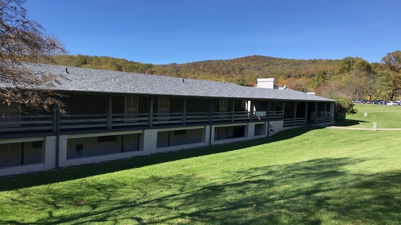
Post-hike, it’s an easy walk to the Peaks of Otter Lodge across the street. There’s a tunnel under the Blue Ridge Parkway steps from the Johnson Farm Loop trailhead.
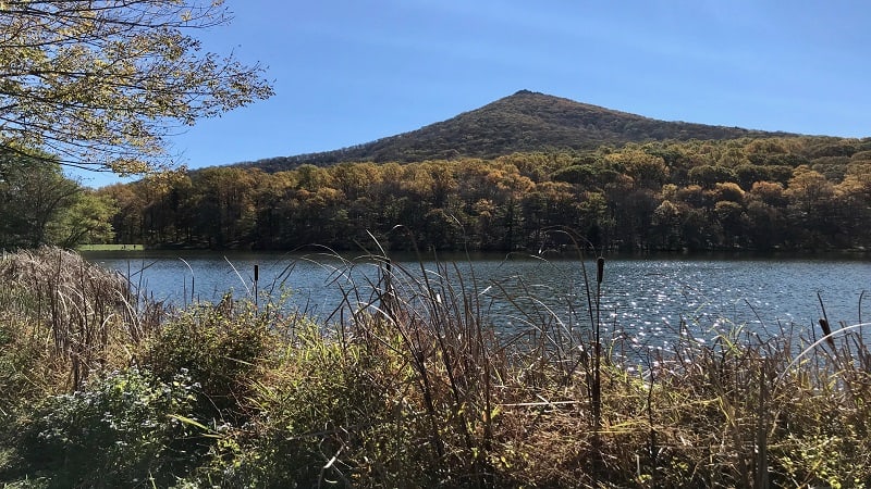
At the lodge, there’s a sit-down restaurant, as well as a snack-filled gift shop. Be sure to savor the views of Sharp Top from Abbott Lake, just behind the lodge.
Eager for more scenic hiking trails? Here’s where else to go hiking near Roanoke, Virginia.

Erin Gifford has completed more than 300 hikes in Virginia. She is also the author of three hiking guidebooks from Falcon Guides. Need help finding a hike? Check out the Trail Finder feature or send Erin an email at [email protected].

