Woodstock Tower Hike: Revel in Spectacular Views Across Virginia’s Shenandoah Valley
In June, I endeavored to hike the Woodstock Tower Trail or what I thought was a trail with that name, according to AllTrails.
From the trail description, this hike in Woodstock, Virginia looked manageable and the views from the top of the tower looked fantastic. I was stoked.
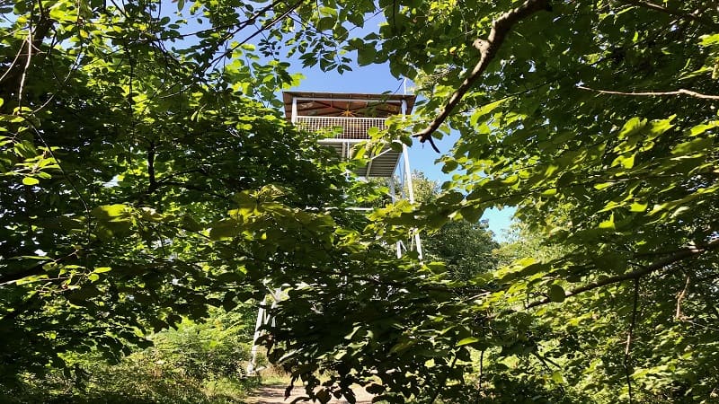
I piled my kids into the car and we set off for the trailhead. This short hike in Virginia was the first of several outdoor activities planned for this day.
We could not find this kid-friendly hiking trail – because there is no trail named Woodstock Tower Trail. Worse, I had no cell reception (thanks, AT&T).
So, I could not map to the trailhead once in the parking lot. Ugh. Fortunately, we did make it to the top of the tower, but more on that shortly.
| Trail Stats | |
|---|---|
| Length | 1.7 miles |
| Difficulty | Moderate |
| Trail Type | Out-and-Back |
| Elevation Gain | 538 feet |
| Duration | 1-1.5 hours |
| Terrain | Dirt & rock trails, some steps |
| Dog-Friendly | Yes |
| Fee | Free |
| Driving Directions | Click Here |
Woodstock Tower Hike
First things first, AllTrails does accurately map to the trailhead location (when you have cell service). However, the actual trail name is Wagon Road Trail.
The trailhead is in the middle of the Little Fort Campground in the Lee District of the George Washington National Forest.
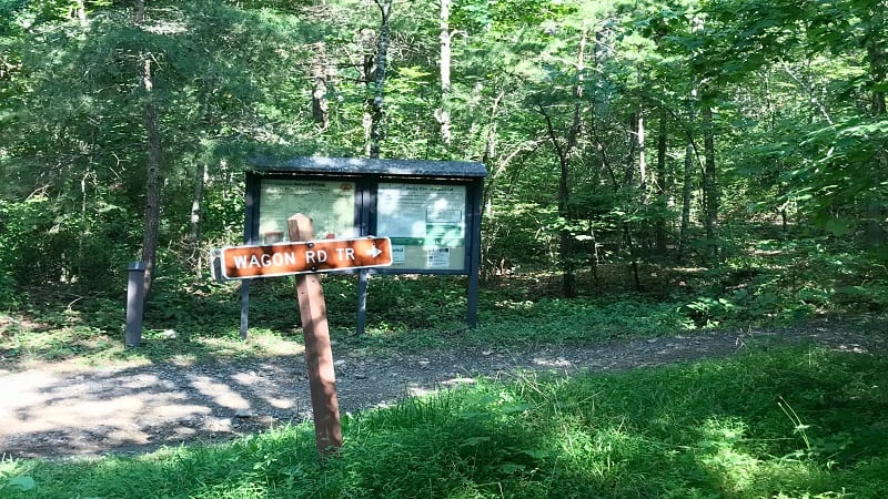
I attempted this 1.7-mile out-and-back hike again yesterday and was happy I gave it a second chance.
I wanted to do it right this time, then share it with you so you also have a positive experience. As in, you find the trail and make it to the top to savor the views.
When you arrive at the campground, you’ll see a large sign at the trailhead. I’m harping on this now, but if you don’t know the correct trail name, it’s of no help.
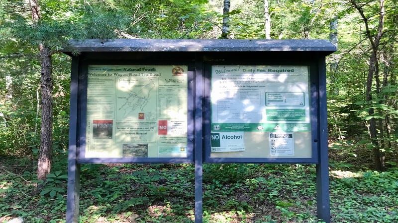
Given the blue dot on my AllTrails app was on top of this trail sign, I had to assume that the Wagon Road Trail was where I needed to be.
On a related note, I’ve since upgraded to AllTrails Pro and downloaded the trail map to my phone before I left the house to have offline access.
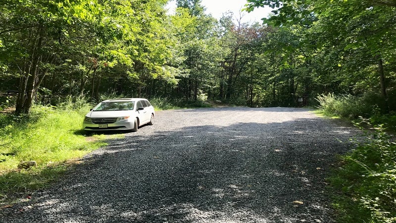
There is no dedicated parking lot for this hike. However, just before the trail sign, there’s a shoulder area on the right of the gravel road to park your vehicle.
Wagon Road Trail
This is not the most well-marked trail. However, since there was a trail that originated just past the trail sign, I had to assume that this was the trail.
So I began a healthy climb up what I hoped was the Wagon Road Trail.
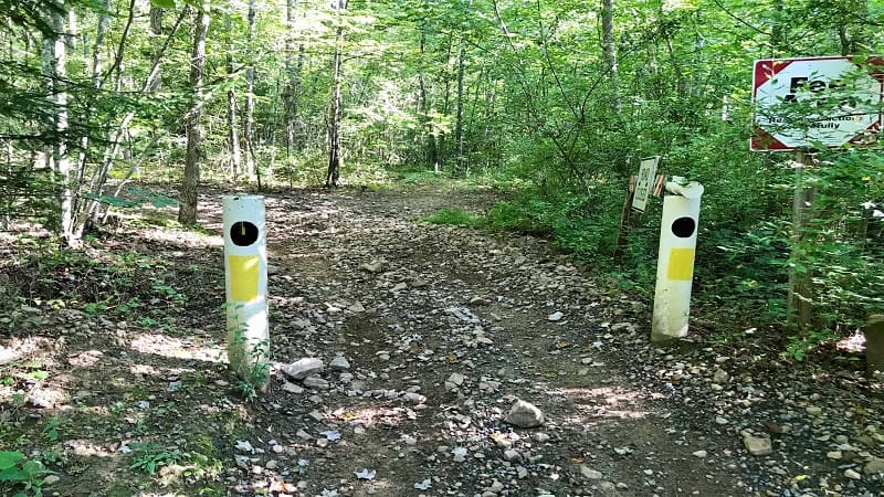
This first section is an OHV/ATV trail. It’s mostly dirt and rocks. At the .1-mile mark, you’ll reach a T-intersection with an off-road trail called Peters Mill Run.
From here, do a quick zig to the right, maybe 10 steps, then a narrow hiking trail leads uphill on the left. At the .25-mile mark, a double white blaze.
A few steps later you’ll need to zag to the left. At the .55-mile mark, you’ll zig to the right on this shady switchback-laden trail to the fire tower.
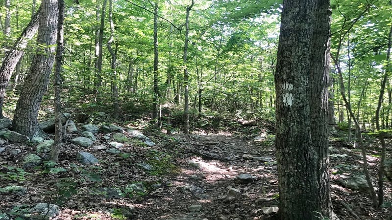
As you continue along, you’ll reach a T-intersection at the .75-mile mark. This connects the Wagon Road Trail with the short, easy trail.
This trail leads in from the small parking lot on the right. Turn left and keep hiking on to the Woodstock Tower.
It’s worth noting here that while there is no cell service in the parking lot, you quickly re-gain service as you set off on this trail.
By the time I reached the lookout tower I had four bars. I generally had at least three bars most of the way to the top.
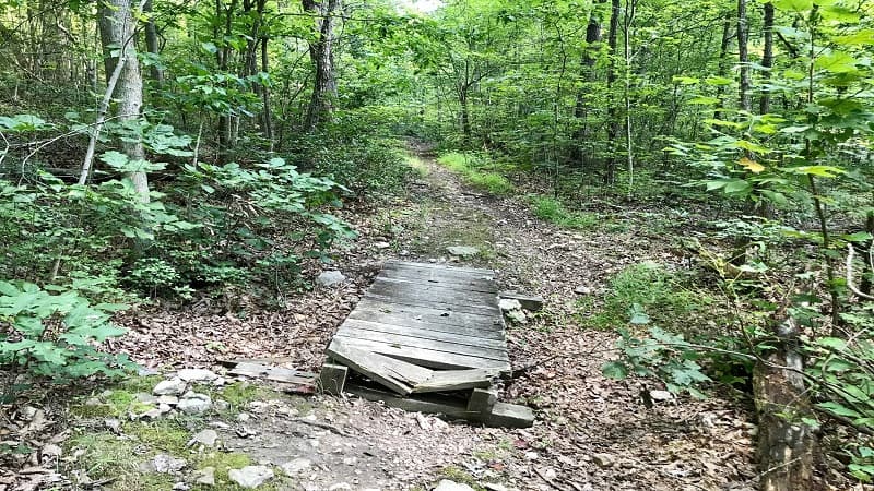
As you continue along, you’ll ascend five or six stone steps, then another five or six stone steps as you close in on the fire tower.
Woodstock Tower
The trail at this point is mostly flat and gravel. Once you reach the Woodstock Tower, there are 44 steps to the viewing platform.
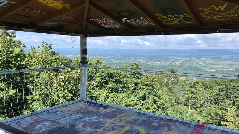
The views are far-reaching and beautiful. You will be glad you climbed to the top of the tower. For Pokemon GO players, there’s a PokeStop at Woodstock Tower.
Since this is an out-and-back hike, simply re-trace your steps back to your car at the campground.
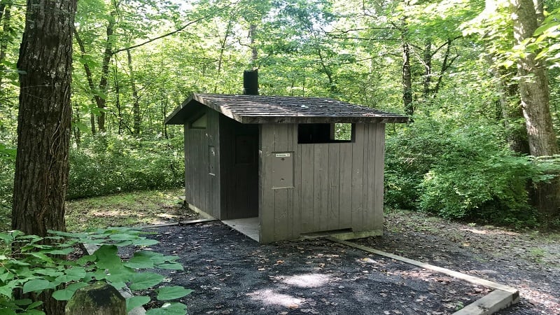
Once you reach the trail sign, there is a vault toilet about 60 steps away on the right. Bring hand sanitizer. It’s just a toilet. There is no sink or hand soap.
Hike Option
If you arrive at the campground and can’t find the trailhead or you decide this trail isn’t for you, there is an opportunity to savor the views from the fire tower.
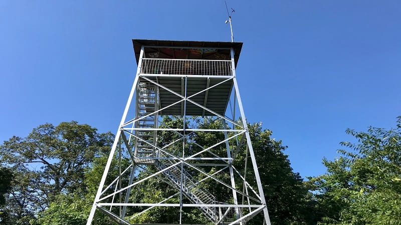
Here’s what you do. Turn your car around to exit the campground. When you reach Woodstock Tower Road at the exit, turn left.
In 1.25 miles you will see a small parking lot on the right and a trailhead on the left. This flat trail will take you to the Woodstock Tower.
It’s no more than a .25-mile walk (one-way). This is the trail that intersects with Wagon Road Trail as you close in on the fire tower.
Wrap-Up Notes
It took me under an hour to hike this 1.7-mile trail, enjoy the views and re-trace my steps. When you’re ready to leave, return down Woodstock Tower Road.
Pass Little Fort Campground. Pass Fort Valley Road. From here, you can get wherever you need to go.
When I arrived at Little Fort Campground, I came in the other way on Woodstock Tower Road. It is the most narrow, winding drive.
It was a harrowing experience and one I hope not to repeat on the way to hike to the Woodstock Observation Tower.
If you have time, make the short 25-minute drive to Seven Bends State Park in the Shenandoah Valley town of Woodstock.
Seven Bends is one of the the newest Virginia state parks. There are several trails with views, as well as access to the North Fork of the Shenandoah River.

Erin Gifford has completed more than 300 hikes in Virginia. She is also the author of three hiking guidebooks from Falcon Guides. Need help finding a hike? Check out the Trail Finder feature or send Erin an email at [email protected].


