Woodstock’s Seven Bends State Park: What to Know Before You Go
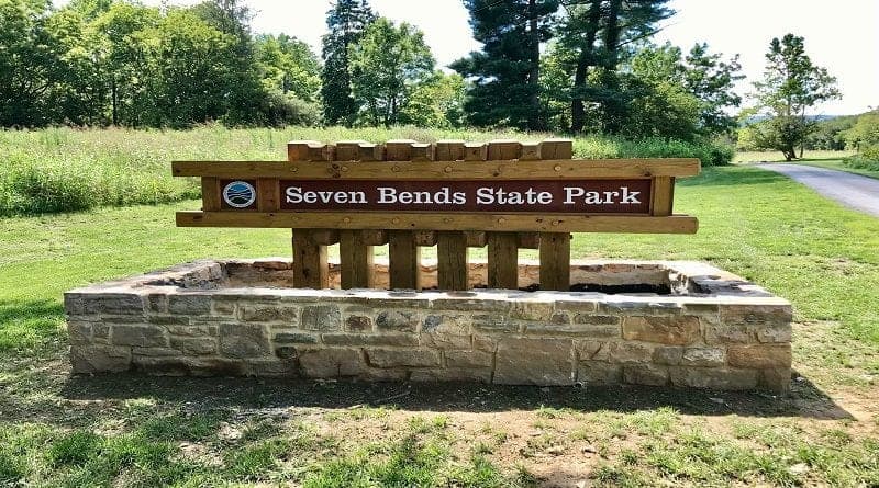
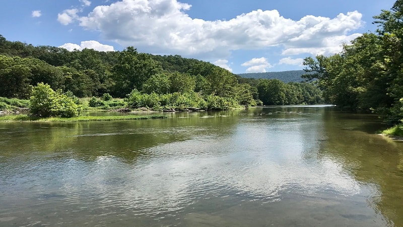
Seven Bends State Park is a 1,052-acre park in Woodstock, Virginia. This scenic day-use park sits adjacent to the North Fork of the Shenandoah River.
Located in Shenandoah County, Seven Bends State Park opened in late-2019. There are 10 hiking trails, as well as two carry boat launches and picnic areas.
There are no cabins or campgrounds at this state park, but you will find a gram-worthy LOVE sign and lots and lots of corn stalks along the trails.
Seven Bends State Park
There are two entrances to Seven Bends State Park: Lupton Road and Hollingsworth Road. Unfortunately, the two roads do not connect inside the park.
The official park address is 2111 South Hollingsworth Road, Woodstock. This entry point allows direct access to the Bass Bight Trail and the Pawpaw Hollow Trail.
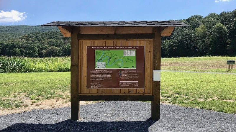
For the Lupton Road entrance, which offers direct access to the Gokotta Trail and Eagles Edge Trail, map to 1191 Lupton Road, Woodstock.
As you get closer to the park, you’ll see signs to follow for Lupton or Hollingsworth access to help guide you to the park entrances.
Lupton Road Entrance
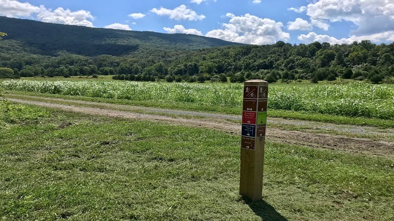
If you go to the Lupton Road entrance, you’ll see a parking lot on the right and trailheads on either side.
The Eagles Edge Trail begins on the right, while the Gokotta Trail sets off on the left. There are also picnic tables adjacent to the parking lot.
A set of wooden stairs leads to an access point for boats and visitors eager to get into the refreshingly cool waters of the Shenandoah River.
When I was there, a family was lazing the day away on the shores. The kids had their floats for splashing and swimming in the water (well, mostly splashing).
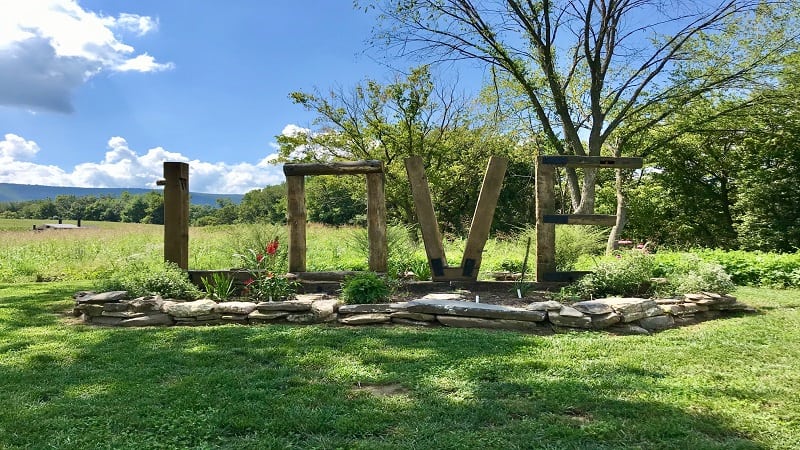
Continue on Lupton Road and a wooden LOVE sign appears on the right.
There’s a second parking lot past the LOVE sign. This one has a restroom (vault toilets) and a family picnic shelter. The road ends here for public access.
Eagles Edge Trail
The one-mile Eagles Edge Trail begins at the back of the first parking lot near the Lupton Road entrance.
It’s an easy loop trail that largely guides you along a blue-blazed grass and dirt trail. For much of the hike, corn stalks are on your left, the river is on your right.
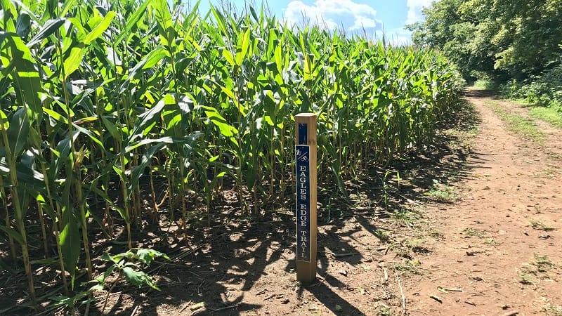
Unfortunately, you’re too high up on the river banks to see much of the river. Still, you can hear the peaceful, refreshing sounds.
Early on this hike, at the 0.1-mile mark, you will see the most adorable, most gram-worthy suspension bridge over the Shenandoah River.
You will make a beeline for this, but sadly, this is not park property. A gate restricts access and a sign warns not to cross.
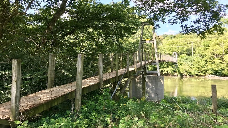
Make a left at the bridge to stay on the path. Continue walking around the cornfield.
You’ll climb a fairly steep section of dirt and gravel. At the top, the trail opens up to an interpretive area.
You’ll see the remains of a river stone fireplace from a camp operated by the Massanutten Military Academy.
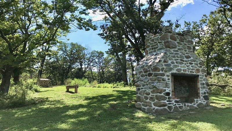
In a few more steps, a working apiary turns up on the left-hand side. In season, the park hosts regular “Talk with a Beekeeper” chats.
You can learn more about where honeybees came from and what hives look like on the inside. You’ll also learn the vital role bees play in our ecosystem.
Once you reach Lupton Road, turn left and walk along the gravel road back to the parking lot. You’ll pass the restrooms and LOVE sign before the end of the hike.
Gokotta Trail
The second trail that you can access from Lupton Road is the 1.7-mile Gokotta Trail. I was curious about the name and looked up its origin.
I learned that “Gökotta” is a Swedish word that means “the act of rising early in the morning to hear the first birds sing in nature.”
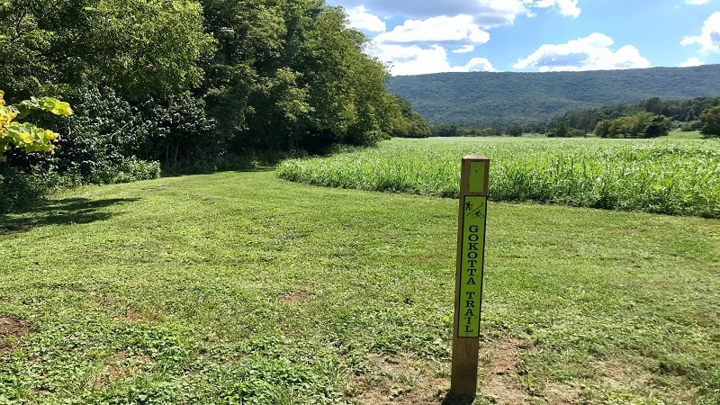
This loop trail begins just across the park road from the parking lot, and yes, there are corn stalks to see on this yellow-blazed trail.
After a few steps on this trail, you’ll see a shaded picnic area if you want to start your hike with lunch or a snack.
The Gokotta Trail begins much like the Eagles Edge Trail, except with the river on the left and tall corn stalks on the right of the walking trail.
The water views are quite pleasant. Keep your eyes open for geese resting and relaxing on the river.
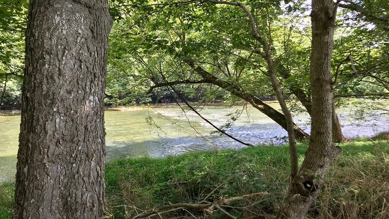
At the 0.8-mile mark, the trail reaches a dead-end at Lupton Road. From here, turn right to walk along the gravel park road to the parking lot.
In another 0.1-mile, the Gokotta Trail connects with the Riverbend Rise Trail. Continue straight for this trail or turn right for the park road.
In another 0.5-mile, you’ll see the restrooms and LOVE sign appear on the left. The first parking lot is only a few short steps from the markers.
Shenandoah River Access
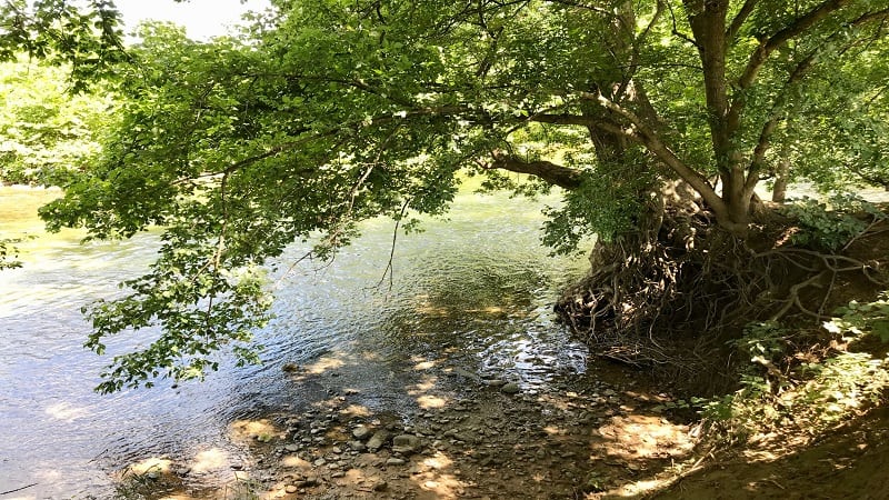
At the front of the first parking lot at the Lupton Road entrance you’ll see a wooden staircase that leads to the banks of the North Fork Shenandoah River.
This area is delightfully scenic and is a nice place to set up a camp chair to lounge for the afternoon.
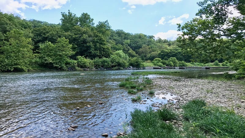
Bring floats, kayaks or stand-up paddleboards to enjoy the relatively slow-moving waters. It’s also a nice place to toss in or skip stones. Highly recommend.
Hollingsworth Road Entrance
Given the official address for Seven Bends State Park is listed as Hollingsworth Road, I thought this would be the more desirable of the two entrances.
I was wrong. Both are nice, but I definitely preferred the Lupton Road section.
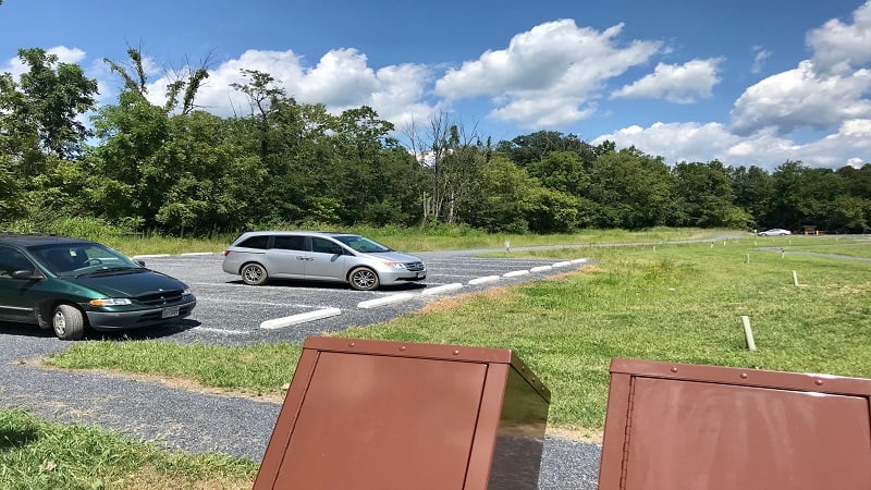
As you drive into the park from the Hollingsworth Road entrance, there’s just one large parking area on the left.
Here you’ll also find a vault toilet, picnic tables and a hand-carry boat launch, as well as the trailhead for one hiking trail (Bass Bight Trail). Oh, and more corn.
While the river access area at Lupton Road includes a rocky beach to splash and play, there’s nothing comparable on the Hollingsworth Road side of the park.
You just walk down the wooden steps, put your watercraft in and that’s all. No swimming or wading allowed at this water access point.
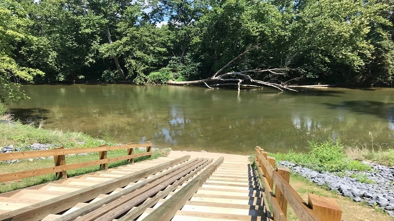
It is worth noting, however, that the Hollingsworth Road boat launch is the preferred drop-off site to put your boat or float in the water.
From here, you can paddle along and take it out at the boat launch area at Lupton Road (though you’ll need to have someone pick you up).
Bass Bight Trail
Honestly, by the time I got to the Hollingsworth Road side of the park and stepped foot on the 1.4-mile Bass Bight Trail, I was kind of done with corn stalks.
But, I pressed on, wanting to complete this out-and-back trail so I could get on the road to return home.
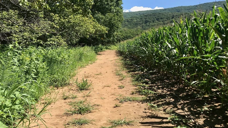
There is no official trailhead for the Bass Bight Trail. It begins just past the boat launch at the back of the parking lot.
From here, you’ll see orange blazes as you proceed on the trail. For much of this trail, the river is on the left, the corn stalks are on the right.
At the 0.35-mile mark, you’ll reach a sign for Hollingsworth Road. Turn left to stay on the trail, then turn left again at the trail marker at the top of the hill.
You can turn right for more mileage by hiking the Pawpaw Hollow Trail. Or, in a few more steps, turn right to stay on the Bass Bight Trail.
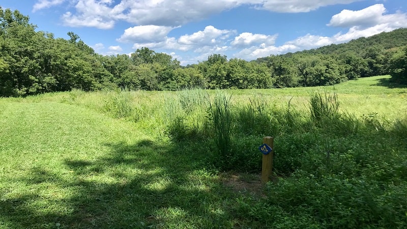
From here on, the trail is basically a mowed section of grass through a large field. It’s quite scenic, but not much of a hiking trail, if you expect more dirt and rocks.
At the 0.7-mile mark, you reach the end of the trail (it loops around at the end), so simply re-trace your steps back to the parking lot.
Wrap-Up Notes
This is a very nice park in Virginia’s Shenandoah Valley, but it still feels very new. There is no visitor center, gift shop or ranger station.
Seven Bends State Park is open daily from 6 am to dusk. Check the park’s events schedule for regular ranger-led walks. The fee is $5/car to access this state park.
If you have time and energy left for another hike, the 1.7-mile out-and-back Woodstock Tower Hike wows with incredible views across the Shenandoah Valley.

Erin Gifford has completed more than 300 hikes in Virginia. She is also the author of three hiking guidebooks from Falcon Guides. Need help finding a hike? Check out the Trail Finder feature or send Erin an email at [email protected].

