Hiking the Tuscarora Trail to Eagle Rock in Frederick County
I’d been eager to hike to Eagle Rock in the Lee District of George Washington National Forest near Star Tannery, Virginia for some time.
This hike was said to be long on views, but without the effort you usually need to put in for gram-worthy views (see Bearfence Rock Scramble).
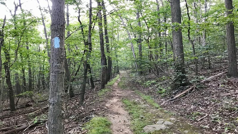
This leafy, shaded hike is lovely, but do note that there is no Eagle Rock Trail.
This 2-mile out-and-back hike is along one northbound section of the 252-mile Tuscarora Trail that passes through Virginia, West Virginia, Maryland and Pennsylvania.
| Trail Stats | |
|---|---|
| Length | 2.0 miles |
| Difficulty | Moderate |
| Trail Type | Out-and-Back |
| Elevation Gain | 390 feet |
| Duration | 1-1.5 hours |
| Terrain | Dirt & rock trails |
| Dog-Friendly | Yes |
| Fee | Free |
| Driving Directions | Click Here |
Arriving at the Trailhead
The drive to the trailhead is relatively straightforward. The last mile along Capon Springs Grade, however, is a bumpy, gravelly trek, so take it slow.
The small parking lot soon turns up on the left. Arrive early since there’s only enough space for a half-dozen cars (maybe).
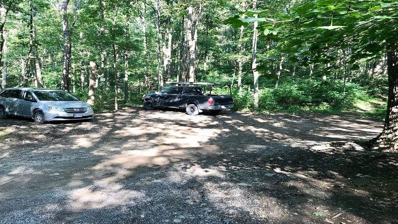
The driving directions above are spot on and thankfully end right at the parking lot. It’s frustrating when it doesn’t work out as perfectly navigation-wise.
The trailhead is just across Capon Springs Grade. It’s very easy to find.
The First Steps
At the trailhead, you’ll see a sign affirming you’re on the Tuscarora Trail and that Eagle Rock is a short hike ahead. The sign lists the distance as .8-mile, but it’s more like 1-mile.
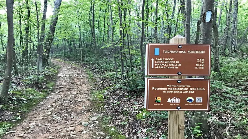
This section of the blue-blazed Tuscarora Trail begins with a gradual incline up a trail made of dirt and mid-sized rocks.
y the .45-mile mark you’ll notice that the trail gets a bit steeper and a few steps further the trail splits (notice the double blue blazes).
Turn right and continue up the hill. It gets more rocky at this point. By the .95-mile mark, you’ll see the first of several rock outcroppings.
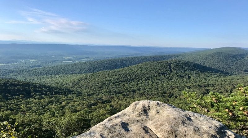
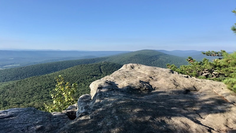
You’ve reached Eagle Rock. Congratulations. I think you’ll agree that the far-reaching mountain views are beyond spectacular.
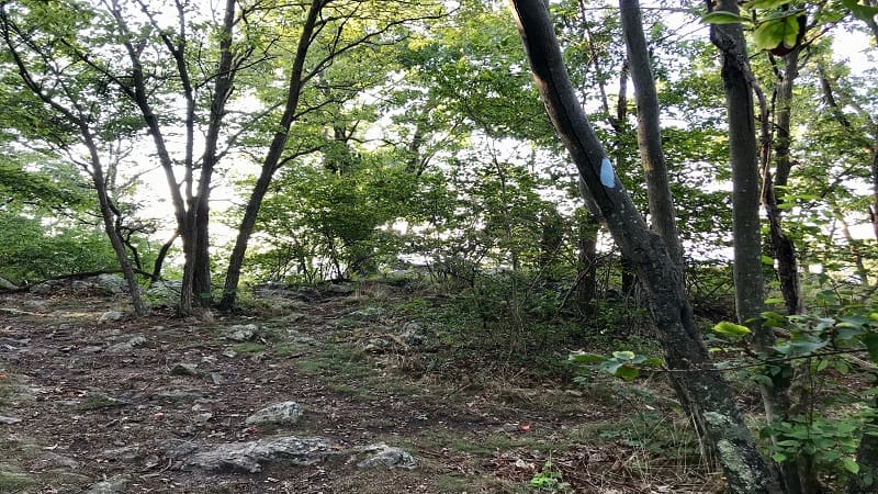
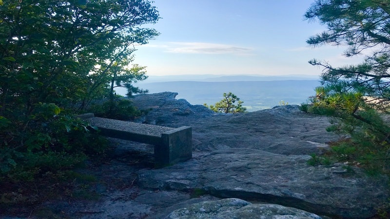
Take your pick of rocks to sit on to re-hydrate or to enjoy a snack. You’ll notice a bench from Capon Springs & Farms at the second or third rock outcropping.
The bench looks very heavy, so I had to wonder how they got the bench to that viewpoint. Yowza.
The views from each of the overlooks face south, and in my opinion, the very best views are from the bench, so take a seat and settle in for a few minutes.
Wrap-Up Notes
It’s worth noting here that if you follow the AllTrails trail map to Eagle Rock, you will end up walking past the scenic rocky overlooks.
The map leads you to believe there is something further, like a better overlook, one-third mile beyond the bench. There is not.
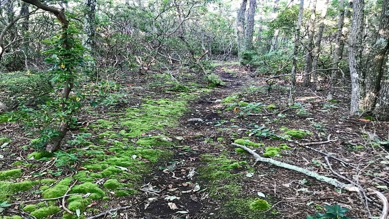
The scenery is nice. The trail turns more green and mossy, but there are no more overlooks. Those are at the 1-mile mark, not the 1.35-mile mark as on the AllTrails map.
It’s also important to note that the Eagle Rock waypoint is not the same as the town of Eagle Rock. This hike with the rock outcropping is in Frederick County, Virginia.
Meanwhile, the town of Eagle Rock is in Botetourt County, Virginia and is home to the much-loved hike to Roaring Run Falls. It can be confusing.
Since this hike is a part of a larger trail, it’s a snap to add on as much or as little extra trail as you’d like to get in the hiking miles you want.
You can’t really shorten it though, unless you don’t want to reach Eagle Rock.

Erin Gifford has completed more than 300 hikes in Virginia. She is also the author of three hiking guidebooks from Falcon Guides. Need help finding a hike? Check out the Trail Finder feature or send Erin an email at [email protected].

