Tinker Cliffs: Hike the Andy Layne Trail to Epic Views in Catawba, Virginia
Tinker Cliffs is one segment of Virginia’s Triple Crown. This hike follows the Andy Layne Trail and Appalachian Trail to the top of Tinker Mountain.
The Tinker Cliffs hike features wooden footbridges, lots of steps, cow pastures, plentiful views and flowing creeks – both Catawba Creek and Little Catawba Creek.
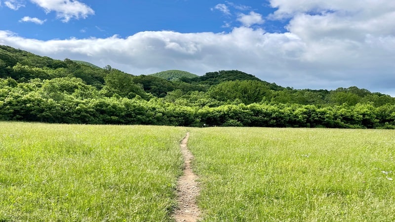
The trailhead for the 8.1-mile out-and-back hike to Tinker Cliffs is located 30 minutes north of Roanoke. It’s within the Andy Layne Trail parking area.
The Virginia Triple Crown also includes the 8.0-mile McAfee Knob hike and the 4.8-mile Dragon’s Tooth hike. All three hikes are wildly scenic.
| Trail Stats | |
|---|---|
| Length | 8.1 miles |
| Difficulty | Moderate |
| Trail Type | Out-and-Back |
| Elevation Gain | 1,995 feet |
| Duration | 4-5 hours |
| Terrain | Mostly dirt & rock trails, some stairs |
| Dog-Friendly | Yes |
| Fee | Free |
| Driving Directions | Click Here |
Andy Layne Trailhead Parking
The hike to Tinker Cliffs (and on to Tinker Mountain, if you like) begins from a small parking lot on Catawba Road. Look for the large sign.
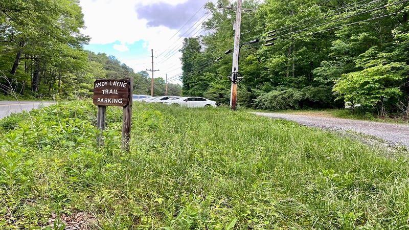
There is room for two dozen cars, but it will be a tight squeeze. I arrived just before 9 am on a Saturday morning and the lot was over half full.
Even then, I felt like I was getting one of the last parking spaces. Yet, when I returned from the hike, there were plenty more cars splayed all across the lot.
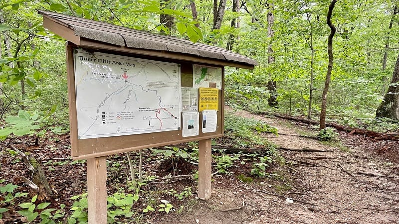
The blue-blazed Andy Layne Trail starts from this lot. You’ll see a super-size trail kiosk with a Tinker Cliffs Area Map, as well as trail rules and resources.
Andy Layne Trail
It’s a 3.0-mile hike on the Andy Layne Trail to reach the Appalachian Trail. You will be walking across private property, so stay on trail.
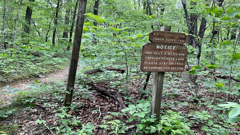
The private land was donated by the adjacent Roanoke Cement Company. You may even hear the rumblings of the cement plant these first few miles.
Your first steps may be muddy, too. This depends on how recently there was a heavy rain. On my hike, the trail was mostly sloppy and mucky.
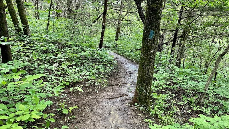
It had just rained the night before. Not much, but it was enough to make for a messy hike. This made all the steps on this hike rather slippery.
Speaking of steps, there are lots and lots of steps on this hike, starting at the 0.2-mile mark when you descend more than four dozen wooden steps.
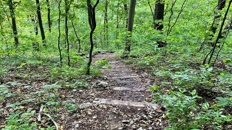
Wooden Footbridges
You’ll then reach the first of two creek crossings at the 0.6-mile mark. A wooden footbridge crosses over gently-flowing Little Catawba Creek.
In a few more steps, you’ll enter a wide-open clearing, then duck back into the woods. At the 0.7-mile mark, you’ll reach the second footbridge.
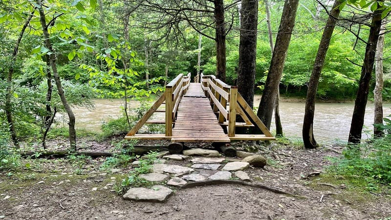
This footbridge guides hikers across Catawba Creek. Use caution on the ramp to descend back onto the blue-blazed trail on the other side.
Keep your eyes open for a cow pasture and cows, too. I first completed this hike in 2020 and spied a few cows cooling off in the refreshing creeks.
Many, Many Steps
You’ll ascend a few steps at the 0.9-mile mark, then the trail is pretty calm and relaxed for a while. A simple walk through the woods.
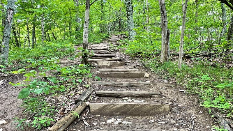
The steps return at the 1.7-mile mark. It’s a steep climb thanks to more than 100 steps. Take a breath, another 60 or so steps follow this section.
At this point, you’re pretty much done with steps. At the 2.1-mile mark, get ready for a half-dozen switchbacks to manage the ascent to Tinker Cliffs.
Continue on and at last you will reach the Appalachian Trail at the 3.0-mile mark. The area where this junction is located is called Scorched Earth Gap.
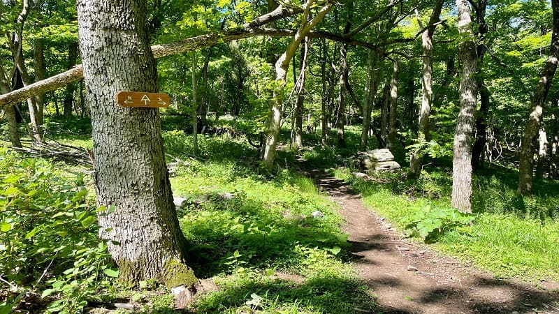
The backstory on the origination of the nickname “Scorched Earth Gap” is absolutely worth a read. Click the link above to Google Books.
Appalachian Trail
At this junction, turn right for a southbound section of the white-blazed Appalachian Trail. You’re now ascending along a ridgeline to Tinker Cliffs.
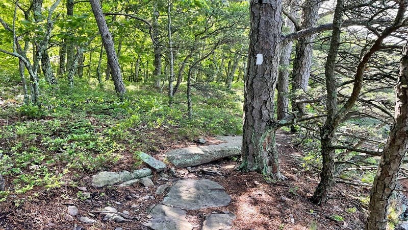
You’ll reach the white cliffs at the 3.5-mile mark, but you are at the bottom of the cliffs, so there’s still more trail to climb to the magnificent views.
In a few more steps, you’ll begin to see rock formations and partially obstructed vistas. No need to jockey for views. Wide-open views are close at hand.
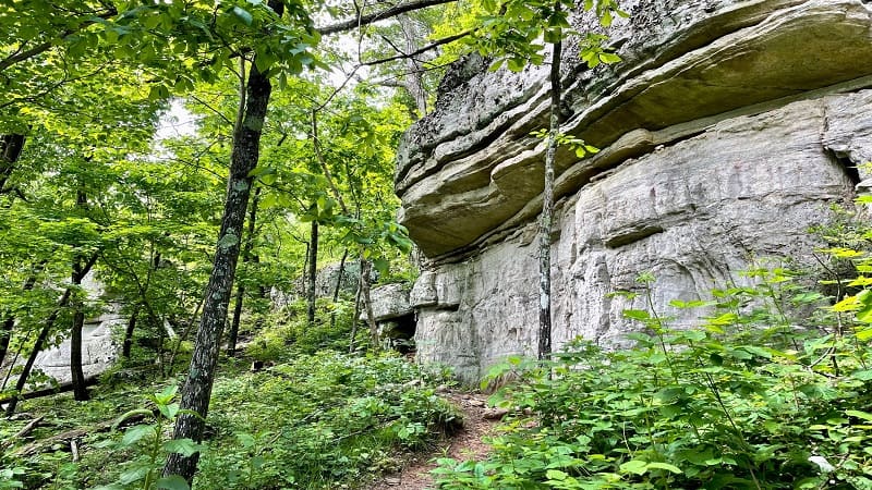
It’s a mild, shaded ascent to the top. Keep following the white blazes and the big vistas across Catawba Valley will shortly open up for you.
Tinker Cliffs
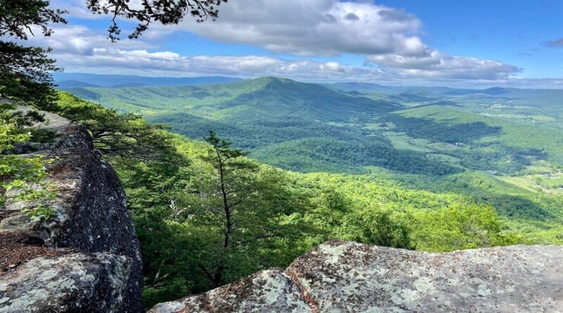
At the 3.8-mile mark, you will arrive at Tinker Cliffs. There is a large rocky outcrop for reveling in the far-reaching views. The vistas are outstanding.
It was not crowded when I arrived – I was the only one there – but if it is crowded, continue past Tinker Cliffs. There are so many open overlooks.
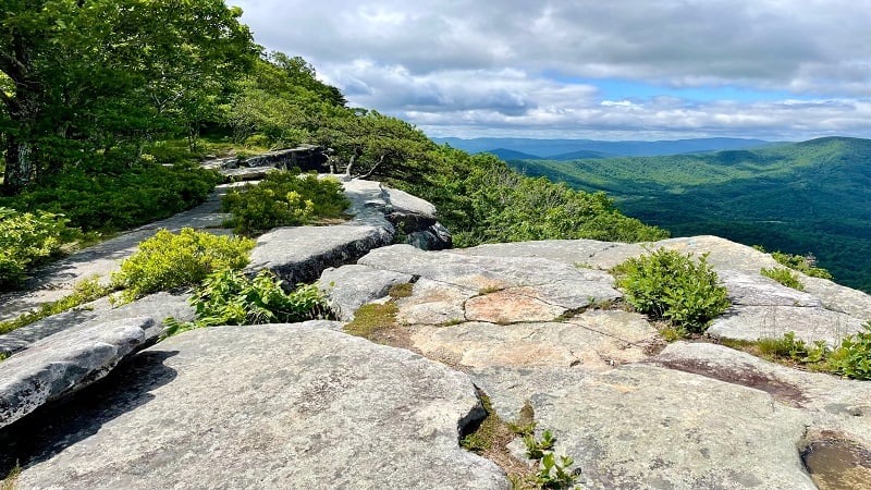
The Appalachian Trail sidles alongside the edge of the bluffs for gorgeous views as you hike. The scenic views are overwhelming and intoxicating.
Rocky overlooks continue for at least 0.2 miles both to and past the summit for Tinker Mountain. At the 3.9-mile mark, I spied the green survey marker.
Tinker Mountain
This geodetic survey marker was placed in 1974 to mark the top of Tinker Mountain as a key survey point for use in map-making.
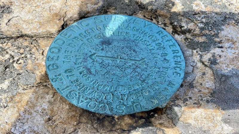
This was only the second time I’d found a survey marker placed by the U.S. National Geodetic Survey (formerly U.S. Coast & Geodetic Survey).
Finding the survey markers is kind of like an extra bonus when completing a summit hike. This one was out on one of the outcrops in full view.
Wander across all the rocky outcrops to catch all the views across the valley. It’s absolutely worth the extra steps. Enjoy a snack break with a view.
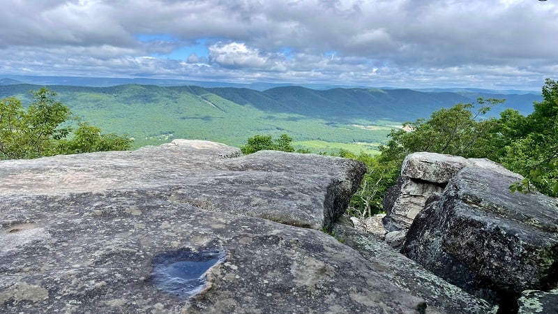
Once you’ve admired all the outstanding views, re-trace your steps to the parking area. Your out-and-back hike is complete at the 8.1-mile mark.
Wrap-Up Notes
From the Tinker Cliffs parking area, my hike time was nearly four hours, including time spent taking photos and shooting video from all the overlooks.
If you want to pair the Tinker Cliffs hike with the McAfee Knob hike, it’s a cinch to do this as a point-to-point hike, which would clock in at 13.4 miles.
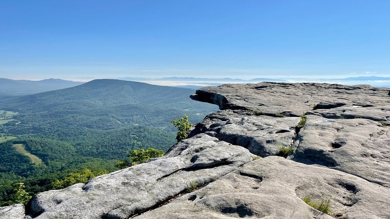
Of course, you’ll need to park cars in the McAfee Knob lot and the Andy Layne lot to make this happen. It’s a good way to check off two great views in one day.
I don’t often complete hikes more than once, but this is one I would do again, even now that I’ve done it twice. The views really are that amazing.
Hiking Options
There are a variety of hiking options for those who want to get in extra steps, even beyond the point-to-point hike with Tinker Cliffs and McAfee Knob.
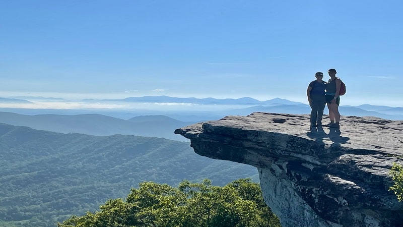
From Tinker Cliffs to McAfee Knob, it’s 5.6 miles. An out-and-back hike from either parking area would be 20 miles. However, there are camping areas.
Camping is not allowed at Tinker Cliffs or McAfee Knob, but there is camping near Tinker Cliffs, at hiker shelters and camp sites along the Appalachian Trail.
The Roanoke Appalachian Trail Club maintains a map that shows where camping is okay and not okay. They also manage this section of the Appalachian Trail.
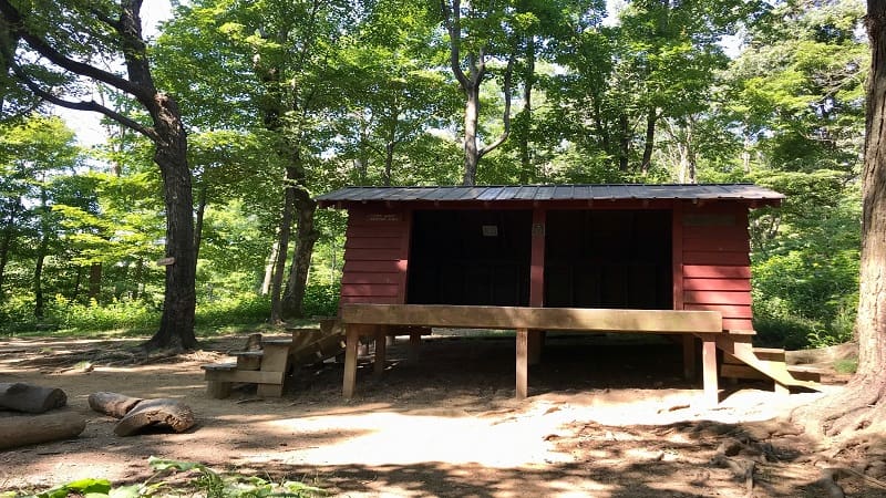
The Pig Farm Campsite and Campbell Shelter are less than one mile north of McAfee Knob. There are also two shelters and sites south of McAfee Knob.
One more option for a long hike is to hike to Hay Rock, then from Hay Rock to Tinker Cliffs. This out-and-back hike clocks in at 21 miles round trip.
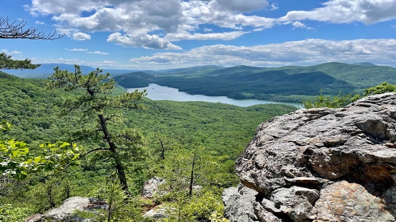
This hike includes scenic views across Carvins Cove Reservoir. Bed down at the Lamberts Meadow Shelter between Hay Rock and Tinker Cliffs.
To see the Tinker Cliffs hike, take a look at this short video I created when I hiked to Tinker Cliffs. For more steps, check out the Virginia Triple Crown.

Erin Gifford has completed more than 300 hikes in Virginia. She is also the author of three hiking guidebooks from Falcon Guides. Need help finding a hike? Check out the Trail Finder feature or send Erin an email at [email protected].

