The Priest Hike: Seek Forgiveness on this Summit Hike Near the Blue Ridge Parkway in Virginia
The Priest hike near Tyro, Virginia is a strenuous 9.0-mile out-and-back hike with an elevation gain of more than 3,000 feet. It’s a tough climb, but rewarding, too.
Set in The Priest Wilderness of the George Washington National Forest, Priest Mountain has an elevation of 4,063 feet. It is the highest point in Nelson County.
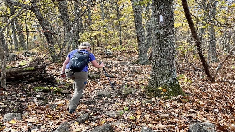
I hiked with a friend and it was uphill almost all the way to the summit. The entire hike is on a southbound stretch of the white-blazed Appalachian Trail in Virginia.
Before hiking Priest Mountain, I’d only tackled one other hike with such an elevation gain. That was Three Ridges. This is a tough hike, but oh, the views.
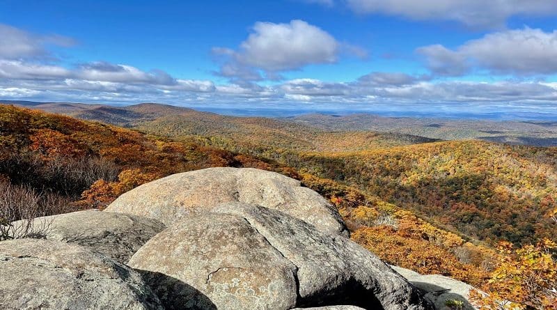
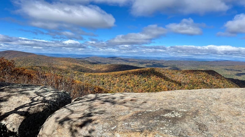
In fact, the view from the top of Priest Mountain in late-fall made the cover of my third hiking guidebook, Virginia Summits. It’s that beautiful.
| Trail Stats | |
|---|---|
| Length | 9.0 miles |
| Difficulty | Strenuous |
| Trail Type | Out-and-Back |
| Elevation Gain | 3,169 feet |
| Duration | 6-7 hours |
| Terrain | Mostly dirt & rock trails |
| Dog-Friendly | Yes |
| Fee | Free |
| Driving Directions | Click Here |
The Priest Hike
The trail head for the Priest hike is located in the northwest corner of the parking lot on Crabtree Falls Highway (State Route 56).
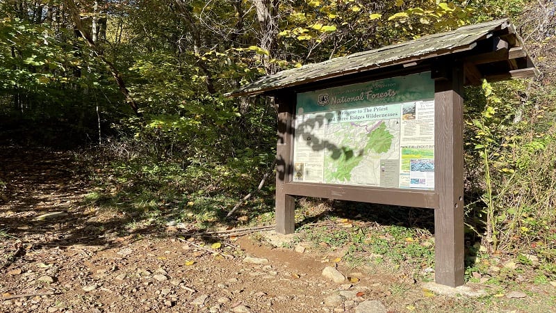
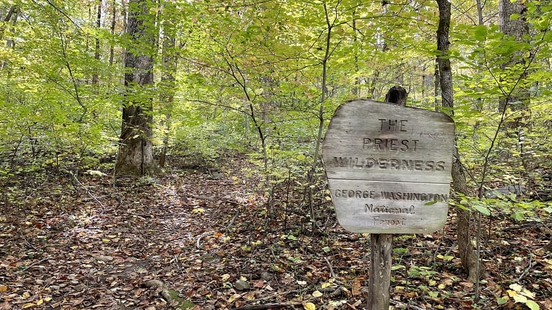
You will see a large trail kiosk with a map and a welcome to The Priest and Three Ridges Wilderness. State Route 56 cuts between the two wilderness areas.
The trail gently ascends through a leafy, shaded forest. Burbling Cripple Creek is on your left as you slowly hike along this forested section of trail.
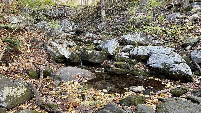
At the 1.3-mile mark, stay alert. You will cross over Cripple Creek, but then a sharp switchback leads the trail to the left. It can be easy to miss this switchback.
Speaking of switchbacks, you will encounter more than 30 switchbacks over the course of this challenging hike on the Appalachian Trail.
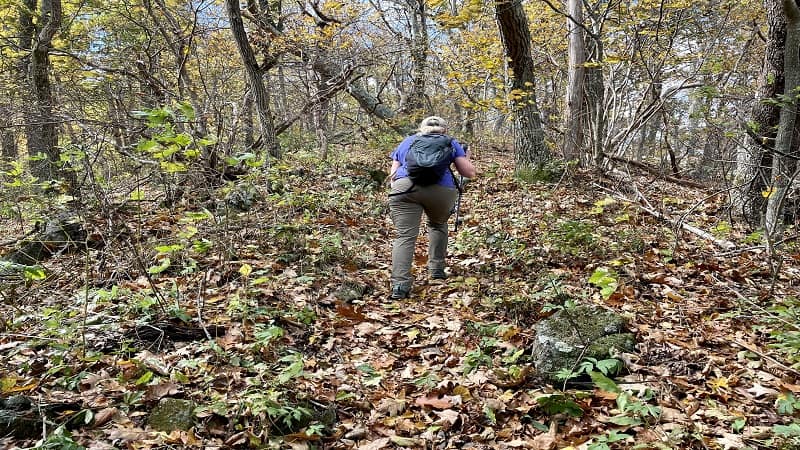
There are a lot of switchbacks, but the switchbacks make the elevation gain manageable. This hike would be a much more steep climb without them.
All of the switchbacks are over a two mile section from the 1.3-mile mark to the 3.3-mile mark. Also, get ready for a huge payoff reward at the 2.7-mile mark.
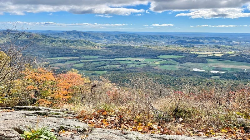
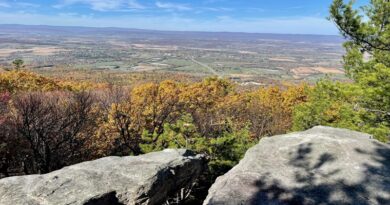
At this mid-way point, you will arrive at a rocky outcrop with wide-open southeast-facing views. It’s a great place to stop for a much-deserved snack and water break.
Big Mountain Views
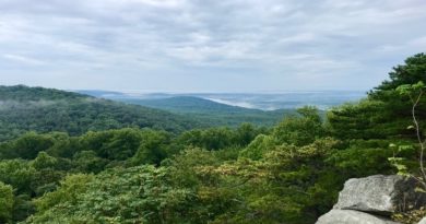
Savor mountain vistas (including Three Ridges), as well as views of open green spaces and orchards. Then, gear up for the final ascent to the top of The Priest.
Some reviewers have called the ascent unwavering or merciless. That’s a good description as you just keep climbing. It’s truly the ultimate hill workout.
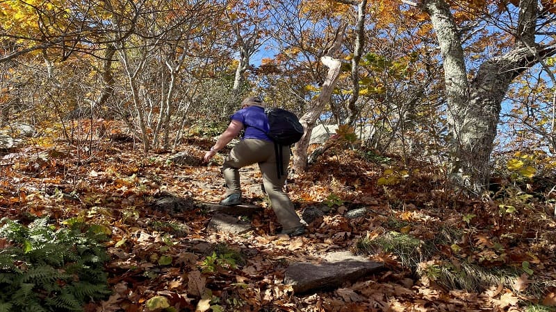
The grade is rarely over 15% until you reach the 3.7-mile mark. At this point, the hikers in your party (or maybe just you) may get very quiet.
For the next 0.4 miles of the hike, the grade runs 20-25%. You will just want to reach the Priest Summit. This is one of a few very steep sections on this hike.
At the 4.1-mile mark, the trail levels out. It’s very flat. In a few more steps, you will reach, then pass, the marker for The Priest on the AllTrails map. Yikes.
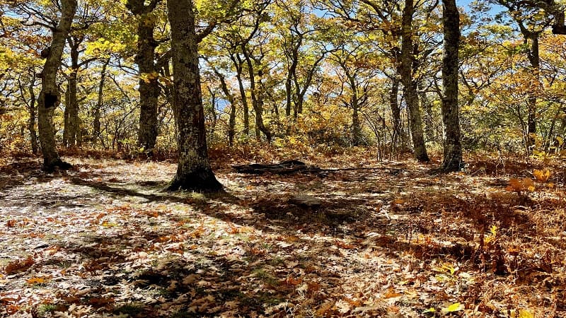
At this point, we got worried. Seriously, where is the Priest’s summit? There are no open views. We saw nothing. We tried to remain calm and patient.
At the 4.5-mile mark, we reached a spur trail on the right that led to some very nice views (false summit), but we knew there had to be something more.
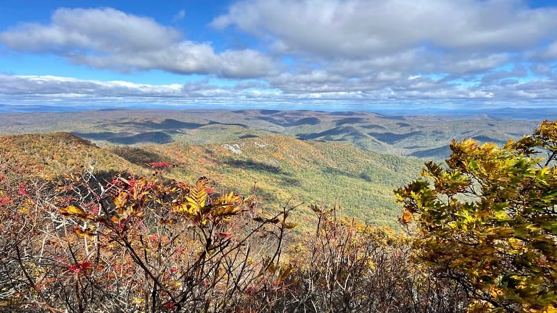
We continued on, walking through several primitive camp sites before arriving at large boulders and a very beautiful summit. Ahh, it was worth all of our efforts.
Savor all the views and begin your descent from the high point for the return journey to the base of The Priest when you are ready to finish this hike.
The Priest Hike Parking
The parking lot for The Priest hike is located on State Route 56. It’s a mid-size lot near the Blue Ridge Parkway has room for 15 or so cars.

Post-hike, I highly recommend crossing over the scenic byway and picking up the northbound section of the Appalachian Trail.
In a few steps, you will reach the Tye River and a wooden suspension bridge. On either side, you can walk down to the flowing waters for a snack break.
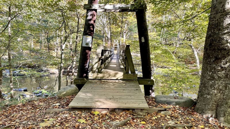
You are now in Three Ridges Wilderness. From here, you can continue on the Appalachian Trail to reach Chimney Rock, Three Ridges and Bee Mountain.
The Priest Hike Options
In case an elevation gain of 3,000+ feet is not enough for one day (or one weekend), there are a variety of wildly scenic ways to add on to this hike.
#1: Crabtree Falls + The Priest
I suggest tackling this as a point-to-point hike, which requires two cars. Park a car at the Crabtree Falls Day Use Area and a car at The Priest parking area.
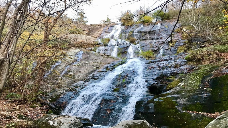
Hike to the top of Crabtree Falls by way of the Crabtree Falls Trail. It’s 1.7 miles to the top for views across the Blue Ridge Mountains and Tye River Valley.
Continue 1.3 miles south along Crabtree Creek to the Crabtree Meadows parking area. Turn left on Meadows Lane and continue on to the Appalachian Trail.
Turn left onto the northbound Appalachian Trail. You will reach the summit of The Priest in 1.2 miles. From here, it’s 4.5 miles to The Priest parking area.
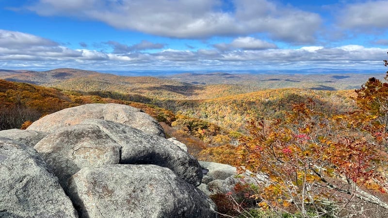
Keep your eyes open on the way to the summit. A short spur trail is about 0.25-miles from the summit and leads to the Priest Shelter on the Appalachian Trail.
This hike option clocks in at around 9.0-miles, the same distance as The Priest alone as an out-and-back hike. With the Priest Shelter, the hike is 9.5 miles.
#2: The Priest + Spy Rock
For this out-and-back hike, start at The Priest parking area. It’s a 4.5-mile hike to the summit of The Priest. From here, continue on the Appalachian Trail.
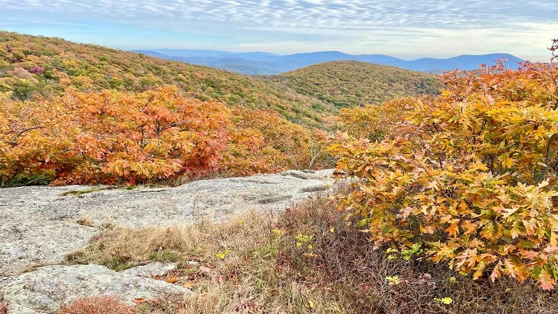
In 1.2 miles, you will reach gravelly Meadows Lane. Continue 0.6 miles on the gravel road. You will pass the parking area on your right, but keep walking.
At the trailhead for the Spy Rock hike, turn left then walk 0.5 miles. Turn right at the Appalachian Trail, then 2.2 miles until the blue-blazed trail for Spy Rock.
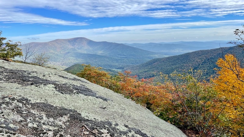
Turn left and you will continue 0.2 miles until you scramble to the top of Spy Rock for 360-degree views across the Blue Ridge Mountains. It is gorgeous.
From here, re-trace your steps to The Priest parking area for a 18-mile hike. That’s a long day, but there is another (slightly) shorter option.
For a point-to-point hike, park one car at The Priest parking area and one car at the Crabtree Meadows parking area.
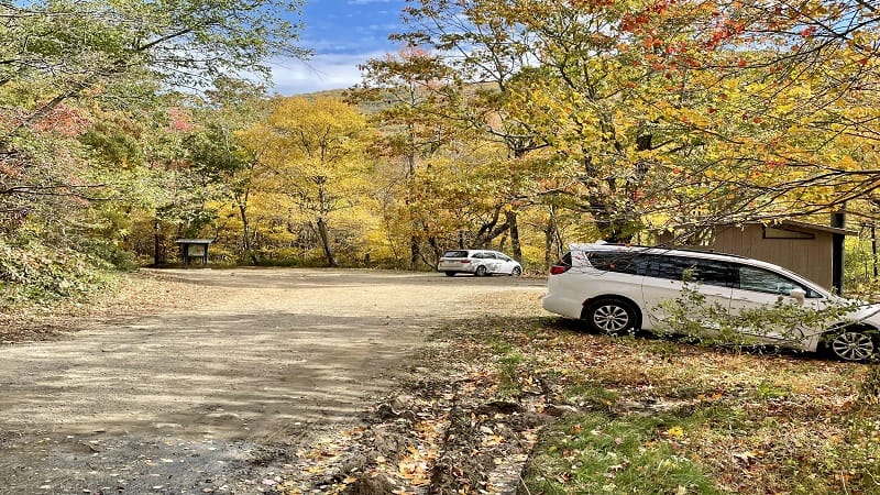
A one-way hike that includes The Priest and Spy Rock is 8.0 miles. From Spy Rock, re-trace your steps on the Appalachian Trail.
At the 10.5-mile mark, turn left onto a blue-blazed Spy Rock Trail. At the 11.0-mile mark, turn right onto gravelly Meadows Lane.
From here, it’s a .6-mile walk to the Crabtree Meadows parking area. This makes for a more manageable 11.6-mile point-to-point hike.
#3: The Priest + Pinnacle Rocks
For this last one, I suggest a point-to-point hike. Park one car at The Priest parking area and one car at the Crabtree Meadows parking area.
Hike to the summit of The Priest, then continue on the Appalachian Trail until you reach Meadows Lane at the 5.7-mile mark.
Turn right onto Meadows Lane. You will shortly reach a large primitive camp site on the right. Beyond the camping area you’ll see three large rocks.
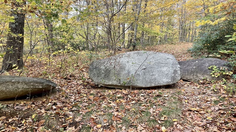
An unmarked hiking trail (likely a one-time fire road) leads to Pinnacle Rocks. If you reach Crabtree Meadows, you missed the trail.
The trail is rather ill-defined, but don’t let this deter you. This 1.8-mile hike (one-way) leads to Pinnacle Rocks and spectacular mountain views. Highly recommend.
Re-trace your steps to the primitive camp site, then turn right onto Meadows Lane. From here, it’s a 0.2-mile walk to the Crabtree Meadows parking area.
As a point-to-point hike, this option clocks in at around 10 miles.
Wrap-Up Notes
The Priest hike took us nearly 5.5 hours, including time spent snacking at the first overlook and ogling all the views from one of Virginia’s highest peaks.
Despite an overall elevation gain of 3,169 feet, I did not feel like the climb was terrible. It was a slow, gradual climb and the switchbacks made it manageable.
That noted, however, it is still quite a steep hike and you may be well-served to have at least one hiking pole on the way down.
Eager to step foot on more scenic trails after hiking The Priest? Check out my list of the 15 Hardest Hikes in Virginia, all of which are incredible hikes.

Erin Gifford has completed more than 300 hikes in Virginia. She is also the author of three hiking guidebooks from Falcon Guides. Need help finding a hike? Check out the Trail Finder feature or send Erin an email at [email protected].

