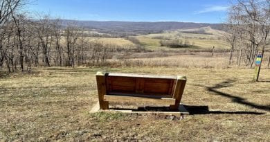
Smith Mountain Lake: 3 Short Hikes with Stunning Lake Views
Smith Mountain Lake may be better known as a go-to destination for water sports, like kayaking, jet skiing and wake boarding, but there’s great hiking, too.
This man-made lake – the second largest of all the lakes in Virginia – has more than 500 miles of shoreline. This means that there are plenty of hiking trails.
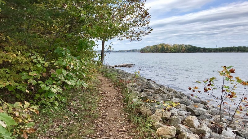
This pristine lake is the centerpiece of Smith Mountain Lake State Park. There are peaceful coves and waterways, but also more than a dozen blazed trails.
The majority of your steps will be on multi-use park trails with names like Turtle Island and Walton Creek. You will be wowed by delightful water views.

If you’re considering a getaway to Smith Mountain Lake, here are three hikes to check off while at the park. When you’re not out on the water, of course.
#1: Chestnut Ridge Trail
This 1.7-mile hike has a little bit of everything for forest-loving hikers. It’s a loop, it’s a lollipop, it’s an out-and-back hike.
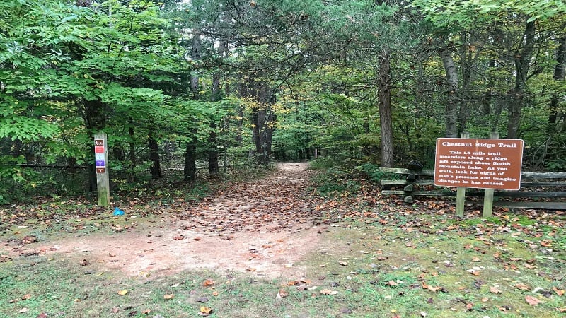
Like every trail in this state park, the Chestnut Ridge Trail is also a multi-use trail that can be used by hikers and mountain bikers.
Thankfully, the mostly dirt and tree root trails are wide enough to accommodate those on foot, as well as those on two wheels.
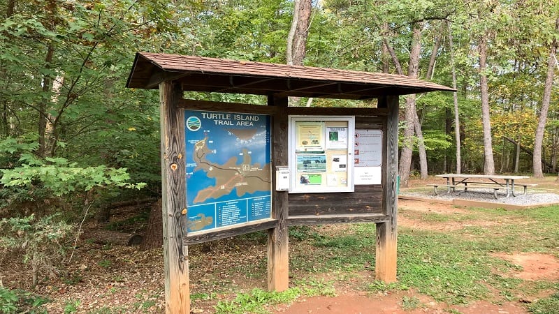
The red-blazed Chestnut Ridge Trail begins just across the street from the parking lot for the Turtle Island Trail Area (note the large kiosk).
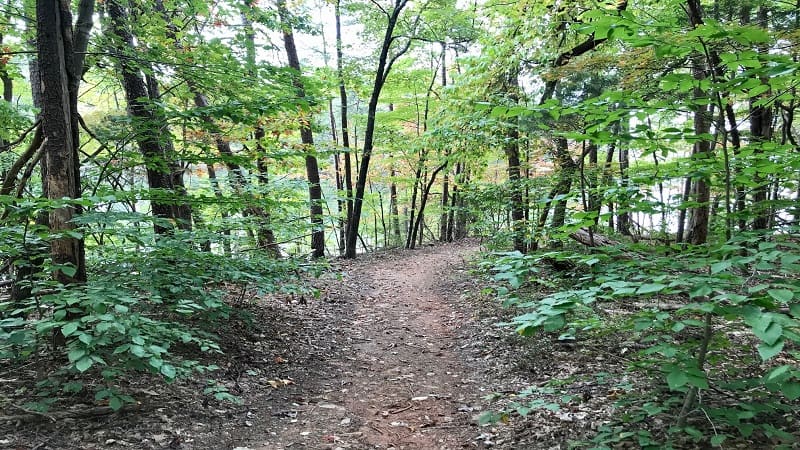
After a few steps on this leafy trail you’ll reach a trail sign. Turn left here to begin your exploration of this peninsula that juts out into Smith Mountain Lake.
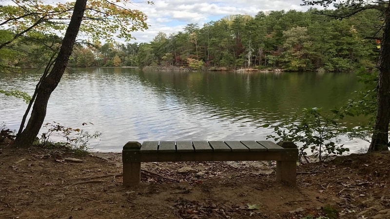
At the 0.15-mile mark, you’ll see a wooden bench on the left. Then, at the 0.4-mile mark, you’ll reach an intersection.
Continue straight ahead. Near the .5-mile mark, you’ll see a bench on the right that’s a perfect spot for gazing out into the water.
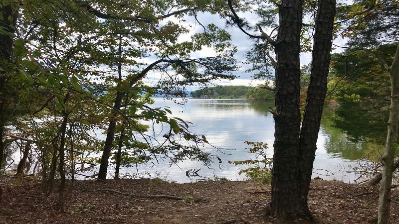
In a few more steps, there’s a bench on the left, then a bench on the right. It’s nice to have so many spots to enjoy the water from dry land.
At the 0.65-mile mark, the trail splits. This is a loop that allows you to enjoy the furthest reaches of the small peninsula. You can go right or left here.
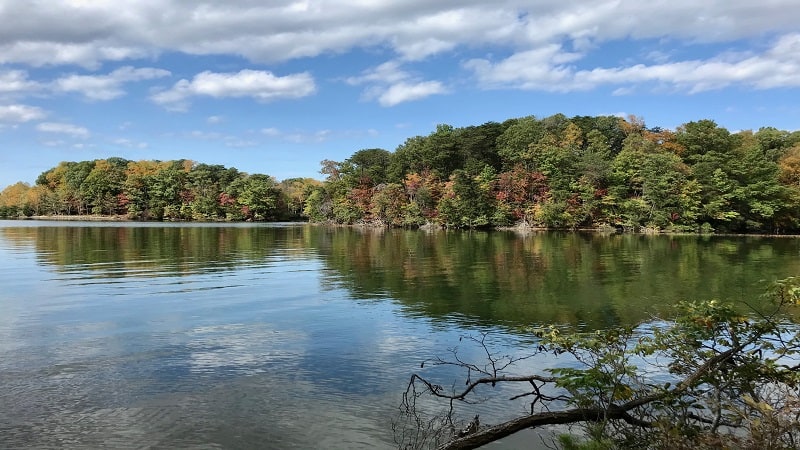
The tip of the peninsula wows with lake views, but also scenic vistas of the Blue Ridge Mountains to the south. Close the loop at the 0.9-mile mark.
At the 1.2-mile mark, turn left for a bench overlooking the lake. It’s not far now to the end of the trail. At the 1.6-mile mark, turn left for the parking lot.
#2: Turtle Island Trail
On the same side of the parking area is the 1.4-mile Turtle Island Trail. Begin your hike along this green-blazed trail by turning right at the small trail sign.
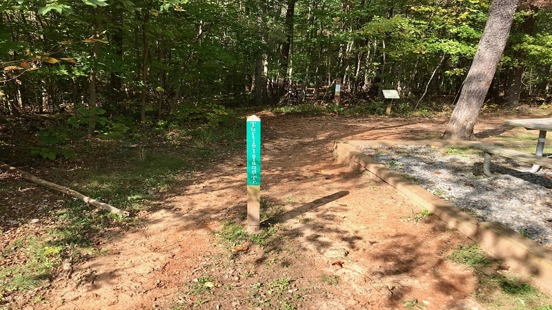
From here, you’ll see placards along the way that guide you through this forest of pine woods and mixed hardwoods.
You’ll also learn how abandoned fields transformed into a wooded forest over the course of 125 years. Signs identify trees like sycamores and black walnuts.

Near the 0.45-mile mark you’ll reach a bench, then another bench closer to the water at the 0.5-mile mark. In a few more steps, a T-junction. Turn right.
Before you reach Turtle Island, there’s a small beach area. Then, in a few more steps, cross over a delightful wooden bridge to Turtle Island.
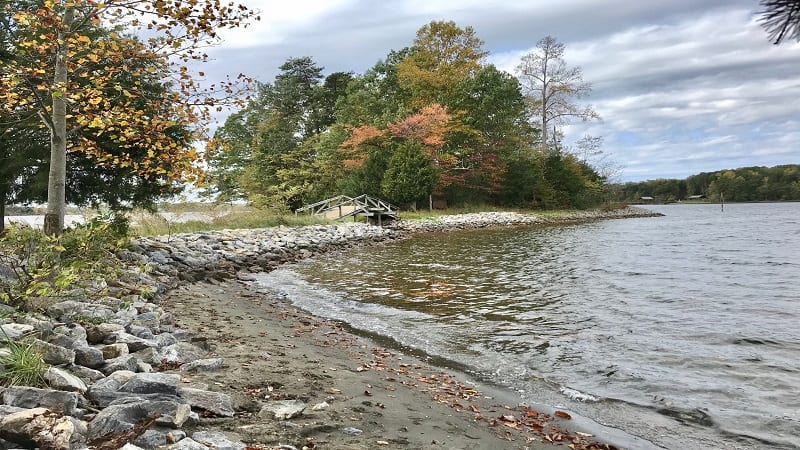
A short path outlines the perimeter of the island. There is also a very short, shaded trail that bisects Turtle Island.
To complete this hike, cross back over the wooden bridge. At the 0.8-mile mark, you will again reach the T-junction. This time, proceed straight ahead.
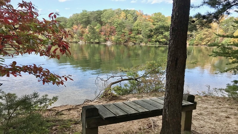
Before you finish this hike, look for a short spur trail on the right at the 1.25-mile mark. There’s a nice bench that sits right up against the lake.
From here, continue on the green-blazed trail up a modest hill to the parking lot.
#3: Osprey Point Trail
For those eager for a leg-stretcher hike, look to the 0.9-mile out-and-back Osprey Point Trail. This forest green-blazed trail is steps from the swimming beach.
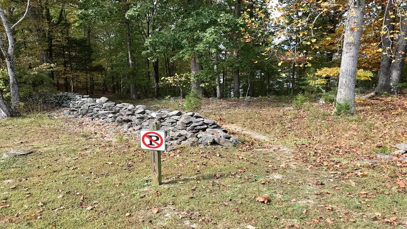
Interestingly, there is no trail sign at the trailhead, so look for the no parking sign just across from the parking area. This is where the trail begins.
After the first few steps, turn left for the Osprey Point Trail. If you were to turn right, you would pick up the 1.3-mile (one-way) Walton Creek Trail.
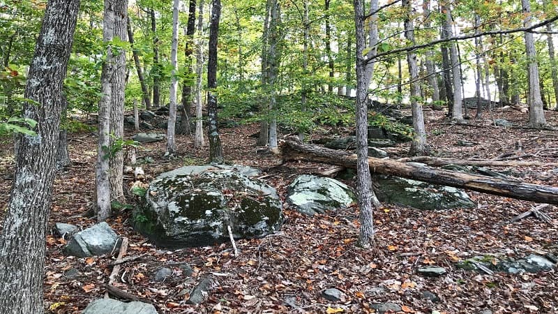
The Osprey Point Trail is billed as ideal for rock hounds thanks to igneous rock formations that line this hiking trail on the left-hand side.
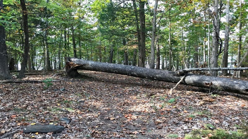
Near the 0.2-mile mark, kids will love the massive downed tree. Go over, under or around. In a few more steps, look for a small beach area.
The trail ends near the 0.5-mile mark. Honestly, this is the only time I saw a trail marker, though I did see some forest green blazes.
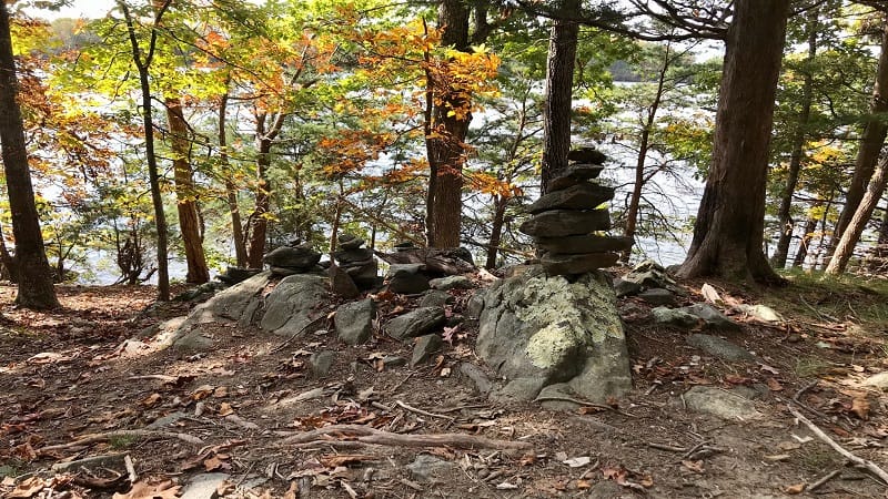
At the end, there’s a sign saying it’s the end of the trail, then a double green blaze, then closer to the water some rock cairns to really let you know this trail is done.
Once finished with this short hike, head to the swimming beach or enjoy the small playground that’s adjacent to the parking area.
Wrap-Up Notes
The hikes around Smith Mountain Lake are short and sweet. The vast majority of the hikes are under two miles, which are ideal for those eager for a lake break.
Another popular hike here is the 3.4-mile Buck Run Trail. This hike shares a trailhead with the Chestnut Ridge Trail.
Eager for more steps on a nearby hiking trail? Check out Smith Mountain Lake Community Park, which is just across the lake in Moneta, Virginia.

Erin Gifford has completed more than 300 hikes in Virginia. She is also the author of three hiking guidebooks from Falcon Guides. Need help finding a hike? Check out the Trail Finder feature or send Erin an email at [email protected].


