Osmanthus Trail: An Easy Hike Across a Cypress Swamp in Virginia Beach
I hiked the Osmanthus Trail at First Landing State Park in Virginia Beach twice over the summer. This is rare since I almost never hike the same trail twice.
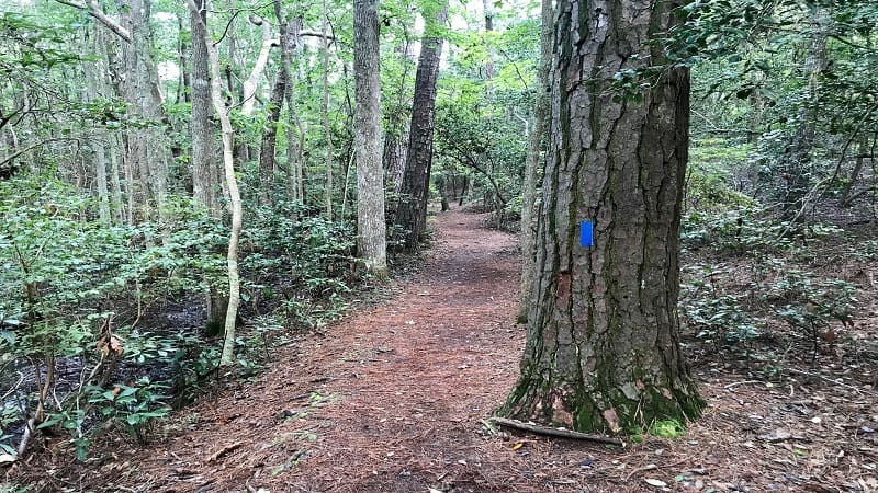
This easy 3.2-mile loop is a shady, forested trail that guides visitors over crushed pine needles, across wooden boardwalks and over freshwater cypress swamps.
On this coastal hike, you’ll feel miles from the sandy shoreline for which Virginia Beach is known. Yet, the gentle cerulean waves are just across Shore Drive.
The Trail Center, where many of the park’s trails originate, is on the south side of Shore Drive. The visitor center, camp store and sandy beach are on the north side.
| Trail Stats | |
|---|---|
| Length | 3.2 miles |
| Difficulty | Easy |
| Trail Type | Loop |
| Elevation Gain | 23 feet |
| Duration | 1.5-2 hours |
| Terrain | Mostly sand & gravel trails, plus wooden bridges |
| Dog-Friendly | Yes |
| Fee | $7 per vehicle weekdays ($10 per vehicle weekends, Apr-Oct) |
| Driving Directions | Click Here |
First Landing State Park
The parking lot at the Trail Center is large, but it can fill up quickly, especially on weekends. The park trails are popular among hikers and trail runners.
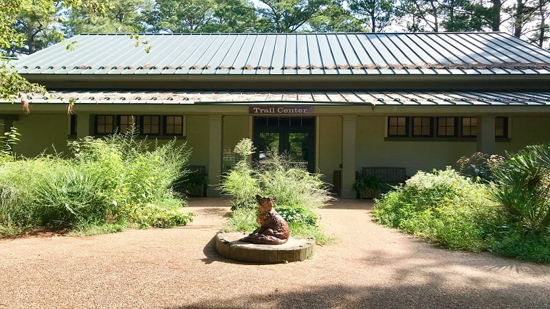
If this lot is full, cross Shore Drive to park in the beach access lot. It’s a bit of a walk to the Trail Center, but this is why I suggest you arrive early to hike.
Osmanthus Trail
The Osmanthus Trail and Bald Cypress Trail share a trailhead to the right of the Trail Center. But first, check out the Kids in Parks brochures, if you have kids.
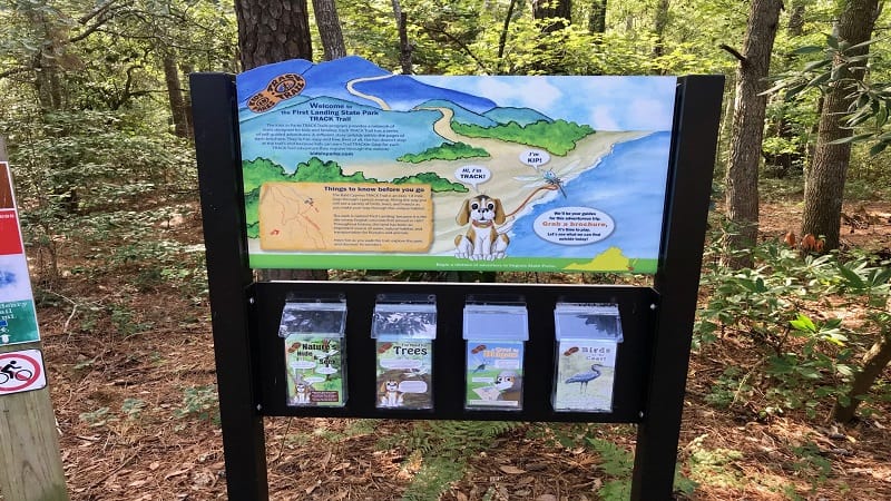
There are four different adventures, including Nature’s Hide & Seek, a picture-laden brochure with flora and fauna to find on the hike.
Cross the wooden bridge over a cypress swamp teeming with curious bald cypress trees. Once across the bridge, turn left at the trail sign at a T-intersection.
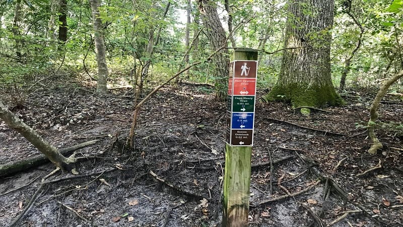
In a few steps, a scenic overlook appears on the right, providing an opportunity to ogle the mysterious bald cypress trees that sprout out of the water.
At the .35-mile mark, you’ll reach a fork on this mostly dirt, sand and fine gravel trail. Veer left for the blue-blazed Osmanthus Trail.
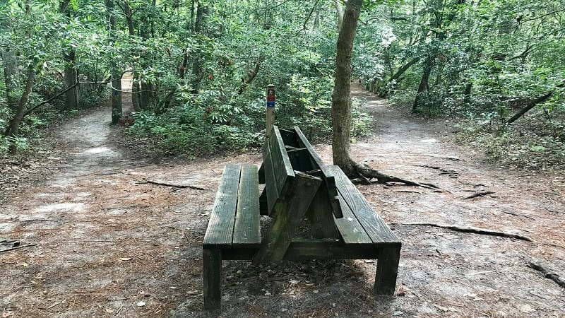
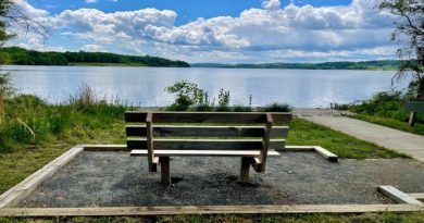
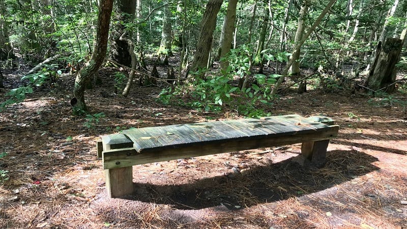
Look for a comfy bench at the .75-mile mark to take a break or re-hydrate before continuing on. Here you can gaze out into the freshwater swamp.
Bald Cypress Trees
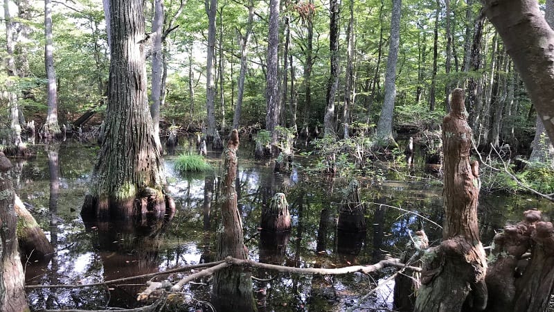
You’ll see another wooden bench adjacent to the Osmanthus Trail at the 1.2-mile mark. There’s also an odd section of bald cypress “knees.”
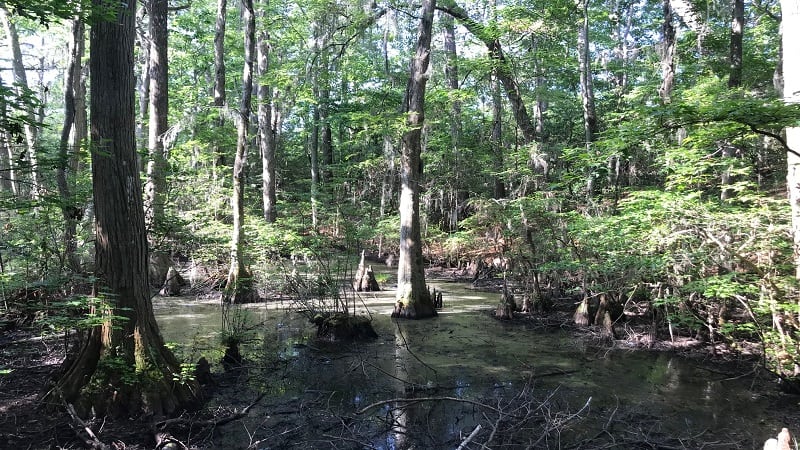
The “knees” are woody knobs that are part of the bald cypress root structure. They look like separate plants, but they are part of a bald cypress a few feet away.
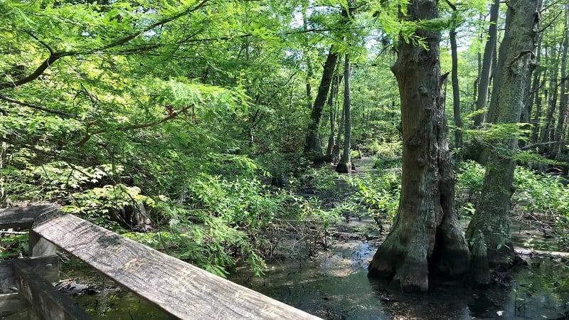
From here, you’ll take a few steps on trail made of mostly dirt, sand and fine gravel trail, then a few steps over a wooden boardwalk. Repeat, repeat.

Note the signs on the boardwalks. Nearly all the boardwalk crossings are Eagle Scout projects. It’s nice to see this connection with the local community.
You’ll also see a few more benches on the way as you finish the loop. Keep your ears open, too. I saw what may have been a red-bellied woodpecker.
At the 2.8-mile mark, the loop is complete and the trail merges with the Bald Cypress Trail. At the 3.1-mile mark, turn right to return to the Trail Center.
Hike Options
For fewer steps, opt for the 1.8-mile Bald Cypress Trail, a delightful loop hike across the cypress swamps that shares a trailhead with the Osmanthus Trail.
For more steps, tackle both the Osmanthus Trail and the Bald Cypress Trail. I really enjoyed the last few steps of the Bald Cypress Trail, especially markers M, N and P.
These are the very best views of the bald cypress trees (IMHO). Instead of walking the entire Bald Cypress Trail, it’s just a .6-mile out-and-back hike to M, N and P.
From the trailhead, cross over the wooden bridge. Turn right at the T-intersection. From here, turn right, then right again to merge onto the Cape Henry Trail.
Turn left onto the Bald Cypress Trail. Continue on until you see the trail markers.
Wrap-Up Notes
From the parking area, this hike took me one hour, including time to stop and snap photos of the mysterious bald cypress trees in the freshwater swamps.
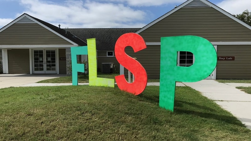
Make note that due to coronavirus, the Trail Center is closed. However, the shore-side visitor center and camp store across Shore Drive are open to park visitors.
If you want to put a kayak or canoe into the water, enter First Landing State Park at the park entrance at 64th Street and Atlantic Avenue.
There is a beach on Broad Bay where you can splash, swim or get up on a stand-up paddleboard. However, there are no watercraft rentals. It’s all bring your own.
Virginia Beach is also home to False Cape State Park. Access this park at Back Bay National Wildlife Refuge Center, then bike or hike four miles to the entrance.

Erin Gifford has completed more than 300 hikes in Virginia. She is also the author of three hiking guidebooks from Falcon Guides. Need help finding a hike? Check out the Trail Finder feature or send Erin an email at [email protected].


