Richmond Canal Walk: A Mural-Filled Urban Hike
The Richmond Canal Walk is an easy 2.8-mile out-and-back walk in downtown Richmond, Virginia that highlights four centuries of the city’s history.
This in-town hike guides you along the James River, as well as on the Kanawha Canal and Haxall Canal. There are cool sculptures and murals on the way, too.
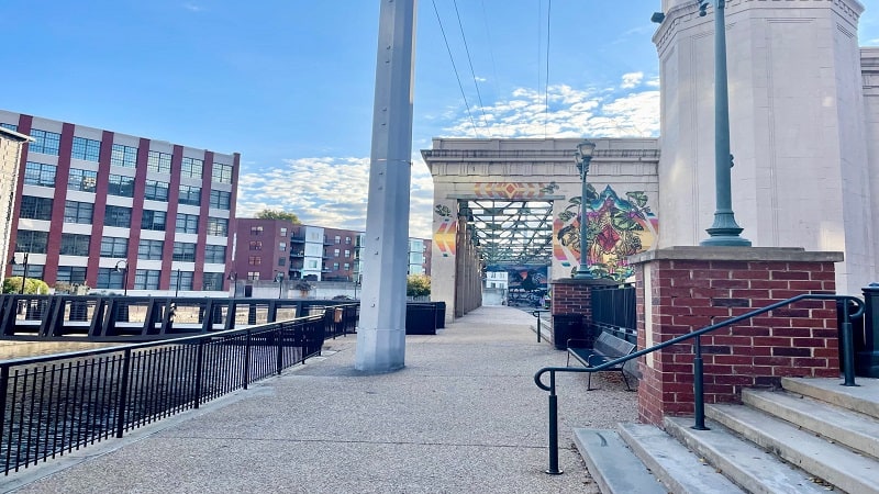
You can pick up the walking trail at several access points between 5th Street and 17th Street. However, I opted for a start at the Robert E. Lee Bridge.
There is a parking lot east of the bridge on Tredegar Street. This is also the start for the Belle Isle Trail, so this lot can fill very quickly, especially on weekends.
| Trail Stats | |
|---|---|
| Length | 2.8 miles |
| Difficulty | Easy |
| Trail Type | Out-and-Back |
| Elevation Gain | 85 feet |
| Duration | 1.5-2 hours |
| Terrain | Mostly paved trails |
| Dog-Friendly | Yes |
| Fee | Free |
| Driving Directions | Click Here |
Brown’s Island
From the parking lot, walk away from the Robert E. Lee Bridge along Tredegar Street. There is a paved path with some views across the flowing James River.
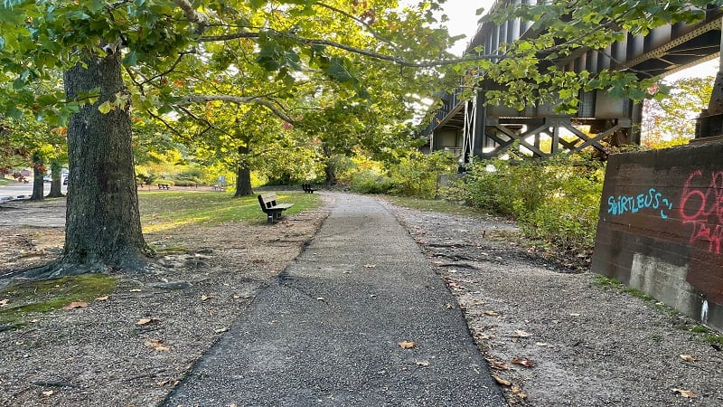
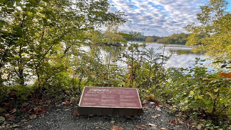
At the 0.1-mile mark, you’ll reach an opening on the right where you can peek across to see Black Bird Island, which was key to the Haxall Mill Dam.
A brown placard educates on what’s above, behind and in front of you, including Belle Isle, which is just to the right as you look out across the water.
In a few more steps, you’ll spy a couple of launch areas for kayaks and canoes. In summer months, river outfitters rent out these human-powered watercraft.
The American Civil War Museum is on your left at the 0.2-mile mark. On the right, cross over the Haxall Canal on a pedestrian bridge to Brown’s Island.

As you walk east, you’ll see a lengthy row of blue porta-potties, then a placard on Brown’s Island, which was acquired by Elijah Brown in 1826.
The name of the island changed several times, but Brown’s Island eventually stuck. In 1987, Brown’s Island became a part of the james River Park System.
Haxall Canal
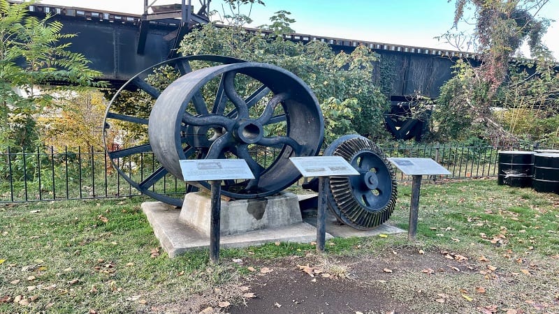
At the 0.5-mile mark, the path goes under the Manchester Bridge. You’re now on Richmond’s Canal Walk, walking alongside Haxall Canal.
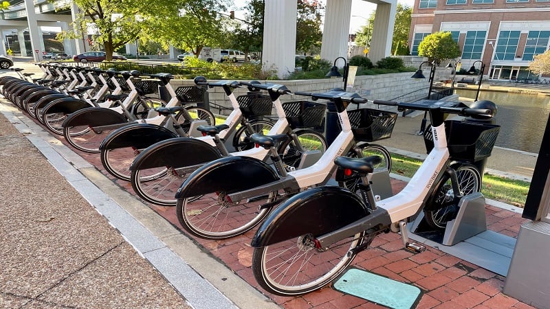
But first, a few rules. Dogs are allowed, but they must be on a leash. Bikes are also okay. There are two RVA Bike Share locations along the Canal Walk.
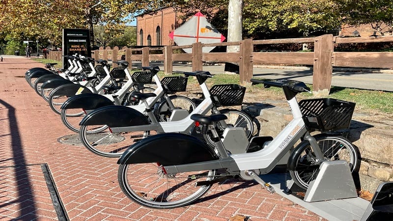
You can rent a bike for the day for $6. Alternatively, a one-way ride of up to 45 minutes costs $1.75. You must be 18+ to rent and ride a bike share bike.
Swimming, skateboarding, fishing and soliciting are not okay. If you keep these rules in mind, you’ll be in for an enjoyable stroll on the Canal Walk.
Canal Walk Murals
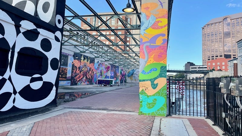
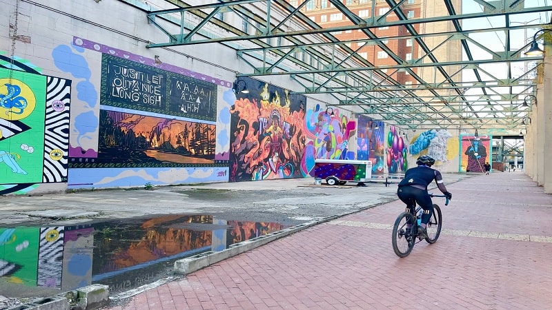
At the 0.7-mile mark, just east of 11th Street, you’ll reach my favorite part of the Canal Walk. There’s a former hydroelectric plant with brand-new murals.
The open-air site has been home to murals for some time, but new murals were painted during the RVA Street Art Festival in September.

The space is home to more than a dozen super-size murals that beautify the space and make the Canal Walk that much more enjoyable on any given day.
In fact, Richmond is home to 150+ murals and works of street art. This Map of Richmond Murals makes it easy to find new and popular works around town.

Pipeline Overlook
Once you exit the power plant building, follow the signs for the Pipeline Overlook. From the last mural, it’s less than 0.1-mile to the viewing platform.
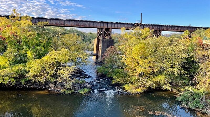
From the overlook, you can see across the James River to the two-mile-long CSX railroad trestle bridge. Under the bridge is the Pipeline Trail.
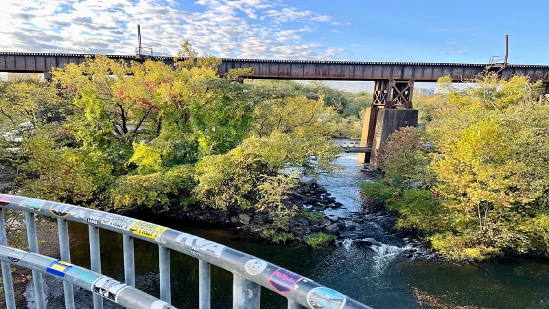
The Pipeline Trail is more or less a catwalk that runs over an old pipeline and under the railroad bridge. It can be a little hard to see with full foliage.
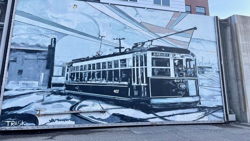
Once you’ve checked out the views, re-trace your steps, but keep your eyes open for the black-and-white streetcar mural.
Kanawha Canal
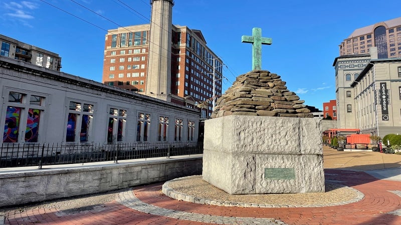
Cross over the canal and continue on the red-brick path. You’ll see a monument to Captain Christopher Newport, one of Jamestown’s founders.
From here, walk up the red-brick path on Byrd Street and turn right for the Tidewater Locks. The route gets a touch confusing here, at least it did for me.
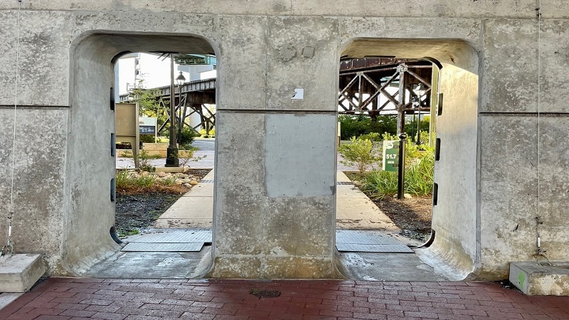
Walk down the steps, then walk up the steps on the other side. Turn left, then right away walk down wooden steps and walk through a concrete tunnel.
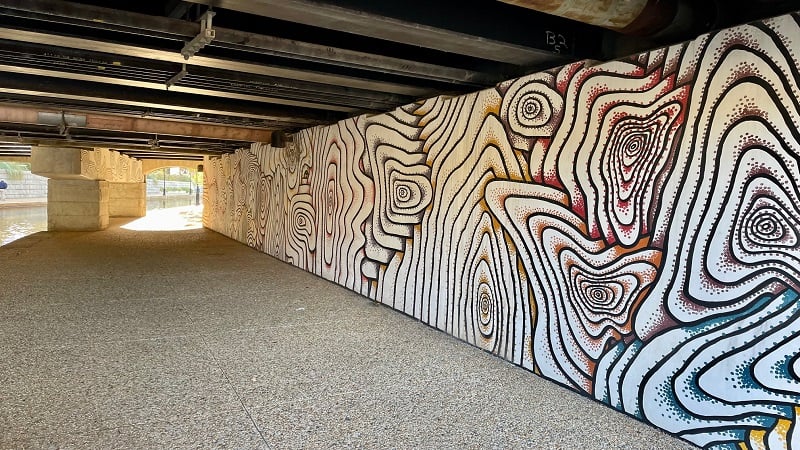
On the other side, you’ll reach the Kanawha Canal. At the 1.2-mile mark, you’ll cross under 14th Street, through a mural-filled underpass.
You’ll reach the end of the Canal Walk at the 1.4-mile mark, but only after crossing over the Kanawha Canal three times via footbridges and tunnels.
In a few more steps, you’ll reach the flood wall and the end of the 52-mile Virginia Capital Trail, a paved multi-use trail that starts in Williamsburg.
Riverfront Canal Cruises
From here, re-trace your steps, but at the 1.3-mile mark, do not cross the pedestrian bridge. Instead, stay on the opposite side of the Kanawha Canal.
There is an RVA Bike Share location and a taphouse at the 1.8-mile mark, as well as a kiosk for tour guide-led cruises along the scenic riverfront canal.
Historic narrated open-air passenger boats on the James River and Kanawha Canal run seven days a week from May through September.
In April, October and November, 40-minute cruises are offered Thursday through Sunday. Tickets are $12 for adults ( ages 12+) and $8 for seniors and children.
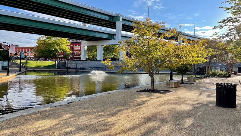
Cross the footbridge back over the canal at the 1.9-mile mark and re-trace your steps. This allows you a second opportunity to ogle the colorful murals.
At the 2.3-mile mark, you can cross the canal and walk the path along 7th Street and Tredegar Street to the parking area, but it’s not especially scenic.
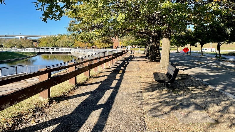
I took this route, but honestly, I think your best bet is to re-trace your steps across Brown’s Island and back to the parking area.
Wrap-Up Notes
From my car, this urban hike took me just over an hour. It’s an easy hike and it’s very enjoyable, especially the murals at the one-time hydroelectric plant.
Along the route, you’ll see several restaurants, including Southern Railway Taphouse and Casa Del Barco, both of which make nice pit stops on the way.
Eager for more Central Virginia day hikes? Check out my favorite hikes near Richmond, Virginia.

Erin Gifford has completed more than 300 hikes in Virginia. She is also the author of three hiking guidebooks from Falcon Guides. Need help finding a hike? Check out the Trail Finder feature or send Erin an email at [email protected].

