Mount Rogers: Hike the Appalachian Trail to Virginia’s Highpoint in Mouth of Wilson
At an elevation of 5,730 feet, Mount Rogers is the highest point in Virginia. This sought-after peak can be reached by way of a 9.0-mile out-and-back hike.
You can reach Mount Rogers from Elk Garden or from Massie Gap, which is at Grayson Highlands State Park. Both routes follow the Appalachian Trail.
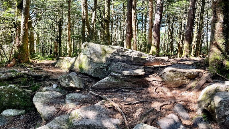
The Appalachian Trail lead hikers to the blue-blazed Mount Rogers Trail for the final 0.6 miles that guide hikers to the coveted highpoint in Virginia.
It’s worth noting, however, that there are no panoramic views. It’s an entirely forested summit, but at least it’s a fairly easy highpoint to check off the list.
| Trail Stats | |
|---|---|
| Length | 9.0 miles |
| Difficulty | Moderate |
| Trail Type | Out-and-Back |
| Elevation Gain | 1,785 feet |
| Duration | 4-5 hours |
| Terrain | Mostly dirt & rock trails |
| Dog-Friendly | Yes |
| Fee | Free |
| Driving Directions | Click Here |
Mount Rogers Hike
There are pros and cons to both routes to the state’s tallest peak. The northbound route is shaded and begins from a good-size free parking lot at Elk Garden.
The southbound route includes a trek across Wilburn Ridge, where wild ponies are plentiful. However, you’ll need to pay $7-$10 to park at Grayson Highlands.
The Wilburn Ridge route is also nearly full sun. It rarely gets very hot in this area, but this is worth taking into consideration since it’s a fairly long hike.
Elk Garden
I hiked to Mount Rogers from Elk Garden on State Route 600 (Whitetop Road). It’s easy to find and there is room for more than a dozen cars to park.
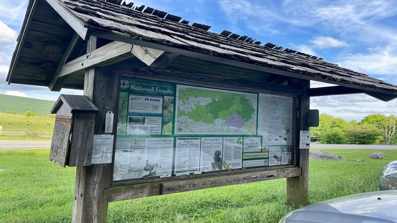
There is also a vault toilet on the right-hand corner when you drive in. Always a plus. However, there is no lock on the door. Definitely not a plus.
There is a large trail kiosk with a Mount Rogers trail map if you want to snap a photo before you set off on this hike, which begins across Whitetop Road.
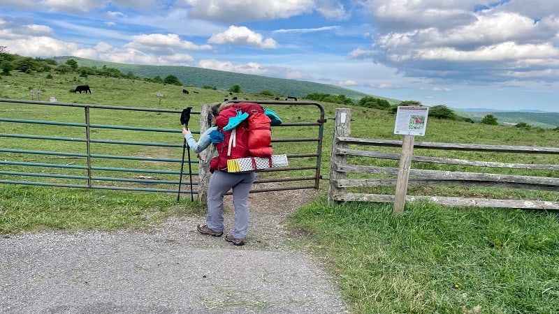
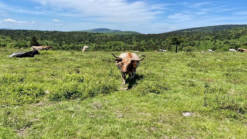
Open and close the gate that keeps in the cows (yes, you will see lots of cows), then continue along the Appalachian Trail. A trail sign nudges you to the left.
It’s a mild ascent across open grassland, but you’ll soon enter the shade of the forest at the 0.5-mile mark. Then a sign for Lewis Fork Wilderness.
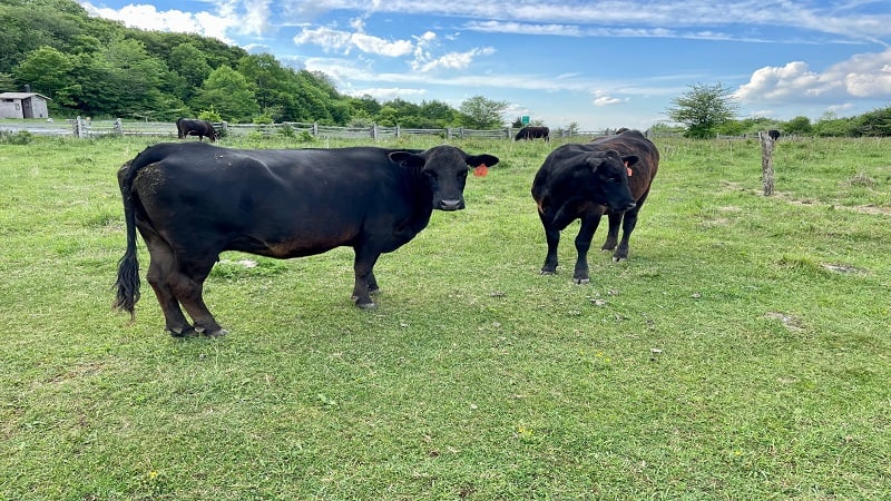
So there is no confusion, you will be in the Jefferson National Forest, Lewis Fork Wilderness and Mount Rogers National Recreation Area all at the same time.
Appalachian Trail
From here, it’s a lot of hardwood forest. It’s quiet and relaxing. The southbound route by way of Grayson Highlands is much more bustling with pony-seekers.
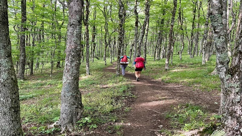
At the 2.0-mile mark, a sign lets you know you’re going in the right direction and that the summit of Mt. Rogers is just 2.5 miles ahead on the trail.
Here you can also turn right for a spur trail to water sources or to connect with the Virginia Highlands Horse Trail.
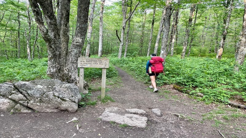
You’ll reach a switchback and a trail junction at the 2.1-mile mark. Make a hard right to continue following white blazes for the Appalachian Trail to Mount Rogers.
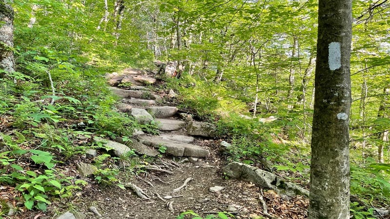
As you ascend, you’ll encounter a couple of sets of stone steps built into the trail to help manage the climb. At the 3.0-mile mark, get ready for a reward.
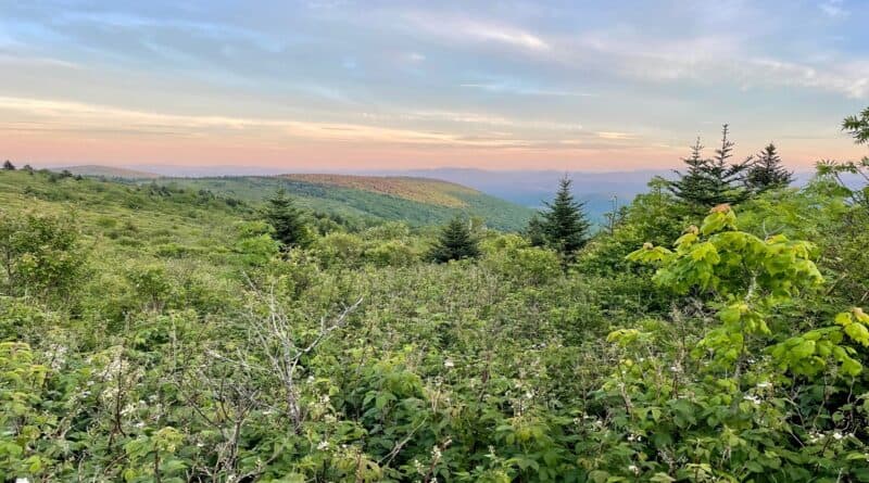
Just steps off the trail you’ll revel in wide-open views across the grassy highlands. It’s seriously so beautiful and a nice reward for getting to this point.
Take in the great views of lush meadows and open balds, then keeping moving through the forest. There’s a primitive camp site at the 3.3-mile mark.
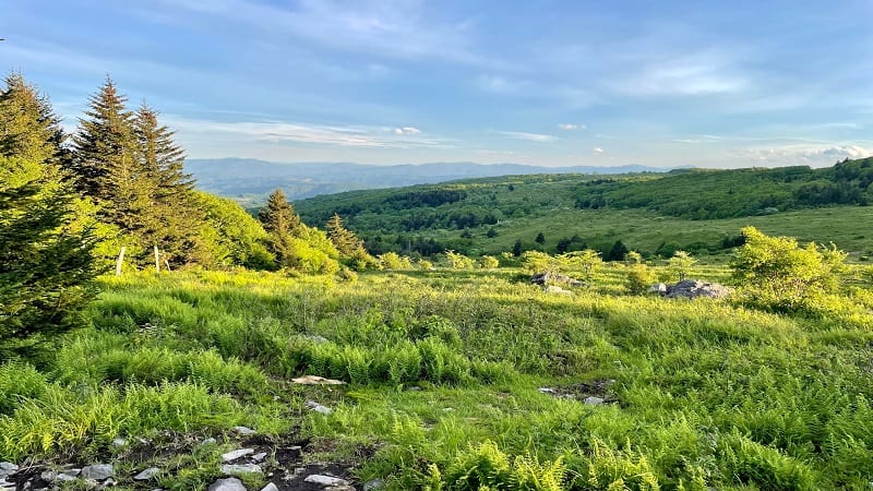
Once you get to the 3.7-mile mark, you’re out of the woods for the next 0.2-miles, so plan to savor views that extend for miles. Then, one more camp site.
Mount Rogers Trail
At the 3.9-mile mark, you’ll arrive at the blue-blazed Mount Rogers Trail. Turn left here. You’re back in the forest, but there are a few surprises.
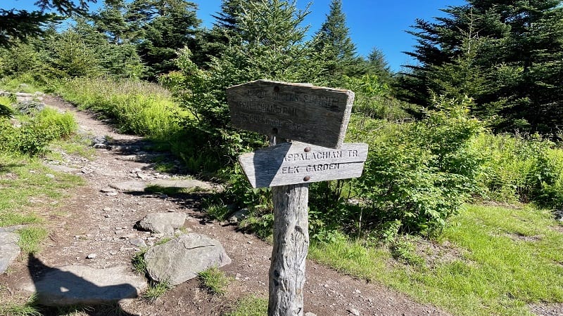
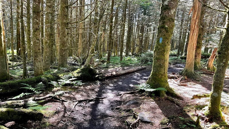
You’re still climbing and it seems like a typical walk in the woods, until it becomes very Jurassic Park-like. It’s very mossy, like a temperate rain forest.
You have left the hardwood forest and entered a spruce-fir ecosystem. Notice the dense, dark evergreens that begin to populate the trail.
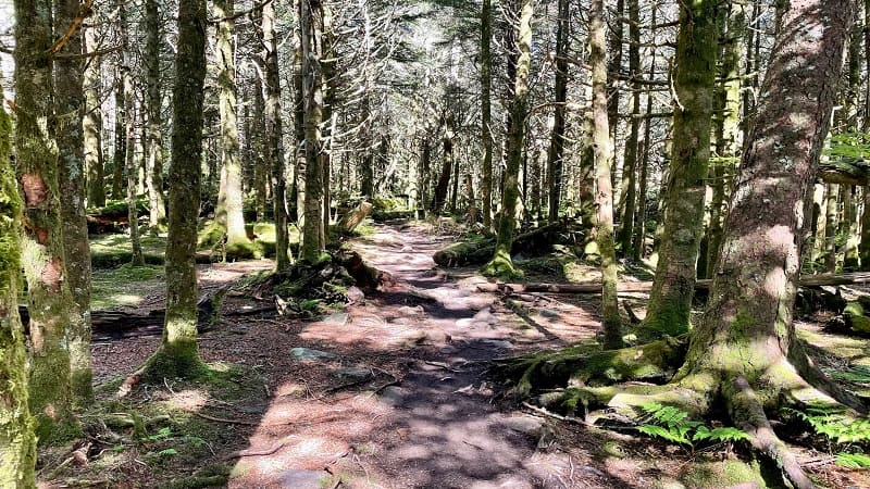
This spruce-fir growth increases as you ascend on the Mount Rogers Spur Trail. Moss covers fallen logs, while ferns carpet areas of the forest floor.
You will arrive at the Mount Rogers summit at the 4.5-mile mark. As I noted above, there is nothing to see. It is completely closed in.
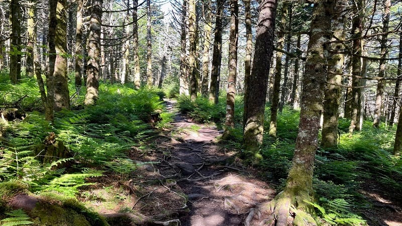
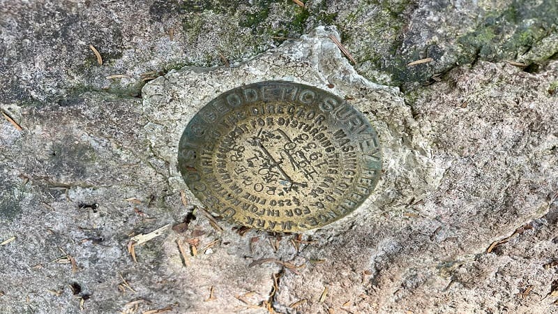
A large boulder appears to mark the summit of Mount Rogers, as well as a survey marker to mark the precise point of highest elevation.
From here, simply re-trace your steps to the trailhead to complete your hike. However, I would suggest that you continue north for more views.
Thomas Knob Shelter
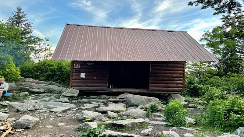
If you continue north on the Appalachian Trail in Southwest Virginia for less than 0.3 miles you will reach the Thomas Knob Shelter on the right.
Unlike most shelters, which can be reached by way of a short walk down a spur trail, this shelter is literally alongside the trail. You can’t miss this one.
You will also pass camp site after camp site. Backpacking and camping along this scenic ridge are very popular and nice campsites are plentiful.
If you did not bring a tent and sleeping bag, you will most certainly wish that you had. Or at least you will make a note that you will be back another day.
Wrap-Up Notes
From the Massie Gap parking lot, most day hikers take about 3 to 4 hours to complete this hike to the top of the tallest mountain in Virginia.
If you opt to visit Grayson Highlands State Park in Mouth of Wilson after Mount Rogers, say hello to (but do not feed or touch) the herds of wild ponies.
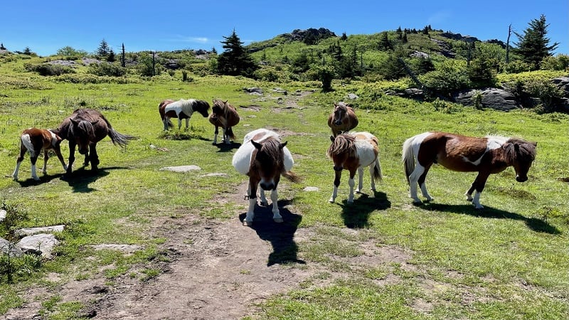
The Grayson Highlands ponies are not native, but were introduced to maintain the grassy balds and control the spread of thorny brush on this one-time farmland.
You may also see steer roaming about Grayson Highlands and the Mount Rogers NRA. They mostly mind their own business, eating grass.
Another great hike at Grayson Highlands is Twin Pinnacles, which allows you to savor spectacular views from Big Pinnacle and Little Pinnacle.
This hike begins across Grayson Highland Lane from the Massie Gap trailhead. There are more miles of trails too, like the Haw Flats Trail and Split Rock Trail.

Erin Gifford has completed more than 300 hikes in Virginia. She is also the author of three hiking guidebooks from Falcon Guides. Need help finding a hike? Check out the Trail Finder feature or send Erin an email at [email protected].

