Natural Chimneys Park: A Geologically Rewarding Hike in Mount Solon, Virginia
For a geologically curious hike, look to Natural Chimneys Regional Park in Mount Solon. Imposing limestone formations inspire. Even better, they’re really cool.
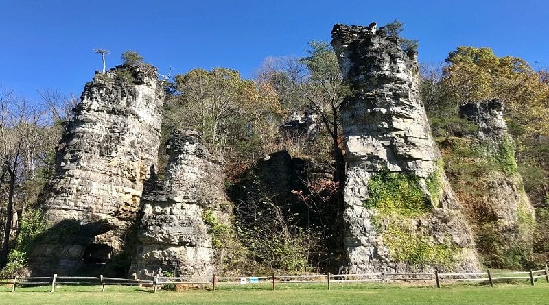
Seven solid rock formations dating back hundreds of millions of years tower as high as 120 feet tall and serve as the centerpiece of this park in Augusta County.

It’s hard to believe that these natural chimneys were once completely submerged by the sea. Each one is made up of numerous layers of compacted sediment.
Within some layers, fossilized sea creatures can be found. Layers vary in color and thickness due to changing sea water temperatures and species of aquatic life.

The towering chimneys are interesting to explore, but look low too for caves, sinkholes and tunnels created by exposure and natural erosion over the years.
While the natural chimneys are steps from the parking lot, an easy 1.9-mile loop trail guides visitors to the top of the towers then down to the burbling North River.
| Trail Stats | |
|---|---|
| Length | 1.9 miles |
| Difficulty | Easy |
| Trail Type | Loop |
| Elevation Gain | 138 feet |
| Duration | 1-1.5 hours |
| Terrain | Mostly dirt trails, some paved |
| Dog-Friendly | Yes |
| Fee | Free |
| Driving Directions | Click Here |
Natural Chimneys Park
From the main entrance, drive all the way to the back of this small park. Here you’ll find a large parking area, the chimneys themselves, even a man-made chimney.
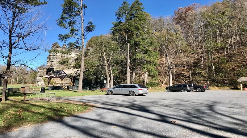
Explore the natural chimneys now or wait until the end of this short hike. The Overlook Trail begins at the back of the parking lot.
The Overlook Trail is a rugged .25-mile trail (round-trip) through the forest. From here, this hike connects with a couple of other trails to form an easy-going loop.
There’s not a lot of elevation gain to this hike, but nearly all of the gain takes place in the first .1-mile as you climb to the top of the chimneys.
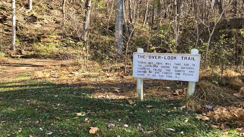
Overlook Trail
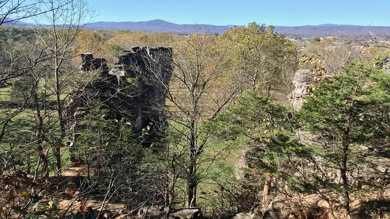
After a 110 foot ascent, you’re only a few steps from the overlook.
From here, you can look down at the towers and savor the far-reaching views across the Shenandoah Valley.
Back-track to the Overlook Trail, then turn left in a few more steps onto the Chimneys Trail. It can be hard to find, so keep your eyes open.
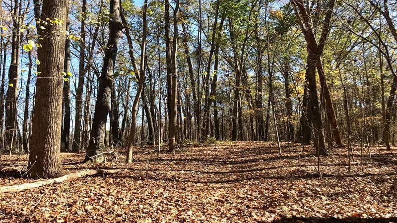
This is a very peaceful forested hike along a wide trail. At the .65-mile mark, you’ll see the Nature Trail that begins on the left, over a small wooden bridge.
I skipped this trail, continuing on to the end of the Chimneys Trail. This trail dead-ends on Natural Chimneys Lane. Turn left to walk to the front of the park.
You’ll shortly see the visitor center. Cut through the small parking lot on the right and turn right onto the main road for the campground.
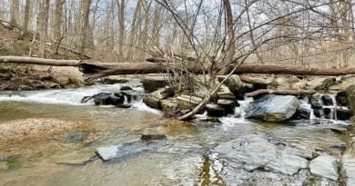
At the 1.1-mile mark, you will pick up the River’s Edge Trail on the left. This trail guides you along the edge of the river. The North River, to be exact.
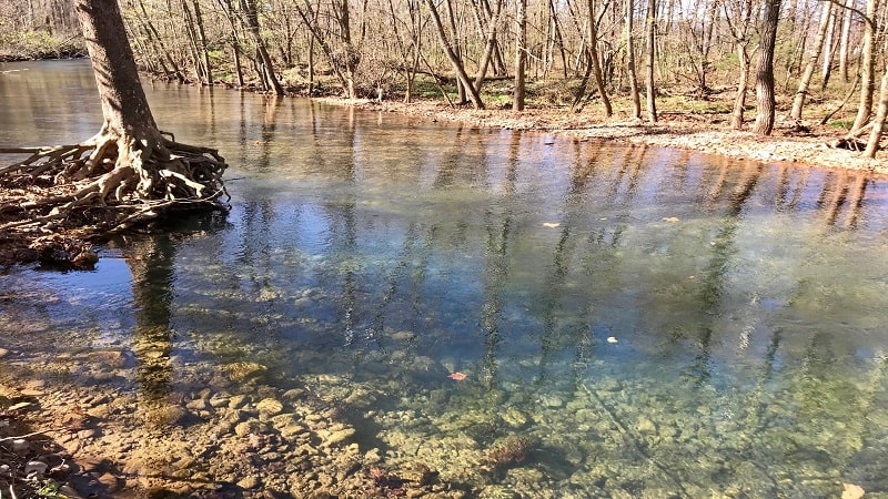
As the trail winds along the river, there are several short spur trails to step out on to get close to the crystal-clear flowing river. In some areas, it’s nearly aquamarine.
Natural Chimneys
Once you reach Howdyshell Lane, turn left onto this park road. In a few more steps, cut across the large green space to get up close to the natural chimneys.
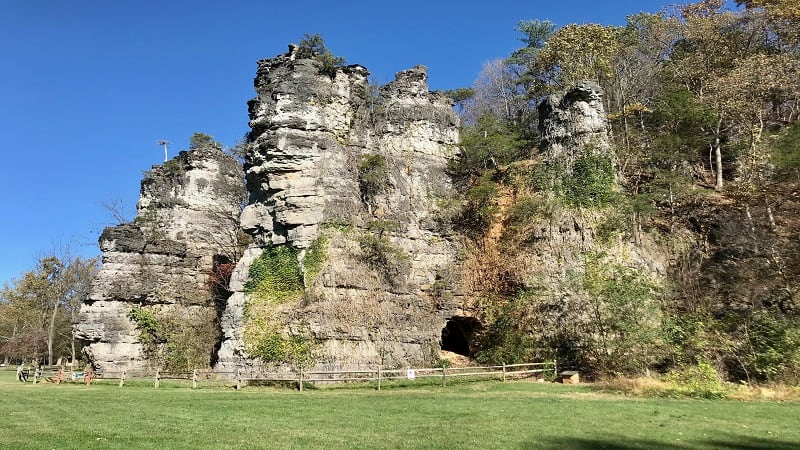
You are now both in front of the towering chimneys and to the left of the parking area. Snap loads of photos and enjoy a picnic on the green before you go.
It’s easy to make this hike shorter by simply climbing to the overlook, then walking back down to the base of the natural chimneys.
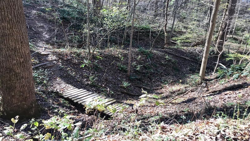
You can also add on the Nature Trail. When you reach this trail, turn left. In less than .3-mile, this trail will end at the visitor center.
The Nature Trail replaces the paved stretch to the visitor center along Natural Chimneys Lane. Complete the loop or turn right to return to the parking area.
Wrap-Up Notes
From the parking area, this hike took me nearly one hour to complete, including time spent admiring the natural chimneys and the river views.
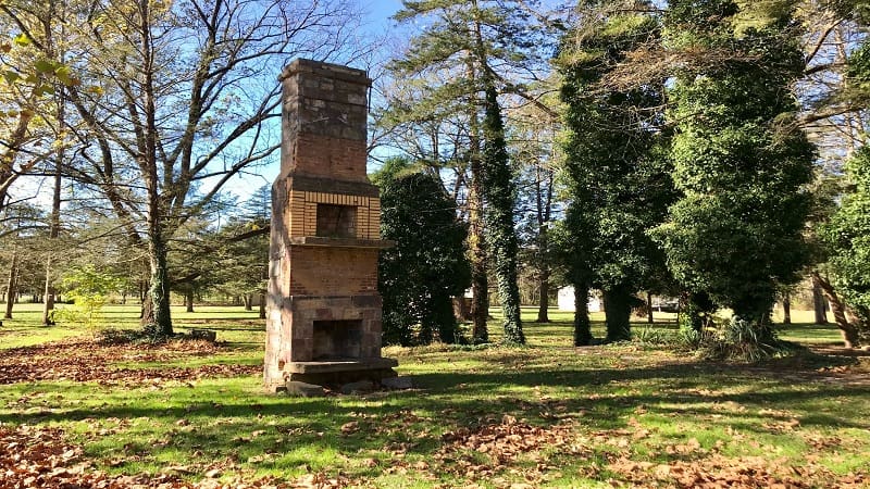
For post-hike eats and sips, the town of Bridgewater is a 15-minute drive. Here you’ll find good picks on Main Street, like The Cracked Pillar Pub and El Charro.
Hungry for more? Take a look at 15 of the best hikes near Staunton, Virginia to find a few more hikes to add to your must-do hiking list.

Erin Gifford has completed more than 300 hikes in Virginia. She is also the author of three hiking guidebooks from Falcon Guides. Need help finding a hike? Check out the Trail Finder feature or send Erin an email at [email protected].

