Blue Ridge Tunnel: Hike Through a Historic Train Tunnel Under Rockfish Gap in Central Virginia
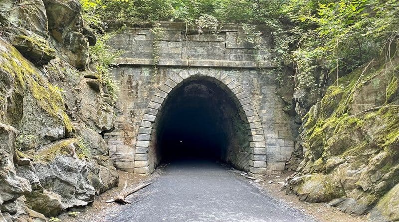
The Blue Ridge Tunnel was built from 1850 to 1858 for the Blue Ridge Railroad. It was the longest railroad tunnel in the United States at 4,273 feet in length.
Located in Nelson County, this historic railroad tunnel opened as a hiking trail in November 2020. Here’s what to know about this 4.6-mile out-and-back hike.
For starters, the nearly mile-long tunnel is located under Rockfish Gap in the Blue Ridge Mountains of Central Virginia. It’s a stone’s throw from Waynesboro.
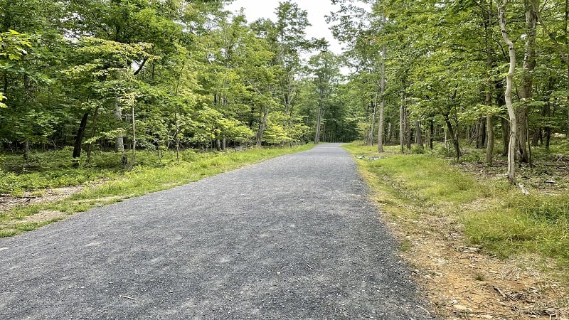
This crushed stone path is also 10 minutes from the Rockfish Gap entrance at the southern terminus of Skyline Drive at Shenandoah National Park.
The tunnel was last used by the Chesapeake and Ohio Railway (later called CSX Transportation) in 1944. A new tunnel was built and this tunnel was abandoned.
CSX Transportation donated the Blue Ridge Tunnel to Nelson County in 2007. Restoration began and the old tunnel re-opened as a trail on November 21, 2020.
| Trail Stats | |
|---|---|
| Length | 4.6 miles |
| Difficulty | Easy |
| Trail Type | Out-and-Back |
| Elevation Gain | 394 feet |
| Duration | 2-3 hours |
| Terrain | Mostly gravel |
| Dog-Friendly | Yes |
| Fee | Free |
| Driving Directions | Click Here |
Blue Ridge Tunnel Trail
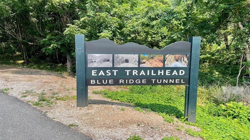
There are two trailheads for this out-and-back hike on a mostly gravel path. The East Trailhead in Afton has a large parking area. Most hikers start from here.
The West Trailhead is located in Waynesboro, just off U.S. Route 250. This trailhead has a dozen or so parking spaces and all are parallel parking spaces.
Both trailheads have porta-potties. For this hike, I recommend the East Trailhead for easy parking and a flat approach to the tunnel.
East Trailhead (Afton)
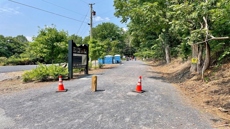
From the Blue Ridge Tunnel Trail parking area in Afton, stop at the large kiosk on the left marked “East Trailhead” for the history of the Blue Ridge Tunnel.
It’s worth noting that this engineering marvel is also referenced as the Crozet Tunnel Greenway and the Claudius Crozet Tunnel. These are all the same tunnel.
Continue on and you will see three blue porta-potties on the left-hand side of the trail. Another educational placard turns up on the right side of the tunnel trail.

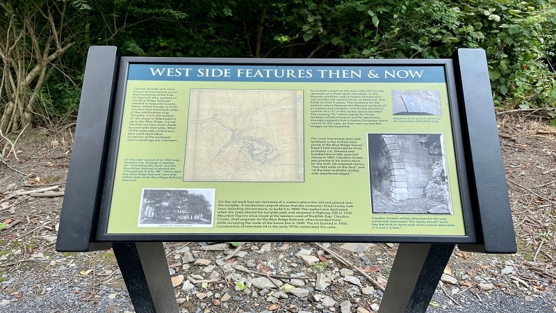
On this hike, you will pass eight to ten placards on the history of the tunnel, including how it was built and what to know about chief engineer, Claudius Crozet.
As you walk, take in the views of the active railroad line on the left of the trail. This is the re-route to the larger tunnel that replaced the Blue Ridge Tunnel in 1944.
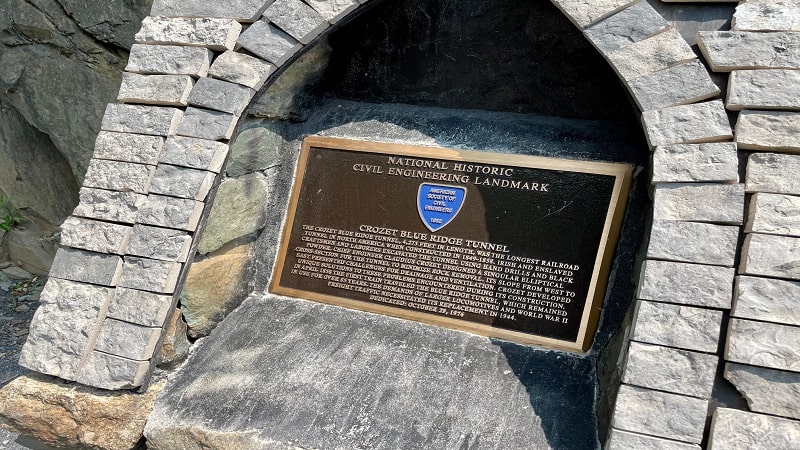
Close to the tunnel entrance at the 0.6-mile mark, you’ll see an award given to the Crozet Blue Ridge Tunnel as a National Historic Civil Engineering Landmark.
Because this is a tunnel, it will get dark and there is no lighting inside the tunnel. I suggest that you bring a headlamp or a flashlight. It gets very dark.
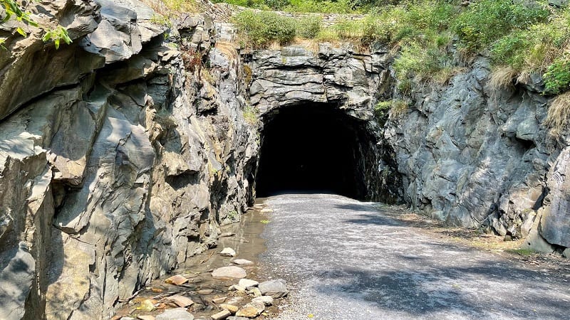
It gets quite cool inside this tunnel in the Shenandoah Valley, too. Year-round temperatures inside the tunnel, even on the hottest summer days, run in the 50s.
Given the chilly temps inside the tunnel, it’s no surprise that this hike near the start of the Blue Ridge Parkway has been called the “Coolest Hike in Virginia”
You’ll walk 0.9-mile through Afton Mountain by way of the Blue Ridge Tunnel. Switch on your headlamp to ensure safe passage to the other end of the tunnel.
As you enter the tunnel from the east, the entrance is more rocky. From the west, the entrance is a stone-lined arch crafted by expert Irish stonemasons.
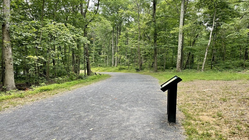
Exit the tunnel at the 1.5-mile mark. From here, ascend the trail to the parking area at the 2.3-mile mark. It’s a little up, a little down to the West Trailhead.
The trail on the west side of the Claudius Crozet Blue Ridge Tunnel (another name for the tunnel) winds through mature forest and is steep in some sections.
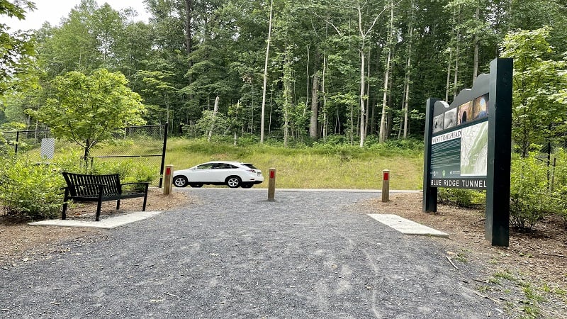
From the West Trailhead in Waynesboro, re-trace your steps to the parking area for the East Trailhead in Afton. Your hike is complete at the 4.6-mile mark.
Wrap-Up Notes
From the East Trailhead parking area, this hike through the Blue Ridge Tunnel in Virginia took me 90 minutes to complete, including time reading up on its history.
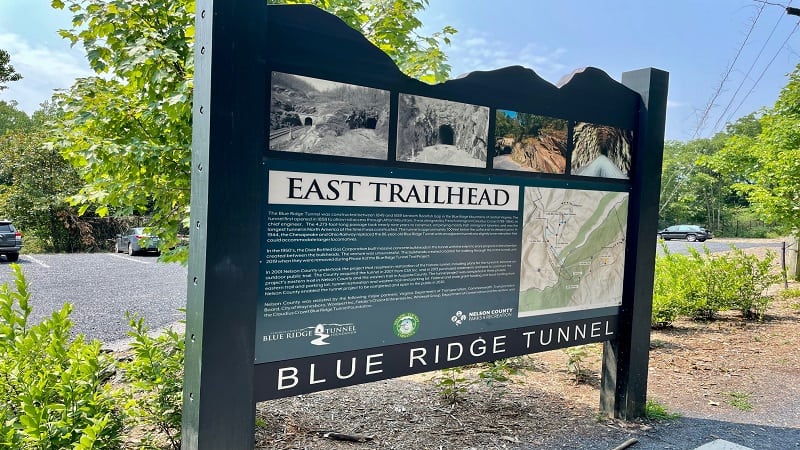
You will want to start from the east entrance in Afton (215 Afton Depot Lane). There are many parking spots and the trail from the east is fully-accessible.
If you start from the west entrance in Waynesboro, the address is 483 Three Notched Mountain Highway. Get ready for a steep descent from the get-go.
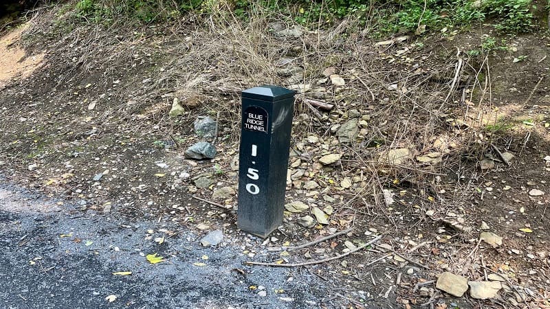
There is a Blue Ridge Tunnel trail map on each of the large trailhead signs – East and West. There is also a mileage marker along this public trail every 0.25-miles.
For more area hikes, check out a few of my favorite hikes near Staunton, hikes near Charlottesville and hikes near Waynesboro.
Documentary: The Tunnel
For railroad enthusiasts who want to learn more about the Blue Ridge Tunnel, check out The Tunnel, a 35-minute documentary from American Focus Films.
This documentary film on this historic tunnel in Virginia’s Blue Ridge Mountains was released in March 2021 and is available to watch for free on YouTube.
The short film follows the story of the train tunnel’s creation and re-creation, including challenges experienced by Irish immigrants who dug this long tunnel.

Erin Gifford has completed more than 300 hikes in Virginia. She is also the author of three hiking guidebooks from Falcon Guides. Need help finding a hike? Check out the Trail Finder feature or send Erin an email at [email protected].

