Fort Windham Rocks: An Easy Hike in Shenandoah National Park’s North District
Not long ago, I set my GPS for Shenandoah National Park’s North District. Fort Windham Rocks was among a few short hikes I had planned for the day.
This was to be a .8-mile out-and-back hike, but a downed tree doubled the length of this hike when I turned this trek into a lollipop hike.
I also made a side detour that led to a spider bite (seriously, ouch) and ended up with a hike that was somewhere in the neighborhood of 3.0 miles.
Still, I did make it to see the geologically curious Fort Windham Rocks. As in, two massive split boulders that have mysteriously risen from the earth.
Appalachian Trail
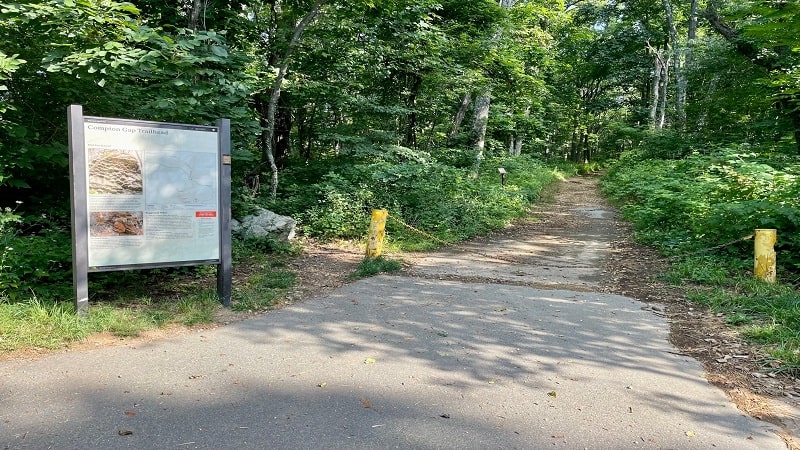
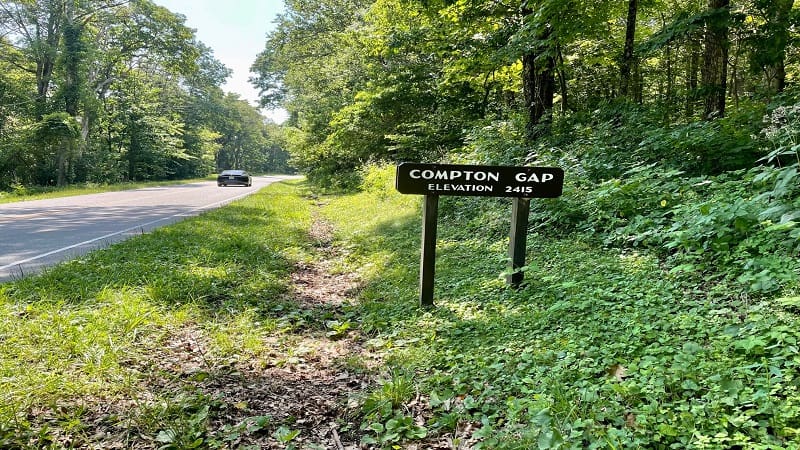
This hike begins from the Compton Gap parking area at milepost 10.4 on Skyline Drive. At the north end of the parking lot, look for a large trail kiosk.
Here you’ll pick up the northbound Appalachian Trail. It’s a wide dirt path and also doubles as the Compton Gap Fire Road for less than .5 miles.
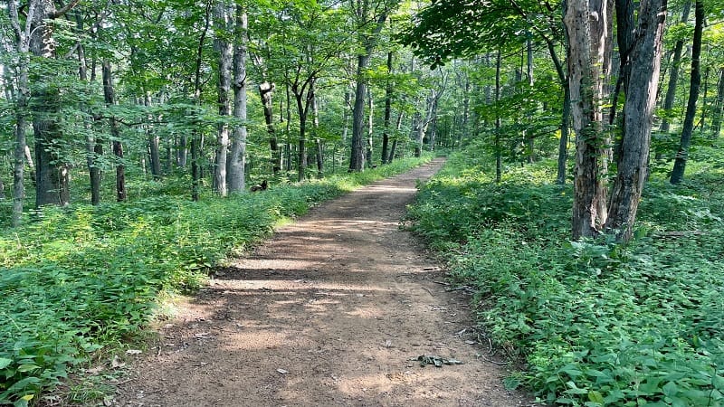
You’re only on the AT for about .2 miles before you turn left onto the blue-blazed Dickey Ridge Trail. It wasn’t long before I was stopped in my tracks.
Dickey Ridge Trail
At the .3-mile mark, I reached a very large fallen tree. There were also lots of thorns. I was wearing a tank top and those thorns would literally tear me up.
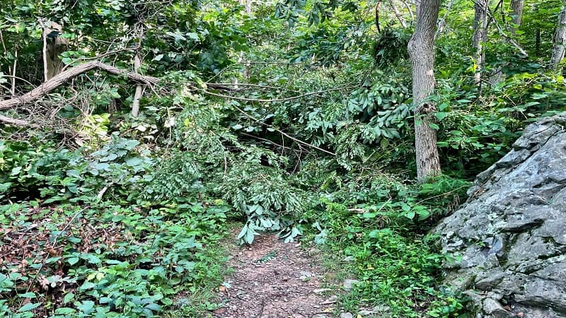
There was no way I as going to make it to the other side of the trail. Worse, I was so close to Fort Windham Rocks. What to do, what to do.
I back-tracked to the Appalachian Trail and re-visited my trail map. I realized I could still reach Fort Windham Rocks by way of the Springhouse Road Trail.
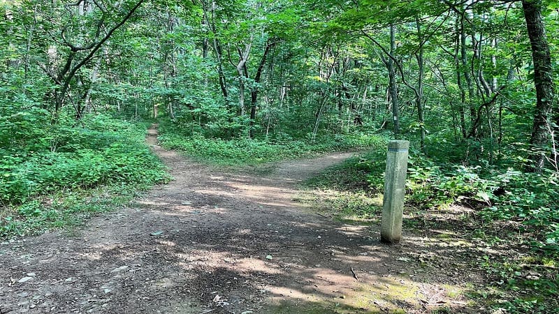
Instead of turning right onto the AT to return to the parking lot, I turned left in the direction of the yellow-blazed Springhouse Road Trail.
Springhouse Road Trail
The Springhouse Road Trail was .3 miles north on the Appalachian Trail. I turned left and it was .7 miles to reach the Dickey Ridge Trail.
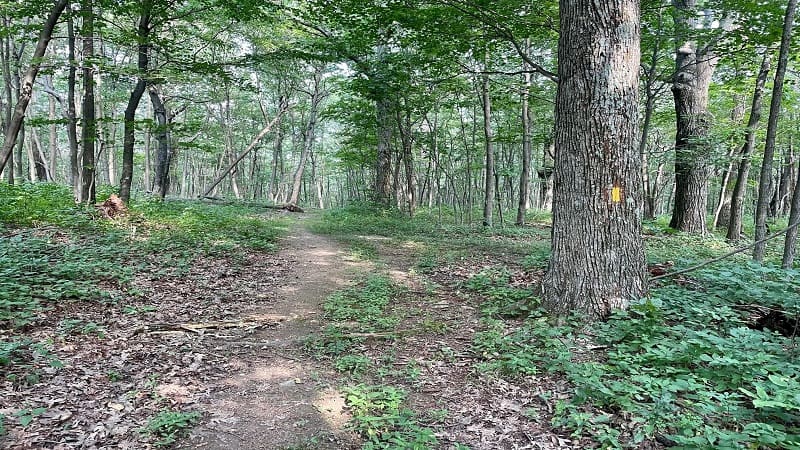
Essentially, the Springhouse Road Trail dead-ends at the Dickey Ridge Trail. I was hoping to see a springhouse, even a spring, but none were on this trail.
It’s a fairly uneventful stretch of trail, but it was quiet and good for solitude. I’m sure this trail was happy to have a visitor on this warm Sunday morning.
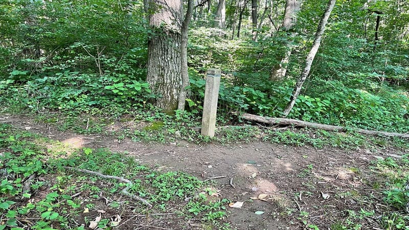
At the dead-end, I turned left onto the Dickey Ridge Trail and it was probably another .5 miles before I reached Fort Windham Rocks.
Fort Windham Rocks
An unmarked spur trail leads to Fort Windham Rocks. Keep your eyes open or you may miss this interesting geological oddity completely.
As you approach, you will quickly see the split greenstone boulders that have risen some 50 feet out of the ground.
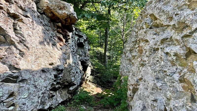
You may want to scramble or climb the rocks, but in summer, the foliage, and probably poison ivy, is everywhere. This hike would be good in early-spring.
It’s not hard to climb to the top of the rocks, but there are no views. At least not in the summer. Still, kids will love exploring the cracks and crevices.

From here, re-trace your steps in whichever direction you arrived at Fort Windham Rocks by way of the Dickey Ridge Trail.
Indian Run Spring
Once you return to the intersection of the Appalachian Trail and Dickey Ridge Trail, you’ll note that there is a path that leads to Indian Run Spring.
The short path also leads to the Indian Run PATC Maintenance Building. This building stores trail maintenance tools and provides shelter for trail workers.
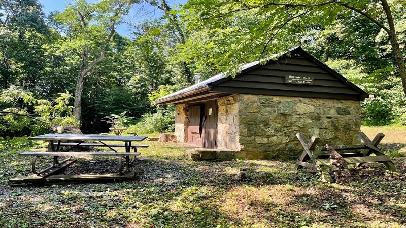
As a side note, PATC is the Potomac Appalachian Trail Club. The club organizes a lot of volunteer trips to maintain a section of the Appalachian Trail.
The PATC also conducts classes and workshops that range from wilderness first aid to trail maintenance skills to trail patrol training.
Wrap-Up Notes
The hike to Fort Windham Rocks can be done as a .8-mile out-and-back hike or a 1.9-mile lollipop hike by way of the Springhouse Road Trail.
Post-hike, I made a stop at the Dickey Ridge Visitor Center to alert the ranger on-duty to the downed tree so a worker or volunteer could clear the trail.

I also walked into the gift shop and freaked out a bit (a lot) when I saw my book, Hiking with Kids Virginia: 52 Great Hikes for Families, for sale in the shop.
If you want to do a second hike, no need to get back in your car. Walk across Skyline Drive for the southbound Appalachian Trail.
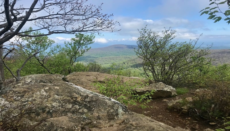
This leads to Compton Peak and rewards with both big mountain views and a cool geological feature called a Columnar Jointing.
There are a few other easy hikes in the North District, including Lands Run Falls (milepost 9.2) and the Fox Hollow Trail (milepost 4.6).

Erin Gifford has completed more than 300 hikes in Virginia. She is also the author of three hiking guidebooks from Falcon Guides. Need help finding a hike? Check out the Trail Finder feature or send Erin an email at [email protected].


