Calvary & Chimney Rocks Hike: Cool Rocks, Big Views at Shenandoah National Park
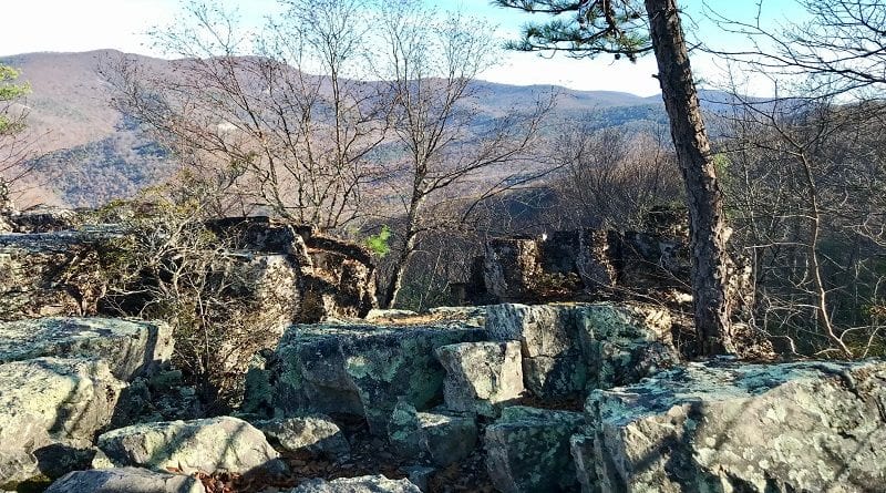
The 3.2-mile out-and-back hike to Calvary and Chimney Rocks wows with a wonderland of Calvary Rocks and great views from flat top rocks at Chimney Rock.
This moderate hike is a short drive from the Rockfish Gap entrance at Shenandoah National Park. It features steps on the Appalachian Trail and Riprap Trail.
This hike begins at the Riprap parking area at mile marker 90 at Skyline Drive. The small parking lot is shared with the Riprap Loop, a 9.8-mile circuit hike.
The Calvary and Chimney Rocks hike has an overall elevation gain of more than 800 feet, so the hiking can be steep at times, but there are amazing views.
| Trail Stats | |
|---|---|
| Length | 3.2 miles |
| Difficulty | Moderate |
| Trail Type | Out-and-Back |
| Elevation Gain | 860 feet |
| Duration | 1.5-2.5 hours |
| Terrain | Mostly dirt & rock trails |
| Dog-Friendly | Yes |
| Fee | $30 per vehicle (good for seven days) |
| Driving Directions | Click Here |
Calvary and Chimney Rocks Hike
This short hike starts toward the back of the Riprap Trail parking area. A trail kiosk with a trail map outlines the routes for each of the scenic hikes.
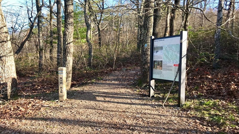
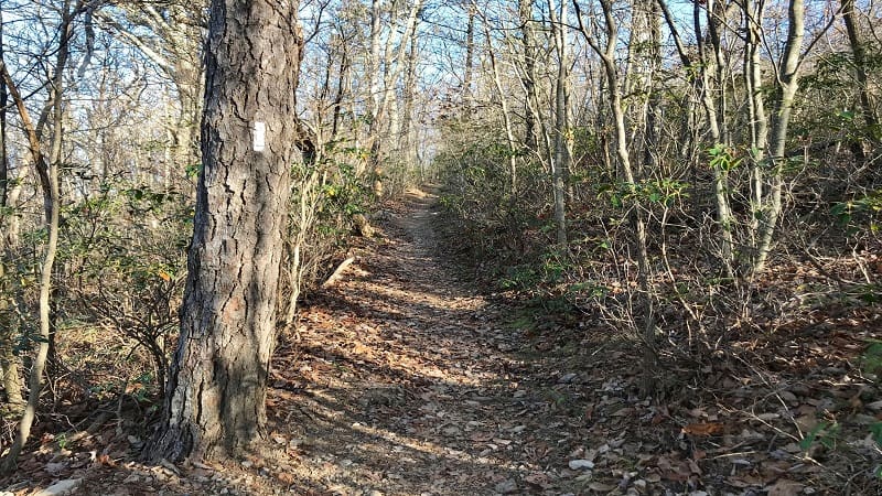
Walk past the large trail sign. In a few steps, make a right turn at a concrete trail marker to ascend the white-blazed Appalachian Trail.
From here it’s a slow climb until the 0.4-mile mark when you turn left onto the blue-blazed Riprap Trail. You’ll take this trail all the way to Chimney Rock.
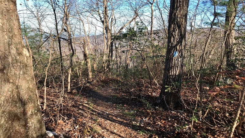
At the 0.6-mile mark, you’ll see the perfect log to sit down on for a snack with a northeast-facing view. It’s like an oasis after the uphill climb on the Riprap Trail.
You’ll pass through a talus slope (like a rock slide) at the 1.1-mile mark. Look for lots and lots of rocks. Fortunately, there is a fairly clear path through the rocks.
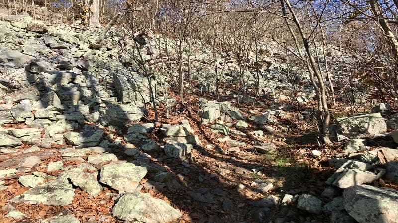
In another 0.1-mile you’ll reach several rocky outcrops with northwest-facing views of the valley and farms below. You have not yet reached Calvary Rocks.
At the 1.5-mile mark, you will reach Calvary Rocks. It’s a mysterious wonderland of gigantic rock formations. You can even scramble to the top for wide-open views.
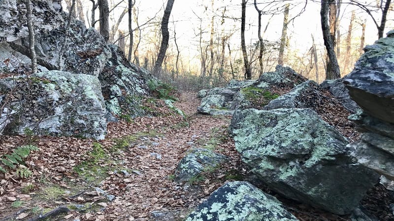
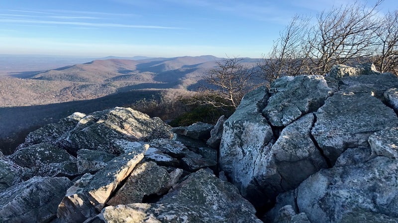
At the 1.6-mile mark, you will reach Chimney Rock. These are cool, flat top rocks. Choose one of the nice rocky viewpoints, then take a seat for spectacular views.
Once you’ve soaked in the views across the Shenandoah Valley, re-trace your steps from the scenic overlooks to the Riprap Trailhead and parking area.
Wrap-Up Notes
From the parking area, this great hike took me 80 minutes, including time spent ogling the views. I did not, however, scramble to the top of Calvary Rocks.
This parking lot also allows you to hike southbound on the Appalachian Trail to the Wildcat Ridge Trail for the Riprap Loop hike.
The Riprap Loop is a longer hike, but across the entire loop trail you will enjoy stream crossings, a nice swimming hole, scenic overlooks and wooded trails.
Waynesboro, Virginia is a short distance away for post-hike eats and sips. A couple of faves include The Fishin’ Pig and The Tailgate Grill.
Eager for more miles of trails? Check out my favorite hikes in Shenandoah National Park’s South District, including the easy hike to Blackrock Summit.

Erin Gifford has completed more than 300 hikes in Virginia. She is also the author of three hiking guidebooks from Falcon Guides. Need help finding a hike? Check out the Trail Finder feature or send Erin an email at [email protected].

