Broad Hollow Trail: A Very Quiet Loop Hike at Shenandoah National Park
Except for the fact that the Broad Hollow Trail sets off to the right of a private residence, I’d say that this is a hiking trail where no one will find you. In a good way, of course.
The trailhead for the Broad Hollow Trail is located along the eastern boundary of Shenandoah National Park, at the end of Rolling Road (State Route 681) near Nethers.

It’s a short drive from several other Central District hikes at Shenandoah National Park, including Old Rag Mountain, Catlett Mountain and Hazel Mountain.
You can complete the Broad Hollow Trail as a 5.0-mile out-and-back hike, but a friend and I opted to tack on the Hazel Mountain Trail to create a 6.2-mile loop hike.
| Trail Stats | |
|---|---|
| Length | 6.2 miles |
| Difficulty | Moderate |
| Trail Type | Loop |
| Elevation Gain | 1,608 feet |
| Duration | 4-5 hours |
| Terrain | Mostly dirt & rock trails |
| Dog-Friendly | Yes |
| Fee | Free (trailhead is outside the national park; no pay station) |
| Driving Directions | Click Here |
Broad Hollow Trail
To reach the Broad Hollow Trail, drive to the end of gravelly Rolling Road. You will see the trailhead and space for no more than two cars on the right. Do not block the private drive.

Within the first few steps of this hike, you will cross over gently cascading Broad Hollow Run. Follow the blue blazes for the Broad Hollow Trail.
It’s a gentle ascent along the right side of Broad Hollow Run. It’s easy to enjoy the shade and solitude of this forested hike.

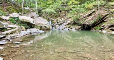
At the .4-mile mark, you will cross back over the burbling run. Be sure to note the small waterfall to the right as you cross on the rocks.
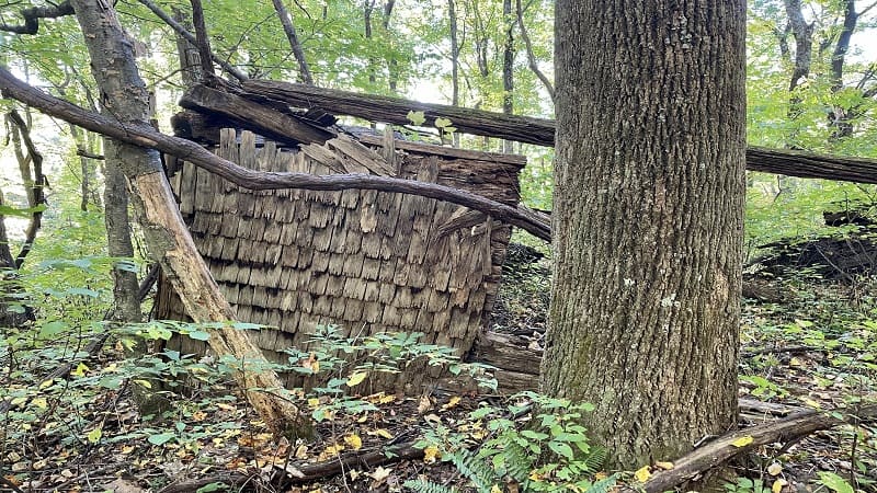
You will arrive at the remains of an old wooden cabin at the 1.1-mile mark. It’s just off the trail on the left. The rocky trail has become a bit more steep, so this is a nice break.
At the 2.3-mile mark, pass the intersection with the Sam’s Ridge Trail, then cross over a very small stream. In a few more steps, keep your eyes open for a trail marker.
The Broad Hollow Trail ends at the 2.5-mile mark. Turn left for the Hazel Mountain Trail. There’s a bit more ascent, but then it’s all flat or downhill to the end.
Hazel Mountain Trail
Like the Broad Hollow Trail, the Hazel Mountain Trail is a quiet, shaded trail through the forest. There’s not much to see, except maybe in winter through leafless trees.
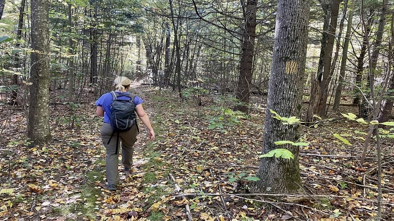
At the 3.0-mile mark, the yellow-blazed trail intersects with the Catlett Mountain Trail on the right. This leads all the way to the Pinnacles Overlook on Skyline Drive.
Pine Hill Gap Trail
At the 3.5-mile mark, the trail name changes from Hazel Mountain Trail to Pine Hill Gap Trail. Most likely, you will not even notice.
A very long black snake then crossed our path at the 3.7-mile mark. Thankfully, the snake wanted nothing to do with us. Eventually, he slithered across the trail.
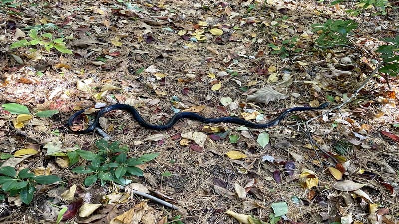
Continue along the Pine Hill Gap Trail. It’s calm and leafy, but there are no views. Even in winter with no leaves to block views, there are no overlooks or openings.
Certainly you will not see the views featured in the AllTrails reviews from the Broad Hollow Trail or Broad Hollow Loop. That was a touch disappointing. I do like views.
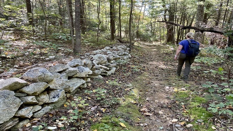
The last steps on this trail are on an old forestry road. You may find that this section is boggy and not as well maintained as the early sections of this trail.
Abandoned Trailers
At the 5.9-mile mark, the trail re-connects with Rolling Road (State Route 681). You will walk along a flat road with mostly full sun.

You’ll quickly spy several old, dilapidated trailers that are no longer occupied. These may have been the most interesting views of the entire hike.
You first come upon a red and white trailer that’s long since been abandoned. There is, however, a mailbox. It’s in relatively good shape, too.

There is also an old cabin and an old motorhome with a tree that’s fallen on top. We took in the views from the road. It was probably too dangerous to get close.
You will close the loop and reach your vehicle at the 6.2-mile mark.
Wrap-Up Notes
From our cars, this hike in Rappahannock County took us nearly three hours. It was not a difficult hike, but there was some good heart-pumping elevation, so it was a nice workout.

Post-hike, I suggest a short drive (10-12 mins) into Sperryville for lunch on the shaded outdoor patio at Sperryville Trading Café and Market.
They have grill sandwiches and burgers, as well as soft drinks, chips and beer. It was the perfect stop after this calorie-torching hike.

Erin Gifford has completed more than 300 hikes in Virginia. She is also the author of three hiking guidebooks from Falcon Guides. Need help finding a hike? Check out the Trail Finder feature or send Erin an email at [email protected].


