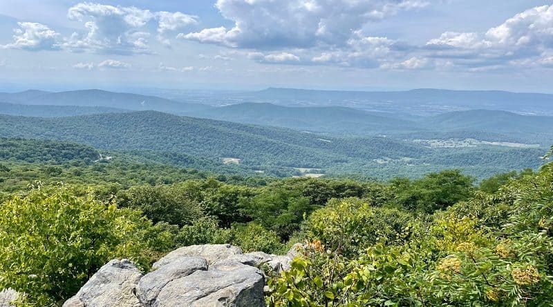
Hightop Mountain: Hike to One of the Highest Peaks at Shenandoah National Park
At 3,587 feet tall, Highhtop Mountain is the highest peak in the South District of Shenandoah National Park. A 3.0-mile round trip hike leads to the summit.
The rocky viewpoint atop Hightop Mountain can be reached by way of the white-blazed Appalachian Trail. The far-reaching views are spectacular, too.
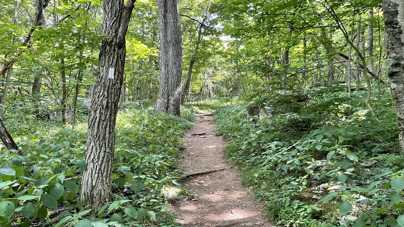
The elevation gain to reach the Hightop summit is 912 feet over 1.5 miles (one-way), so it’s a moderately steep hike, but one with a beautiful overlook.
The Hightop Mountain hike is a great little hike on Skyline Drive, if not as popular as nearby hikes, like Blackrock Summit and Bearfence Mountain.
| Trail Stats | |
|---|---|
| Length | 3.0 miles |
| Difficulty | Moderate |
| Trail Type | Out-and-Back |
| Elevation Gain | 912 feet |
| Duration | 1.5-2 hours |
| Terrain | Mostly dirt & rock trails |
| Dog-Friendly | Yes |
| Fee | $30 per vehicle (good for seven days) |
| Driving Directions | Click Here |
Skyline Drive
The Hightop Mountain parking area is located on the west side of Skyline Drive at mile marker 66.7. This is two miles south of the Swift Run Gap entrance station.
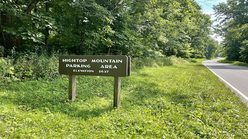
It’s a small parking lot, with only enough spaces for eight cars. A hiking trail sets off into the woods from the north side of the lot, but this is not your trail.
Instead, cross Skyline Drive to hike a southbound section of the Appalachian Trail. There is no “Hightop Peak Trail” as AllTrails may lead you to believe.
On the east side of Skyline Drive there is a trail marker stamped with the AT symbol. The hike starts here with a gradual climb to the top of Hightop Mountain .
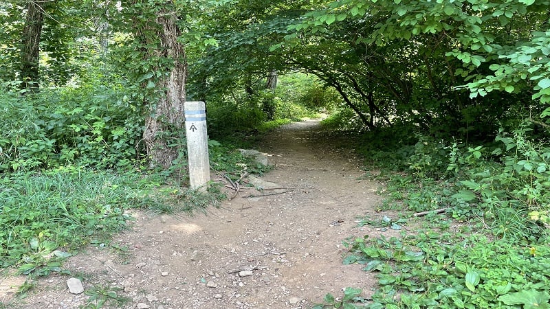
Appalachian Trail
You won’t get lost on this switchback-laden trail. It’s well-marked with the white blaze. You also won’t see much on the way to the summit, but it is shaded.
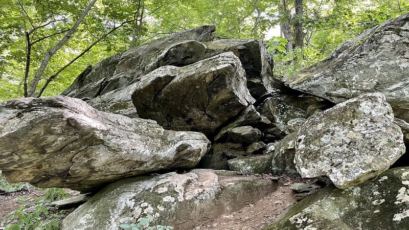
At the 0.2-mile mark, you’ll see large boulders. At the very least, it’s a nice break from the trees that make up the bulk of the scenery on the way up.
A side trail leads off on the right at the 1.4-mile mark. It looks like there may be a great view, but there’s not, at least not in summer. Keep on hiking, friends.
In a few more steps, you’ll see a backcountry camp site tucked away 10 or 15 feet off the trail on the left. It’s well-cleared with space for at least one or two tents.
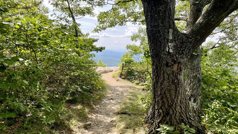
At the 1.5-mile mark, you have arrived at the summit of Hightop Mountain. It’s quite dramatic as you spy mountain vistas through a small opening in the trees.
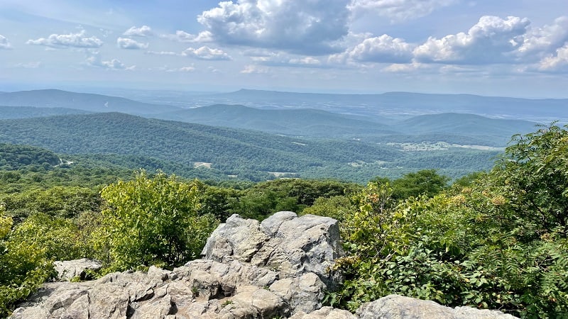
Walk onto the rocks for 180-degree west-facing vistas. Savor breathtaking panoramas. From here, re-trace your steps to the Hightop parking area.
Wrap-Up Notes
From the parking area, this out and back hike took me 75 minutes, including time spent ogling the views across the southern part of the Shenandoah Valley.
Looking for a second hike in the southern district of Shenandoah National Park? One of the popular hikes leads to South River Falls, one of the tallest waterfalls.
Tackle the hike to South River Falls as a loop (5.1 miles) or an out-and-back (4.6 miles). This is ranks up there as one of my favorite hikes on Skyline Drive.

Erin Gifford has completed more than 300 hikes in Virginia. She is also the author of three hiking guidebooks from Falcon Guides. Need help finding a hike? Check out the Trail Finder feature or send Erin an email at [email protected].

