Walnut Creek Park: Enjoy 12+ Miles of Easy Wooded Hiking Trails in North Garden, Virginia
The 525-acre Walnut Creek Park in North Garden, Virginia is a true delight thanks to more than 12 miles of easy-going hiking trails.
Walnut Creek Park is a short 20-minute drive southwest of the Downtown Mall in Charlottesville. It also feels worlds away. It’s so quiet and serene.
Well, it can be. I was there on a chilly late-November morning, so that may have impacted the number of visitors at the park on that particular day.
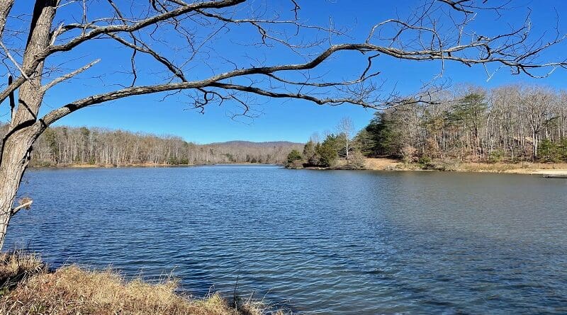
The centerpiece of this Albemarle County park is 45-acre Walnut Creek Lake. The lake is used for fishing, paddling and swimming. There is also a swimming beach.
Walnut Creek Park Trails
There are 10 named trails at Walnut Creek Park. They have fun names too, like The Blue Wheel, Bike Factory Trail, Wahoo Way and Jungle Trail.
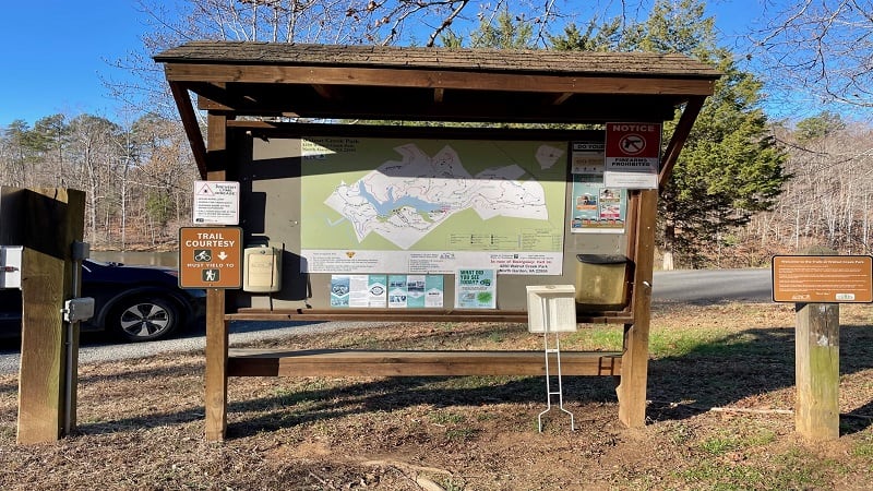
All of the trails can be used by hikers, dog walkers and mountain bikers. There are all levels of trails too, though the levels on the map are really for bikers.
The longest trail is Wilkins Way, which is 4.0 miles. The shortest trail is Wahoo Way at only .3 mile. The latter is more of a connector trail, however.
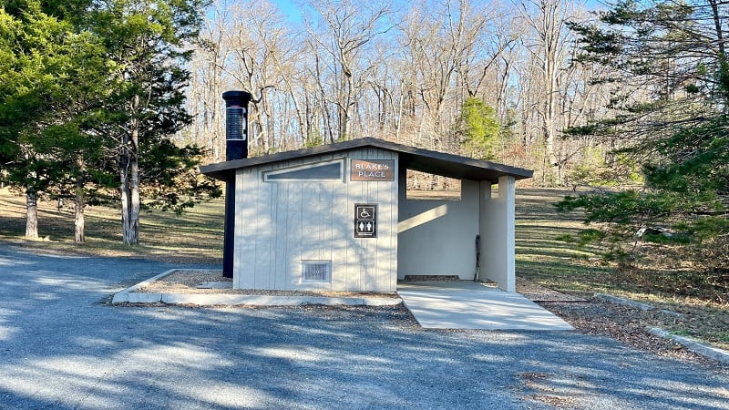
Across the park, you’ll also find benches, picnic shelters and restrooms. There is also a disc golf course. There are boat rentals in warm summer months.
#1: Wilkins Way
On my recent visit, I completed two hiking trails. The first was the red-blazed Wilkins Way. This hike was 4.7 miles and included a stretch beside the lake.
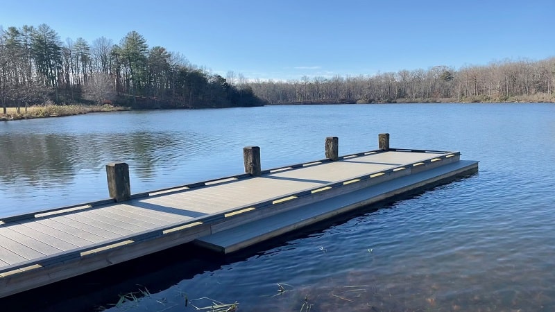
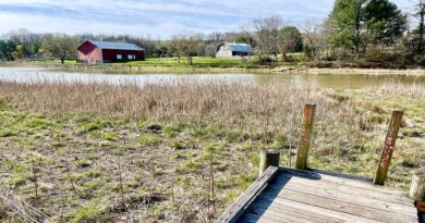
This hike starts from the first parking lot on the right as you enter Walnut Creek Park. There are restrooms, as well as a boat launch and a fishing pier.
At the far end of the lot, you can also pick up the .6-mile Jungle Trail, which leads to the second parking lot, as well as the swimming beach and boat rentals.
I tackled this loop hike counter-clockwise in order to enjoy the lake views at the end. I always like to save the best bits for last on my hikes.
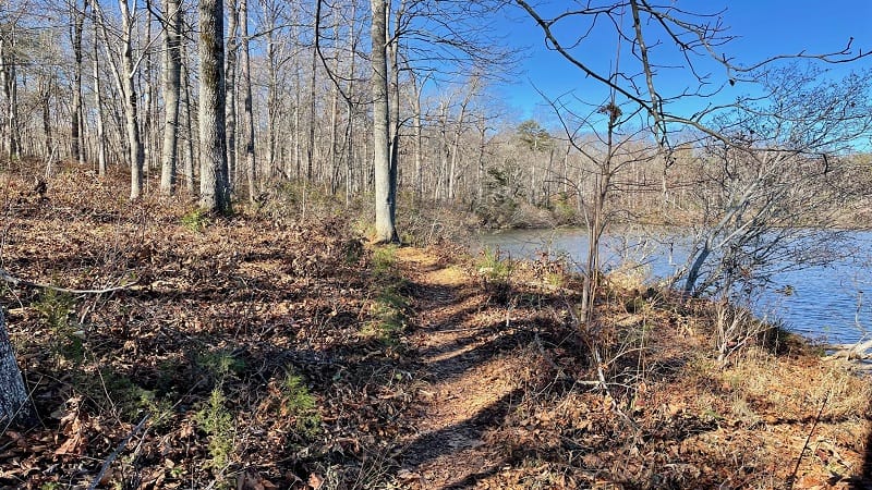
You will not be on Wilkins Way the entire hike. Near the end, a short-stretch of the green-blazed Luke’s Loop completes the circle.
Trails Entrance
At the front of the lot, you’ll see a large trail kiosk with a trail map. Just past the kiosk you’ll see a sign that reads “Walnut Creek Trails Entrance.”
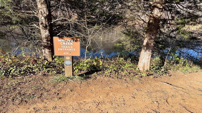
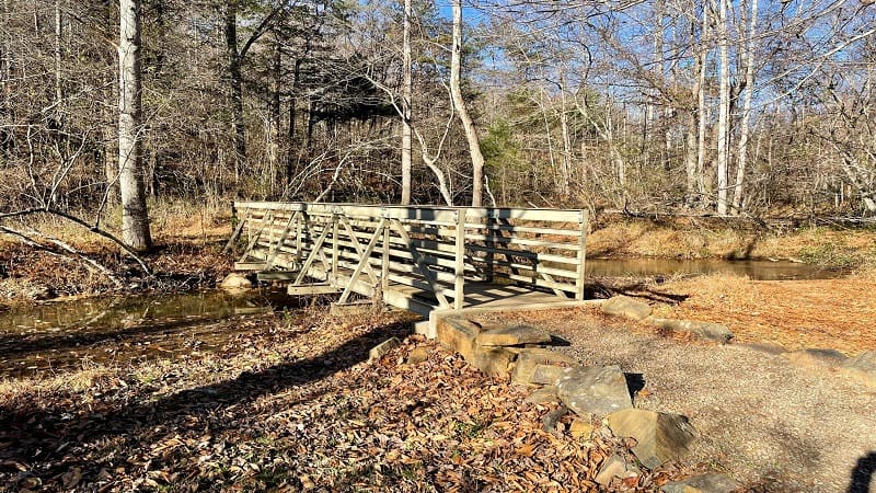
From the trailhead, you’ll cross a wooden footbridge over a stream after a few steps. At the fork, bear right for a counter-clockwise loop on Wilkins Way.
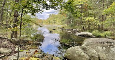
There’s a water crossing at the .3-mile mark, then a historic home site on the right. Continue on to reach another water crossing at the 1.1-mile mark.
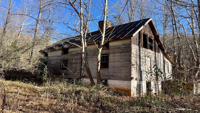
From here, it’s mostly a quiet wooded walk that gently meanders through the forest. The path sidles up against the lake at the 3.1-mile mark.
Walnut Creek Lake
From here, Wilkins Way hugs the shoreline so you’ll be able to enjoy lots of nice views across the small lake.
You’ll cross a small footbridge at the 3.6-mile mark. Then, you’ll walk out onto a peninsula for open lake views at the 3.9-mile mark.
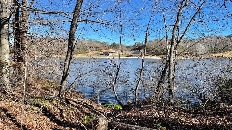
Here you also have easy views across the lake to the swimming beach. As you continue on, you’ll reach a wooden bench at the 4.5-mile mark.
In another .1-mile mile, you’ll close the loop (following Luke’s Loop at this point). Turn right when you see the wooden footbridge to complete this hike.
#2: The Blue Wheel
While at Walnut Creek Park, I also hiked The Blue Wheel. This loop hike clocked in at 2.3 miles for me, and also included views of Walnut Creek Lake.
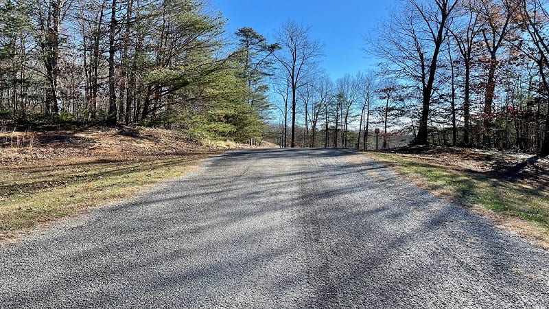
You’ll want to start from the far lot at Walnut Creek Park, which is the lot for the swimming beach and boat rentals. There are restrooms at this lot, too.
The hike begins with a short walk on a wide gravel road. You’ll soon see a sign for “Blue Wheel Loops” with a picture of a cyclist. Do not start the trail here.
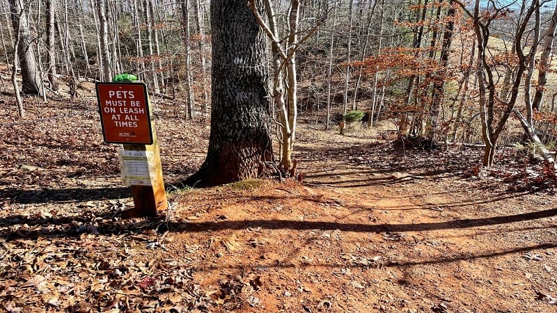
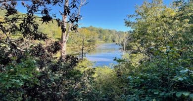
There is a second entrance on the left that’s more accommodating to hikers. In a few more steps, you’ll be adjacent to the lake.
You’ll also be walking on the disc golf course, so stay alert. At the .2-mile mark, you must walk across the starting pad for the 18th hole.
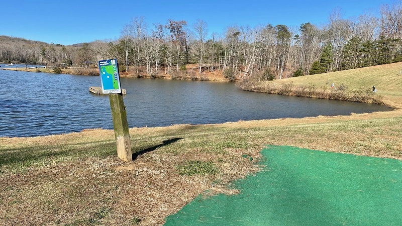
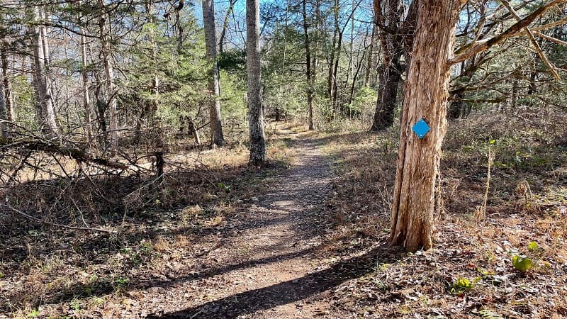
Then, you’ll enter the woods to continue on the blue-blazed The Blue Wheel. Enjoy lake views on your right as you hike.
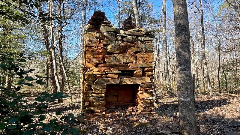
By the 1.0-mile mark, you’ll turn away from the lake, but then you’ll reach an old stone fireplace at the 1.4-mile mark. It’s all that remains of a former home.
You’ll close the loop as you return to the 18th hole at the 2.1-mile mark. From here, retrace your steps to the parking area to complete your hike.
Wrap-Up Notes
All of the hikes at Walnut Creek Park are considered easy to moderate. There is some elevation here and there to get your heart pumping as you walk.
For more hikes in and near Charlottesville, you may want to check out the Ivy Creek Natural Area or Saunders-Monticello Trail. Both are fantastic.
Post-hike, consider a stop at Three Notch’d Brewing Company for craft beers and a full lunch menu. Three Notch’d is adjacent to IX Art Park.

At the art park, you’ll find a LOVE sign, as well as lots of quirky, colorful art works and sculptures. Be sure to wander the curious park before you leave.

Erin Gifford has completed more than 300 hikes in Virginia. She is also the author of three hiking guidebooks from Falcon Guides. Need help finding a hike? Check out the Trail Finder feature or send Erin an email at [email protected].

