Algonkian Regional Park: A Wooded River Hike to Love in Sterling, Virginia
I just returned from Algonkian Regional Park in Sterling, Virginia and it’s time for a new installment of “cool hikes in my backyard that I had no idea existed.”
I’ve been to Algonkian many times, but mostly for the outdoor waterpark and mini golf course. I also went there once for a cross-country meet.
There’s a lot at this park, including a golf course, a playground and picnic shelters. There’s also a boat launch for canoes, kayaks and motor boats.
This was my first visit to check out the hiking trails. I learned – by the end of my hike – that most of the trails are not actually on park property.
| Trail Stats | |
|---|---|
| Length | 4.0 miles |
| Difficulty | Easy |
| Trail Type | Loop |
| Elevation Gain | 115 feet |
| Duration | 2-2.5 hours |
| Terrain | Mostly dirt trails, some gravel |
| Dog-Friendly | Yes |
| Fee | Free |
| Driving Directions | Click Here |
Horsepen Run
Algonkian connects to an eight-mile trail system of 11 short trails that criss-cross a private nature preserve called Horsepen Run.
Horsepen Run is located in and managed by the adjacent neighborhood, CountrySide. Technically, the trails are for residents and guests.
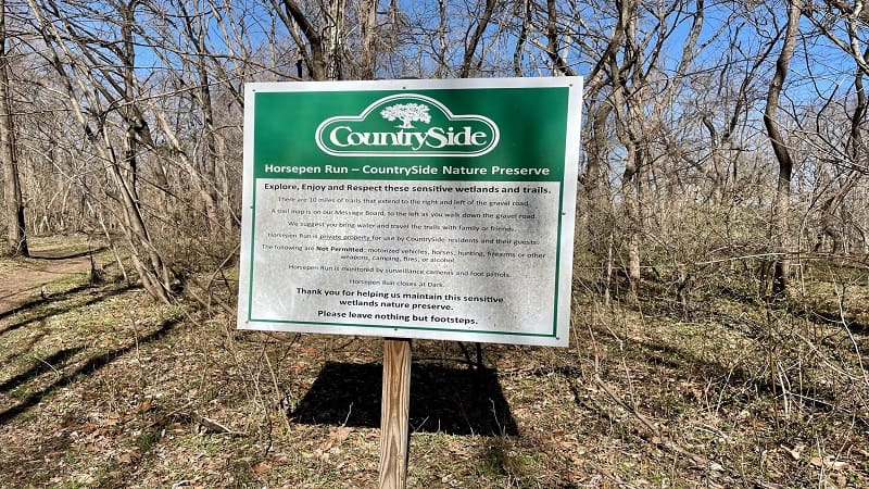
Three hiking trails – East River Trail, White Trail and Barred Owl Trail – are located within both Horsepen Run and Algonkian Regional Park.
There is no fee to enter Horsepen Run. While there is signage noting that the trails are for residents and guests, it was fine that I was on the preserve trails.
Algonkian Regional Park
This hike begins from the large parking lot that’s just past Volcano Island Waterpark. At the west end, look for a trail kiosk and sign for the White Trail.
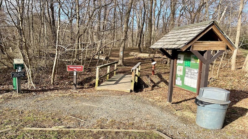
There is a trail map in the kiosk, but condensation from today and many previous days made it difficult to read.
From here, you’ll cross over a wooden footbridge. A tree on the left displays two blazes: white and blue.
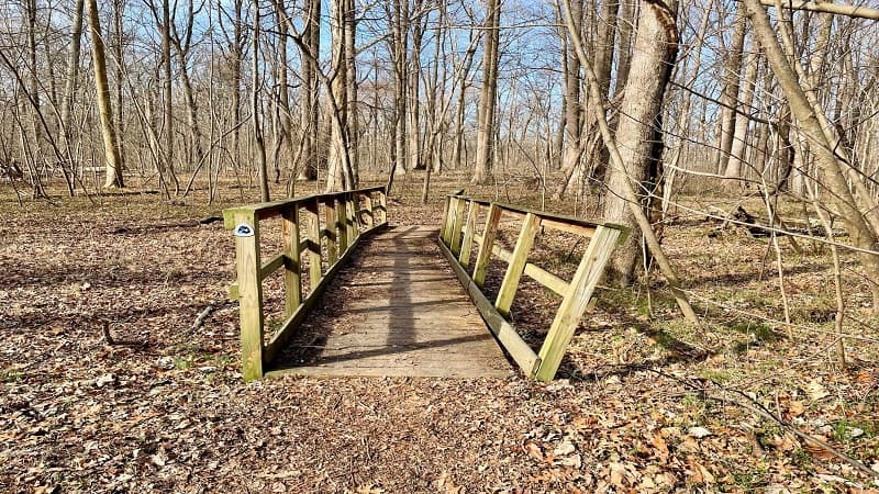
The white blaze is for the White Trail, while the Blue Blaze marks the Potomac Heritage Trail, a network of 700+ miles of trails that aren’t all connected.
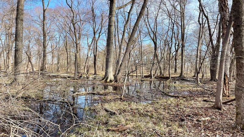
This wooded hike is calm and serene. At the .4-mile mark, you’ll reach a fork in the trail after crossing two more wooden footbridges.
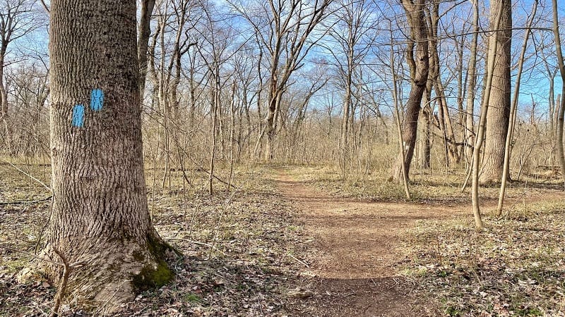
There is a tree on the left with a double blue blaze indicating that you stay to the right when the trail splits in two.
In the next few steps, it starts to get tricky. You’ll see trails on the left and the right, neither of which are well-marked (both are the Barred Owl Trail).
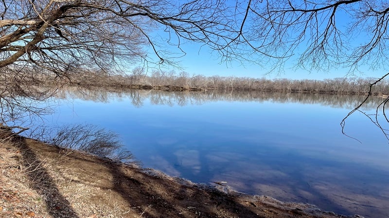
Instead, just keep walking straight ahead. You’ll descend, then follow the path to eventually walk west alongside the Potomac River.
East River Trail
You are now on the East River Trail within Horsepen Run. You won’t see any blazes. You’re more likely to see blazes covered up with brown or black paint.
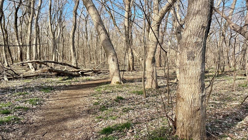
As I later learned, the hiking trails within Horsepen Run are marked with plastic ribbons instead of blazes. That noted, absolutely print a trail map.
The trails within Horsepen Run are not well marked (I don’t consider small ribbons to be good markings). Thankfully, they are rather well-maintained.
I didn’t have a map. Instead, I made my way across Algonkian Regional Park and Horsepen Run with the GPS-enabled map on AllTrails. It was a lifesaver.
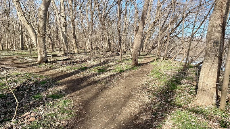
As a back-up, a printed trail map of Horsepen Run is a good idea. The map indicates the ribbon colors for each trail. It’s very easy to get lost, too.
Potomac River
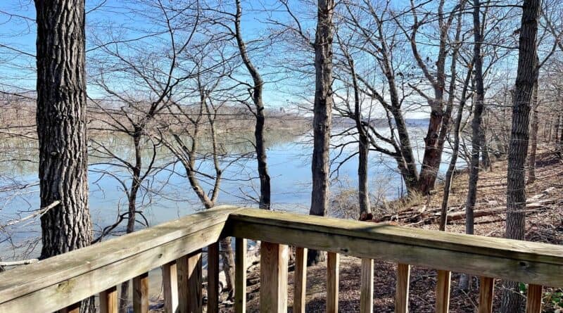
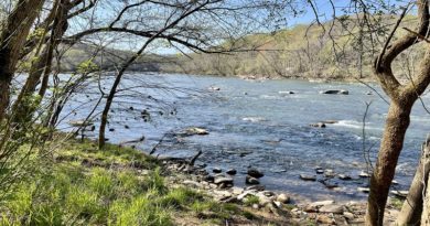
Walk west alongside the Potomac River. The river views are definitely best when there are no leaves on the trees.
At the 1.1-mile mark, you will reach Sugarland Run. You’ll also realize that you can no longer walk along the Potomac River.
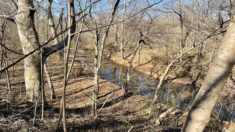
Yet, you can see that the trail continues on the other side of the waterway. Unfortunately, it’s too steep and too deep to cross Sugarland Run.
At this point, the trail cuts in and sidles up against the meandering waterway. The East River trail ends at the 1.3-mark. You will see a directional sign.
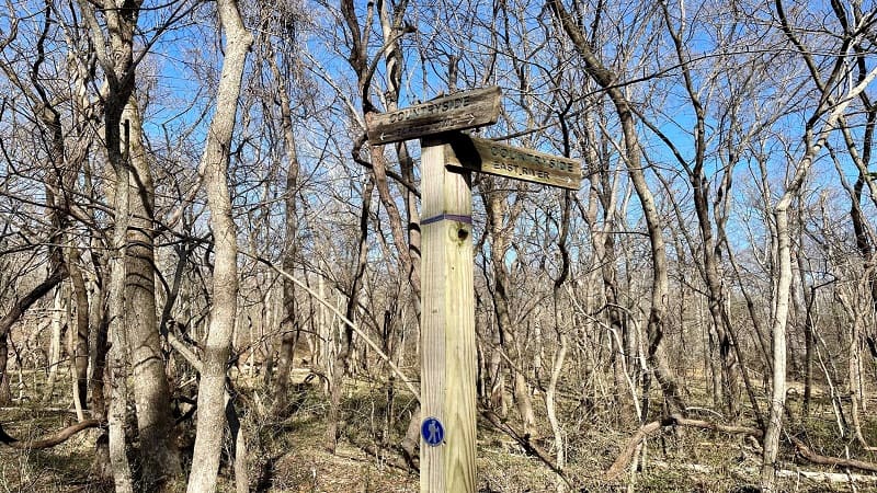
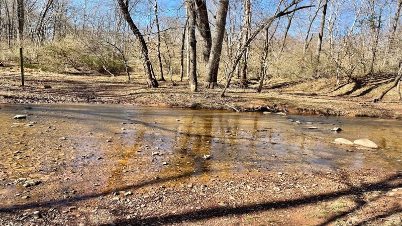
Turn right onto the Barred Owl Trail. In a few more steps, you’ll reach a water crossing. There are some rocks that allow you to hopscotch across the run.
However, you’re probably going to get your feet wet, so be prepared. The water is shallow, so kids may enjoy stomping and splashing in the water.
West River Trail
Once you cross the water, continue straight up the hill. You’ll reach a wide gravel road. Turn right here and take this path to the West River Trail.
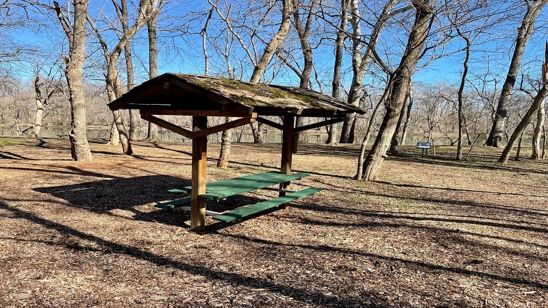
At the 1.6-mile mark, you’ll see a couple of picnic tables and benches. There is also a placard on the Trees of Horsepen Run, including white oaks.
Keep walking along the Potomac River. Interestingly, at the 1.9-mile mark you’ll reach two rusted pickup trucks that were abandoned many years ago.

You’ll walk south away from the river at the 2.2-mile mark. You’ll then see a signing noting that the Deer Trail leads south and east. I love confusing signs.
The Deer Trail is shaped kind of like a U, so at this junction you’re at the bottom of the U. Turn left to take this trail east to the end at the gravel road.
Barred Owl Trail
At the gravel road, turn right and then left to return to the water crossing. At the 3.1-mile mark, stay to your right for the Barred Owl Trail.
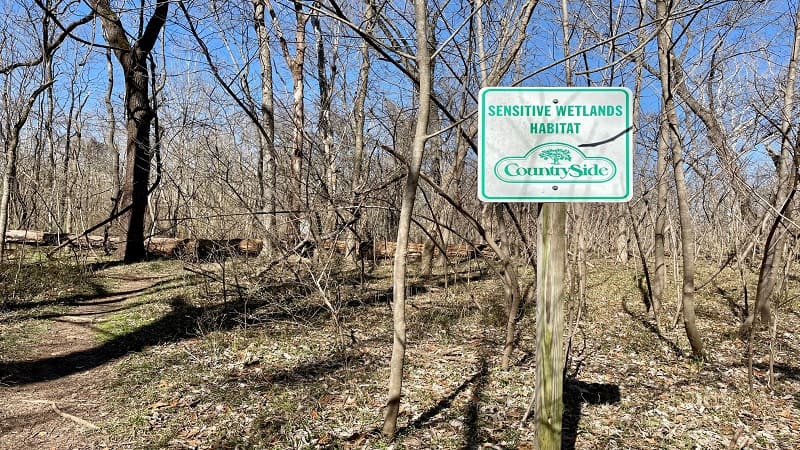
You’ll see a sign for Horsepen Run at the 3.5-mile mark. This was the first time I saw any signage indicating where I was (in CountrySide).
At the 3.6-mile mark, continue straight ahead for the Barred Owl Trail. You’ll then arrive at the turn-around at the end of Park Chalet Place (a paved road).
Riverfront Cottages
I opted to take the Barred Owl Trail here to see the riverfront cottages. There are 12 cottages that range in size from two to five bedrooms.
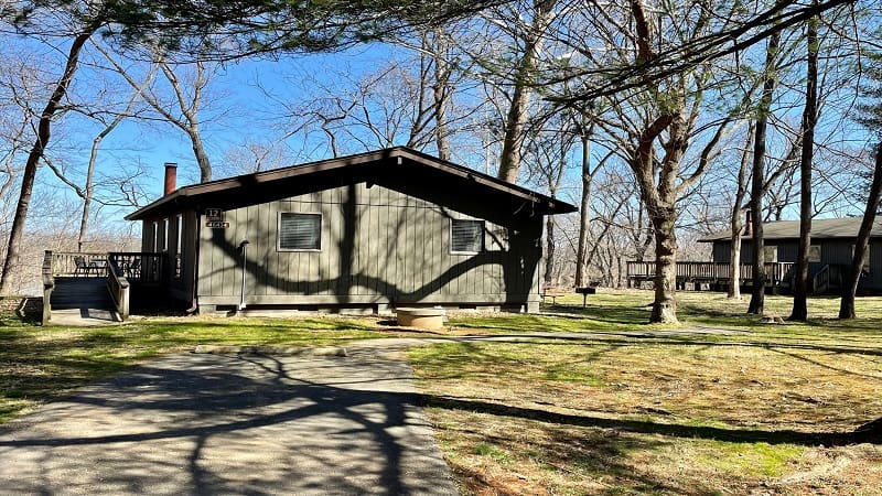
The cottages can be rented weekly or daily, though a two-night minimum is required for daily rentals.
All of the cottages have decks with river views. Thanks to their north-facing positions, guests can enjoy sunrises and sunsets from the wooden decks.
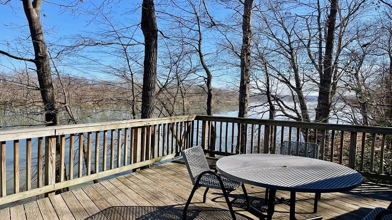
Once you pass the final cottage on the left, you’ll see a service road on the right. Turn right here, but keep your eyes open or you’ll miss the White Trail.
Turn left onto the White Trail at the 3.9-mile mark. This leads back to the parking lot, which you will reach at the 4.0-mile mark.
Wrap-Up Notes
From my car, this Northern Virginia day hike took me just over 90 minutes, including time spent checking out the cottages and reveling in river views.
This hike is so nice and quiet, but as I noted above, the section through Horsepen Run is not well-marked and it can be easy to get turned around.
I met a fellow hiker who was lost, or at the very least, she couldn’t tell how to get from the East River Trail to the West River Trail. I told her about AllTrails.
She downloaded the app right there, and hopefully she was able to go happily on her way though I did not see her again on my hike.

Erin Gifford has completed more than 300 hikes in Virginia. She is also the author of three hiking guidebooks from Falcon Guides. Need help finding a hike? Check out the Trail Finder feature or send Erin an email at [email protected].

