Wilburn Ridge: Where to See Wild Ponies at Grayson Highlands State Park
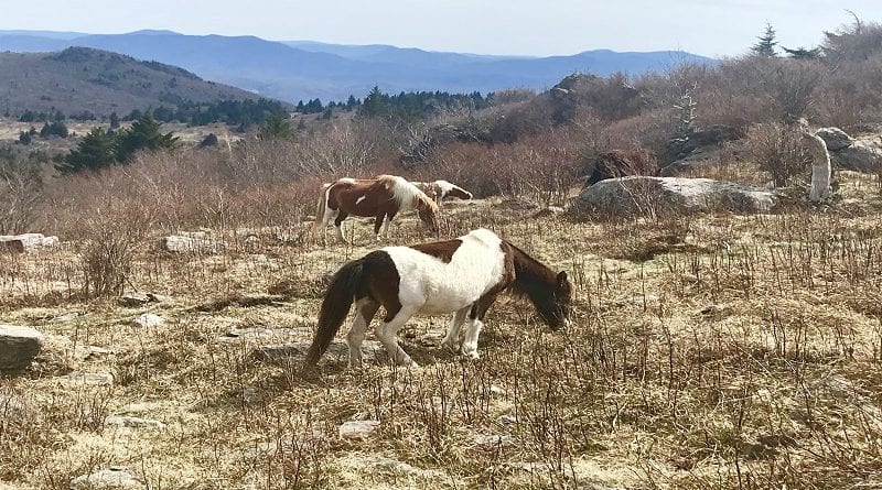
Grayson Highlands State Park in Mouth of Wilson, Virginia is home to free-roaming wild ponies. They can be seen across the open balds and grassy meadows.
Two fantastic Wilburn Ridge hikes allow hikers to take it all in, including high peaks, alpine-style meadows, wild ponies, even colorful rhododendrons.
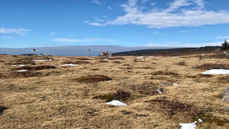
Wilburn Ridge
Wilburn Ridge is essentially ground zero in terms of where to see ponies at Grayson Highlands State Park, and both hikes start at Massie Gap.
At Massie Gap, there is a large parking area that runs parallel to Grayson Highland Lane, the primary road through the state park.
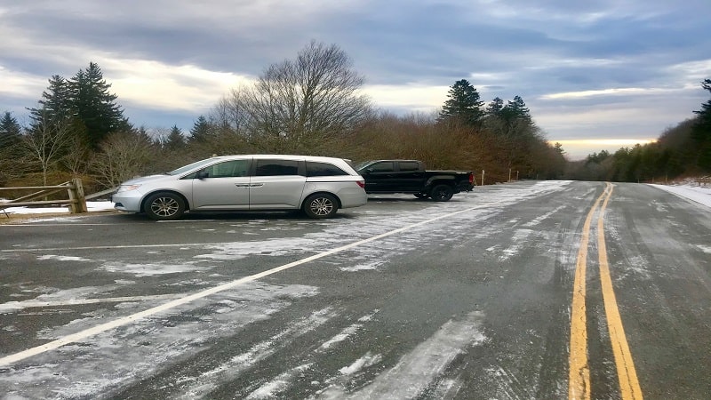
While there are a lot of spaces, they can fill up quickly. I was there in the off-season. Nearly every space was full by the time I finished both hikes late-morning.
There are many scenic sections of the park, but Wilburn Ridge is the most popular. It’s the only area where you can see ponies at Grayson Highlands State Park.
Hike #1: Massie Gap to Wilburn Ridge
From the parking area, cross over an open field to a large trail kiosk. To the left of the kiosk, you’ll see a wooden gate to walk through for the Rhododendron Trail.
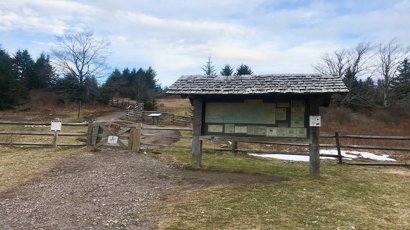
This gravel trail is a touch steep, but you may not notice since you’ll be so amped up about seeing wild ponies. Trust me.
At the 0.5-mile mark, you’ll reach a trail marker. Continue straight ahead for Horse Trail North, which is a dirt and rock trail (and can get quite muddy).
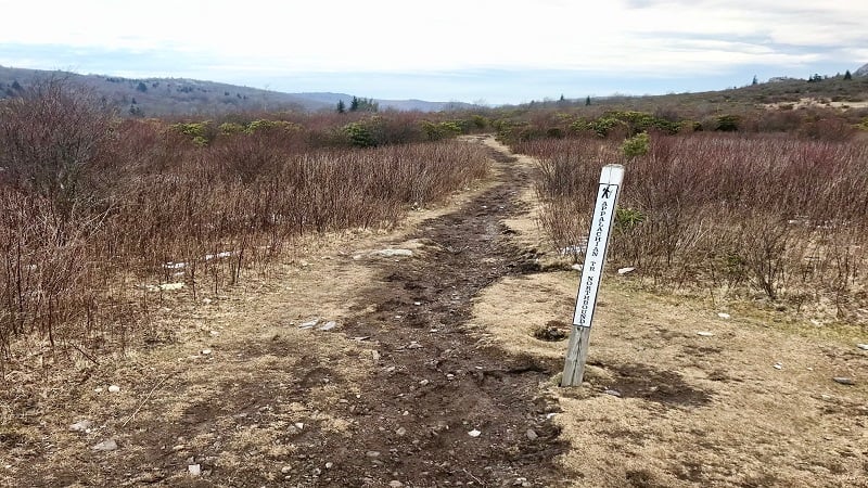
From here, you’ll begin to see wild ponies. In a few more steps, turn right for the Appalachian Trail (northbound).
At the 0.85-mile mark, you’ll see a large rock on the right. It’s a good one to scramble for wide-open views of the balds and alpine meadows.
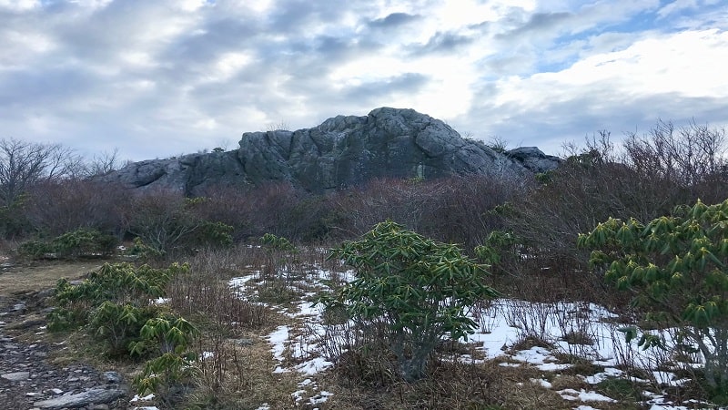
Near the 1.3-mile mark you’ll go down some steps, then reach a wooden trail marker. Walk straight ahead for the blue-blazed Appalachian Spur Trail.
Walk across Lower Wilburn Ridge, an open, grassy area frequented by wild ponies before entering hardwood forest. Keep steady, there are lots of rocks and roots.
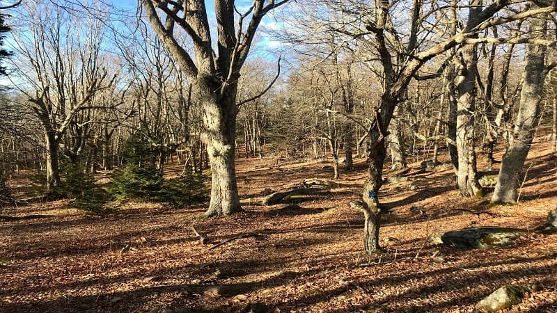
Mountains return to view on the left at the 1.7-mile mark where, though the trail will duck back into the forest before this Southwest Virginia hike is complete.
At the 2.1-mile mark, walk through a wooden gate, then cross over a small creek. You’ll emerge from the forest in the designated overnight lot for backpackers.
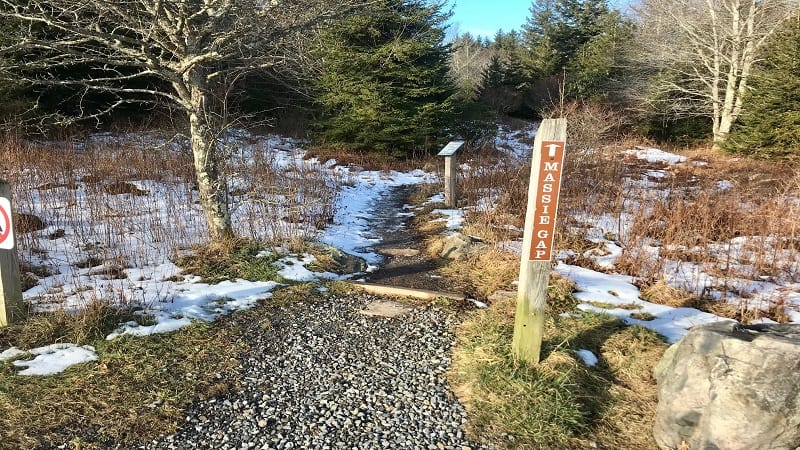
Look to your right and you’ll see a trail marked Massie Gap. Continue on this trail until you reach Massie Gap. The parking area and picnic tables will be on the left.
Hike #2: Wilburn Ridge Via Appalachian Trail
This hike shares a trailhead with the Massie Gap to Wilburn Ridge hike. Cross the open field from your vehicle, then walk through the wooden gate next to the kiosk.

You are now on the gravelly Rhododendron Trail. At the 0.5-mile mark, you’ll reach a trail marker. Continue straight ahead for Horse Trail North.
Keep your eyes open for wild ponies, which call Wilburn Ridge home. In a few more steps, turn left for the Appalachian Trail (southbound).

At the 1.25-mile mark, you’ll walk across a grassy bald to a trail kiosk on the left and a bench on the right. This marks the end of Grayson Highlands State Park.
From here, you’ll walk through a wooden gate into Mount Rogers National Recreation Area. You’ll also reach a crazy trail intersection with four choices.
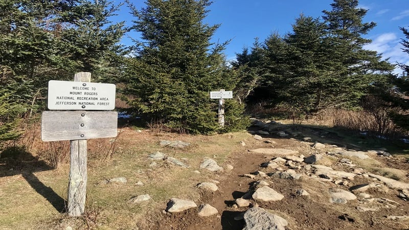
Choose the trail immediately ahead of you for Appalachian Trail (also, Rhododendron Gap, Mount Rogers). From here, it’s a fairly narrow, rocky trail.
At the 1.4-mile mark, you’ll reach a trail sign. You can continue ahead for the blue-blazed Wilburn Ridge Trail or take the right-most trail for the Appalachian Trail.
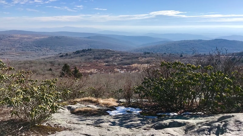
I opted for the Appalachian Trail, but both trails will arrive at the same endpoint. On the AT, you’ll reach a rocky outcrop at the 2.0-mile mark. Savor the views.
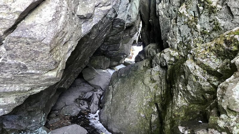
At the 2.1-mile mark, you’ll walk through what felt like a slot canyon. It was also super icy. Yikes. Make a note, must get some microspikes for hiking.
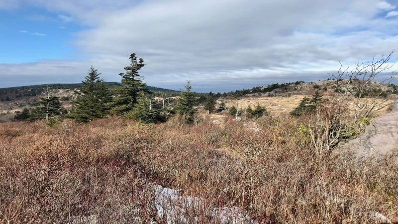
Once through the slot canyon, you’ll be on the grassy bald that is Wilburn Ridge. It’s gorgeous and views all along this hike are unlike so much of Virginia.
This is an out-and-back hike, so simply re-trace your steps and take in all the far-reaching mountain views all along the way.
Alternatively, you can return on the blue-blazed Wilburn Ridge Trail which ends at Wilburn Ridge. This re-connects with the Appalachian Trail after about 0.8-mile.
Wrap-Up Notes
The Massie Gap to (Lower) Wilburn Ridge hike took me one hour, while the Wilburn Ridge via Appalachian Trail hike took me just over two hours.
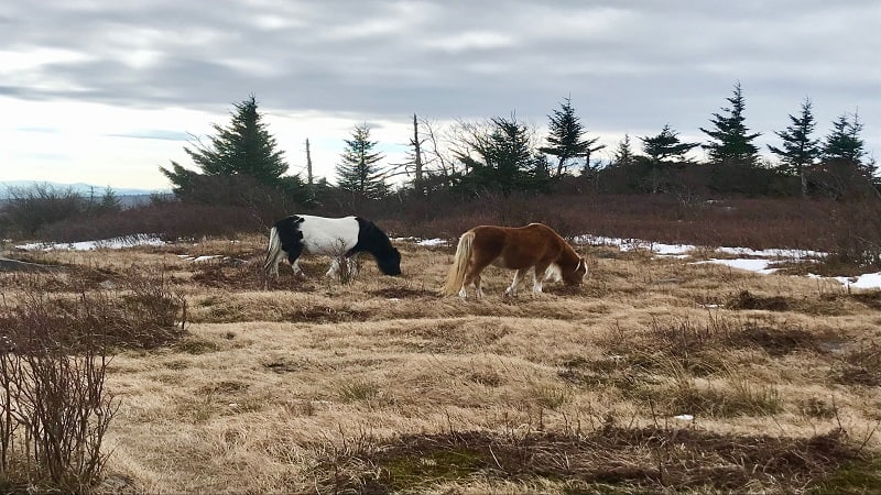
I’m so glad I completed both hikes, but if I could only do one, I would choose the longer hike to Wilburn Ridge by way of the Appalachian Trail.
I saw more wild ponies on this hike and I was able to revel in more scenery that is unique to Grayson Highlands State Park, like grassy balds and alpine-style peaks.
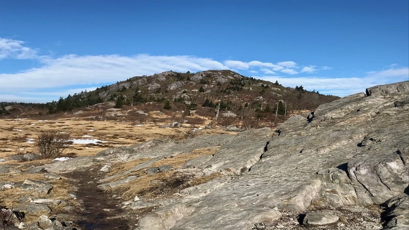
The forested section on the Massie Gap to Wilburn Ridge hike was nice, but I could see that on plenty of other trails across Virginia, including on many closer to home.
Grayson Highlands State Park is truly a gem. I wish this state park was closer to where I live, but I will definitely be back in the new year.

Erin Gifford has completed more than 300 hikes in Virginia. She is also the author of three hiking guidebooks from Falcon Guides. Need help finding a hike? Check out the Trail Finder feature or send Erin an email at [email protected].

