Three Ridges: This Strenuous Loop Hike Rewards with Wide-Open Mountain Vistas
Three Ridges is a popular 15.0-mile loop hike in the George Washington National Forest that includes steps on the Appalachian Trail and Mau-Har Trail.
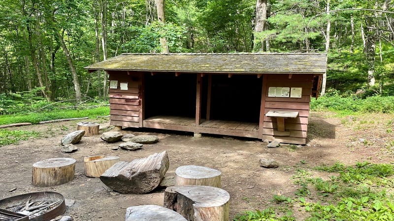
This hike has summit views, rock scrambles, cascading waterfalls along Campbell Creek and two Appalachian Trail shelters – Harpers Creek and Maupin Fields.
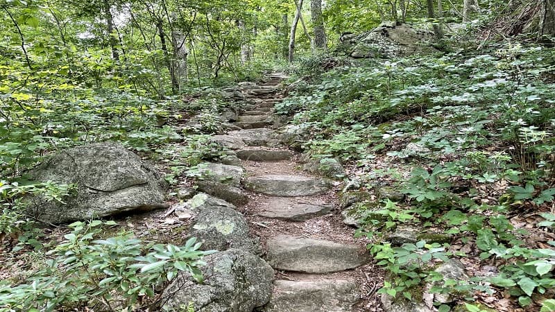
The Three Ridges hike, which begins less than 30 minutes from Waynesboro, can be done in one day, but be prepared for an elevation gain of nearly 4,000 feet.
Alternatively, many hikers – including me – tackle Three Ridges as a backpacking overnight trip. The first day is 8.5 miles, while the next day is 6.5 miles.
| Trail Stats | |
|---|---|
| Length | 15.0 miles |
| Difficulty | Strenuous |
| Trail Type | Lollipop |
| Elevation Gain | 3,940 feet |
| Duration | 9-10 hours |
| Terrain | Mostly dirt & rock trails, some stairs & scrambles |
| Dog-Friendly | Yes |
| Fee | Free |
| Driving Directions | Click Here |
Three Ridges Hike Parking
For this hike, park at Reids Gap. Or, Reeds Gap. I’ve seen it written both ways. It’s at the intersection of the Blue Ridge Parkway and State Route 664.
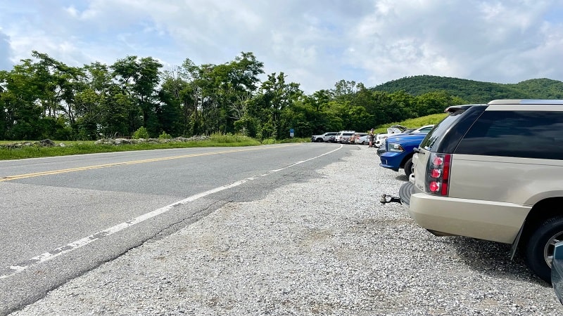
It’s not a large parking lot. There’s room for maybe 15 or 20 cars. It fills up quickly too since this is a very popular hike in Nelson County, Virginia.
The marker for the Appalachian Trail is just past the last car in the parking area. For mapping purposes, the address is 5832 Beech Grove Road, Roseland.
Appalachian Trail
The hike begins with an ascent alongside a meadow on the Appalachian Trail. You will soon enter the woods of the Three Ridges Wilderness.
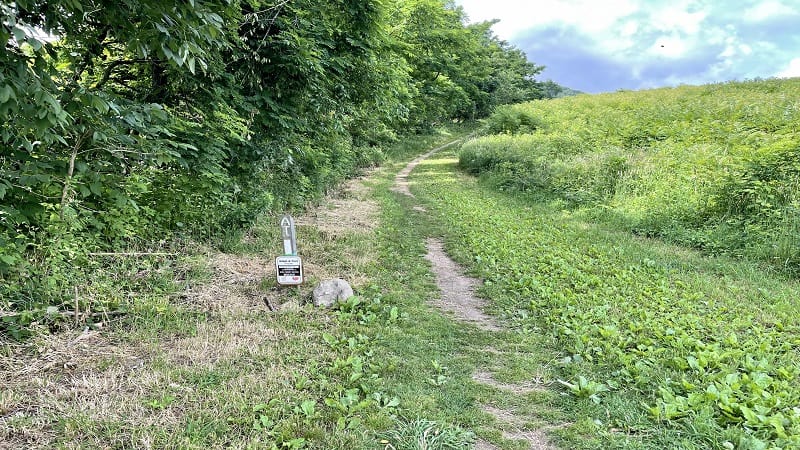
At the 0.8-mile mark, you will reach a vista that’s easy to miss, but you won’t want to miss this reward for the initial climb on this hike.
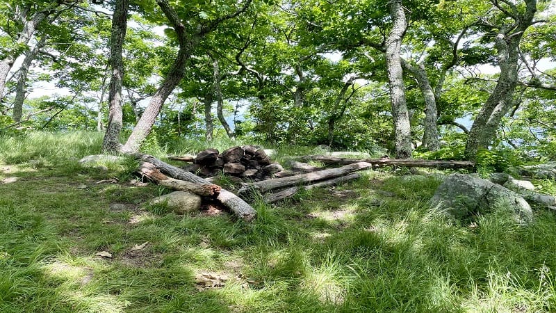
Keep your eyes open. You’ll first see a camp site with a fire ring on the left. On the right, a short spur trail leads to a rocky west-facing overlook.
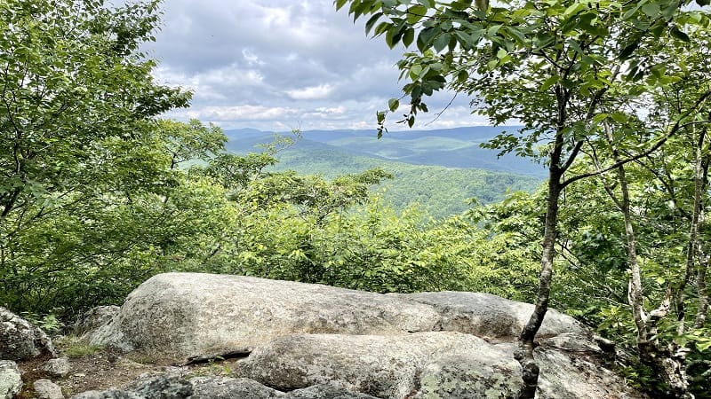
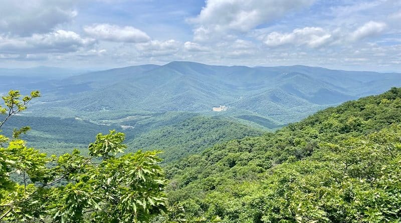
The views are fantastic, but they are just a taste of what to expect from the rocky overlooks that turn up later on in this summit hike.
From the overlook, re-trace your steps, then turn right for the southbound Appalachian Trail. At the 1.7-mile mark, you’ll reach an intersection.
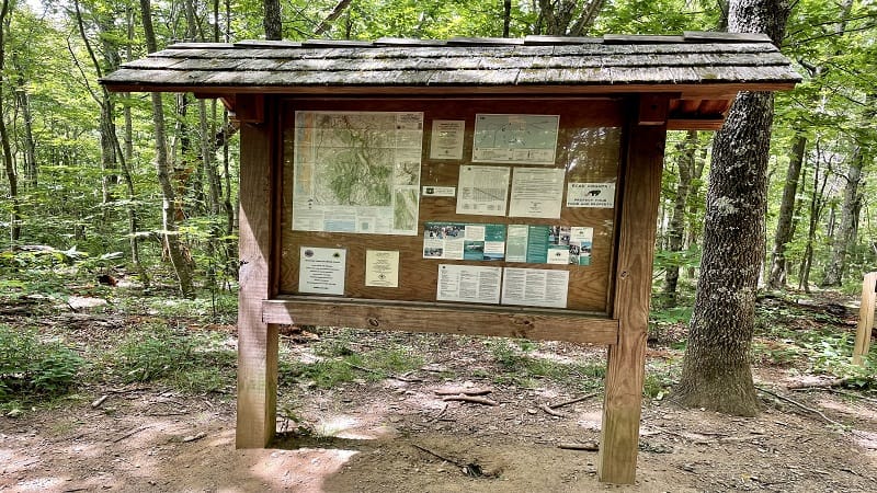
There is a mileage-based trail sign, as well as a large trail kiosk. From here, the Three Ridges summit is 2.9 miles along the Appalachian Trail.
Stay to the left for the AT. The trail to the right is the Mau-Har Trail, which is the trail to return on for this loop hike. It’s a toughie, too.
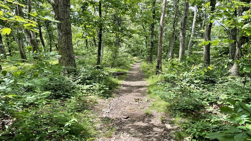
The ascent now begins to Three Ridges. You’ll go up and over Bee Mountain at the 2.3-mile mark, though it’s unremarkable. No views. Keep climbing.
Three Ridges Overlook
You’ll reach a switchback and a set of stairs at the 3.7-mile mark. In a few more steps, you’ll reach a rocky outcrop on the right with beautiful vistas.
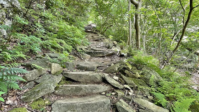
This is a great place to stop for lunch. When I arrived there were already 6-8 people snacking, resting and re-hydrating at the overlook.
For day hikers, this is a perfect turn-around point. As in, eat lunch, enjoy the spectacular views, then re-trace your steps for a 7.6-mile day hike.
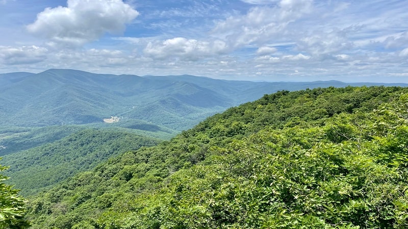
From here, continue on the Appalachian Trail. You’ll pass a few camp sites and fire rings, as well as a few obscured mountain vistas.
If you use AllTrails to follow the trail route, I can tell you that there is no vista at the “Three Ridges” mark on the map. Only a short spur trail to a camp site.
At this point, you’ve hiked 4.8 miles. You’ll see a trail sign indicating that the Harpers Creek Shelter is 3.2 miles away, but really it’s more like 3.7 miles.
From here, you will descend all the way to Harpers Creek Shelter. There will be some rock scrambles and switchbacks. Hiking poles are helpful.
Take pause at the 6.2-mile mark. You’ll see an opening on the left-hand side. Walk out to the rocks for views from the small overlook at Chimney Rock.

As you continue downhill, there are several wide-open valley views. It’s then a shaded walk until you reach the Harpers Creek Shelter near the 8.5-mile mark.
Harpers Creek Shelter
You will reach a T-intersection. You can turn right for the shelter, the privy and several camp sites on both sides of Harpers Creek.
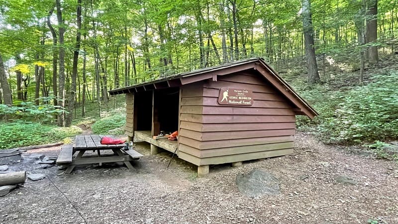
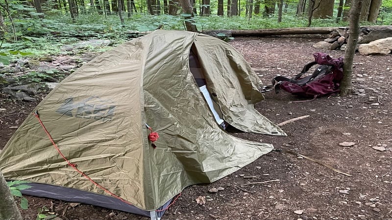
If you turn left, you will reach more camp sites with fire rings. I was backpacking with a group so we set up our tents, ate our dinners, then settled in for the night.
The next morning, we broke camp and were on our way by 7:45 am. I didn’t know what to expect from the day, but that was probably a good thing. It was very steep.
We continued along the Appalachian Trail. Once we exited the main camping area, we crossed over Harpers Creek and the ascent quickly began.
Mau-Har Trail
At the 9.4-mile mark, you will reach the Mau-Har Trail. Alternatively, you can stay on the AT. From here, it’s another 1.7 miles to the parking area at State Route 56.
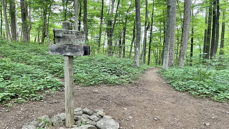
This is another great option if you want to do a point-to-point hike and arrange shuttle transportation back to Reeds Gap. This would be an 11.1-mile hike.
We turned right onto the blue-blazed Mau-Har Trail. From here, you’ll ascend for nearly a mile, up a switchback section of trail. It’s very steep in some places.
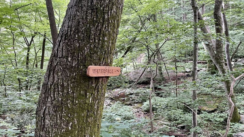
You’ll then descend. At the 11.1-mile mark, you’ll reach a yellow-blazed trail and a sign for a waterfall on the left. Unfortunately, we did not see a waterfall.
I think it was the time of year. The water levels were low. There was a small pool of water and some cascades, but it was just okay, so we pressed on.
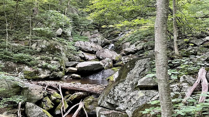
From here, it’s nearly all uphill for 3.9 miles. The Mau-Har Trail parallels Campbell Creek for much of this mileage. There are some small falls here and there.
There are also a few places where you can step out to a small watering hole. You’ll cross over Campbell Creek a couple of times, but there are no views.

Maupin Fields Shelter
You will reach the Maupin Fields Shelter at the 13.0-mile mark. This area is similar to Harpers Creek with a shelter, a picnic table and lots of camp sites.
I was exhausted by the time I arrived at Maupin Fields. I took off my pack, drank the last few sips from my water bottle and prepared for the final push.
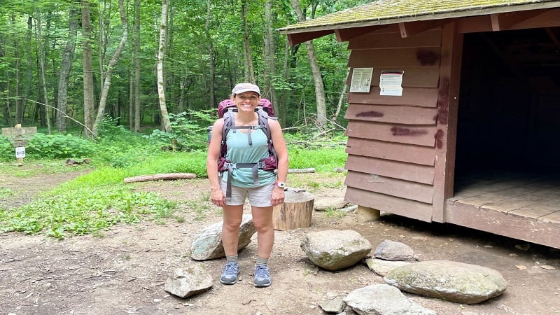
From here, continue past the shelter. There are three trails through the camp sites that all re-connect at the Appalachian Trail at the large trail kiosk.
Turn left to continue on to Reeds Gap. In a few steps the trail splits and a fire road sets off to the left. Stay right for the white-blazed Appalachian Trail at the marker.
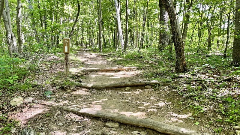
You are still climbing at this point, but you (finally) reach the end of the climb at the 14.2-mile mark. This is also the location of the very first vista and camp site.
The descent now begins and you will reach the parking area in a little bit, at the 15.0-mile mark. It’s time to celebrate. This is one tough hike.
Hike Options
As I noted in the above overview, there are two good options for shorter day hikes in Central Virginia, both of which skip the Mau-Har Trail.
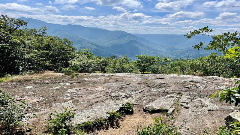
The first is an out-and-back hike to the primary vista at the 3.8-mile mark. Savor the views, then re-trace your steps for a 7.6-mile hike. Highly recommend.
The second is an 11.1-mile point-to-point hike from Reeds Gap to State Route 56 (Tye River). You’d need to arrange a shuttle to your car, but this is a good option.
Wrap-Up Notes
From the Reeds Gap parking area, my total hiking time (moving time) was under eight hours. The full hike could be done in one day, but a very long day.
I loved doing this 15.0-mile Three Ridges loop hike as a two-day backpacking trip. I understand why this hike is among the best backpacking loops in Virginia.
If you go, I suggest a spring or fall hike in order to see cascades and waterfalls along Campbell Creek. As in, when water levels are higher than in summer.
Since the Mau-Har Trail is very, very steep, it would have been nice to see tumbling falls, to at least take my mind off the climb late in the Three Ridges hike.

Erin Gifford has completed more than 300 hikes in Virginia. She is also the author of three hiking guidebooks from Falcon Guides. Need help finding a hike? Check out the Trail Finder feature or send Erin an email at [email protected].

