Read Mountain Preserve: A Scenic Hike to Buzzards Rock in Roanoke County, Virginia
Before the pandemic, long before Go Hike Virginia was even a twinkle in my eye, I hiked to Buzzards Rock at Read Mountain Preserve in Roanoke County.
At 243 acres, Read Mountain is one of the largest recreation areas in Roanoke County. It’s home to five blazed hiking trails, including the Buzzards Rock Trail.
The blue-blazed Buzzards Rock Trail is both the longest and most popular of the five trails. Naturally, it leads to an epic overlook called Buzzards Rock.
This moderate 3.5-mile hike is a great way to start or end the day. It’s also hard to believe that the trailhead is tucked way in a single-family subdivision.
| Trail Stats | |
|---|---|
| Length | 3.5 miles |
| Difficulty | Moderate |
| Trail Type | Out-and-Back |
| Elevation Gain | 856 feet |
| Duration | 2-2.5 hour |
| Terrain | Mostly dirt & rock trails |
| Dog-Friendly | Yes |
| Fee | Free |
| Driving Directions | Click Here |
Read Mountain Preserve
Read Mountain Preserve is managed by Roanoke County Parks, Recreation & Tourism. It’s mostly in Roanoke County, but there is a sliver in Botetourt County.
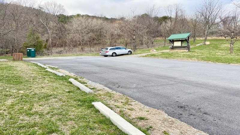
There are two ways to access the hiking trails at Read Mountain Preserve. For this hike, plan to enter by way of Crumpacker Drive.
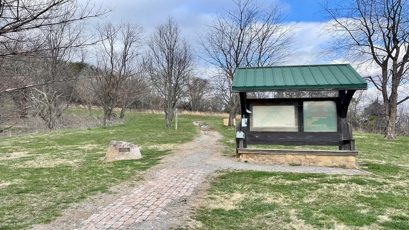
You’ll see a parking lot, as well as picnic tables and a porta-potty. You will also see a trail kiosk with paper trail maps courtesy of the Read Mountain Alliance.
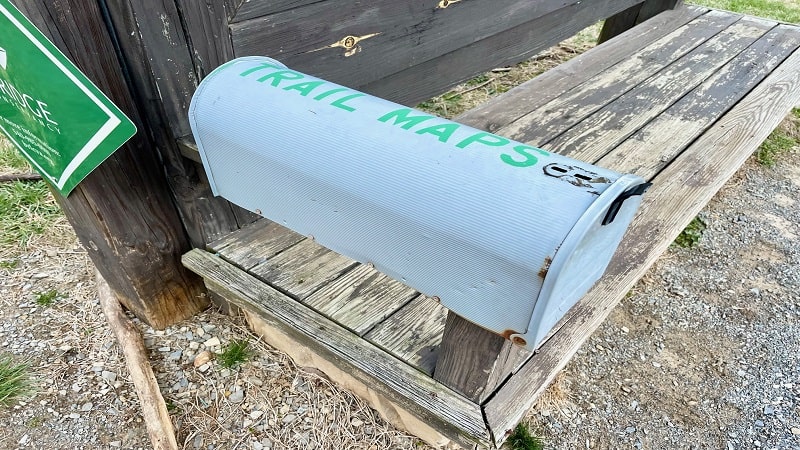
If you like, you can also print out a trail map before you go. However, this trail map may be slightly dated since it does not list one of the hiking trails.
The trail kiosk marks the start of the Buzzards Rock Trail. You can also access Read Mountain Preserve by way of Summit Ridge Road.
At this alternative entrance, you can pick up the yellow-blazed Rocky Way Trail and the orange-blazed CCC Trail. An undeveloped trail leads to the trailheads.
Buzzards Rock Trail
From the trail kiosk, begin walking along the Buzzards Rock Trail into the forest. You will feel a million miles away from the residential subdivision.
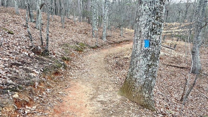
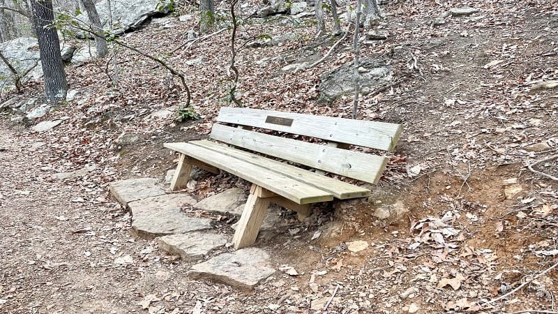
It’s a slow but gradual ascent on the way up to Buzzards Rock at the top of Read Mountain. At the .4-mile mark, a wooden bench welcomes visitors.
Take a break or continue on. You’ll reach a fork in the trail at the .6-mile mark. Stay right for the Buzzards Rock Trail or bear left for the Rocky Way Trail.
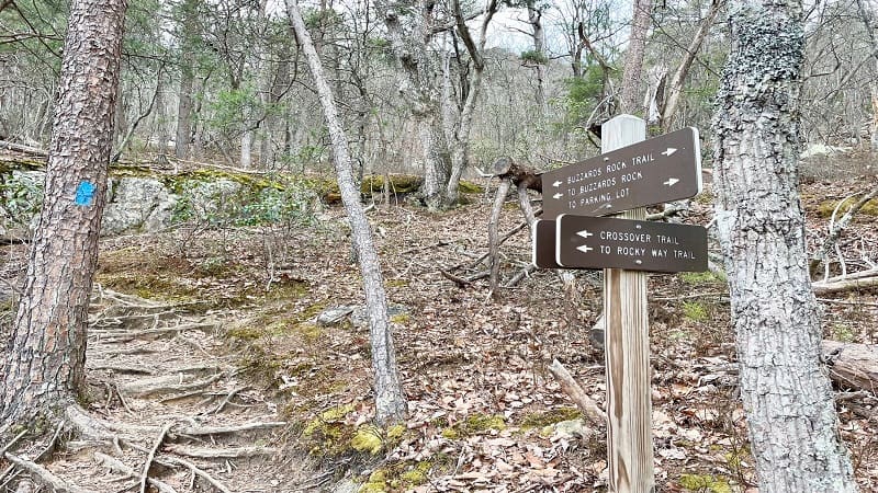
I was a bit confused at this point, thought I could tell from my AllTrails map that the Rocky Way Trail would re-connect with the Buzzards Rock Trail.
It’s a bit shorter and no more challenging to turn left here for the Rocky Way Trail. I went up the Buzzards Rock Trail and came back on the Rocky Way Trail.
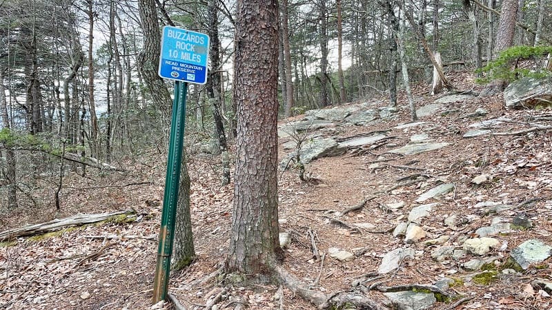
To keep you upbeat as you climb the trail to Buzzards Rock, you’ll see a blue sign to mark each half-mile, so you know how close you are to the reward.
At the 1.3-mile mark, you’ll see a sign to mark your first “View” across the Roanoke Valley. There was a partial view through leafless trees.
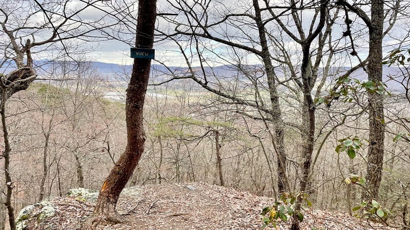
You’ll reach another “View” sign tacked to a tree at the 1.4-mile mark, but it’s the same deal. It’s a partial view, and there will be no view with full foliage.
At this point, you’ll also reach the spot where the Rocky Way Trail re-connects with the Buzzards Rock Trail (by way of the red-blazed Crossover Trail).
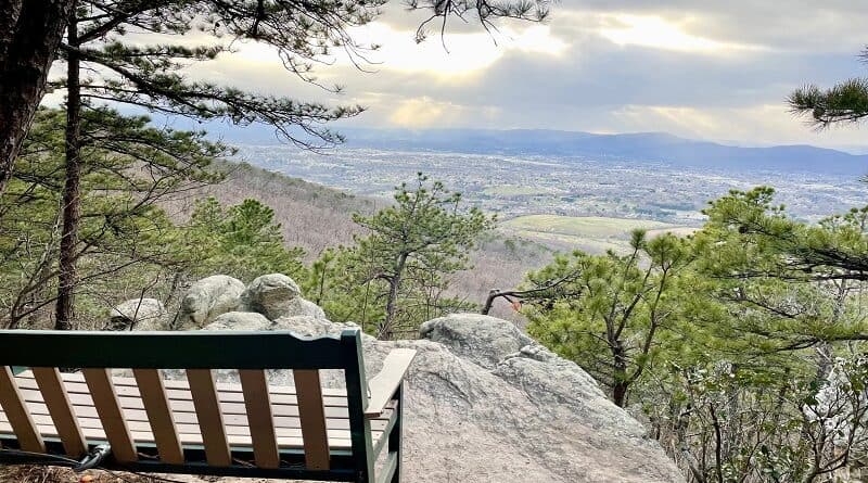
From here, the rocky overlook is close at hand. You will arrive at the overlook with big views across the Roanoke Valley at the 1.9-mile mark.
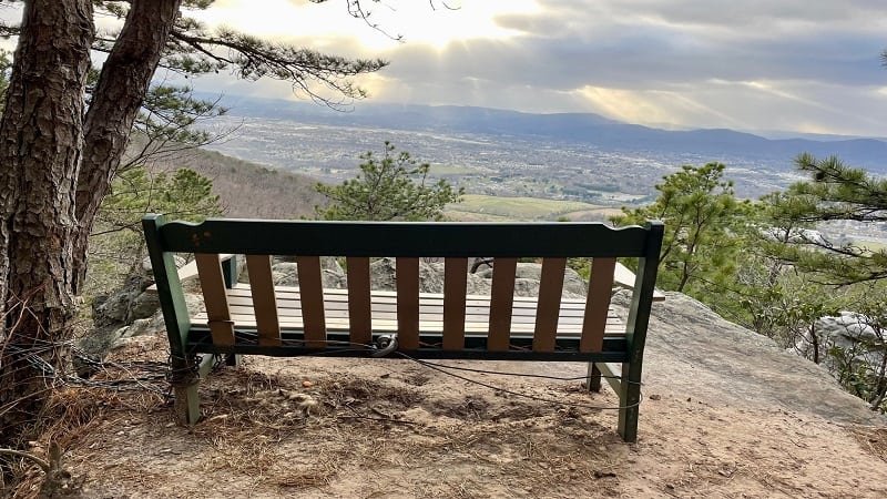
Take a seat on a rock or on the wooden bench. It is gorgeous. Take in all the views. When you are ready , re-trace your steps to the parking area.
Rocky Way Trail
As an option, you can return to your car by way of the yellow-blazed Rocky Way Trail. Turn right at the 2.4-mile mark to continue down the mountain.
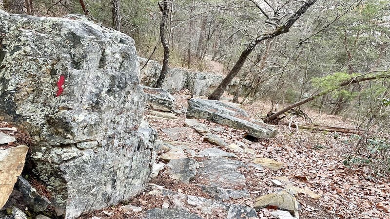
This is what I did. It’s rocky, but it’s not unusually or exceptionally rocky. Do note, however, that your descent begins on the red-blazed Crossover Trail.
At the 2.6-mile mark, you will dead-end into the yellow-blazed Rocky Way Trail. There is a directional trail sign at this junction.
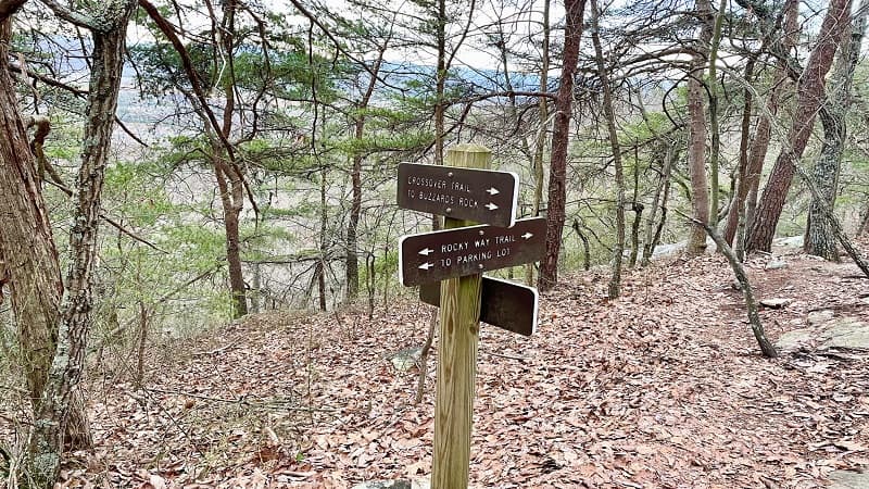
To return to the parking lot, turn left at the sign. You’ll reach the Buzzards Rock Trail at the 2.9-mile mark. Turn right to continue your descent.
Now you’re in the home stretch. At the 3.5-mile mark, you will reach the parking area for Read Mountain Preserve.
Wrap-Up Notes
From the parking area, this hike took me 90 minutes, including time spent enjoying the views across the Roanoke Valley from Buzzards Rock.
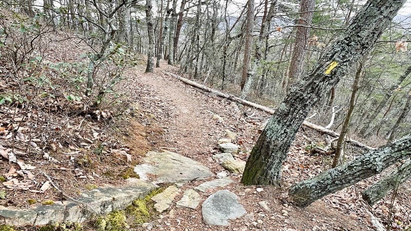
If you want to shorten this hike, simply take the detour for the Rocky Way Trail on the way up and down for a 3.2-mile out-and-back hike.
The trails at Read Mountain are open to hikers and mountain bikers. I didn’t see any mountain bikers on my hike, but it’s something to keep in mind.
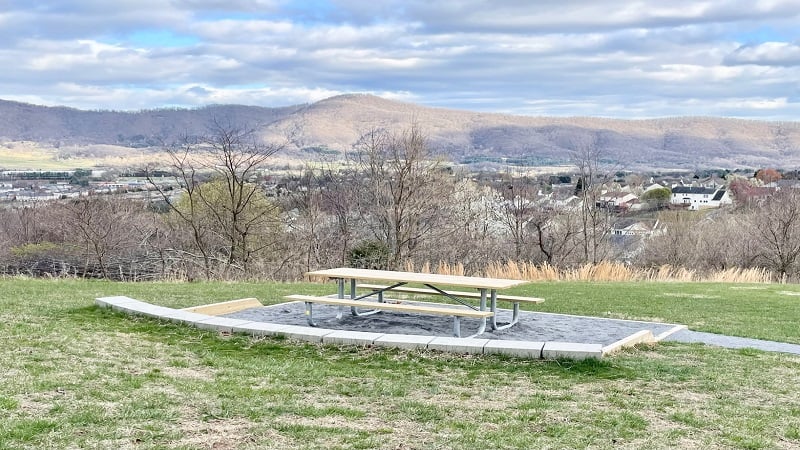
If you can, I recommend bringing lunch or a snack to enjoy at the picnic tables at the parking area. The views are especially nice.
Eager to get in another area hike? Check out my post on the top hikes in and near Roanoke, Virginia.

Erin Gifford has completed more than 300 hikes in Virginia. She is also the author of three hiking guidebooks from Falcon Guides. Need help finding a hike? Check out the Trail Finder feature or send Erin an email at [email protected].

