Dickey Knob Trail: A Summit Hike in the Raccoon Branch Wilderness Near Sugar Grove, Virginia
A stop at the Raccoon Branch Campground near Sugar Grove, Virginia allows for a 4.8-mile out-and-back hike that includes the top of Dickey Knob.
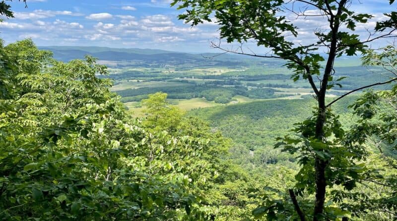
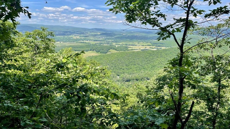
The Dickey Knob Trail leads to the remains of a one-time fire tower, as well as northeast-facing vistas across the Rye Valley and Sugar Grove.
This forested hiking trail within the Raccoon Branch Wilderness in Smyth County is unmarked, but it’s also generally easy to follow up to the high point.
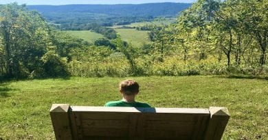
Along the way, cross over three bridges, maybe take a break to rest on two benches on the trail. As a bonus, there are flush toilets at the campground.
| Trail Stats | |
|---|---|
| Length | 4.8 miles |
| Difficulty | Moderate |
| Trail Type | Out-and-Back |
| Elevation Gain | 932 feet |
| Duration | 2-3 hours |
| Terrain | Mostly dirt trails |
| Dog-Friendly | Yes |
| Fee | $3/vehicle |
| Driving Directions | Click Here |
Raccoon Branch Campground
The Raccoon Branch Campground is under the jurisdiction of the U.S. Forest Service. There are 20 camp sites with picnic tables.
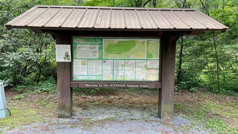
The campground is tucked away at the base of Dickey Knob in the Jefferson National Forest. As you drive in, you will see a large kiosk with a trail map.
There is also a self-service fee station. It’s essentially an honor system with envelopes and a repository. The day-use fee is $3 per vehicle.
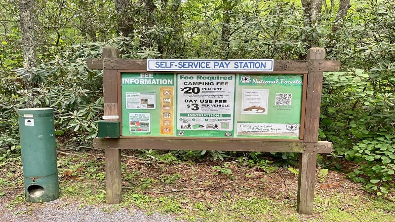
Note that the America the Beautiful Pass is accepted here. Simply scribble your pass number on the outside of the envelope and drop it in.
Tear off the top portion of the envelope. This serves as your receipt. Place it on your dashboard when you park. Speaking of parking, there is no parking.
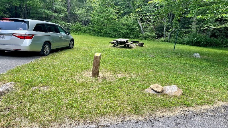
Well, there is no parking lot. On my visit, I spoke with the campground host who told me it’s okay to park at any camp site that is not marked as reserved.
Dickey Knob Trail
The trailhead for the Dickey Knob Trail is located on the west side of the campground, so the first sites you see as you drive in are best for parking.
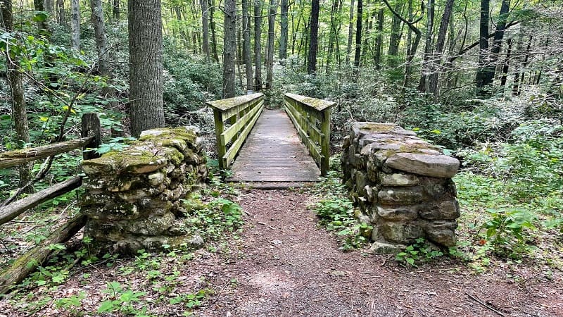
Look for the wooden footbridge that crosses over a cold water stream, which is popular for trout fishing. Cross over the bridge, then reach a T-junction.
You’ll see a broken sign for Raccoon Branch Wilderness, but it’s not at all clear which way to go. Turn right (I got the vibe that left was not actually a trail).
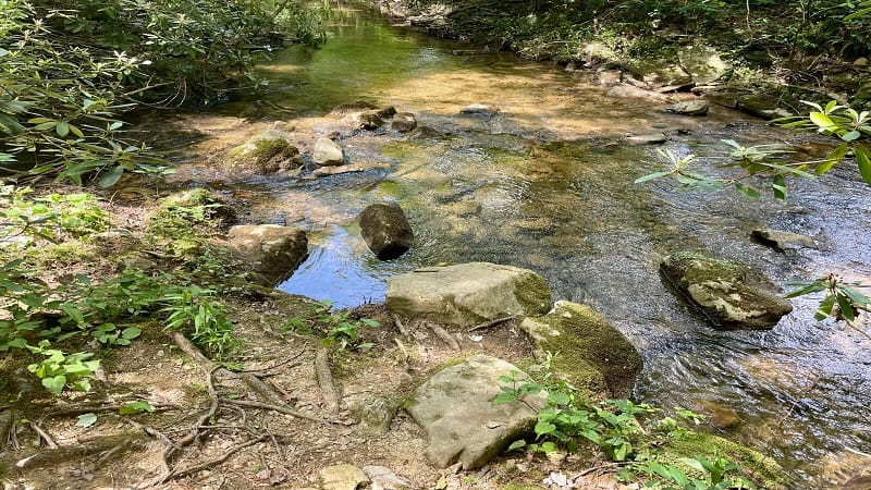
In a few more steps, you can veer right to step out to the stream for a refreshing splash either before or after your hike.
At the 0.1-mile mark, you’ll reach a bench, then a wooden footbridge, then another bench. The trail forks at the 0.2-mile mark.

Stay to the right for the ascent to Dickey Knob. To the left is a flat path that runs alongside Raccoon Branch.
Dickey Knob
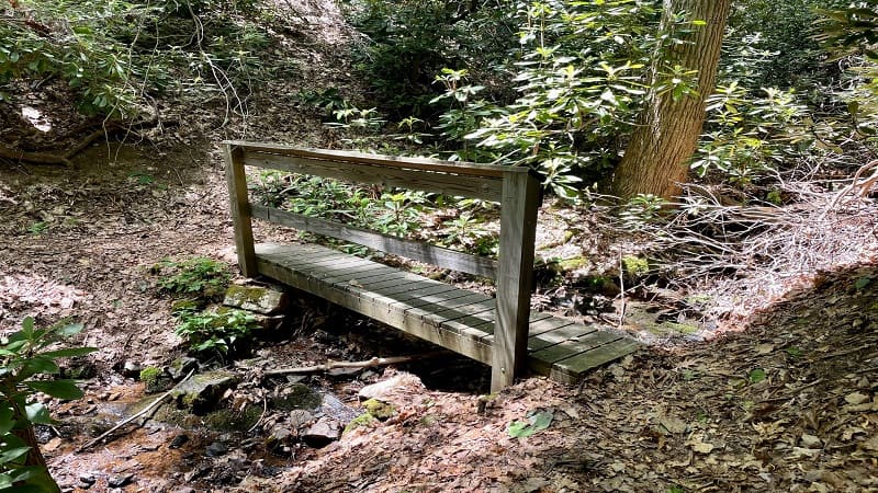
From here, it’s a fairly straightforward ascent to Dickey Knob. At the 0.5-mile mark, you’ll cross one more bridge, then zigzag on a few switchbacks.
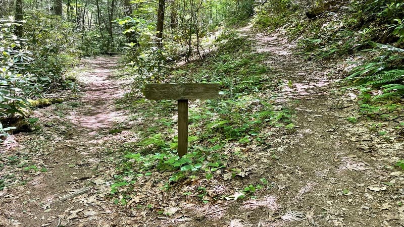
The hike gets mildly confusing at the 2.0-mile mark. It’s probably obvious, but I was confused and went the wrong way the first time.
You’ll see two hiking trails. The correct trail is the one on the left with the sign featuring a hiker icon. I know, it should be obvious. I still went the wrong way.
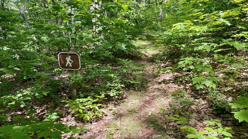
Too be honest, I’m 99% sure that both hiking trails lead to Dickey Knob (elevation 3,649 feet), but I’ll elaborate on that at the end of this post.
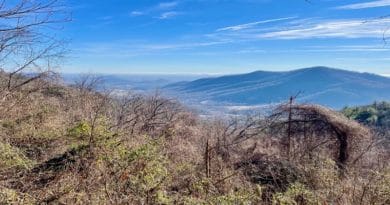
Continue on and you’ll reach an overlook with scenic vistas across the Rye Valley and Sugar Grove at the 2.4-mile mark. This view is so gram-worthy.
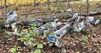
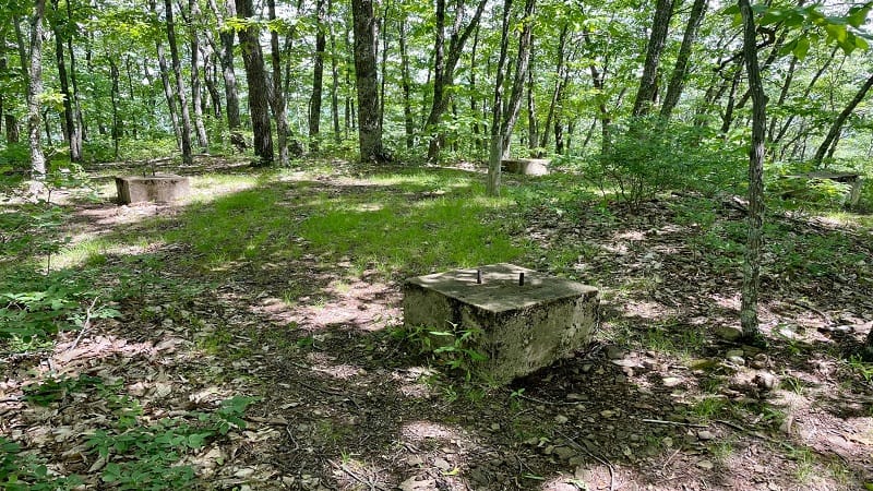
Make a right turn at the 2.5-mile mark and you’re steps from Dickey Knob. There are no views here and all that remains is the fire tower’s foundation.
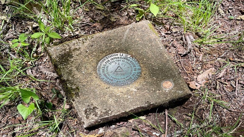
You are now at the summit of Dickey Knob. The survey marker is easy to find, but this high point is completely enclosed in dense woods.
Re-trace your steps to the trailhead in this wilderness area that’s part of the Mount Rogers National Recreation Area, which is more than 200,000 acres.
Wrap-Up Notes
From my vehicle, this Southwest Virginia hike took me nearly two hours, including time spent taking photos and smelling mountain laurel here and there.
As I was re-tracing my steps, I missed the first left turn after leaving the fire tower remains. I proceeded on a path that was not the trail.
I realized my error before too long and got back on the trail, but when I looked at my AllTrails map, it looks as though my first and second errors would connect.
Honestly, my guess is that the trail was re-routed at some point to include the gram-worthy overlook. Otherwise, there would be no scenic views.

Erin Gifford has completed more than 300 hikes in Virginia. She is also the author of three hiking guidebooks from Falcon Guides. Need help finding a hike? Check out the Trail Finder feature or send Erin an email at [email protected].

