Lake Shenandoah: A Refreshing Lake Hike Near Harrisonburg, Virginia
A couple of weeks ago, I was on my way home from Massanutten Resort and decided to stop for a short trail hike at Lake Shenandoah near Harrisonburg.
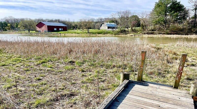
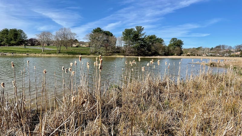
Lake Shenandoah is a 36-acre public fishing lake that is owned and managed by the Virginia Department of Wildlife Resources.
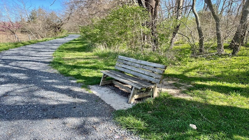
Around the lake is a 1.6-mile walking trail. Much of the trail is crushed gravel, but there is a short section that is rugged and not stroller-friendly.
Honestly, it’s a very nice hike when you just want to get into nature and breathe in the fresh air. It was just right on a recent weekday morning.
| Trail Stats | |
|---|---|
| Length | 1.6 miles |
| Difficulty | Easy |
| Trail Type | Loop |
| Elevation Gain | 23 feet |
| Duration | 45-60 minutes |
| Terrain | Mostly crushed gravel, some dirt and rocks |
| Dog-Friendly | Yes |
| Fee | Free* |
| Driving Directions | Click Here |
Arriving at Lake Shenandoah
When you first arrive at Lake Shenandoah, you will see a good size gravel parking lot within a neighborhood of single-family homes.
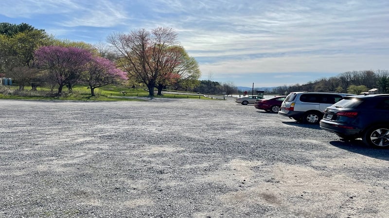
The lot is on the northwest side of the lake (technically, an impoundment). You can access the hiking trail from the east and west sides of the parking area.
There is a trail kiosk on both sides. I began on the west side, which is also the start of the Lake Shenandoah Pollinator Trail.
Lake Shenandoah Pollinator Trail
On the west side of the parking lot, you’ll see a sign for the Lake Shenandoah Pollinator Trail, as well as a related kid-friendly scavenger hunt.
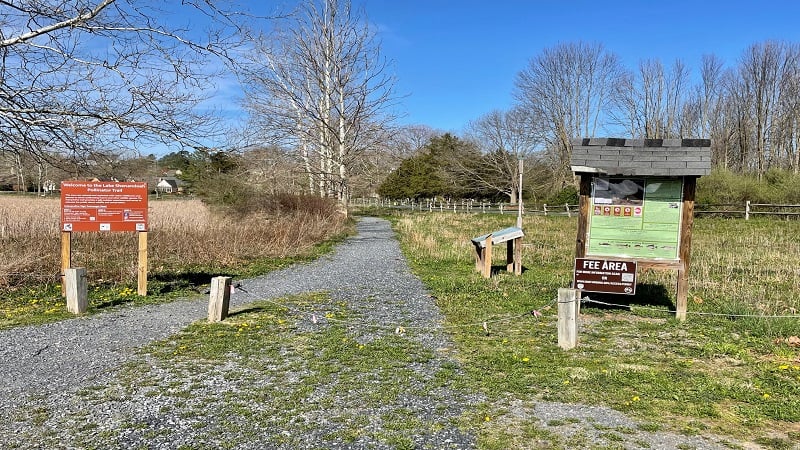
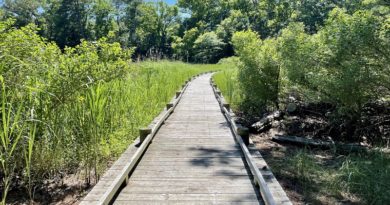
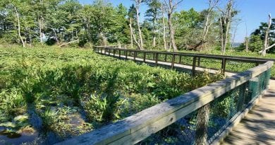
The trail meanders through an area that was restored and replanted with native grasses and wildflowers to attract pollinating insects and wildlife.
Along the trail, you’ll see eight interpretive signs educating visitors about wildlife and conservation, including pollinator-friendly practices and honey bees.
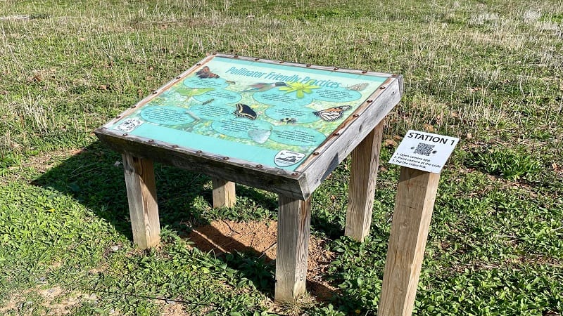
Next to each sign is a QR code that links to a video. Watch the video, read the sign, then take a quiz at each station to test your ecological knowledge.
The trail is only about .2 miles and ends at the Shoreline Access Trail, which runs along the lake and in front of private property. This is the rugged section.
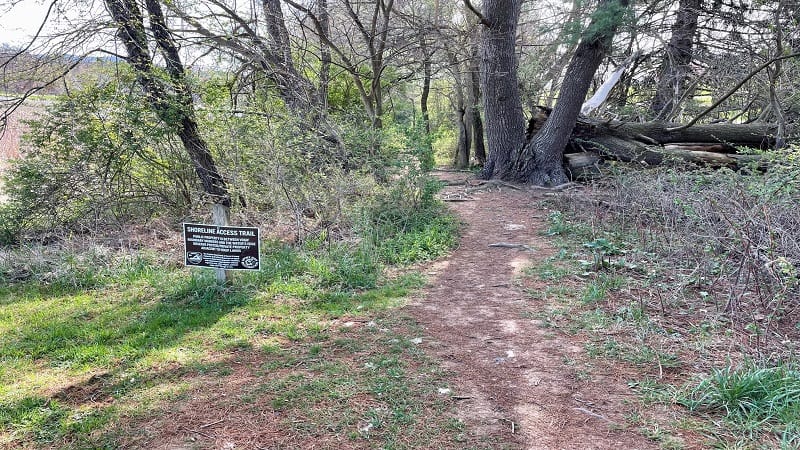
Shoreline Access Trail
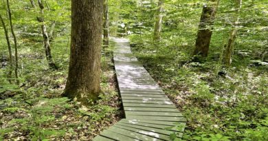
Continue on and you’ll duck into the forest and walk alongside Lake Shenandoah. You’ll also walk in front of a private home. There’s a bench, too.
By the .7-mile mark, the trail exits the woods and approaches the grassy east end of Lake Shenandoah. You can see peeks of Shenandoah National Park.
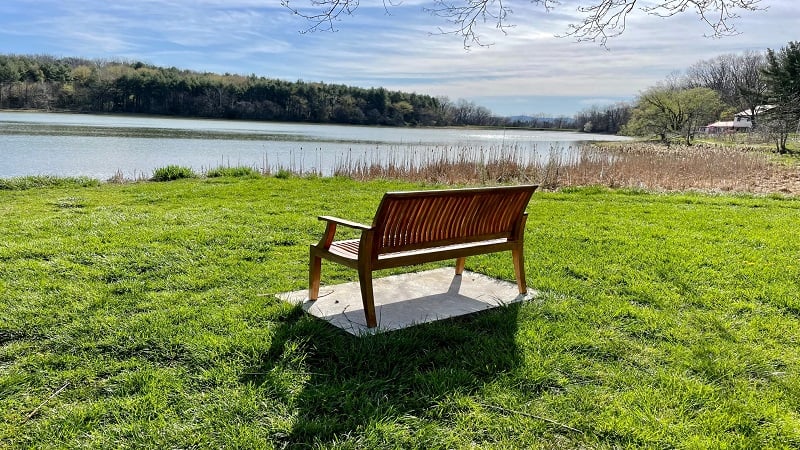
As you continue on, the trail terrain turns to crushed gravel. You’ll also reach another bench or two for west-facing views across the lake.
The shoreline opens up at the 1.3-mile mark. This is great spot to stop for views of wildlife and water birds, as well as the mountains off in the distance.
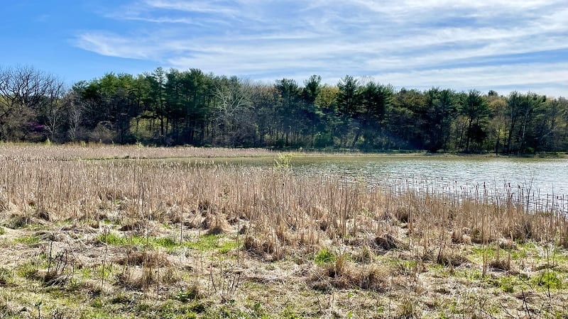
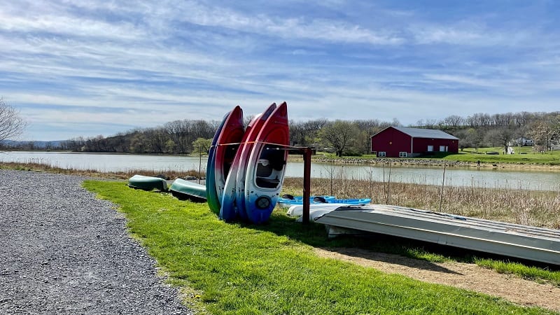
You’ll reach a kayak launch area at the 1.5-mile mark. You may even see a few colorful kayaks parked there by their owners for a fair weather day.
In a few more steps, you’ll reach a second trail kiosk, as well as the parking area. Your hike is complete at the 1.6-mile mark.
Public Fishing Lakes in Virginia*
Lake Shenandoah is one of more than 100 public fishing lakes in Virginia, which are managed by the Virginia Department of Wildlife Resources.
For this reason, you will see a “Fee Area” sign at the trail kiosk. A $4 daily access permit is required of all visitors aged 17 and older.
However, this fee is waived if a visitor is in possession of a valid hunting, fishing or trapping state license. Or, a state boat registration.
You can buy a daily access permit online. Daily permits are also sold at select DMVs, grocery stores, sporting goods stores and gas stations.
You cannot buy a permit on-site. Honestly, I think permits are intended for hunters, boaters and anglers. For this reason, I list this hike as free.
Wrap-Up Notes
From the parking area, this hike took me 35 minutes, including time spent taking photos and enjoying the warm, sunny day.
If you’re looking for a second area hike, check out the Kaylor’s Knob hike at Massanutten Resort. It’s less than a 30-minute drive from the lake.
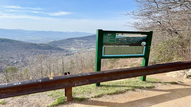
The 3.7-mile out-and-back Kaylor’s Knob hike is one of two Massanutten hikes. The second hike is along the more challenging Massanutten Ridge Trail.
There is a central parking area for both hikes at Massanutten Resort. This is also where you’ll find scenic mountain views from the Massanutten Overlook.
Hungry for more? Take a look at 15 of the best hikes near Staunton, Virginia to find a few more hikes to add to your must-do hiking list.

Erin Gifford has completed more than 300 hikes in Virginia. She is also the author of three hiking guidebooks from Falcon Guides. Need help finding a hike? Check out the Trail Finder feature or send Erin an email at [email protected].

