Lewis Falls Trail: Hike to an 81-Foot-Tall Waterfall at Shenandoah National Park
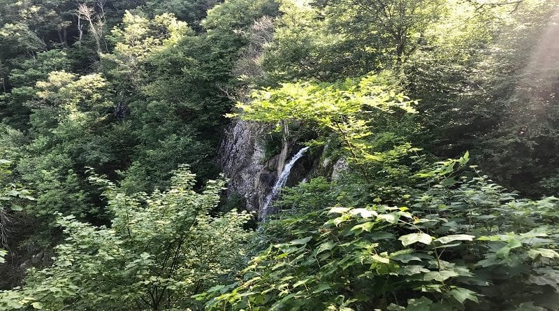
A moderate 3.2-mile loop hike allows Shenandoah National Park visitors to revel in 81-foot-tall Lewis Falls, which is the park’s fourth tallest waterfall.
This hike begins near Big Meadows, at milepost 51. Hikers follow the blue-blazed Lewis Falls Trail and white-blazed Appalachian Trail.
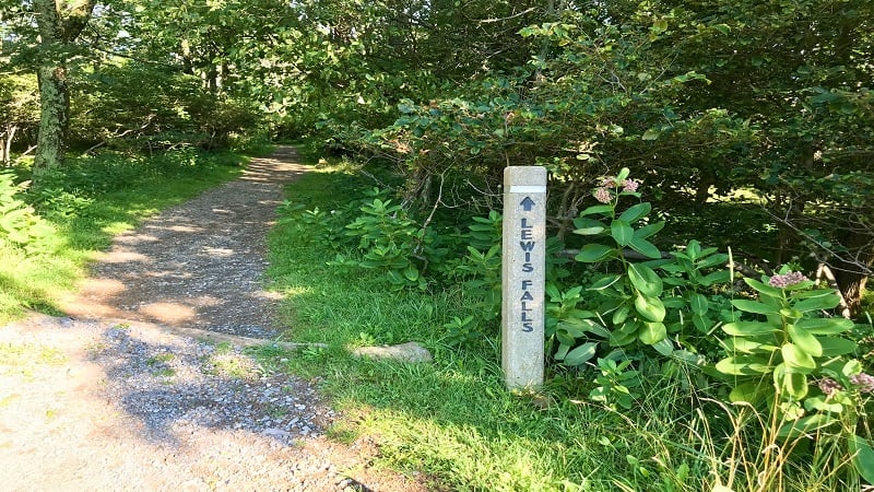
A viewing platform allows hikers to look out over Lewis Falls. However, you cannot hike down to the base of this tumbling waterfall.
The trailhead is very close to the Harry F. Byrd Sr. Visitor Center, a restaurant, a convenience store, a lodge, a campground and a gas station.
| Trail Stats | |
|---|---|
| Length | 3.2 miles |
| Difficulty | Moderate |
| Trail Type | Loop |
| Elevation Gain | 896 feet |
| Duration | 2-2.5 hours |
| Terrain | Mostly dirt & gravel trails |
| Dog-Friendly | Yes |
| Fee | $30 per vehicle (good for seven days) |
| Driving Directions | Click Here |
Big Meadows
From Skyline Drive, turn west onto the paved road at the large Big Meadows sign on the east side of the park thruway at milepost 51.
Follow this road to the amphitheater where you’ll find a parking lot that can accommodate at least two dozen vehicles.
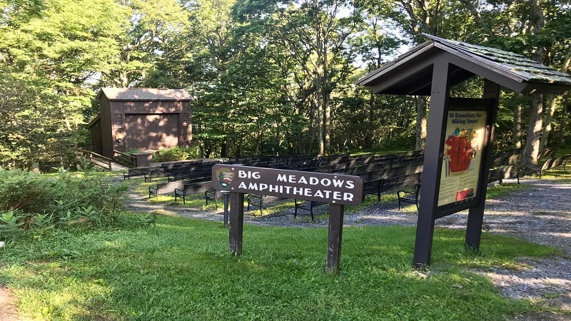
Here you’re steps from shaded picnic grounds, a water fountain and restrooms. It’s a nice spot to relax before or after this waterfall hike.
Lewis Falls Trail
The trailhead is located near the center of the parking lot. The trail immediately descends to an intersection with the white-blazed Appalachian Trail.
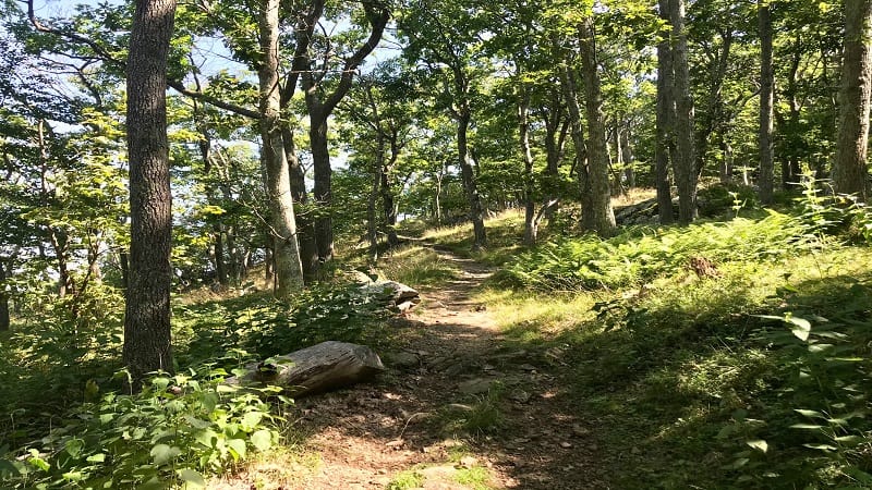
Turn left at the trail marker, then turn right at the blue-blazed trail. Fern fronds dominate both sides of the trail, emanating a fragrant scent as you hike the trail.
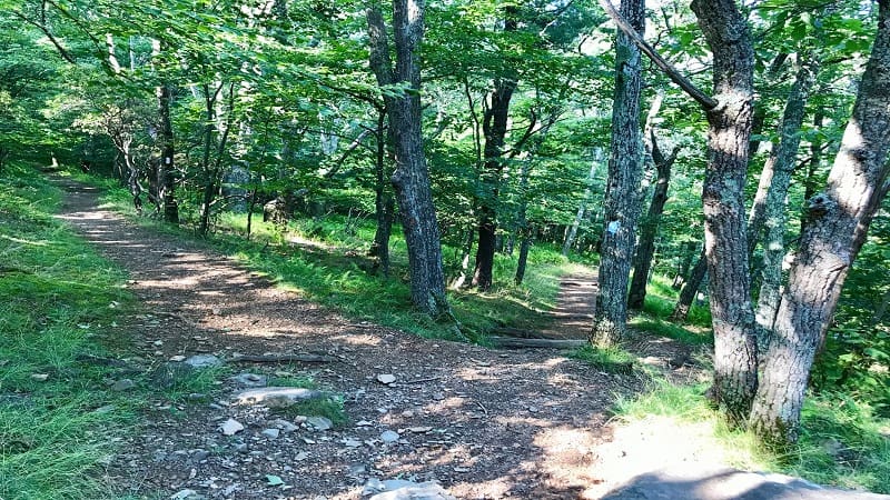
Continue on, deeper into the dense forest, and you’ll see massive downed trees with exposed roots.
Under the shade of tall trees, you’ll see mossy rocks and lichen-covered tree bark. At the 0.65-mile mark, a large rock outcropping appears on the left of the trail.
A lush ravine soon materializes on the right-hand side of the trail. Thankfully, the trail is still wide enough to comfortably push forward to the falls.
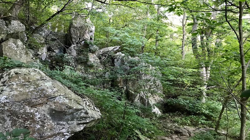
Near the 1.1-mile mark, you will hear cascading water from Hawksbill Creek making its way to the falls. A small rock scramble soon adds to the fun of this hike.
As you come into the daylight (much of the hike is shaded), a west-facing view of tree-covered mountains is visible on the right side.
Lewis Falls
From here the dense forest regains control until a split. A trail sign notes Lewis Falls is a mere 250 feet away.
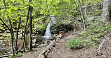
At the 1.3-mile mark, you have reached the first viewpoint for the falls, which is one of the most popular Skyline Drive waterfalls.
Gushing waters flow downstream. Here there are several large rocks, many in the shade, to take a break to re-fuel and re-hydrate.
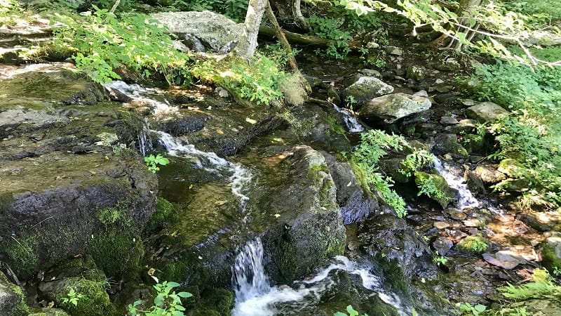
But wait, there’s more. Continue past the viewpoint to an observation deck for a more profound view of the tumbling falls. This is the money shot.
To get here, you’ll need to carefully maneuver a stone-filled water crossing to a steep dirt incline with a handrail.
While this trail is a loop, it does not continue past the observation deck. Instead, backtrack 250 feet to the trail sign, then turn right for the Appalachian Trail.
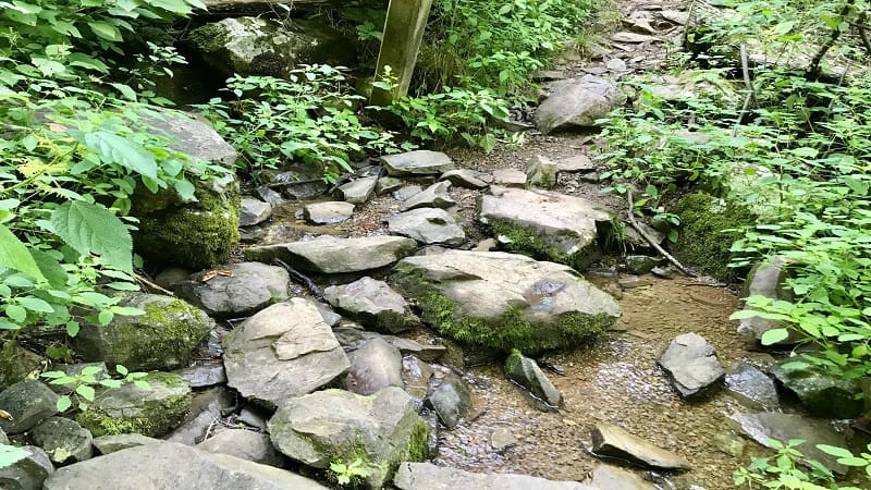
Appalachian Trail
It can be easy (as I can attest) to forget that while this hike is a loop, you must first return to the trail sign to re-enter the loop.
As the loop continues, the dense forest views are much the same as on the descent to the falls. Only now, you’re ascending on the trail.
Just past the 2.0-mile mark, the trail ends at the Rapidan Fire Road. Continue uphill for less than 0.1-mile, then turn left for the Appalachian Trail.
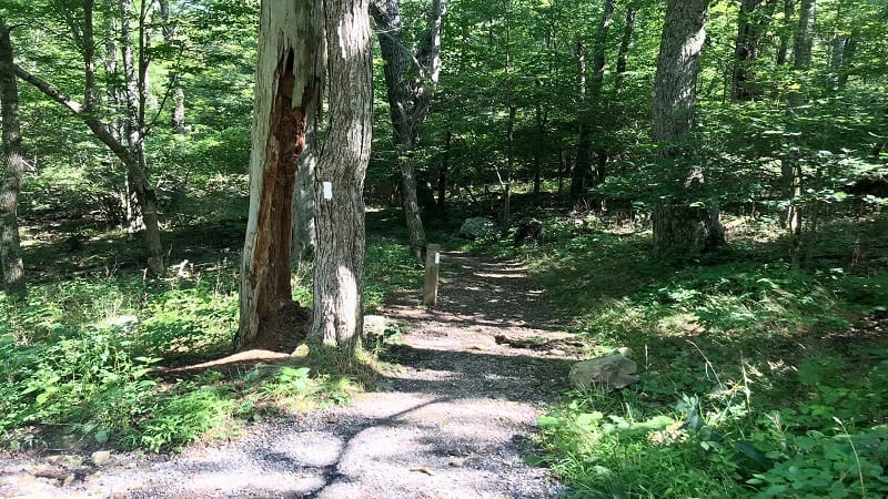
Keep your eyes open for wildlife in this section. On my hike, I spied both a white-tailed deer and a mama bear with two cubs just off the trail.
I coughed to alert the black bear to my presence. She was not aggressive and moved along with her baby bears after a few coughs.
Just past the 2.6-mile mark you’ll see a trail marker and blue-blazed trail to the Blackrock Summit on the right side of the trail.
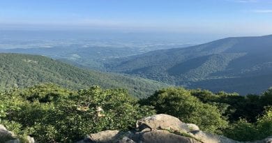
It’s a short 0.2-mile spur hike to the wide-open northwest-facing views of green space and farms down below. It’s a nice place to stop for a snack.
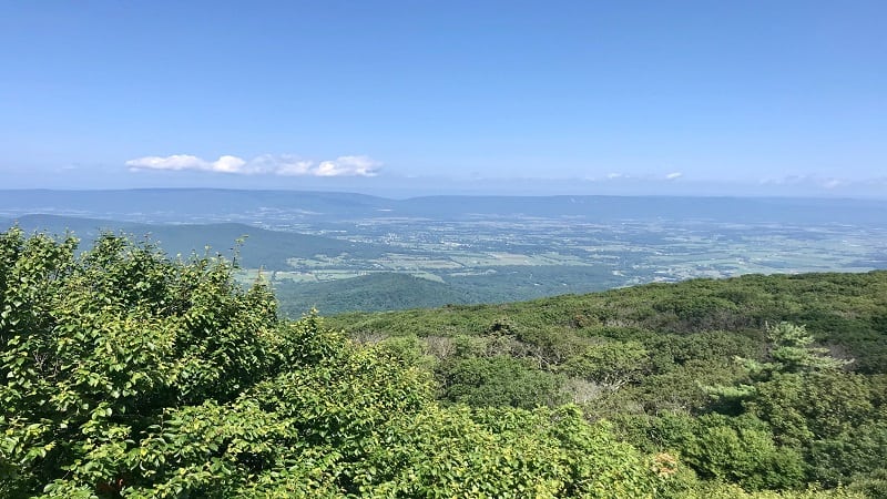
Once you’ve savored the views, re-trace your steps to the white-blazed Appalachian Trail and turn right to continue uphill to the parking lot.
In a few more steps, you will reach the trail marker from the start of the trail. Turn right to return to your car in the parking lot.
Hike Options
For a longer hike, add on more steps along the 1.8-mile out-and-back Story of the Forest Trail, which departs from the adjacent campground at Big Meadows.
This easy hike at Shenandoah National Park is mostly flat with plenty of forest and wildflower views.
For a shorter hike to Lewis Falls, begin at the parking lot on Skyline Drive just south of the Big Meadows Wayside convenience store.
Take the Rapidan Fire Road north to connect with the Lewis Spring Falls Trail. Once you reach the falls, re-trace your steps for a 1.8-mile out-and-back hike.
Wrap-Up Notes
From the parking area, this hike took me just over 90 minutes. After the hike, I made the short drive to Big Meadows Wayside.
This convenience store has plenty of snacks, camping supplies, cold drinks and grab-and-go sandwiches. There’s also a restroom on the right side of the building.
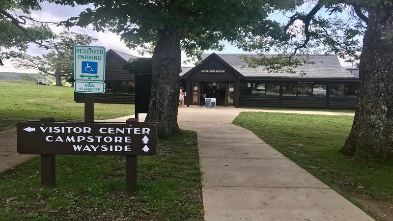
Adjacent to Big Meadows Wayside is a two-pump gas station if you need to fuel up. It costs more per gallon to fuel up, but when you need gas, you need gas.
The Harry F. Byrd Sr. Visitor Center is to the left of the convenience store. Pick up a Junior Ranger Activity Book for children to complete and earn a badge or patch.

For a sit-down meal, Big Meadows Lodge is up a side road with meal options at the Spottswood Dining Room. Save room for a slice of Blackberry Ice Cream Pie.
Given Shenandoah National Park is well-known for thickets of blackberries along the roads and trails, it’s no surprise to see blackberries on menus across the park.

Erin Gifford has completed more than 300 hikes in Virginia. She is also the author of three hiking guidebooks from Falcon Guides. Need help finding a hike? Check out the Trail Finder feature or send Erin an email at [email protected].

