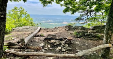
High Rocks: Two Scenic Trails to the Top in Wytheville
Earlier this month, I motored along I-81 all the way to Wytheville for a few days of exploring hiking trails in Southwest Virginia. I was especially eager to hike the High Rocks Trail.
This 2.9-mile out-and-back hike had been on my list for some time. The far-reaching views of downtown Wytheville from High Rocks looked fantastic (at least on AllTrails).

Of note, there is a second trail to High Rocks called the High Rocks Spur Trail. This trail approaches the summit from the south. High Rocks Trail approaches from the east.
Do NOT hike the High Rocks Spur Trail as AllTrails suggests. The driving directions take you to a narrow gravel road near a fire road with no safe areas to park. None. Zero.
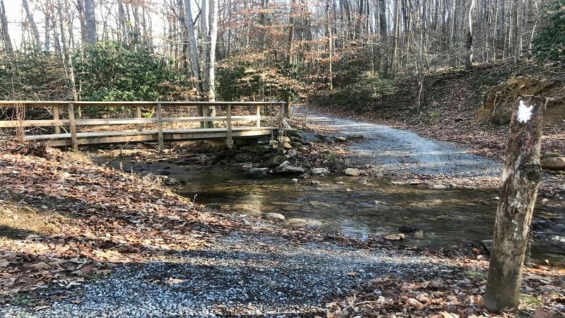
The only safe way to complete this hike is by way of the Crystal Springs Recreation Area. You need to take the Boundary Trail to the High Rocks Spur Trail.
There is no way to reach the trailhead for the High Rocks Spur Trail by car. Starting from the Crystal Springs Recreation Area, this is a 9.2-mile out-and-back hike.
Whether you want to go short and sweet on the High Rocks Trail (though rocky and steep) or want more steps on the High Rocks Spur Trail, I’ve got you covered. Read on.
#1: High Rocks Trail
The High Rocks Trail begins at the Big Survey Wildlife Management Area, which sits atop four mountain ridges in Wythe County.

Be prepared. The last two miles to the parking area are gravelly and bumpy. There are two adjacent parking lots, which can accommodate a couple dozen vehicles.
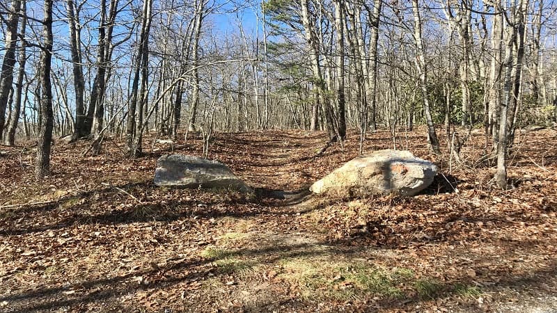
The trailhead is located at the back of the first parking area. Large rocks with orange spray paint mark the trailhead, but there are no (or very few) blazes on the hiking trail.
The High Rocks Trail parallels a gravel service road for .25-mile before the trail veers right into the woods. From here, the trail narrows and becomes more rocky.
Rhododendrons are on both sides of the trail. At times, the narrow trail feels more like a ravine than a hiking trail as you continue your ascent to High Rocks.
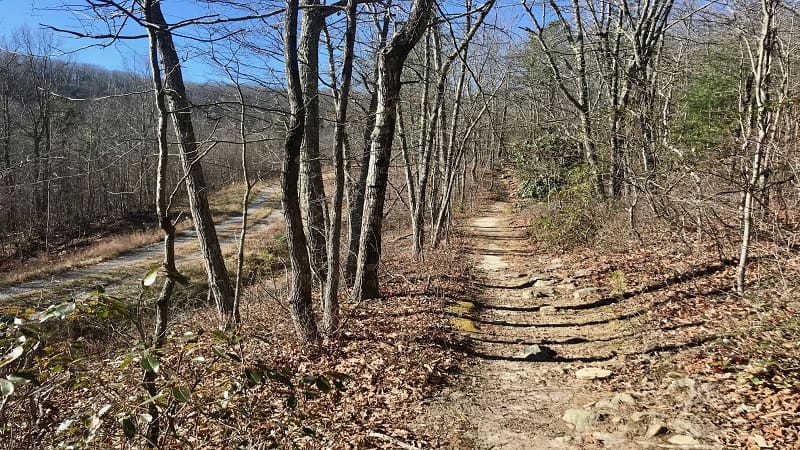
The trail thankfully flattens out a bit at the .9-mile mark. In a few more steps, you’ll begin to see the rocks on the left as the trail becomes more shaded.
At the 1.3-mile mark, you will begin your final ascent and reach the scenic overlook in another .1-mile. A bench at the top welcomes you, encouraging you to take a seat.
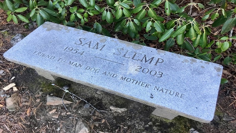
There’s not a lot of space at the overlook, so I would encourage you to hike at an off-peak time to have High Rocks all to yourself.
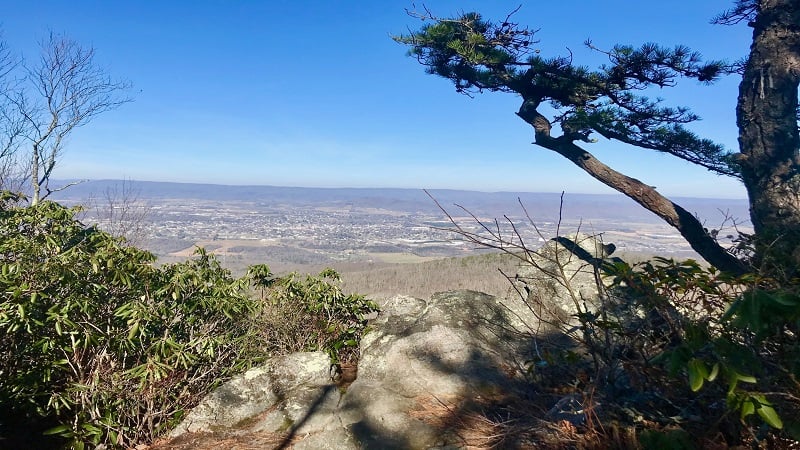
From the top, you can see all of downtown, including Wytheville’s rainbow-colored hot air balloon water tower. The views from High Rocks are north-facing.

From here, re-trace your steps. Look for the blue-blazed rock to ensure you are returning on the proper trail. The orange-blaze takes you along the High Rocks Spur Trail.
| Trail Stats | |
|---|---|
| Length | 2.9 miles |
| Difficulty | Moderate |
| Trail Type | Out-and-Back |
| Elevation Gain | 600 feet |
| Duration | 1.5-2 hours |
| Terrain | Mostly dirt and rocks, some gravel trails |
| Dog-Friendly | Yes |
| Fee | Free |
| Driving Directions | Click Here |
#2: High Rocks Spur Trail
Once I realized that parking near the High Rocks Spur Trail was not possible, I had all but called off this second hike.
I drove on to the Crystal Springs Recreation Area. Here you’ll find a good-size parking lot with a large trail kiosk just ahead of a large green space.
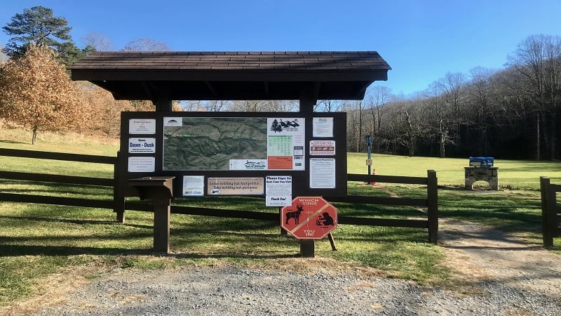
My original plan was to hike the easy Crystal Springs Loop. When this trail reached Boundary Trail, however, all bets were off. I was on my way to High Rocks Spur Trail.
I couldn’t stop myself. It was impossible to tell from the map how many miles this hike would be, but I needed to explore this alternate route to High Rocks.

There are two ways to reach Boundary Trail, a 7.0-mile loop around Crystal Springs Recreation Area. Both are by way of the 2.4-mile Crystal Springs Loop.
From the parking area, stay right to cross a small bridge for a counter-clockwise loop. Or, cross the green space to connect with the red-blazed trail for a clockwise loop.

I opted for the longer of the two, going counter-clockwise on the Crystal Springs Loop to Boundary Trail (the second turn-off) to High Rocks Spur Trail for a 9.9-mile hike.
Okay, back to the hike. Starting to the right, you’ll cross over two small creeks before you complete the first .1-mile of the hike on the Crystal Springs Loop.

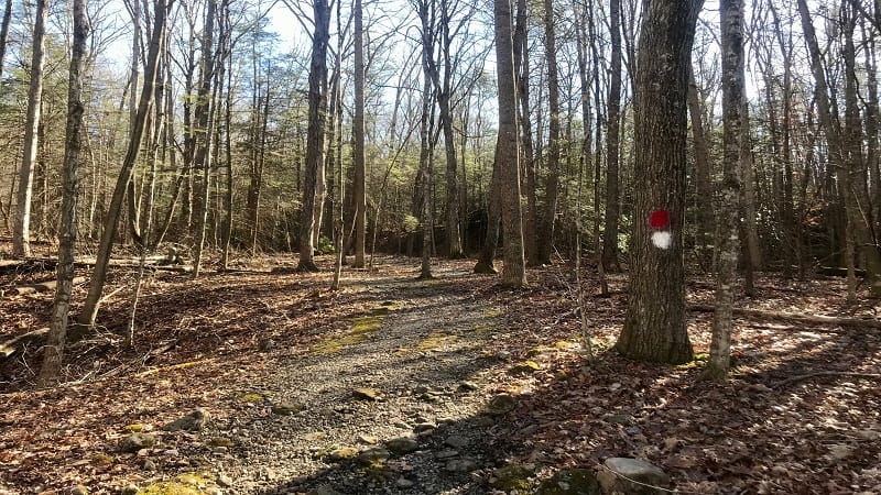
At the .2-mile mark, you’ll see a vault toilet, but continue following the red blazes through the peaceful, wooded forest setting.
You’ll reach a turn-off for the white-blazed Boundary Trail at the .5-mile mark, but do NOT turn here. Unless of course, you want a really, really long hike to High Rocks.
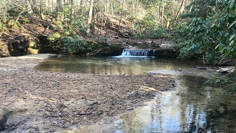
At the 1.4-mile mark, you’ll see loads of rhododendrons, then a small waterfall and a watering hole that’s a perfect spot for a splash and a snack.
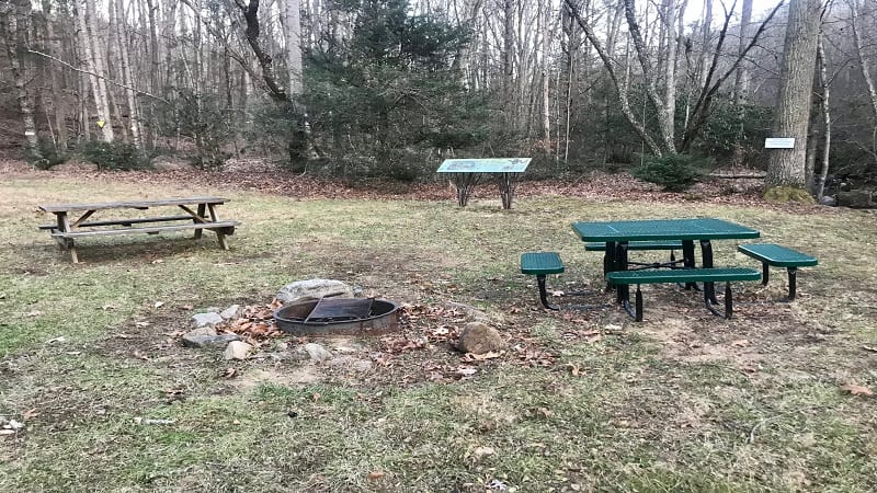
In a few more steps, you’ll cross over a wooden bridge. You’ll then see a second vault toilet on the right. There are a couple of picnic tables on the left along Venrick Run.
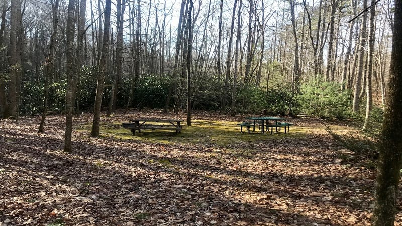
Just before the vault toilet, turn right onto the white-blazed Boundary Trail. This is the second entrance to the Boundary Trail (park loop). This is the one you want.
At the 1.75-mile mark, turn right into a rhododendron thicket, then continue on this delightful forested trail. You’ll cross over several streams, too.
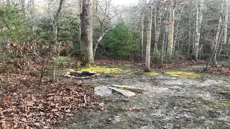
As you hike, you’ll pass five primitive campsites along the way. Even better, it’s free to camp. You just need to register with Wytheville’s Recreation Center (by phone).
At the 3.6-mile mark, you will reach a large trail kiosk and the trailhead for the High Rocks Spur Trail. Turn left here to take the orange-blazed trail to High Rocks.

The next 1.7 miles are more forested and more steep, but quite nice. You’ll reach High Rocks at the 5.4-mile mark. I actually preferred this hike to the High Rocks Trail.
Take in all the views from the High Rocks overlook, then re-trace your steps on the orange-blazed trail. Do not follow the blue blazes for the High Rocks Trail.
Continue re-tracing your steps to the vault toilet at the 9.2-mile mark. Turn left for the Waterline Trail, then right to jump back on the red-blazed Crystal Springs Loop.
Once you close in on the parking area, it starts to get confusing since there are several trails. Continue to follow the water westward and you will reach your vehicle.
In total, this is a 9.9-mile hike. However, if you start and return on the Crystal Springs Loop by way of the clockwise loop, it’s only a 9.2-mile hike.
| Trail Stats | |
|---|---|
| Length | 9.9 miles |
| Difficulty | Moderate |
| Trail Type | Out-and-Back |
| Elevation Gain | 1,532 feet |
| Duration | 4-5 hours |
| Terrain | Mostly dirt and rock, some gravel trails |
| Dog-Friendly | Yes |
| Fee | Free |
| Driving Directions | Click Here |
Wrap-Up Notes
The views from High Rocks are beautiful, so I would recommend ascending to the summit while in Wytheville, Virginia.
These are two very different hikes so it’s hard to choose one route to High Rocks over the other, especially since they are so divergent in terms of mileage.
It was nice to reach the summit more quickly on the High Rocks Trail, but I more fully enjoyed the peace and serenity of the Boundary and High Rocks Spur Trails.

Erin Gifford has completed more than 300 hikes in Virginia. She is also the author of three hiking guidebooks from Falcon Guides. Need help finding a hike? Check out the Trail Finder feature or send Erin an email at [email protected].


