Beaverdam Reservoir: Enjoy a Loop Hike Around a 350-Acre Man-Made Lake in Ashburn, Virginia
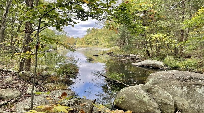
It’s a moderate 8.3-mile loop hike along the perimeter of 350-acre Beaverdam Reservoir in Ashburn, Virginia on the wooded Beaverdam Reservoir Trail.
A partnership between Loudoun Water and the Northern Virginia Regional Park Authority allow public access to the the land and reservoir for recreation.
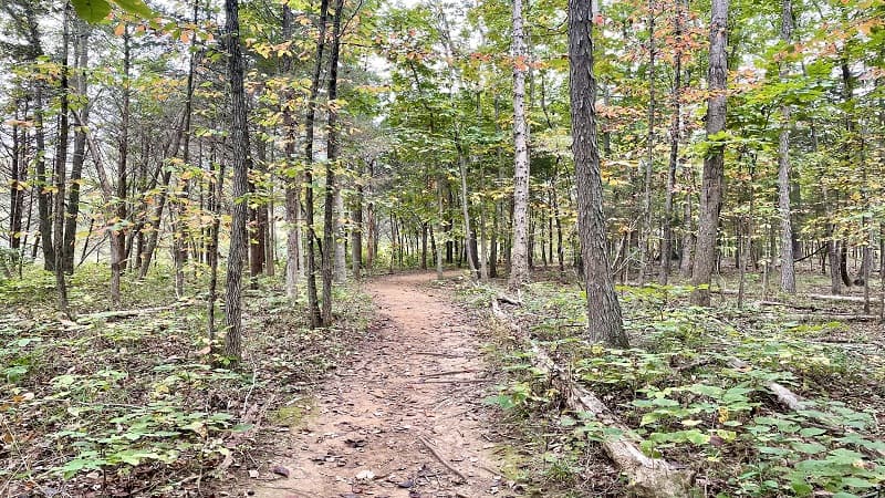
At this time, only the hiking trail is open for public use, though a 1.3-mile section is closed while the brand-new Reservoir Park is under construction.
This closure makes it impossible to complete a loop hike. Paddling and fishing are also not allowed until construction of pier structures is complete.
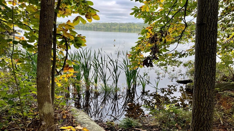
The reservoir was partially drained for pier construction. Water recreational activities may resume once water level are deemed safe.
Reservoir Park, which is slated to open in Spring or Summer 2024, is expected to have a welcome center, a fishing pier, a boat launch and boat rentals.
| Trail Stats | |
|---|---|
| Length | 8.3 miles |
| Difficulty | Moderate |
| Trail Type | Loop |
| Elevation Gain | 282 feet |
| Duration | 3-4 hours |
| Terrain | Mostly dirt & rock trails, some gravel roads |
| Dog-Friendly | Yes |
| Fee | Free |
| Driving Directions | Click Here |
Beaverdam Reservoir Trail
There are four trailheads for the Beaverdam Reservoir Trail, including Tillett Field, Reservoir Road, Mt. Hope and National Recreation and Park Association (NRPA).
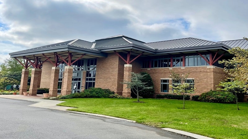
The NRPA trailhead is closed due to park construction. Unfortunately, this entry point, located at 22377 Belmont Ridge Road in Ashburn, is the most popular.
This trailhead also has the largest parking area of all the trailheads. It’s adjacent to Brambleton Park, which is home to several baseball fields.
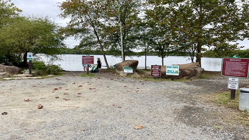
Another good bet is to navigate to Mt. Hope Church at 42507 Mt. Hope Road. Proceed past the church to a small lot for the reservoir at the end of the road.
From Mt. Hope, hike north (the path on the right when facing the reservoir). The 1.3-mile section between NRPA and Mt. Hope is closed at this time.
NOVA Parks also suggests using the Tillett Field trailhead at 21561 Belmont Ridge Road. I have not started from this trailhead, but there is much more parking.
NRPA Trailhead
When I first hiked the Beaverdam Reservoir Trail in October 2021, I started from the NRPA trailhead, which is to the right of the NRPA building.
A paved path leads past an apiary and a little free library to connect with the wooded hiking trail. From here, you hike north for a counter-clockwise hike.
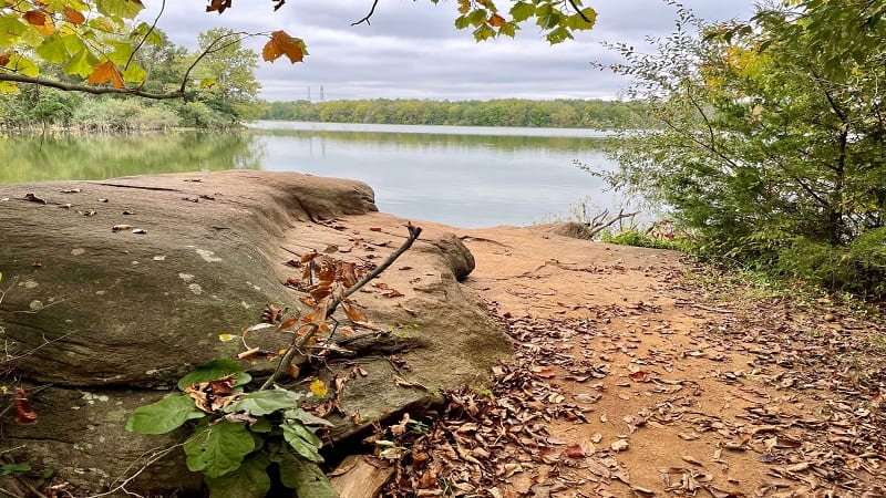
Of course, this section is closed at this time, but when it re-opens you will enjoy a forested hike with some of the best views across Beaverdam Reservoir.
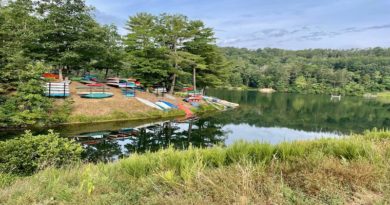
You will arrive at the lot on Mt. Hope Road at the 1.3-mile mark. This is where water enthusiasts would drop in kayaks and canoes.
Mount Hope Road
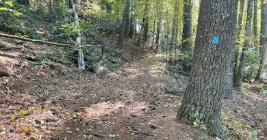
On fair-weather weekends, this small lot can quickly fill to capacity, even before 9 am. Follow the blue blazes as you continue on across the top of the reservoir.
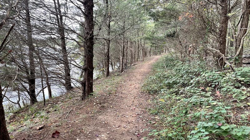
Using Mt. Hope Road as the new starting point, you’ll reach a gravel road that runs behind single-family homes in the Preserve at Goose Creek at the 1.9-mile mark.
Beaverdam Creek
You’ll be on a gravel road for some time as you’re led past the dam and over Beaverdam Creek. The gravel road ends at the 3.2-mile mark (Reservoir Road).
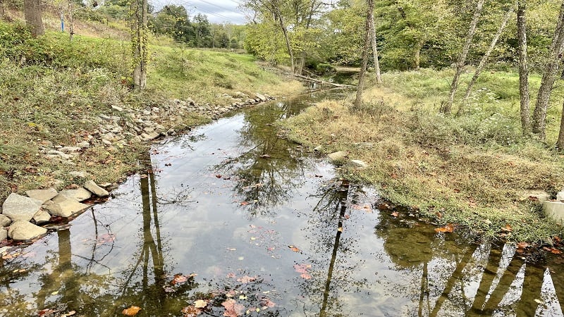
On the left is the Reservoir Road trailhead. It’s also where visitors could put in a kayak or canoe before Reservoir Park construction began.
Keep your eyes open and you will see a sign that reads “Trail to Brambleton.” Walk past that sign and follow the blue blazes to continue along this hiking trail.
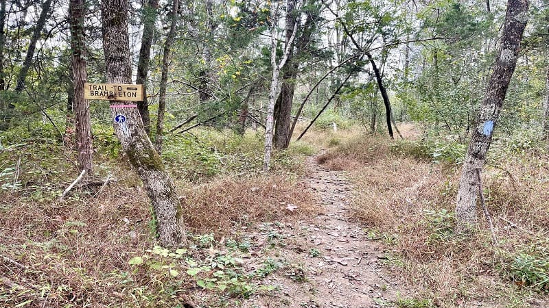
Over the next few miles, you will encounter forest, open fields and the overgrowth (and possibly ticks) that trail reviewers gripe about with regard to this hiking trail.
Honestly, I thought it would be worse based on what I had read. However, I also wore long pants and I think that may have made all the difference.
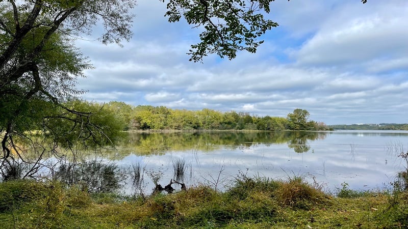
Along the way, you can cross over small creeks and savor the silence. At the 5.3-mile mark, you’ll reach another open space where you can access the reservoir.
You’ll also find a few more rusted relics from days long since gone. Among them, some old appliances, maybe a refrigerator or range. You make the call.
Continue along for more chances to take in the views across the reservoir. At the 6.8-mile mark, you’ll arrive at a fun rock scramble.
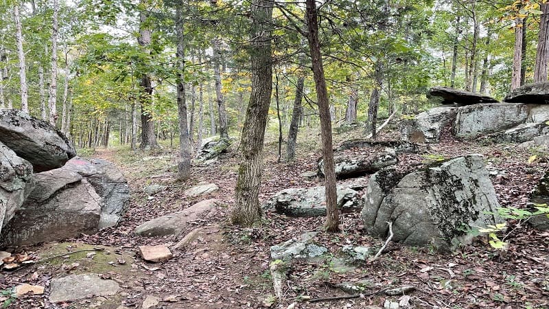
After the rock scramble, it’s another 0.2 miles to the NRPA trailhead. However, if you make it this far, you’ll have to turn around since this trailhead is closed.
In light of this closure, your best bet for a nice hike with good views is to park at Mt. Hope or Tillett Field. Hike counter-clockwise, then re-trace your steps.
For more fantastic hikes in Loudoun County, check out my posts on hiking trails near Ashburn.

Erin Gifford has completed more than 300 hikes in Virginia. She is also the author of three hiking guidebooks from Falcon Guides. Need help finding a hike? Check out the Trail Finder feature or send Erin an email at [email protected].

