Sugarloaf Loop: A Scenic Loop Hike in Shenandoah National Park’s North District
The moderate 5.1-mile Sugarloaf Loop in Shenandoah National Park’s North District is a quiet hike with scenic mountain views and stream crossings.
This hike follows five hiking trails, including the Piney River Trail, Appalachian Trail, Sugarloaf Trail, Pole Link Bridge Trail and Piney Branch Trail.
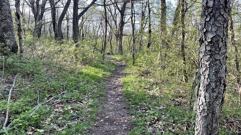
This forested hike is not as popular as many other hikes at Shenandoah National Park, so you may even have the trails nearly all to yourself.
The Sugarloaf Loop is located in the Keyser Run area of the park. Plan to cross over Skyline Drive twice before you complete this hike.
| Trail Stats | |
|---|---|
| Length | 5.1 miles |
| Difficulty | Moderate |
| Trail Type | Loop |
| Elevation Gain | 984 feet |
| Duration | 2.5-3.5 hours |
| Terrain | Mostly dirt & rock trails |
| Dog-Friendly | Yes |
| Fee | $30 per vehicle (good for seven days) |
| Driving Directions | Click Here |
Piney River Trail
Park in the lot at milepost 22. This is home to the the Piney River Technical Building, which housed the offices of park architects and engineers in the 1930s.
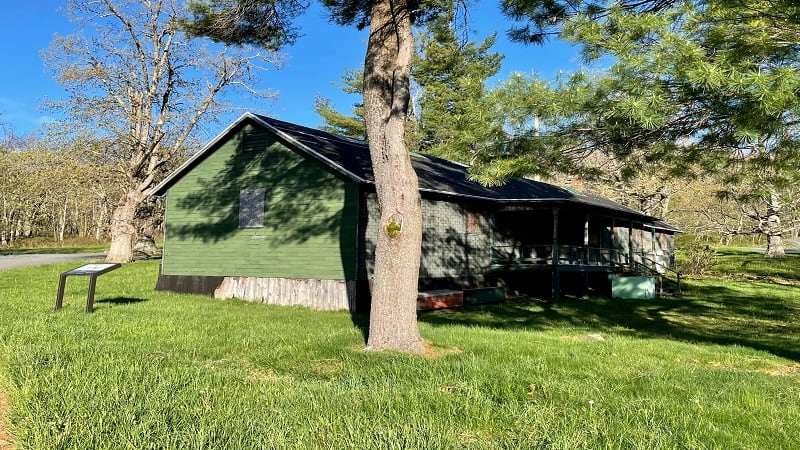
These pros developed plans for the Civilian Conservation Corps workers creating the park. This area was also home to NP-12 (aka “Camp Red Bird”) of the CCC.
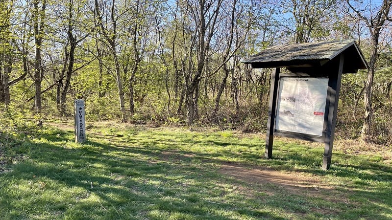
As you walk past the building toward Skyline Drive, you will see the Piney River Trailhead sign on the right. Your hike on the Sugarloaf Loop begins here.
Walk past the large trail kiosk and you will slowly descend along the forested Piney River Trail. Heads up, there is a four-way intersection at the 0.2-mile mark.
Appalachian Trail
For this loop, you can turn left or continue straight ahead. I opted to turn left, starting on the white-blazed Appalachian Trail for a clockwise loop hike.
At the 0.4-mile mark, cross over Skyline Drive, but you’re soon back into the wilderness. Then, a quick reward at the 0.6-mile mark, but it’s very easy to miss.
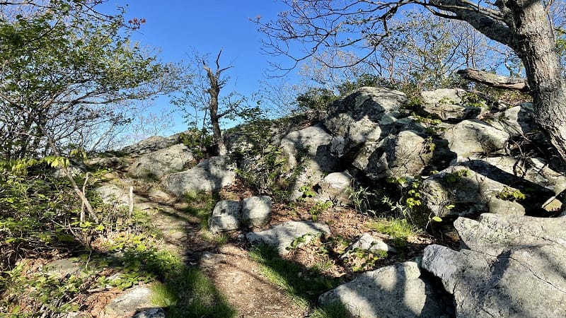
I almost missed the rocky outcrop that wows with wildly scenic mountain views. A short path leads to the top of the rocks. It’s the perfect stop to re-hydrate.
This is the top of Sugarloaf Mountain. Take in the views, then continue on the Appalachian Trail. At the 1.0-mile mark, stay right for the Appalachian Trail.
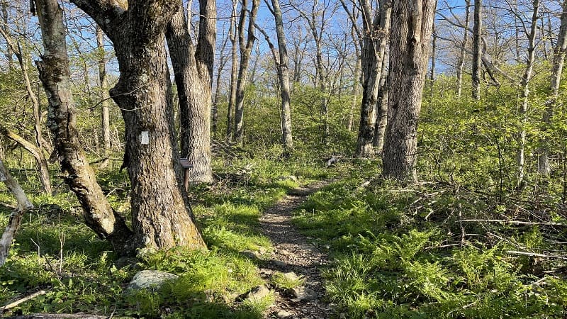
If you were to turn left, you’d be on the Tuscarora-Overall Run Trail on the way to Overall Run Falls. I recently tackled this trail from another direction. So beautiful.
Back to the AT. Continue on, but don’t go too quickly. In a few more steps, there’s a backcountry camping spot on the right that’s just right for a one-person tent.
A short path leads to the flat space. A separate path leads away from the space. The east-facing views are obscured, but it’s still quite a nice spot for sunrise.
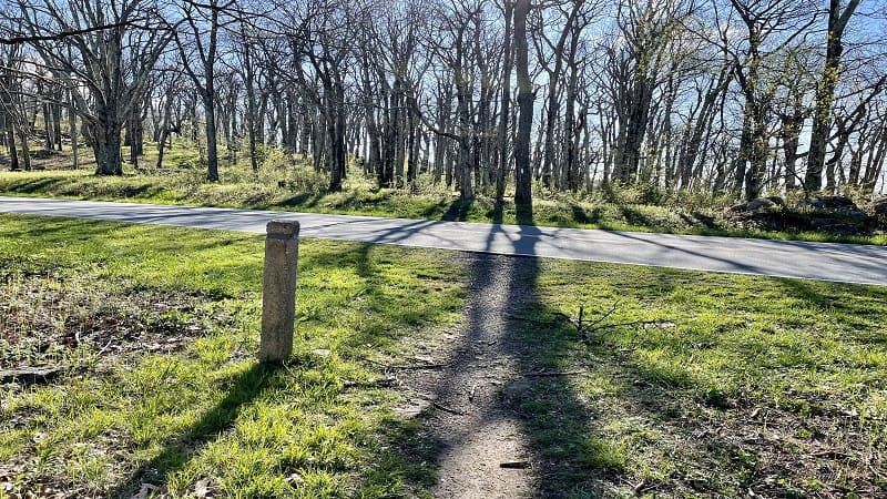
Cross Skyline Drive again at the 1.4-mile mark. You’ll reach a rocky outcrop on the left at the 1.6-mile mark with wide-open mountain and valley views.
The views are amazing, but you’re literally just above Skyline Drive. Like 10-15 feet above the scenic byway at Hogback Overlook.

At the 1.7-mile mark, your time on the Appalachian Trail comes to an end. At the concrete trail marker, turn right on to the more narrow Sugarloaf Trail.
From here, it’s a simple but relaxing walk in the woods. You’ll descend and cross over a few streams before turning right onto the Pole Link Bridge Trail.

At the 3.5-mile mark, stay right for the Piney Branch Trail. You’ll cross over the Piney River in a few more steps (more a creek, really). Then, the ascent begins.
From here, ascend on the Piney Branch Trail to the trailhead. It’s a nice forested walk, but there are no other views or notable features.
Wrap-Up Notes
From the parking area, this hike took me just over two hours to complete, including time spent ogling the views at the overlooks. It was far from seven hours.
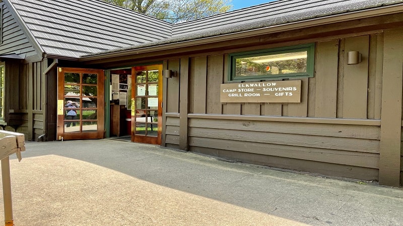
The Piney River Trailhead is just across Skyline Drive from the Mathews Arm campground and picnic grounds.
For drinks, snacks, souvenirs and restrooms, Elkwallow Wayside is just two miles south on Skyline Drive (open seasonally).

Erin Gifford has completed more than 300 hikes in Virginia. She is also the author of three hiking guidebooks from Falcon Guides. Need help finding a hike? Check out the Trail Finder feature or send Erin an email at [email protected].


