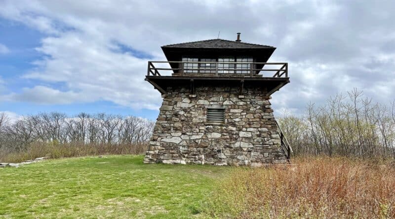
High Knob Fire Tower: Hike to Scenic 360-Degree Views Near Harrisonburg, Virginia
There are only a few standing fire towers left in Virginia, including High Knob Fire Tower. Even better, a short hike leads to this historic rock lookout tower.
High Knob Fire Tower is an easy 35-minute drive northwest of James Madison University in Harrisonburg. That noted, it’s very popular with local students.
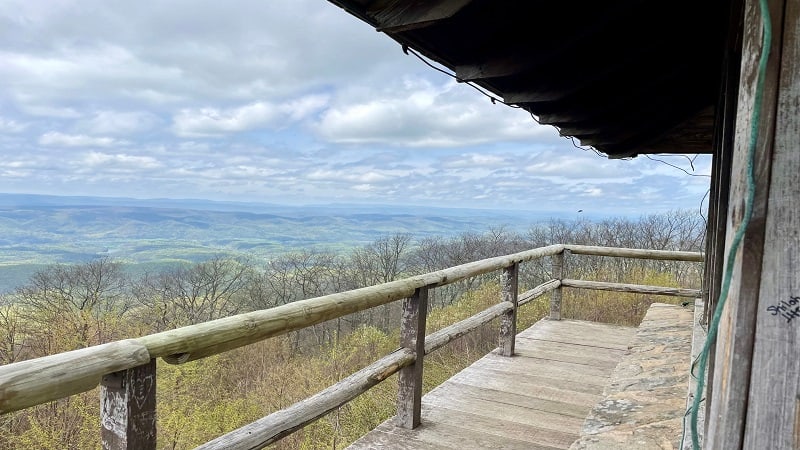
A 1.4-mile hike (one-way) leads to the lookout tower, which sits on the border with West Virginia. In fact, the parking area is in West Virginia, but just barely.
From the base, 30 wooden steps lead to a wrap-around catwalk with views that literally go on for miles across the George Washington National Forest.
| Trail Stats | |
|---|---|
| Length | 2.8 miles |
| Difficulty | Moderate |
| Trail Type | Out-and-Back |
| Elevation Gain | 682 feet |
| Duration | 2-2.5 hours |
| Terrain | Mostly dirt & rock trails |
| Dog-Friendly | Yes |
| Fee | Free |
| Driving Directions | Click Here |
High Knob Fire Tower
Work began on the High Knob Fire Tower in 1939, led by World War I veterans. The fire tower was finished in 1940 by the men of the Civilian Conservation Corps.
Today, fire towers are no longer used to detect fires. Instead, local residents and aerial detection flights warn of area forest fires.

High Knob Fire Tower was named a National Historic Lookout on January 27, 1994. Made of rock, the tower is uncommon. Most towers were made of wood or metal.
This historic structure on Shenandoah Mountain was restored in 2003 to return the window-filled wood-frame cab atop the tower to its original manifestation.
Shenandoah Mountain Trail
The hike begins from a mid-size unmarked parking area on U.S. Route 33 (Rawley Pike) in West Virginia. It’s a stone’s throw across the state line.
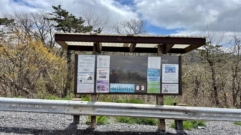
There are no signs to mark the parking entrance. However, a large trail kiosk sits at the south end of the parking area. Unfortunately, there is no trail map.
From the trail kiosk, look left to the corner of the parking area. Here, the Shenandoah Mountain Trail begins from an opening in the metal guard rail.
As you descend into the forest, you’ll see a yellow blaze marking the trail. At the 0.5-mile mark, the trail jogs left and you’ll see a primitive camp site.

The hiking trail follows along an uneven ridge top. Take in the scenic mountain views through leafless trees from fall to spring as you ascend to the tower.
High Knob Trail
At the 0.8-mile mark, you will arrive at a trail sign. Turn left here to follow the yellow blazes, which now mark the High Knob Trail.
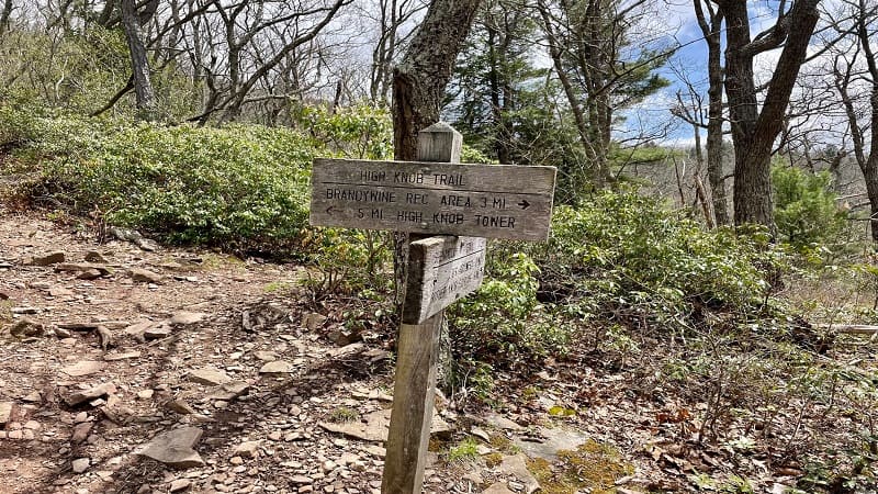
This section is rocky and steep, but it’s also quite short. At the 0.9-mile mark, turn right to stay on the trail, which becomes flat like a road for a short distance.
Stay left at the 1.0-mile mark as the trail skirts along the edge of private property. As the signs note, “Please Stay on the Trail.”
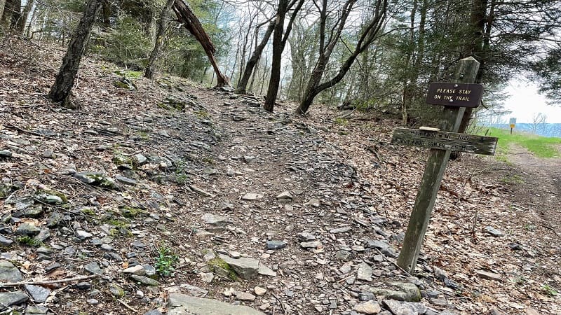
Keep climbing, you’ll reach High Knob (elevation 4,107 feet) at the 1.3-mile mark. You’ll see a fire tower, a fire ring and a large sign for High Knob Tower.
Admire the lookout tower from every angle, then climb 30 steps to walk the catwalk for spectacular panoramas across the Blue Ridge Mountains.
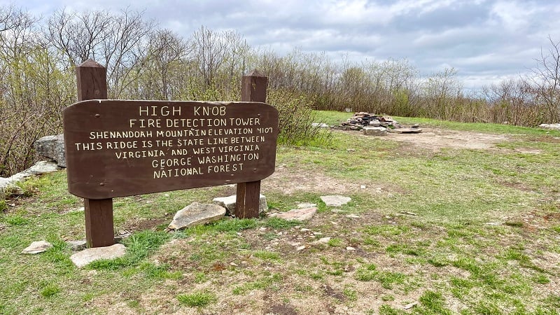
Once you’ve soaked up all the views, re-trace your steps to the parking area.
Wrap-Up Notes
From the parking lot, the High Knob Fire Tower hike took me 90 minutes, including time spent savoring all the wilderness views from the tower catwalk.
Interestingly, Virginia is home to more than one High Knob Tower. The other one is located nearly five hours away by car in Norton, Virginia.
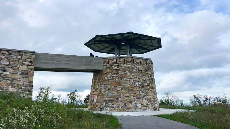
Norton’s High Knob Lookout Tower was destroyed by arson in 2007. However, the stone tower in Southwest Virginia was rebuilt in 2014.
High Knob Tower in Norton is an easy .25-mile walk from the parking area, making it a cinch to revel in the views across the Jefferson National Forest.

Erin Gifford has completed more than 300 hikes in Virginia. She is also the author of three hiking guidebooks from Falcon Guides. Need help finding a hike? Check out the Trail Finder feature or send Erin an email at [email protected].

