Butterfly Trail: A Delightful Leg-Stretcher Hike on Virginia’s Eastern Shore
Those eager for a quick leg-stretcher hike after crossing the 17.6-mile Chesapeake Bay Bridge-Tunnel to Virginia’s Eastern Shore will want to look to the Butterfly Trail.
This easy coastal trail is located at the 1,123-acre Eastern Shore of Virginia National Wildlife Refuge, which sits between the Atlantic Ocean and the Chesapeake Bay.
The Butterfly Trail can be accessed from the wildlife refuge’s visitor center. There is also a connector trail from the bridge-tunnel welcome center, just off U.S. Route 13.
Situated at the tip of the Delmarva Peninsula, the refuge is an important stopover for migratory birds. The area also has a military history that dates back to World War II.
| Trail Stats | |
|---|---|
| Length | 1.4 miles |
| Difficulty | Easy |
| Trail Type | Out-and-Back |
| Elevation Gain | 36 feet |
| Duration | 1-1.5 hours |
| Terrain | Mostly grass & gravel |
| Dog-Friendly | Yes |
| Fee | Free |
| Driving Directions | Click Here |
Arriving at the Trailhead
The start of the trail is located to the right of the Eastern Shore of Virginia National Wildlife Refuge Visitor Center. Look for the sign with the bright-orange butterfly.
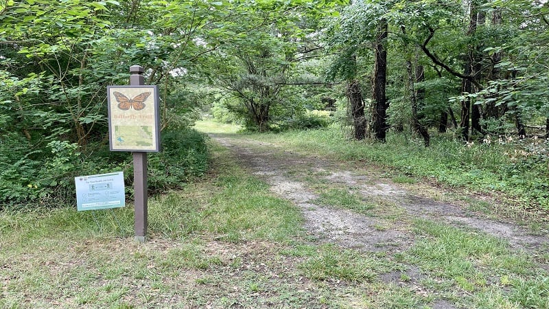
The trailhead is just steps from a parking area that has room for at least a dozen cars. Note that the visitor center (including on-site restrooms) is not open every day.
In the off-season, the visitor center is open Saturdays from 10 am to 2 pm. On a recent visit in early-June, the visitor center was not yet operating on in-season hours.
The First Steps
Shortly after the start of the hike, you will reach a couple of educational kiosks with a map and the scoop on what you’ll find in the visitor center and at the refuge.
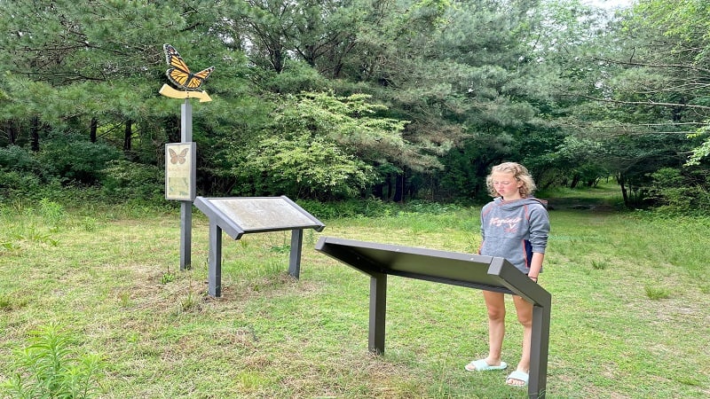
As you continue on, you’ll notice placards every so often, like the first one on seasonal birds, including osprey, tree swallows and pine warblers, that can be seen in summer.
Another small placard encourages visitors to use their senses, including sight, smell and hearing, as birds and butterflies do. The placards provide an education for children.

If you arrive on a day when the visitor center is open, pop in to pick up a Junior Refuge Manager booklet. Children can complete activities to earn an official patch.
At the .2-mile mark, you will reach the connector trail from the bridge-tunnel welcome center. Keep walking straight ahead to stay on the Butterfly Trail.
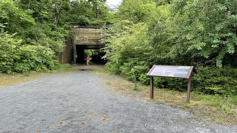
The trail takes a historic turn when you reach a tunnel and learn that military were once stationed here to protect the Chesapeake Bay, area naval bases, even our nation’s capital.
During World War II, 800 soldiers patrolled the grounds at what was briefly called Fort Custis during the height of the war. The military installation closed in 1948.
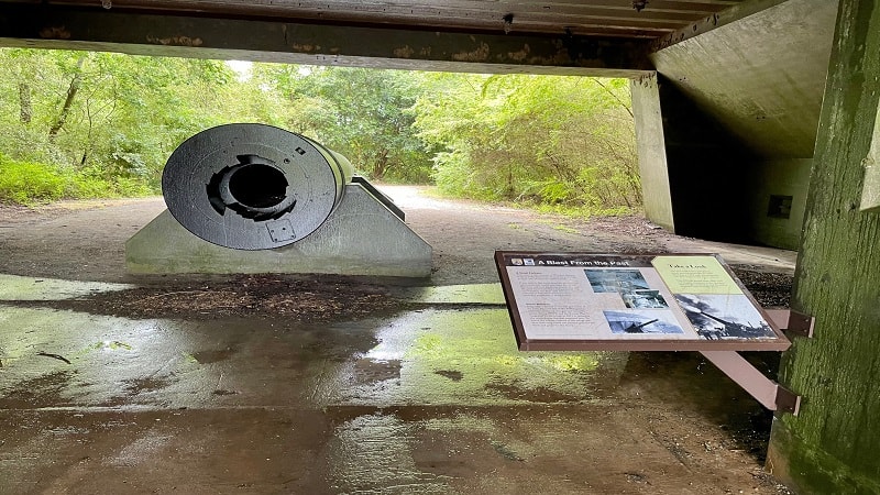
The installation returned to life in 1950 as the Cape Charles Air Force Station, serving as part of a national radar network until 1981 when the site closed for good.
Today, just through the tunnel, you’ll see the remains of the Winslow Battery, which once had two 16-inch guns. Each gun could hurl a one-ton projectile up to 25 miles.

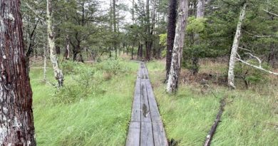
As you continue on, the trail turns from mostly grass to gravel. At the .6-mile mark, veer left to reach a fenced-in historic cemetery on the right.
A small placard notes that this is the private burial site of the Fitchett and Hallett families. Both played an important role in farming on Virginia’s Eastern Shore.
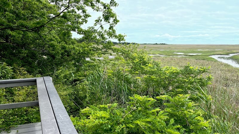
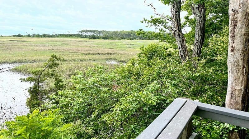
At the .7-mile mark, you will reach a marsh overlook. A placard points out the Cape Charles Lighthouse in the distance that welcomes travelers to the Eastern Shore.
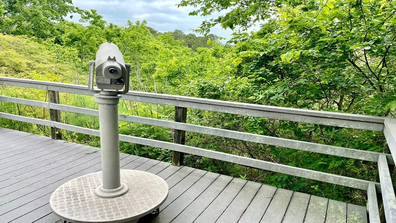
Re-trace your steps. Then, at the .8-mile mark, ascend a few dozen steps to the observation deck to see Fisherman Island, one of Virginia’s 23 barrier islands.

Fisherman Island is Virginia’s southernmost barrier island. Today, the island is a crucial habitat for migrating and nesting shorebirds.
However, in the late-1800’s, Fisherman Island was the site of a marine hospital and quarantine station for immigrants on their way to Baltimore and Newport News.
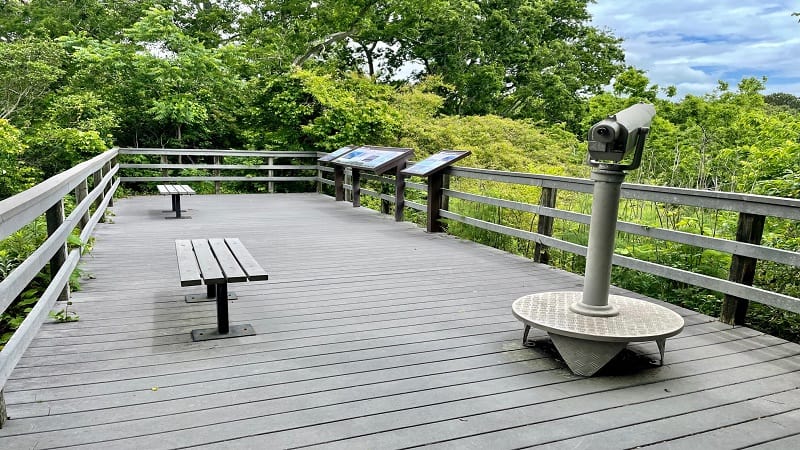
The barrier island also served as a key harbor defense in World War I and World War II. Today, the barrier island chain serves as the mainland’s first defense against natural forces.
From the observation deck, re-trace your steps back down and turn right at the bottom of the stairs. Turn left at the .9-mile mark and continue on to the parking area.
Wrap-Up Notes
From the parking area, this Coastal Virginia hike took just under 45 minutes. There’s a lot to read and take in on the history of the wildlife refuge, so take your time.
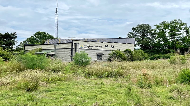
The visitor center is also an access point for the 2.5-mile Southern Tip Bike and Hike Trail (one-way). There is also a .5-mile Wildlife Trail.
For more hiking, as well as biking and paddling, Kiptopeke State Park is less than a 10-minute drive north on U.S. Route 13.

Erin Gifford has completed more than 300 hikes in Virginia. She is also the author of three hiking guidebooks from Falcon Guides. Need help finding a hike? Check out the Trail Finder feature or send Erin an email at [email protected].

