Lake Mercer: An Easy-Going Lake Loop Hike in Springfield
There are days when you just want to get out of the house and into the woods. That was me not long ago when I explored Lake Mercer in Springfield, Virginia.
Lake Mercer is located within 154-acre Lake Mercer Park. This isn’t much of a park. Really it’s just a patch of land surrounding the lake.
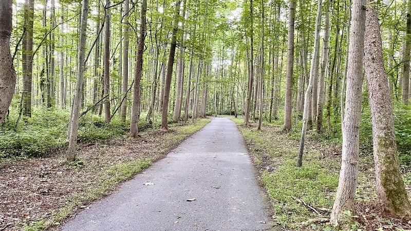
The Lake Mercer Loop encircles the lake, but you can only access this mostly paved trail by way of a surrounding neighborhood or via South Run District Park.
This shady trail was a good pick for a Friday morning. It was simple, there were lots of trees and shade, and it was easy to relax. It was a great way to cap off the week.
| Trail Stats | |
|---|---|
| Length | 4.2 miles |
| Difficulty | Easy |
| Trail Type | Loop |
| Elevation Gain | 187 feet |
| Duration | 2-2.5 hours |
| Terrain | Mostly paved, some gravel trail |
| Dog-Friendly | Yes |
| Fee | Free |
| Driving Directions | Click Here |
South Run District Park
I accessed the trail from South Run District Park. To be precise, I started at the trailhead just behind the South Run RECenter.
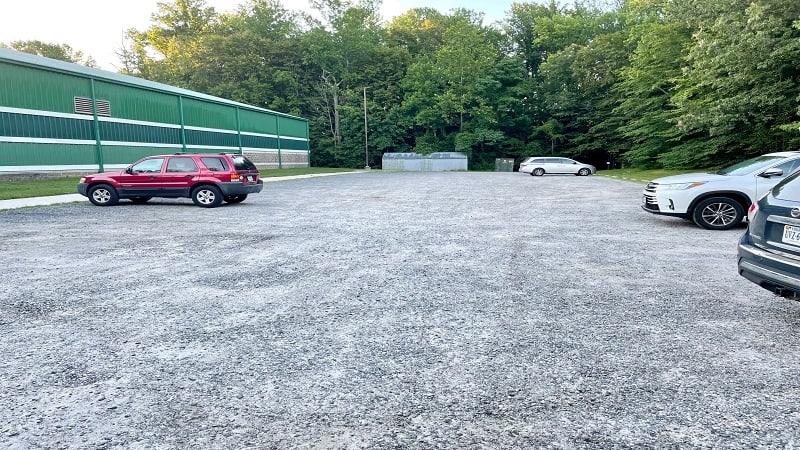
The gravel parking lot is fairly large, with room for at least two dozen cars. You’ll see a large trail kiosk with a map of the South Run Stream Valley Trail.
This four-mile cross county trail connects Burke Lake Park with South Run Road. South Run District Park and Lake Mercer are both kind of in the middle.
This Fairfax County park hike begins at the large trail kiosk on the right side of the paved trail. From here, you’ll slowly descend into the forest on this wooded trail.
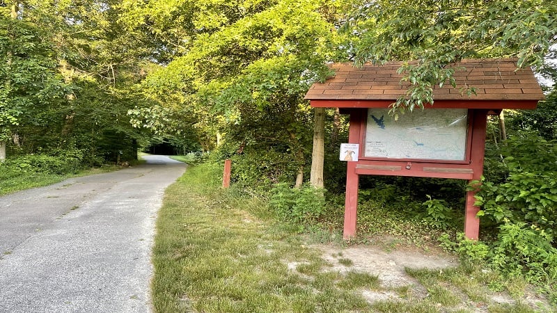
At the .1-mile mark, you’ll reach a fork in the trail. There is a small trail map, but it’s not entirely clear which way to go. Turn left at this intersection.
Lake Mercer Trail
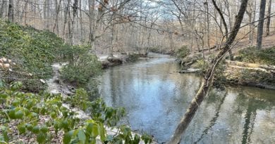
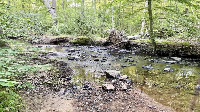
From here, you’ll walk alongside South Run. You’ll also see an educational placard on the importance of trees, shrubs and grasses to healthy streams.
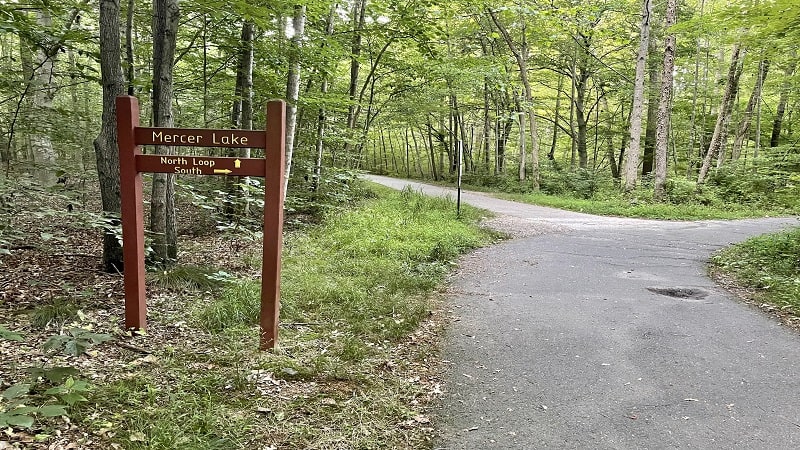
As you move along, you’ll enter South Run Stream Valley Park (though there are really no signs to let you know). At the .4-mile mark, the Lake Mercer Loop begins.
I turned right for the South Loop (counter-clockwise). In a few steps, you will cross over South Run on a pedestrian footbridge.
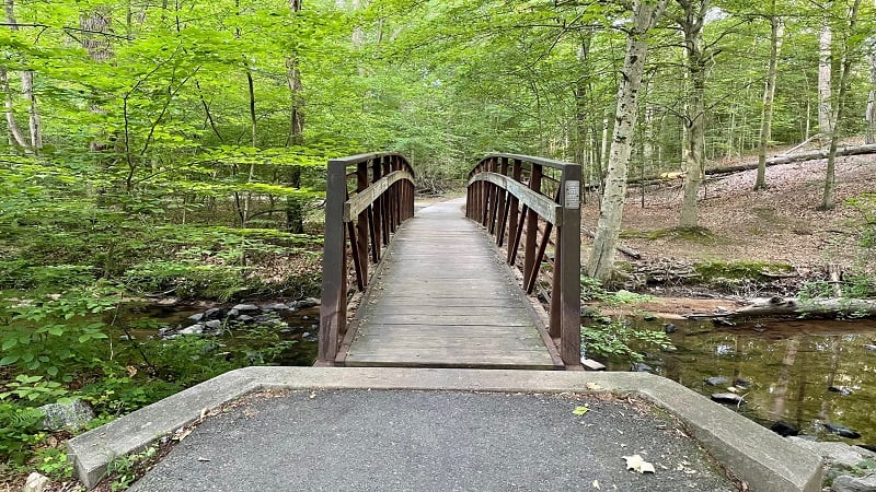
In a few more steps, you will reach another fork. Stay to the left. From this point on, you will reach many unmarked forks. My general guidance is to stay left.
From here, it’s a relaxing walk through the woods on a paved path. Single-family homes in the Crosspointe neighborhood back up to the trail here and there.
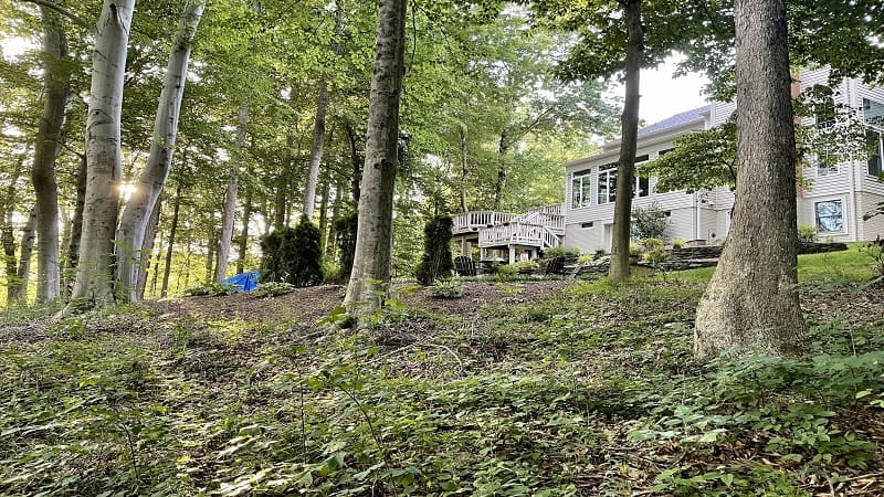
Every once and a while, the trail will fork. Again, stay to the left because the fork on the right almost always leads into the Crosspointe subdivision.
Lake Mercer
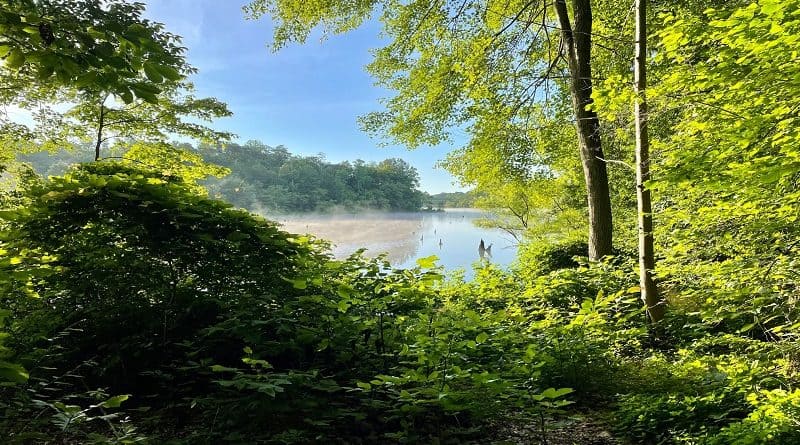
At the 1.8-mile mark, you’ll see a relaxing bench on the side of the trail. Here you can also step right out to the lake for beautiful water views.
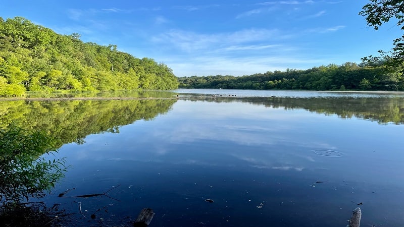
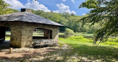
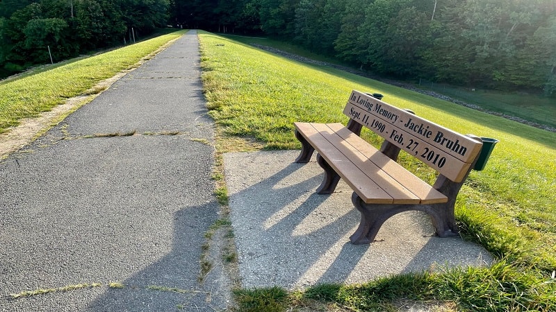
You’ll arrive at a walkway over the Lake Mercer Dam at the 2.1-mile mark. The lake views to the left are fantastic. A bench in the middle allows you to sit for the views.
At the 2.3-mile mark, the walkway over the dam ends. Stay to the left to continue on the outskirts of a section of townhouses.
AllTrails indicates that there is a trail that leads out to Lake Mercer and a viewing area at the 2.7-mile mark. Sadly, this is not true.
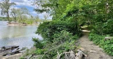
Interestingly, at the 2.9-mile mark, the paved trail just ends. It’s very odd. Turn left here onto a gravel path that leads toward Lake Mercer.
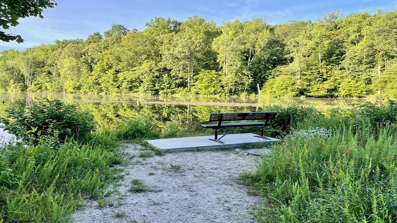
Continue along a wide gravel path. Keep your eyes open. At the 3.1-mile mark, a short spur trail on the left leads to a delightful bench with lake views.
Lake Loop
You’ll reach a fork in the trail at the 3.4-mile mark. If you go straight (I did), you’ll reach a small parking area to cut across, then enter the forest on a dirt trail.
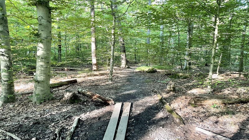
The forested trail re-connects with the main trail (now paved again) at the 3.7-mile mark. Turn right when it does. It’s honestly kind of random.
If I were to do this trail again, I’d skip the forested trail and simply turn left to continue on the paved trail. Shortly, you’ll cross over a creek on a footbridge.
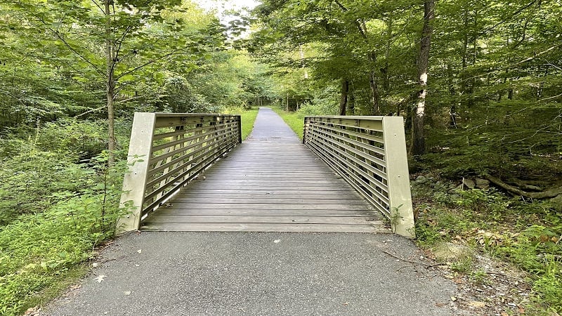
At the 3.9-mile mark, you’ll close the Lake Mercer Loop. Turn right here to re-trace your steps to the parking area.
Wrap-Up Notes
This easy-going Northern Virginia hike took me nearly 90 minutes. I’m not a huge fan of paved trails, but it was nice to get into the woods and not have a long drive.
This trail is popular, so get there early. I arrived at 6:30 am and I wasn’t alone. By the time I was wrapping up at 8 am, the trail was starting to get busy.
Another nice lake with an easy-going loop trail is Lake Accotink in Springfield. It’s less than 25 minutes from Lake Mercer.

Erin Gifford has completed more than 300 hikes in Virginia. She is also the author of three hiking guidebooks from Falcon Guides. Need help finding a hike? Check out the Trail Finder feature or send Erin an email at [email protected].

